
What Is Geoinnovation Summit? Everything to Know About the 2026 Event
What is GeoInnovation Summit, and why is it attracting attention? The event is gaining interest within Nigeria’s geospatial and technology community.
GeoInnovation Summit is organised by Geoinfotech. It brings together people interested in geospatial technology and innovation. Other areas include unmanned aerial vehicles (UAVs), surveillance solutions and related technologies.
Furthermore, the summit provides a platform for industry conversations and technology showcases. Participants can also network and explore practical applications of emerging technologies.
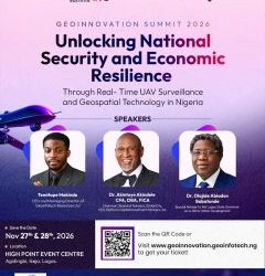
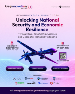
The third edition, GeoInnovation Summit 3.0, is scheduled for November 27–28, 2026. It will take place at High Point Event Centre, Agidingbi, Ikeja, Lagos, Nigeria.
This year’s summit focuses on real-time UAV surveillance and geospatial technology. It also explores their relationship with national security and economic resilience.
Whether you are a GIS professional, drone pilot or student, the event may interest you. Entrepreneurs, government representatives and technology enthusiasts can also benefit. Understanding the summit’s purpose can help you decide whether it aligns with your goals.
What Is GeoInnovation Summit 3.0?
GeoInnovation Summit 3.0 is a technology-focused gathering. It aims to connect industry leaders, geospatial professionals and innovators. Researchers, businesses and decision-makers are also part of its target audience.
Its central purpose is to encourage discussions about geospatial intelligence. It also explores how emerging technologies can address practical challenges in Nigeria.
Geospatial technology helps people understand locations and analyse geographical information. Consequently, organisations can make decisions using spatial data.
These technologies include Geographic Information Systems (GIS) and remote sensing. Satellite imagery, drone technology and spatial analytics are also important components.
Their applications extend across several industries. These include security, agriculture and environmental management. They also support infrastructure development, urban planning and emergency response.
Through the summit, professionals can explore developments across these fields. They can also exchange ideas and build valuable connections.
Importantly, the event goes beyond mapping and software. It connects geospatial innovation with wider national priorities. These include security, business operations, infrastructure and national development.
What Is the Theme of GeoInnovation Summit 2026?
The official theme for GeoInnovation Summit 3.0 is:
“Unlocking National Security and Economic Resilience Through Real-Time UAV Surveillance and Geospatial Technology in Nigeria.”
This theme highlights technology’s role in modern decision-making. It explores how organisations can monitor activities and understand their environments. As a result, they can make more informed decisions.
Two important areas form the centre of this theme.
Real-Time UAV Surveillance
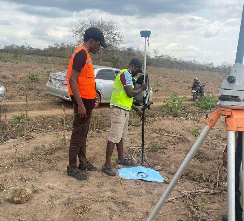
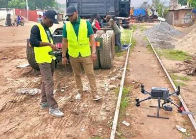
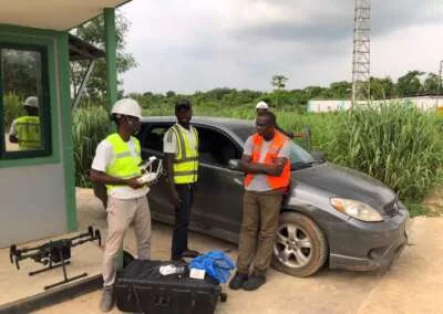
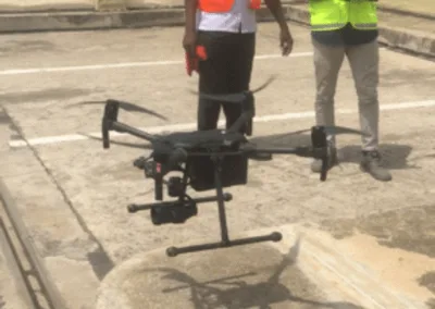
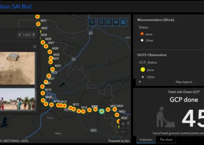
UAVs, commonly known as drones, collect useful aerial information. This information can support monitoring, inspection, surveying and surveillance.
Depending on the equipment and operational setup, drones offer several capabilities. They can help organisations observe infrastructure and inspect difficult-to-access locations. They can also collect information for further analysis.
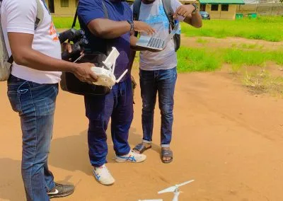
For example, drones can support oil and gas infrastructure inspections. They are also useful for construction monitoring and agricultural assessment. Other applications include land surveying and environmental observation.
Consequently, the summit’s focus highlights the growing importance of aerial data collection. It also connects UAV technology with security and operational decision-making.
Geospatial Technology and Intelligence
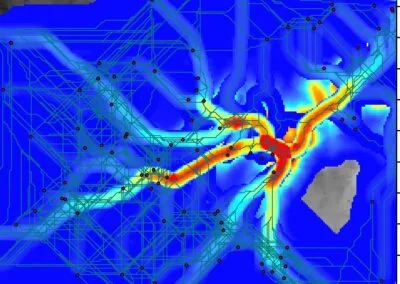
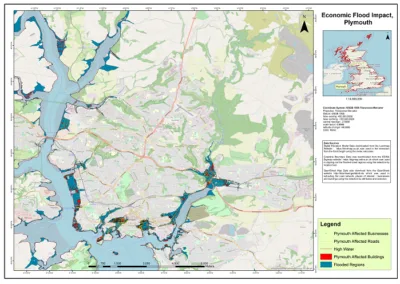
Geospatial technology allows users to collect and manage location-based information. It also supports analysis and visualisation of spatial data.
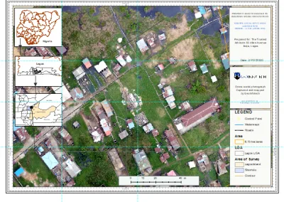
For instance, GIS can identify the locations of critical infrastructure. Similarly, remote sensing can reveal environmental changes. Spatial analysis can also help organisations identify risks and service gaps.
When combined with suitable aerial data, these technologies become even more useful. They can improve situational awareness and support informed decisions.
Ultimately, the summit brings these capabilities into a wider discussion. Its focus is on national security and economic resilience in Nigeria.
Why Was GeoInnovation Summit Created?
Modern challenges often require more than one technology or area of expertise.
For example, protecting critical infrastructure requires reliable information. Monitoring environmental changes also requires appropriate tools. Similarly, urban development depends on effective planning and collaboration.
These challenges often involve data collection and spatial analysis. They also require technological innovation and cooperation between stakeholders.
Against this background, events such as GeoInnovation Summit create valuable opportunities. They encourage discussions about technology and practical solutions.
The summit also highlights the importance of connecting technical expertise with industry needs. Businesses, government agencies and communities all have different priorities.
By bringing these groups together, GeoInnovation Summit encourages knowledge exchange. It also supports professional relationships and greater awareness of geospatial technologies.
Furthermore, the event creates opportunities for organisations and innovators. They can explore possibilities within Nigeria’s growing technology ecosystem.
What Happens at GeoInnovation Summit?
GeoInnovation Summit 3.0 is planned as a two-day gathering. It will feature several announced activities and engagement opportunities.
1. Industry Conversations
The summit will bring together industry leaders and experts. They will share perspectives on geospatial innovation and UAV surveillance. Discussions will also address national security and economic development.
Through these conversations, participants can explore industry challenges. They can also examine opportunities for practical technology applications.
2. Product Showcases
Product showcases will introduce participants to relevant technologies. These may include solutions for the geospatial and wider technology industries.
In addition, attendees can explore how different products address operational needs. This can help organisations identify suitable technology solutions.
3. Emerging Technologies
The event will highlight emerging technologies and their potential applications.
For GIS and remote sensing professionals, this offers valuable exposure. Drone enthusiasts and geospatial intelligence specialists can also benefit.
Furthermore, participants can explore developments shaping the wider technology industry.
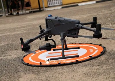
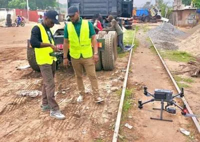
4. Live Drone Displays
Live drone displays are among the experiences announced for the summit.
These demonstrations will add a practical dimension to the event. They will also allow attendees to engage with UAV capabilities beyond theoretical discussions.
5. Networking Opportunities
The summit will attract participants from different professional backgrounds. This creates opportunities for meaningful networking.
Attendees can exchange knowledge and discover shared interests. They can also explore possible collaborations.
For students and early-career professionals, networking offers additional benefits. It provides opportunities to meet experienced people in their chosen fields.
6. Innovation Competitions
GeoInnovation Summit 3.0 will also feature two competitions. These are the GeoInnovation GIS Challenge 2026 and the Drone Race Competition.
The GIS Challenge encourages participants to develop practical geospatial solutions. Its focus areas include security and infrastructure protection. Disaster response, agriculture and environmental management are also included.
The announced prize pool is ₦600,000.
Meanwhile, the Drone Race Competition will challenge teams to navigate a gated course. Participants will demonstrate drone speed, precision and control.
The announced prize pool for this competition is ₦1.6 million.
However, registration deadlines and participation requirements differ. Therefore, interested participants should consult the official summit website for updates.
Who Is GeoInnovation Summit For?
GeoInnovation Summit is relevant to people with different professional interests. It also welcomes participants from various academic backgrounds.
GIS and geospatial professionals: The summit offers opportunities to explore geospatial intelligence. Participants can also discuss its applications across different industries.
Drone pilots and UAV enthusiasts: Those interested in aerial data collection can benefit. They can also explore developments in surveillance and drone technology.
Students and recent graduates: Students studying geography, surveying and computer science are welcome. Those in environmental science and related disciplines can also participate. In particular, the event offers valuable industry exposure.
Government agencies and policymakers: Public-sector stakeholders can explore location-based intelligence. These applications may support planning, monitoring and decision-making.
Security and defence professionals: The summit’s central theme is relevant to security operations. It also addresses surveillance, situational awareness and critical infrastructure protection.
Business owners and entrepreneurs: Organisations can explore geospatial technology solutions. They can also discover professional connections and potential business opportunities.
Researchers and innovators: Participants developing new ideas can engage with the wider industry. Additionally, they can exchange knowledge with other technology professionals.
Importantly, you do not need to be a GIS specialist to attend. The summit connects geospatial and UAV technologies with wider societal issues. These include challenges affecting businesses and public institutions.
Why Is GeoInnovation Summit Important to Nigeria?
Nigeria faces several challenges and opportunities. These span infrastructure, security, agriculture and environmental management. Urban development is another important area.
Technology alone cannot solve every challenge. However, appropriate tools and reliable information can support better decisions. They also help organisations monitor activities and understand changing conditions.
Geospatial technology contributes by providing location-based information. It also offers analytical capabilities for different applications.
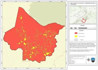
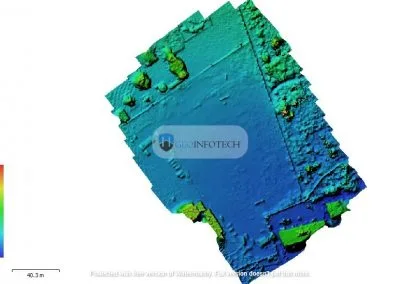
For example, drone surveys can support infrastructure inspections. Similarly, GIS can help organisations analyse facility distribution. Remote sensing can also monitor land-use and environmental changes.
These examples demonstrate why geospatial technology matters beyond map production.
By focusing on UAV surveillance and geospatial intelligence, the summit encourages important discussions. Participants can explore how these technologies support national security. They can also examine their contribution to economic resilience.
Furthermore, the event promotes technical skills and innovation. It also encourages professional connections within Nigeria’s technology ecosystem.
What Are the Details of GeoInnovation Summit 3.0?
Considering attending? Here are the essential event details.
Event name: GeoInnovation Summit 3.0
Dates: November 27–28, 2026
Venue: High Point Event Centre, Agidingbi, Ikeja, Lagos, Nigeria
Organiser: Geoinfotech
Theme: Unlocking National Security and Economic Resilience Through Real-Time UAV Surveillance and Geospatial Technology in Nigeria.
For ticket information, registration and further announcements, visit the official GeoInnovation Summit website.
How Can You Participate?
Your participation will depend on your interests and professional goals.
As a student or professional, you can attend to learn about industry developments. You can also connect with people working in the field.
For businesses and organisations, the summit offers another opportunity. You can explore how geospatial technology relates to your operations. You can also identify potential areas for collaboration.
Meanwhile, GIS professionals and drone operators can follow the event’s activities. The competitions may also provide opportunities to engage with other practitioners and innovators.
Before attending, review the available event information. Additionally, confirm ticket availability and check for programme updates. The official website is the best place to find current announcements.
Be Part of GeoInnovation Summit 3.0
GeoInnovation Summit is about more than maps and drones. It highlights the wider role of technology in modern society.
Through geospatial tools, organisations can understand locations and monitor activities. They can also support better decisions and address practical challenges.
The 2026 edition will explore these opportunities through its central theme. It will examine the connection between UAV surveillance, geospatial technology and national security. Economic resilience will also remain an important focus.
For geospatial professionals, students and businesses, the summit offers an opportunity to engage. Government representatives and technology enthusiasts are equally welcome.
GeoInnovation Summit 3.0 takes place on November 27–28, 2026, at High Point Event Centre, Ikeja, Lagos.
Visit the official GeoInnovation Summit website to learn more. You can also review event updates and plan your participation.