Geo-infotech Resources Limited was awarded a project to inspect 10 sites located across Lagos state (both mainland and Island) and this inspection was to be done using a UAV (drone). The project started on 5th October 2022 and ended on 12th October 2022 with all deliverables and technical report submissions. This report describes in detail the works carried out.
[iframe src=”https://www.arcgis.com/apps/instant/basic/index.html?appid=fe3858b7b2474a23861cd80fc7b2e64c” width=”100%” height=”600″]
1.1 Project Specifications
The scope of work for this project is as follows:
Reconnaissance Survey
Drone Survey for Inspection
Deliverables (Video, Photo of the entire study site, Dashboard)
Report to be presented using Ms. Office Suite
2.0 Project Personnel and Equipment
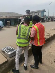
2.1 Personnel:
The following personnel made up the project team that carried out the project
| Personnel Designation | Name |
| Drone Pilot | Makinde Temitope |
| Assistant Surveyor/Pilot | Bolutife Williams |
| Assistant Surveyor/Pilot | Oluwaseun Olugbesan |
| Assistant Pilot | Surv. Oluokun Segun |
2.2 Equipment:
The following equipment was used in the execution of the project.
2.3 Data Acquisition:
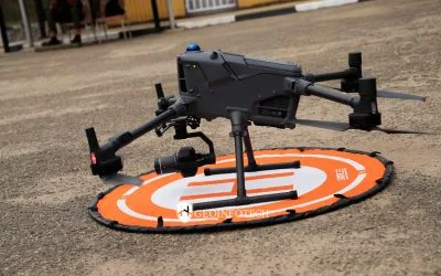
– Unmanned Aircraft Systems
2.4 Data Processing Software & Result Presentation:
– Arc-GIS Online Dashboard
– MS Office Suite
3.0 Methodology
3.1 Project Strategy
The project was carried out in two phases namely, Field Work and Office Work
3.2 Field Work Phase
The works carried out under the Field Work Phase are
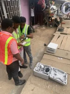
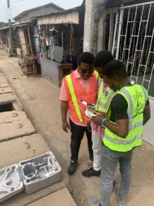
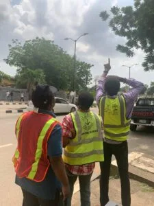
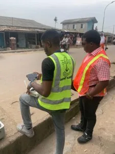
- – Mobilization
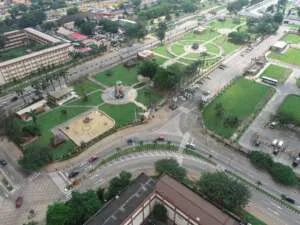
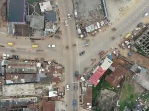
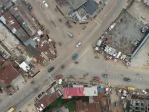
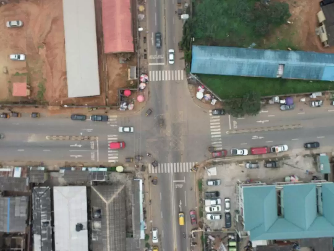
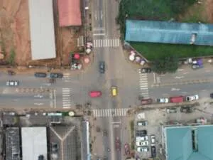
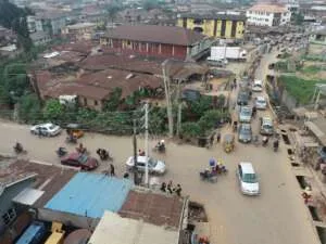
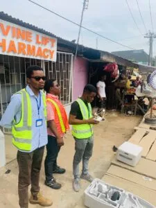
- – Reconnaissance: Site inspection was carried out to get an overview of the work area.
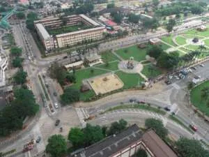
- – UAVs were deployed to also capture imageries (photos) and for videography of the entire sites.
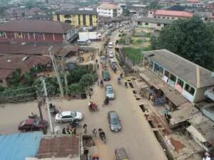
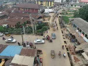
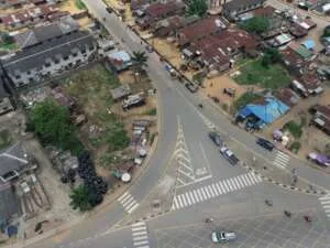
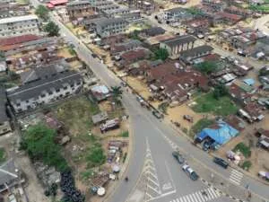
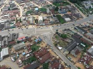
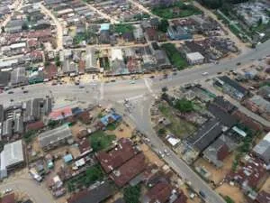
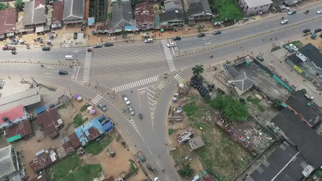
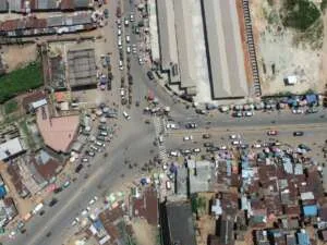
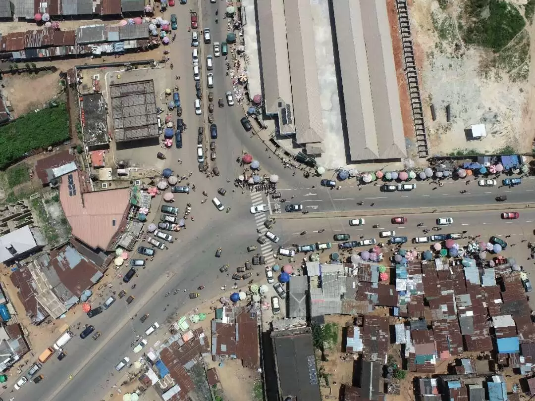
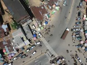
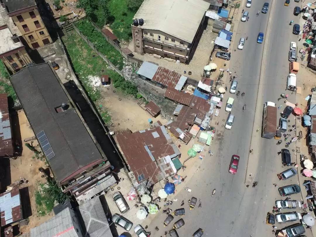
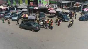
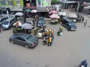
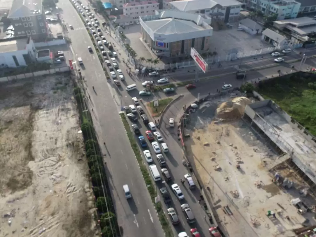
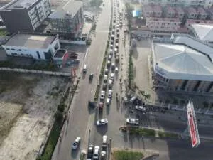
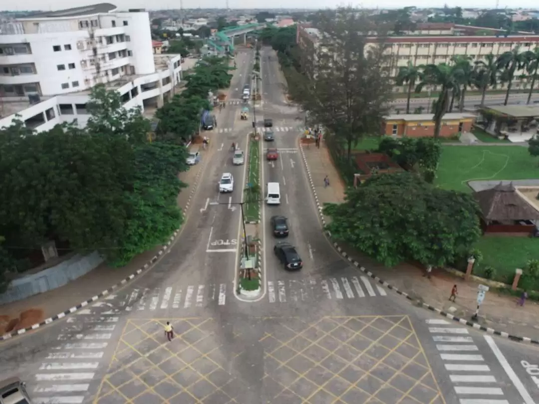
– This was done for the 10 sites,
- IPAJARD /MARKAZ RD/SOFUNDE STR
- EKORO RD/MEIRAN RD/ COMMAND RD,
- ALIMOSHO
- EKORO RD/OLD OTA RD/ EKORO JNC,
- ALIMOSHO
- LAGOS RD/ HOSPITAL RD R/A, EPE
- LAGOS RD /AIYETORO RD, EPE
- OGUNLANA DR/PLUFEMI STR/AKERELE STR.
- SURULERE
- ALHAJI ALAGOGO STR/ELUKUSTR/ADENIRAN
- OGUNSANYA STR, IKORODU
- HERBERT MACAULEY/PANTI RD, YABA
- SECRETARIAT RD/ALAUSA CARPARK
- ADMIRALTY WAY/ADMIRALTY ROAD, LEKKI
3.3 Office Work Phase
The works carried out under the Office Work Phase are:
– The captured imageries, photographs, and videos were also downloaded from the UAV
– The information regarding each site (coordinates, pictures, videos) were uploaded to Arc-GIS online for dashboard creation.
4.0 Deliverables
The deliverables for the project are both in hardcopy and softcopy and are as stated in the table below:
| Type | Description |
| Data | Pictures and Videos that were taken on-site. |
| Report | PDF and Word format |
5.0 Conclusions
The Site inspection was carried out carefully and diligently, making sure all information required by the client was attained and goals achieved.