
BOUNDARY SURVEY AND ENCROACHMENT ANALYSIS: HOW EGBIN POWER PLANT IMPROVED LAND MANAGEMENT THROUGH GEOSPATIAL TECHNOLOGY

DRONE APPLICATION IN AERIAL SURVEY AND MAPPING: HOW GEOINFOTECH ENHANCED AGRICULTURAL SITE PLANNING IN OSEFA THROUGH GEOSPATIAL TECHNOLOGY

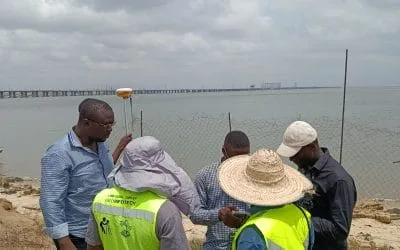
COMPREHENSIVE OFFSHORE SURVEILLANCE AND MARITIME INFRASTRUCTURE MONITORING

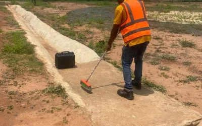
Comprehensive Aerial Survey and Mapping for Golf Course Asset Management at Lakowe Golf Lake
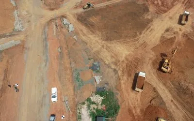
Advanced Aerial Topographic Survey and Mapping for Land Development in Ogun State
Precision RGB and Thermal Imaging Revolutionizes Solar Infrastructure Inspection In Enugu
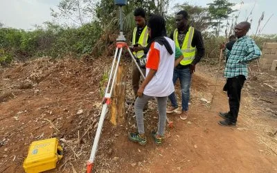
Advanced Drone-Based Topographic Survey for Precision Land Development Planning
Precision Topographical Survey and Mapping for Smarter Infrastructure Planning