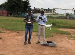
Geoinfotech Professional Training Drone was conducted recently in Lagos, Nigeria
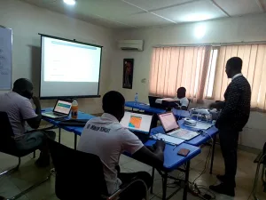
The training was set to offer 2 weeks of the professional course on Drone mapping to the general public who are into the use of geospatial technology or hoping to leverage GIS and Drone mapping into their work operations.
Our professional trainers and equipped facilities helped enhanced knowledge on Drone, this is why we have designed the tailored Drone workshop to support individuals and organization on how GIS/Drone technology can be used in their line of work

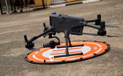
GIS and Drone technologies as it is seen today are built on advance knowledge and practices in location-based research and operations of many industry/ sector such as business, banking, telecommunication, transportation, construction, agriculture, oil and gas, environmental management, just to mention few. This workshop will involve intense practicals easy to understand steps to master data, analytics, software, GIS, drone mapping tools.
 It is every expedient that the right tools and know-how is employed when it comes to researches and operations involving GIS and Drone mapping. Whether you want to improve your skills, increase your earnings, connection/ job opportunities, this training is for you.
Geoinfotech