AERIAL SURVEY AND MAPPING FOR AGRICULTURAL SITE PLANNING: HOW GEOINFOTECH IMPROVED AGRICULTURAL DEVELOPMENT IN ILORA THROUGH DRONE TECHNOLOGY
Geoinfotech conducted a high-precision Aerial Survey and Mapping project for agricultural site planning in Ilora, Oyo State, Nigeria, to support sustainable agriculture, land-use planning, and environmental management. The project, executed in March 2026, involved UAV aerial surveying, terrain analysis, spatial modelling, and the generation of accurate geospatial datasets for effective agricultural development and resource planning.
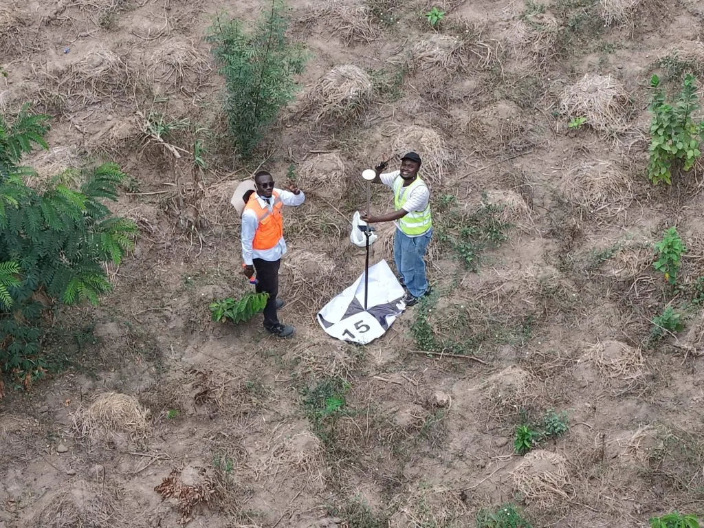
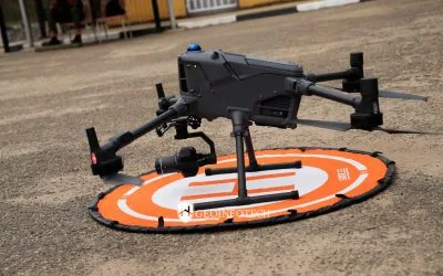
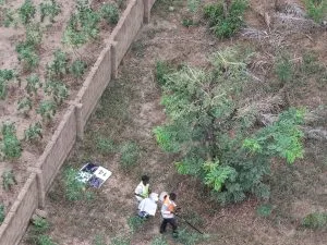
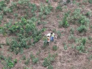
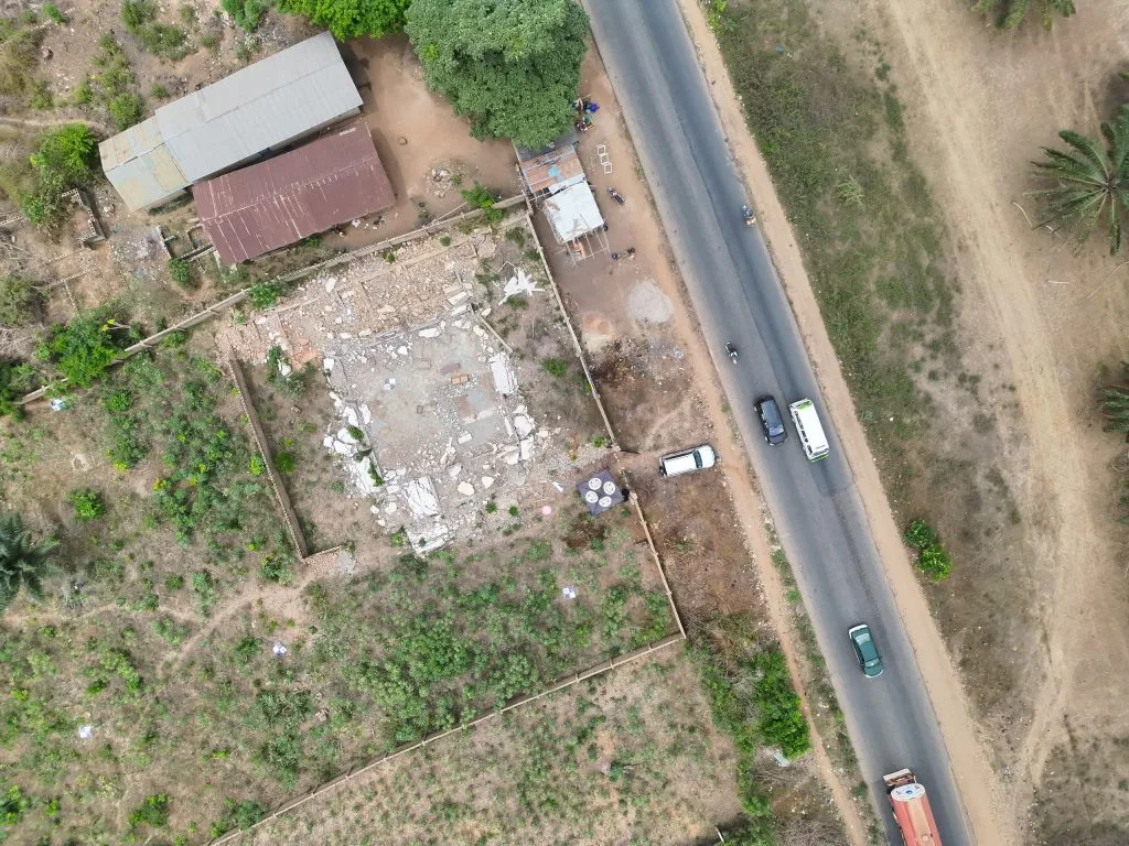
The survey commenced with reconnaissance activities and project planning to establish survey controls and optimize the aerial data acquisition process. Using drone technology and GNSS surveying equipment, high-resolution aerial imagery and accurate coordinate datasets were acquired across the surveyed agricultural environment to ensure precise terrain representation and land assessment.
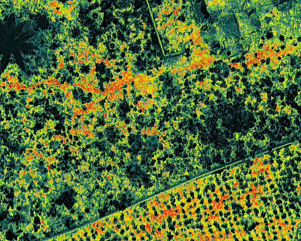
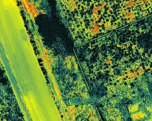
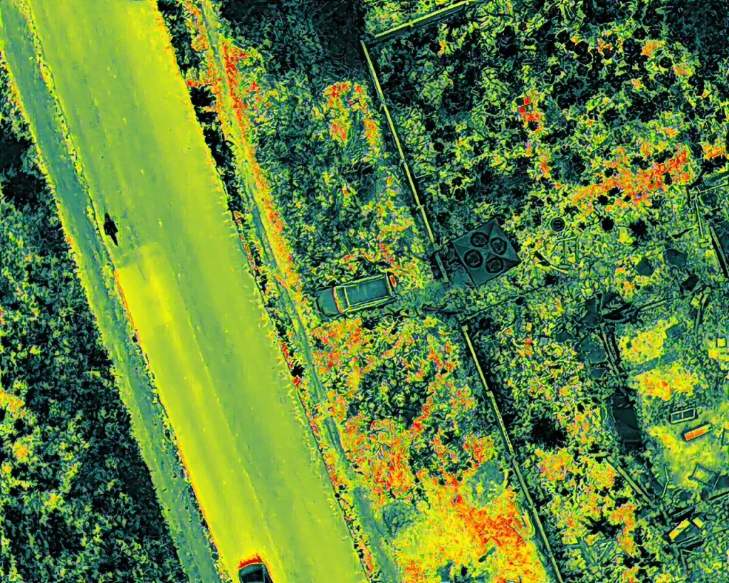
The acquired datasets were processed using advanced photogrammetric and GIS software to generate orthophotos, Digital Elevation Models (DEM), contour maps, slope maps, flow direction models, and flow accumulation datasets. These outputs provided detailed insights into terrain conditions, drainage behaviour, soil suitability, and topographic variability required for agricultural planning and infrastructure development.
Field activities included drone deployment, GNSS control establishment, aerial data capture, and site validation, while office-based operations focused on data processing, terrain interpretation, cartographic production, hydrological modelling, and quality control. Deliverables included orthophotos, contour datasets, digital elevation models, flow analysis maps, and technical reports to support agricultural and development decision-making.
By integrating drone surveying and modern geospatial methodologies, the project significantly improved the efficiency, speed, and accuracy of agricultural terrain mapping compared to traditional surveying methods, reducing planning uncertainties and supporting informed land management decisions.
This project has enabled stakeholders to better understand the environmental and topographic characteristics of the Ilora agricultural environment, supporting improved crop planning, drainage assessment, land allocation, and infrastructure development. Geoinfotech continues to provide innovative geospatial solutions that improve agricultural productivity, environmental sustainability, and data-driven planning across development projects.
For future agricultural assessments, regular drone-based terrain monitoring and geospatial analysis are recommended to maintain updated spatial information, improve land-use planning, and support sustainable agricultural development and environmental management practices.
Looking Forward: Transforming Agricultural Development Through Geospatial Innovation
The successful implementation of UAV-based aerial surveying and mapping in Ilora demonstrates how advanced geospatial technologies are transforming modern agriculture and land management. As agricultural activities continue to expand and climate-related challenges increase, the need for accurate spatial intelligence and terrain analysis becomes increasingly important for sustainable agricultural development and efficient resource management.
Geoinfotech remains committed to delivering cutting-edge surveying and mapping solutions that empower organizations, farmers, and developers to make informed decisions with confidence. Through the integration of drone technology, GIS analysis, and precision surveying methodologies, agricultural stakeholders can improve planning accuracy, optimize resource utilization, reduce operational risks, and transform geospatial data into a strategic advantage for sustainable growth and development.
HotIron
HotIron
HotIron