
[Beginners to Advanced Class] Geographic Information System (ArcGIS Desktop and ArcGIS Pro)
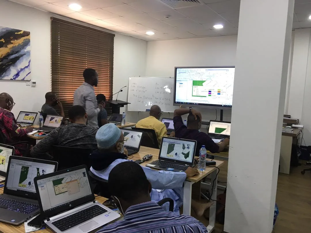
[Advanced Class] Geographic Information System (ArcGIS Desktop and ArcGIS Pro)
5.0 ![]() (100% Practical) ▪ Exam & Certificate
(100% Practical) ▪ Exam & Certificate


What's Included in this Course
Free Software and Apps
Hands on Practical and Field Experience
Manual, Jotter and Biro
Test, Assessment and Exam
Certificate of Completion
Course Description:
The GIS Advanced Training program is designed for professionals looking to deepen their knowledge and skills in Geographic Information Systems (GIS). This comprehensive course covers advanced topics such as spatial analysis, geoprocessing, 3D modeling, and data visualization techniques.
Participants will learn:
- Real-world simulations: Apply GIS principles and ArcGIS techniques for decision-making.
- how to work with complex datasets
- automate workflows using scripting languages like Python, and
- apply GIS technology to solve real-world problems in various sectors, including urban planning, environmental management, and transportation.
- By the end of the training, attendees will have a strong command of advanced GIS tools and methodologies, enabling them to make more informed decisions based on spatial data analysis.
Our Certificate is Recognized by Top Industries

Certificate of completion
![]() Advance GIS Mastering and Completion
Advance GIS Mastering and Completion
![]() Increased job opportunities and career prospects
Increased job opportunities and career prospects
![]() Higher client confidence and trust
Higher client confidence and trust
Courses Modules
1. Fundamentals and Principles
B. GIS Components and Functions
C. What to do with GIS
D. Organising Spatial Data
E. GIS Map Scale
F. Representing Spatial Features in GIS
G. GIS Data Components and Behavior
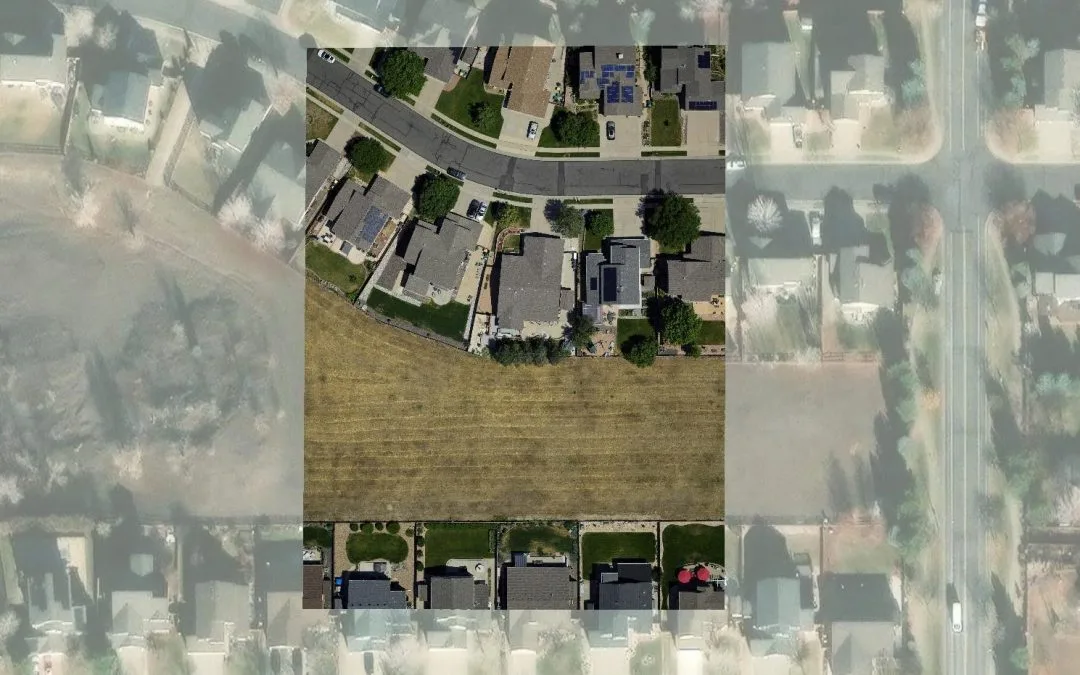
2. GIS DATA MODEL
B. Raster data model
C. Vector data model
D. Triangulated Network Model(TIN)
E. Digital Elevation Model (DEM)
F. Network models
3. BASIC OPERATIONS WITH RASTER DATA MODELS
B. Converting files from vector to raster, and vice versa
C. Converting vector files to TIN
D. Converting TIN to Raster formats
E. Exporting files to KML (Google Earth) and CAD
F. Creating Digital Elevation Models from vector data, ASCII, and TIN files.
G. Extracting information from raster files: query and extraction
H. 3D DATA DISPLAY
I. Converting vector files from 2D to 3D
J. Vector and raster layers display in 3D
4. GEODATABASE MANAGEMENT SYSTEM AND SQL
B. Examples of a Database
C. Spatial database operation Example
D. SQL
E. Database management System
F. Database Systems
G. Data, Hardware, Software, Users
H. Reasons for using Database
I. Database models and modeling
J. Database Design Phases
K. Characteristics of a good database design
5. TOPOLOGY
B. Topology considerations.
C. Cluster tolerance.
D. Most common rules in topology
E. Validating a topology, Topology errors
F. Management of errors.
H. Practical exercise: (error management and massive correction) and assessment
6. ADVANCED SYMBOLOGY AND PRESENTATION IN ARCGIS
B. Multi-attribute symbology
C. Chart (Pie, Bar, stacked)
D. Quantities and categories
E. Data classification
F. Advance map labeling
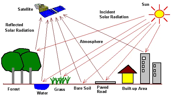
7. GEOSPATIAL ANALYSIS
B. Hydrology Analysis
C. Surface Analysis
D. Other Common Geoprocessing analysis
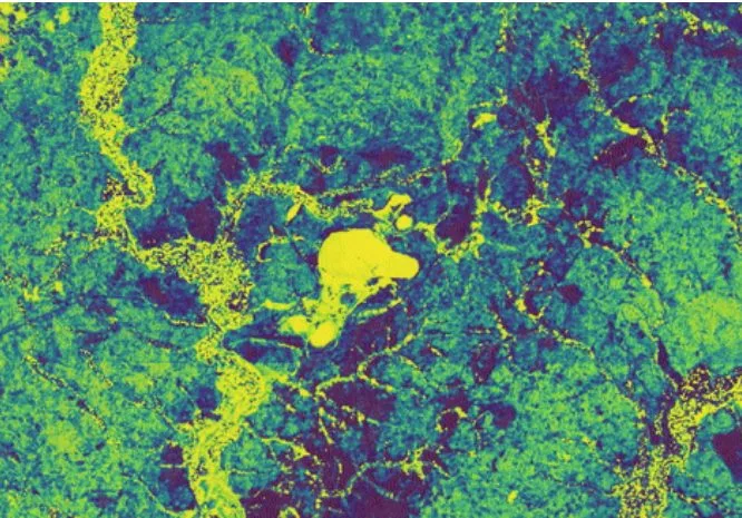
8. SPATIAL DISTRIBUTION PATTERN ANALYSIS
B. Density map
C. Spatial autocorrelation and Incident analysis
D. Optimized hotspot analysis
9. PYTHON APPLICATION & MODEL BUILDER
B. Linking geoprocessing models using Model Builder.
C. Creating custom tools using ArcToolBox
10. Geoinfotech Online Test
11. Award Of Certificate
Share this course
Related Courses

Weekend Class Training
The flexible weekend class allows working professionals and students to upskill efficiently while gaining immediately applicable knowledge for careers in surveying, agriculture, real estate, construction, environmental management, and related fields. [ninja_form...

The Real Estate Goldmine: Identifying Prime Investment Areas with Geospatial Intelligence
In today's fast-paced and competitive real estate market, identifying the right investment opportunities requires more than intuition, it requires the power of location intelligence. Discover how Geographic Information Systems (GIS), satellite imagery, demographic...

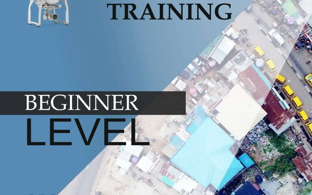
Drone Pilot for Beginners
Professional 3 Weekends ▪ Field Experience 5.0 (100% Practical) ▪ Exam & Certificate


The course AutoCAD for Land Surveying provides participants with practical skills for applying AutoCAD in survey analysis and plotting. Learners will gain hands-on experience in setting up and using AutoCAD software for survey data analysis, precise plotting, accurate...

Professional Drone Training Exam
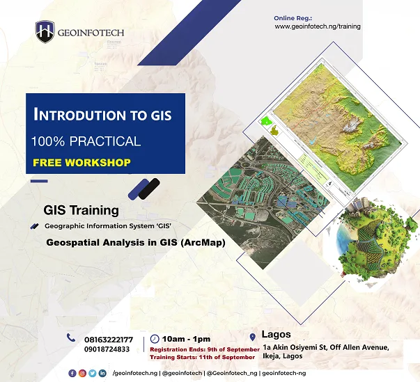
2021 Workshop: Geospatial Analysis in GIS (ArcMap) for Fire Services in Lagos
2021 Workshop on Geospatial Analysis in GIS (ArcMap) for Fire Services in Lagos This analysis helps us on why, where and how many fire services needed to be deployed in Lagos Nigeria. Multicriterial Analysis AHP | Suitability Analysis in GIS Click Here to...
UAV Drone Foundation Exam
Take the drone skills to new heights and train with the Experts at Geoinfotech. Advance your career in Drone Surveying, Photography, 3D Mapping. The next-gen digital learning solution In your own time, learn at your own pace–without taking any time off work....
![[Beginners to Advanced] Geographic Information System (ArcGIS Desktop and ArcGIS Pro)](https://geoinfotech.ng/wp-content/uploads/2020/07/GIS-Online-Training-Geoinfotech-1-1080x675.jpeg.webp)
[Beginners to Advanced] Geographic Information System (ArcGIS Desktop and ArcGIS Pro)
Do you want to learn GIS as a professional with a proper guide online and procedures on executing GIS Projects/Tasks? This introductory course is for you. We have Introduced a step-by-step template, software installation, free data and manual to help you learn and...