
Real-Time UAV Surveillance and Geospatial Technology in Nigeria
Security challenges, infrastructure monitoring, environmental changes and the need for better decision-making have increased the importance of technology in Nigeria. Organizations across different sectors need reliable information to understand what is happening on the ground, identify potential risks and respond appropriately.
One technology combination attracting attention is real-time Unmanned Aerial Vehicle (UAV) surveillance and geospatial technology.
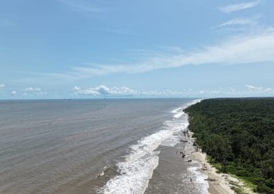
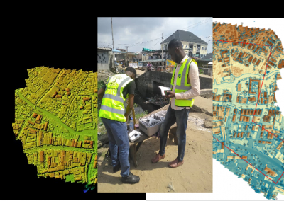
UAVs, commonly known as drones, can collect aerial imagery and other location-based information. When combined with Geographic Information Systems (GIS), remote sensing and spatial analytics, the collected information can provide valuable insights into activities and conditions across different locations.
For Nigeria, this combination offers potential applications in national security, critical infrastructure protection, agriculture, environmental monitoring, urban development and emergency response.
As organizations explore more effective ways to monitor assets and understand changing conditions, real-time UAV surveillance and geospatial technology are becoming important areas of innovation.
What Is Real-Time UAV Surveillance?
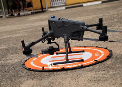
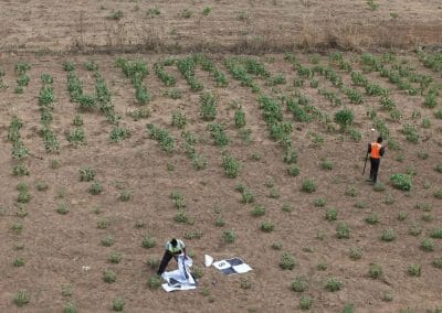
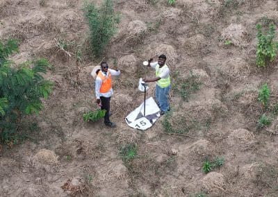
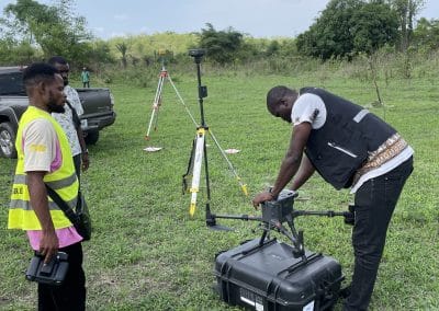
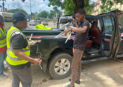
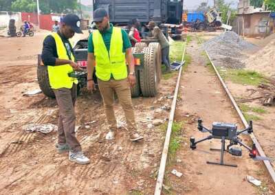
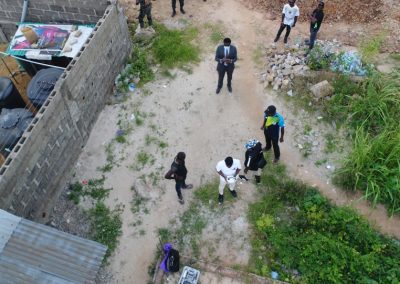
Real-time UAV surveillance involves using unmanned aerial vehicles equipped with cameras or specialized sensors to observe, monitor and collect information about selected locations.
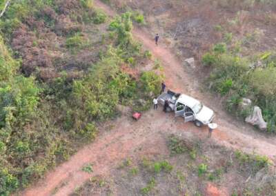
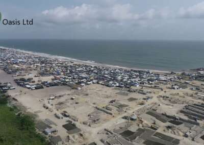
Unlike conventional ground-based monitoring, drones can provide aerial views of areas that may be difficult, expensive or time-consuming to inspect from the ground.
Depending on the drone platform, equipment, communication system and operating conditions, captured information can be transmitted to authorized personnel for monitoring and analysis.
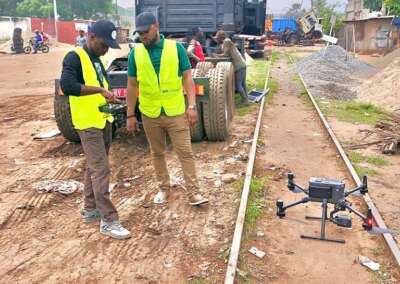
For example, a drone operating over an infrastructure site may capture aerial imagery that allows an inspection team to observe visible changes, identify areas requiring further investigation and document site conditions.
Real-time monitoring can be particularly useful when information needs to be collected frequently or when conditions are changing.
However, not every drone operation provides uninterrupted live video or instant analytical results. Performance depends on factors such as connectivity, weather, equipment capabilities, operating permissions and the processing system being used.
What Is Geospatial Technology?
Geospatial technology refers to the tools and methods used to collect, manage, analyze and visualize information connected to geographic locations.
It helps organizations understand where things are happening, how different locations relate to one another and how geographic conditions change over time.
Some important geospatial technologies include:
Geographic Information Systems (GIS): GIS allows users to organize, analyze and visualize geographic information through digital maps and spatial datasets.
Remote Sensing: Remote sensing involves collecting information about the Earth’s surface using satellites, aircraft and other sensors without direct physical contact.
Satellite Imagery: Satellite images provide observations of large geographic areas and can support land-use monitoring, environmental assessment and infrastructure planning.
Spatial Analytics: Spatial analysis examines geographic relationships, patterns and distributions to generate useful information for decision-making.
Geospatial Intelligence: Geospatial intelligence involves analyzing location-based information and imagery to understand situations, identify patterns and support decisions.
When combined with UAV technology, these tools help transform aerial observations into geographic information that can be analyzed and used by organizations.
How UAV Surveillance and Geospatial Technology Work Together
Drone surveillance and geospatial technology serve different but complementary purposes.
A UAV collects information from the air, while geospatial systems provide the tools to organize, process, analyze and interpret that information.
The workflow generally involves the following stages:
1. Data Collection Through UAVs
The process begins with a drone equipped with a suitable camera or sensor.
Depending on the purpose of the operation, the UAV may collect aerial photographs, video, thermal imagery or other sensor data.
For example, a drone used for infrastructure inspection may capture images of a pipeline corridor, construction site or power facility.
2. Data Transmission and Processing
The collected information may be transmitted to a ground control station or another authorized system.
Some drone platforms support live video transmission, while others store information for processing after the flight.
The information may then be organized, processed and prepared for analysis.
3. Geospatial Data Integration
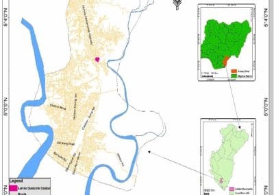
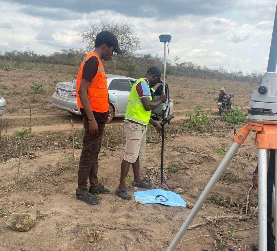
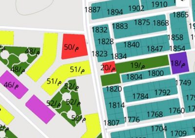
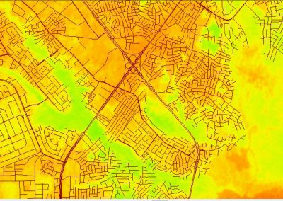
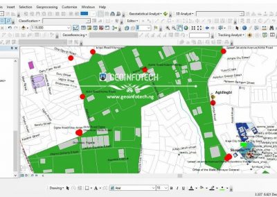
The collected UAV data can be integrated into GIS software alongside other geographic datasets.
These may include:
- Administrative boundaries.
- Road networks.
- Rivers and drainage systems.
- Infrastructure locations.
- Land-use and land-cover data.
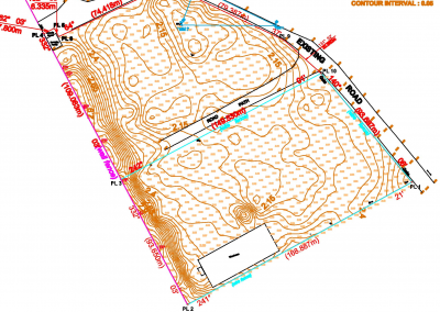
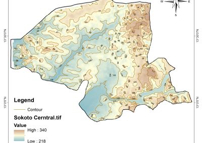
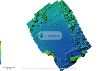
- Digital elevation models.
- Previously collected aerial imagery.
Combining these datasets provides additional geographic context for interpreting the drone information.
4. Spatial Analysis and Interpretation
GIS and spatial analysis tools can help users examine the collected information.
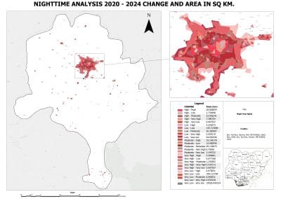
For example, analysts may compare recent drone imagery with previous imagery to identify visible changes around an infrastructure site.
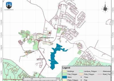
They can also measure distances, map affected areas, identify nearby features and produce maps that communicate findings.
5. Reporting and Decision-Making
The final stage involves presenting the findings to the relevant decision-makers.
Information can be communicated through digital maps, reports, dashboards and other visual products.
The goal is to help authorized users understand the situation and determine whether further inspection, investigation or intervention is necessary.
Applications of Real-Time UAV Surveillance and Geospatial Technology in Nigeria
The combination of UAV surveillance and geospatial technology has potential applications across several sectors in Nigeria.
1. National Security and Surveillance
National security is one of the major areas where UAV surveillance and geospatial technology can contribute.
Drones can collect aerial information over selected locations, while GIS allows analysts to organize and interpret the information geographically.
Potential applications include:
- Monitoring selected areas and infrastructure.
- Supporting situational awareness.
- Mapping locations associated with reported incidents.
- Assessing changes around sensitive facilities.
- Supporting emergency and security planning.
When combined with verified information from authorized sources, geospatial analysis can help security organizations understand geographic patterns and support operational decisions.
The technology should complement established intelligence processes and professional judgement rather than replace them.
2. Oil and Gas Pipeline Monitoring
Nigeria’s oil and gas industry depends on extensive infrastructure that requires inspection and monitoring.
UAVs can support aerial inspections of pipeline corridors, facilities and surrounding environments.
Drone imagery can help inspection teams document visible changes, identify areas requiring ground investigation and assess conditions along infrastructure routes.
When integrated with GIS, the information can be linked to pipeline locations, access roads, settlements, waterways and environmental features.
This can support:
- Pipeline corridor mapping.
- Inspection documentation.
- Monitoring of visible land-use changes.
- Environmental assessment.
- Infrastructure maintenance planning.
For oil and gas operators, combining UAV data and geospatial analysis can improve how inspection information is documented and communicated.
3. Power and Critical Infrastructure Monitoring
Power facilities, transmission corridors, telecommunications infrastructure and transportation networks require regular assessment.
Drone technology can help inspection teams collect aerial imagery of selected assets.
Geospatial systems can then help organize the collected information according to asset location and inspection history.
This may support maintenance planning, asset documentation and the identification of locations requiring additional assessment.
4. Environmental Monitoring
Nigeria faces environmental challenges such as flooding, erosion, deforestation, land degradation and changes in land use.
UAV imagery and geospatial analysis can help environmental professionals observe and document these changes.
For example, repeated drone surveys can capture imagery of an erosion site over different periods. GIS can then be used to compare the imagery and assess visible changes in the affected area.
Potential applications include:
- Monitoring erosion sites.
- Assessing vegetation changes.
- Mapping flood-affected areas.
- Monitoring land-use changes.
- Supporting environmental impact assessments.
- Documenting conditions around industrial facilities.
These applications can provide useful information for environmental management and planning.
5. Agriculture and Farmland Monitoring
Agriculture is another sector where UAV surveillance and geospatial technology can provide practical benefits.
Drones equipped with suitable cameras and sensors can collect information about farmland and crop conditions.
When the data is processed and analyzed, it can support agricultural monitoring and farm-management decisions.
Potential applications include:
- Farmland boundary mapping.
- Crop-condition assessment.
- Monitoring vegetation health.
- Identifying areas requiring field inspection.
- Supporting irrigation planning.
- Mapping agricultural infrastructure.
Farmers and agricultural organizations can use these insights to improve their understanding of field conditions and plan appropriate interventions.
6. Urban Development and Infrastructure Planning
As Nigerian cities continue to expand, urban planners need reliable information about buildings, roads, drainage systems and land-use patterns.
UAV surveys can provide detailed aerial imagery of selected urban areas.
GIS can combine this imagery with existing geographic datasets to support urban analysis.
Applications include:
- Mapping buildings and road networks.
- Monitoring urban expansion.
- Assessing land-use changes.
- Supporting drainage studies.
- Documenting construction activities.
- Mapping infrastructure development.
This information can help planning professionals understand development patterns and identify areas requiring further assessment.
7. Disaster Management and Emergency Response
During floods, fires and other emergencies, timely geographic information can help response organizations understand affected locations.
Drones can collect aerial imagery of affected areas, while GIS can help combine the information with road networks, settlements, drainage systems and other relevant datasets.
This can support damage assessment, response planning and the identification of locations requiring assistance.
The speed and usefulness of the information depend on operational access, data transmission, weather conditions and the availability of suitable processing systems.
Benefits of Combining UAV Surveillance with Geospatial Technology
Using UAVs alongside geospatial systems offers several potential benefits.
Better geographic awareness: Aerial imagery combined with GIS helps organizations understand the location and surrounding context of observed activities or conditions.
Improved monitoring: Repeated drone surveys can help document changes over time.
More detailed data collection: Suitable drone sensors can provide high-resolution information for selected areas.
Improved inspection planning: Geographic analysis can help identify locations that require additional attention.
Better visual communication: Maps, dashboards and aerial imagery can make technical information easier to understand.
Support for informed decisions: When data is accurate and properly analyzed, it can help organizations assess situations and evaluate possible actions.
These benefits depend on suitable equipment, reliable data, trained personnel and appropriate operational procedures.
Challenges of Implementing UAV Surveillance in Nigeria
Despite its potential, implementing real-time UAV surveillance and geospatial technology comes with challenges.
Regulatory Requirements
Drone operations must comply with applicable aviation regulations and permissions in Nigeria.
Organizations need to understand the requirements for operating UAVs, including relevant approvals, operational restrictions and safety procedures.
Data Connectivity
Real-time transmission depends on reliable communication links.
In locations with limited network coverage or difficult operating conditions, transmitting live imagery may be challenging.
Equipment and Operational Costs
UAV platforms, sensors, software, maintenance and trained operators require investment.
Organizations must select equipment and systems based on their operational requirements and available resources.
Technical Skills
Effective implementation requires professionals with knowledge of drone operations, GIS, remote sensing, image processing and spatial analysis.
Training and capacity development are important for building sustainable technical capabilities.
Data Security and Privacy
Aerial imagery and geographic information may contain sensitive details about people, properties and infrastructure.
Organizations must establish appropriate data protection, access control and storage procedures.
Weather and Environmental Conditions
Rain, wind, poor visibility and other environmental conditions can affect drone operations and data collection.
Operational planning must account for these limitations.
The Future of UAV Surveillance and Geospatial Technology in Nigeria
The future of UAV surveillance and geospatial technology in Nigeria will depend on how effectively organizations combine equipment, data, technical expertise and practical applications.
Several developments offer opportunities for growth.
Artificial Intelligence and GeoAI: AI-powered systems can support image classification, object detection and change analysis, subject to appropriate validation and human review.
Advanced Drone Sensors: Improvements in camera systems, thermal sensors and LiDAR technology can expand the types of information collected through UAV surveys.
Integrated Monitoring Platforms: Combining drone information, GIS databases and other authorized data sources can help organizations build more connected monitoring systems.
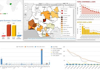
Real-Time Geospatial Dashboards: Suitable systems can display updated geographic information and support situational awareness for authorized users.
Industry Collaboration: Partnerships between technology providers, government institutions, universities and businesses can encourage innovation and develop local technical capacity.
For Nigeria to benefit from these developments, investment must be accompanied by skills development, responsible technology adoption and effective data management.
Geoinnovation Summit 3.0: Exploring the Future of UAV Surveillance and Geospatial Technology
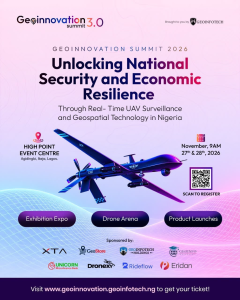
The growing importance of UAV surveillance and geospatial intelligence is central to the theme of Geoinnovation Summit 3.0, organized by Geoinfotech.
The summit will take place on November 27th–28th, 2026, at High Point Event Centre, Agidingbi, Ikeja, Lagos, Nigeria.
Its official theme is:
“Unlocking National Security and Economic Resilience Through Real-Time UAV Surveillance and Geospatial Technology in Nigeria.”
The theme reflects the need to explore how aerial data collection, geospatial intelligence and emerging technologies can support national security and economic development.
The advertised program includes:
- Keynotes, panel discussions and technical sessions.
- Hands-on masterclasses and a dedicated GeoAI track.
- Product launches and live demonstrations.
- An exhibition expo featuring more than 50 exhibitors and partners.
- Drone Speed & Precision Challenge.
- Geoinnovation GIS Challenge.
- Inter-Institutional GIS Challenge.
- Business connections, B2B meetings and networking opportunities.
The event is relevant to GIS professionals, drone pilots, security experts, government representatives, engineers, technology developers, business leaders, students and researchers.
It provides a platform to explore emerging technologies, exchange knowledge and connect with organizations working across the geospatial ecosystem.
Geoinnovation Summit 2026 Event Details
Event: Geoinnovation Summit 3.0
Dates: November 27th–28th, 2026
Time: 9:00 AM
Venue: High Point Event Centre, Agidingbi, Ikeja, Lagos.
Organizer: Geoinfotech.
Official website: https://geoinnovation.geoinfotech.ng/
Visit the official website to explore event information and check current ticket availability.
Conclusion
Real-time UAV surveillance and geospatial technology offer important opportunities for Nigeria across national security, infrastructure monitoring, agriculture, environmental management and urban development.
Drones provide aerial information, while GIS, remote sensing and spatial analytics help organizations process and interpret that information in its geographic context.
When implemented responsibly, these technologies can improve monitoring, support inspections and provide useful insights for decision-makers.
However, achieving these benefits requires more than acquiring drones or mapping software. Organizations also need reliable data, skilled professionals, suitable infrastructure, regulatory compliance and responsible information management.
As Nigeria explores new approaches to security and economic development, the combination of UAV surveillance and geospatial technology will remain an important area for innovation and collaboration.
Be part of the conversation at Geoinnovation Summit 3.0.
Join industry leaders, technology experts, researchers and innovators on November 27th–28th, 2026, in Lagos.
Visit the official website to learn more and check ticket registration information: