


How Does UAV Surveillance Help in Securing National Security?
National security remains a major priority for countries around the world. From protecting borders and monitoring critical infrastructure to responding to emergencies and addressing security threats, governments and security agencies need reliable information to make timely decisions.
Traditional surveillance methods remain important, but they can face limitations when monitoring large territories, remote locations and areas that are difficult to access.
This is where Unmanned Aerial Vehicles (UAVs), commonly known as drones, are becoming increasingly valuable.
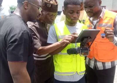
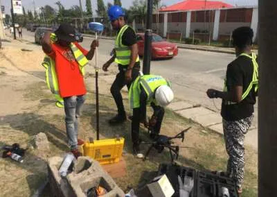
UAV surveillance allows security teams to collect aerial information, monitor locations and observe changing situations without placing personnel directly in every location. When combined with Geographic Information Systems (GIS), satellite imagery and geospatial intelligence, drone technology can provide valuable information for security planning and operations.
But how exactly does UAV surveillance help protect national security?
This article explores its major applications, benefits, challenges and the role of geospatial technology in strengthening security in Nigeria.
What Is UAV Surveillance?
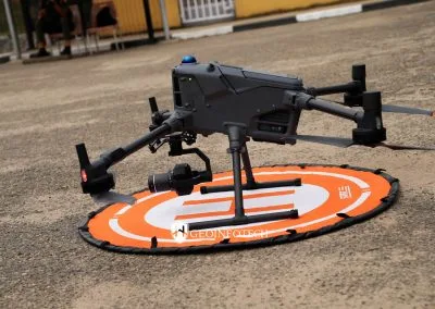
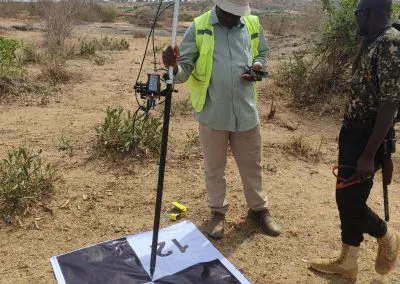
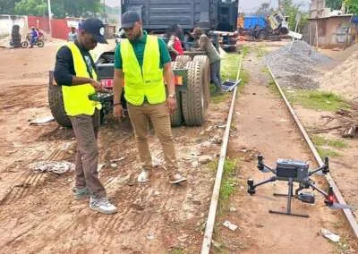
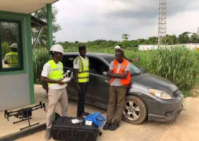
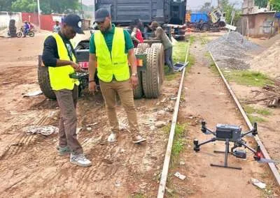
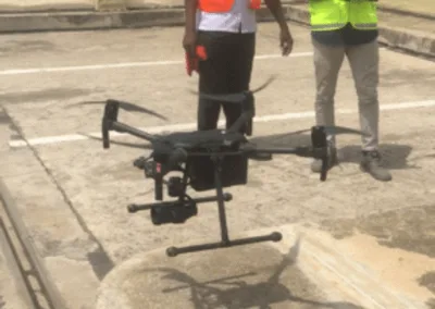
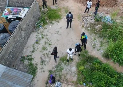
UAV surveillance is the use of unmanned aerial vehicles equipped with cameras, sensors and other data collection technologies to observe, monitor and gather information about specific locations or areas.
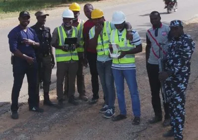
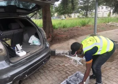
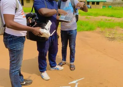
Unlike conventional aircraft, UAVs can operate without an onboard human pilot. Operators can control them remotely or use authorized automated flight systems, depending on the platform and mission.
Depending on their capabilities, surveillance drones can collect different types of information, including:
- High-resolution aerial images.
- Real-time video footage.
- Thermal imagery.
- Geographic coordinates and location data.
- Environmental and infrastructure information.
- Data for mapping and spatial analysis.
This information can help security personnel understand what is happening in an area and assess situations that may require attention.
When drone data is integrated with GIS and other intelligence systems, it becomes more useful for identifying patterns, monitoring changes and supporting informed decisions.
7 Ways UAV Surveillance Helps Secure National Security
UAV surveillance offers several applications that can strengthen security operations. Here are seven important ways the technology contributes to national security.
1. Border Surveillance and Monitoring
Monitoring national borders can be challenging, particularly where territories cover large geographical areas or include difficult terrain.
Traditional patrols and ground-based monitoring may not always provide continuous visibility across extensive border regions.
UAV surveillance can complement these methods by providing aerial observation and helping authorized security agencies monitor selected areas.
Drones equipped with suitable cameras and sensors can collect information about border environments and help identify changes that require further investigation.
When integrated with geospatial intelligence, the collected information can also support border mapping, monitoring and security planning.
This can help agencies improve their understanding of border conditions and allocate surveillance resources more effectively.
2. Monitoring Critical Infrastructure
Critical infrastructure includes facilities and assets that support a country’s economy, public services and essential operations.
Examples include:
- Oil and gas pipelines.
- Power stations and electricity transmission infrastructure.
- Airports and seaports.
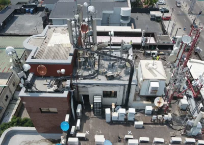
- Communication infrastructure.
- Roads, bridges and transportation networks.
- Water supply facilities.
Damage, vandalism, unauthorized access and other disruptions can affect essential services and economic activities.
UAV surveillance can help security and infrastructure teams inspect large facilities, monitor selected locations and collect aerial information about their condition.
For example, drone technology can support pipeline corridor inspections, identify visible changes along infrastructure routes and provide imagery for further assessment.
This is particularly relevant to Nigeria, where protecting oil and gas infrastructure remains important to economic stability.
3. Intelligence Gathering and Situational Awareness
Security decisions depend on accurate and timely information.
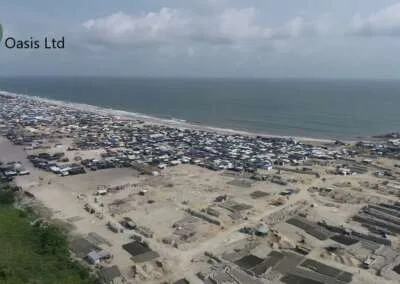
UAVs can provide aerial imagery and video that help authorized personnel understand the conditions in a particular location.
For instance, during a security incident, drone footage may help decision-makers assess the surrounding environment, observe changes and understand the situation before determining an appropriate response.
When combined with other intelligence sources, UAV data can contribute to a more complete operational picture.
This is known as situational awareness: understanding what is happening, where it is happening and how the situation may affect security operations.
However, drone footage should not be treated as complete intelligence on its own. It requires proper interpretation and verification.
4. Emergency Response and Disaster Management
National security also involves protecting lives and responding to emergencies.
Flooding, fires, building collapses, industrial accidents and other disasters can create situations where ground access becomes difficult or unsafe.
UAV surveillance can help emergency response teams obtain aerial information about affected locations.
Depending on the equipment available, drones can support:
- Aerial assessment of affected communities.
- Identification of damaged infrastructure.
- Monitoring of flood-affected areas.
- Assessment of fire-affected locations.
- Search and rescue support.
- Mapping of areas requiring emergency assistance.
The resulting information can help response teams understand the scale of an incident and prioritize resources.
Combining drone imagery with GIS can also support damage assessment and emergency planning.
5. Protection of Public Spaces and Strategic Locations
Public spaces and strategic facilities may require monitoring to support public safety and security.
UAV surveillance can provide aerial observation during selected operations, events and security assessments.
For example, authorized agencies may use drones to support situational awareness around major public gatherings, transportation facilities and other strategic locations.
The imagery can help security teams understand crowd conditions, identify developing incidents and assess areas that may require additional attention.
However, these operations must respect privacy rights, applicable aviation regulations and lawful surveillance requirements.
6. Monitoring Remote and Inaccessible Areas
Some locations are difficult to reach because of terrain, environmental conditions or distance.
These challenges can limit the effectiveness of ground-based monitoring.
UAVs can provide aerial access to selected areas without requiring personnel to enter every location physically.
This can support environmental monitoring, infrastructure inspection, search and rescue and security assessments.
For a country with diverse geographical conditions like Nigeria, the ability to collect aerial information from remote areas can complement existing monitoring capabilities.
7. Supporting Evidence Collection and Security Investigations
Aerial imagery and video can support the documentation of incidents and the assessment of affected locations.
For example, authorized investigators may use drone imagery to document infrastructure damage, map affected areas or record visible environmental changes.
When collected and managed properly, this information can contribute to investigation and reporting processes.
However, imagery must be authenticated, securely stored and handled according to applicable evidence procedures before it can be relied upon in formal investigations.
Why Combine UAV Surveillance with Geospatial Technology?
Drone surveillance becomes more valuable when its data connects with geospatial technology.
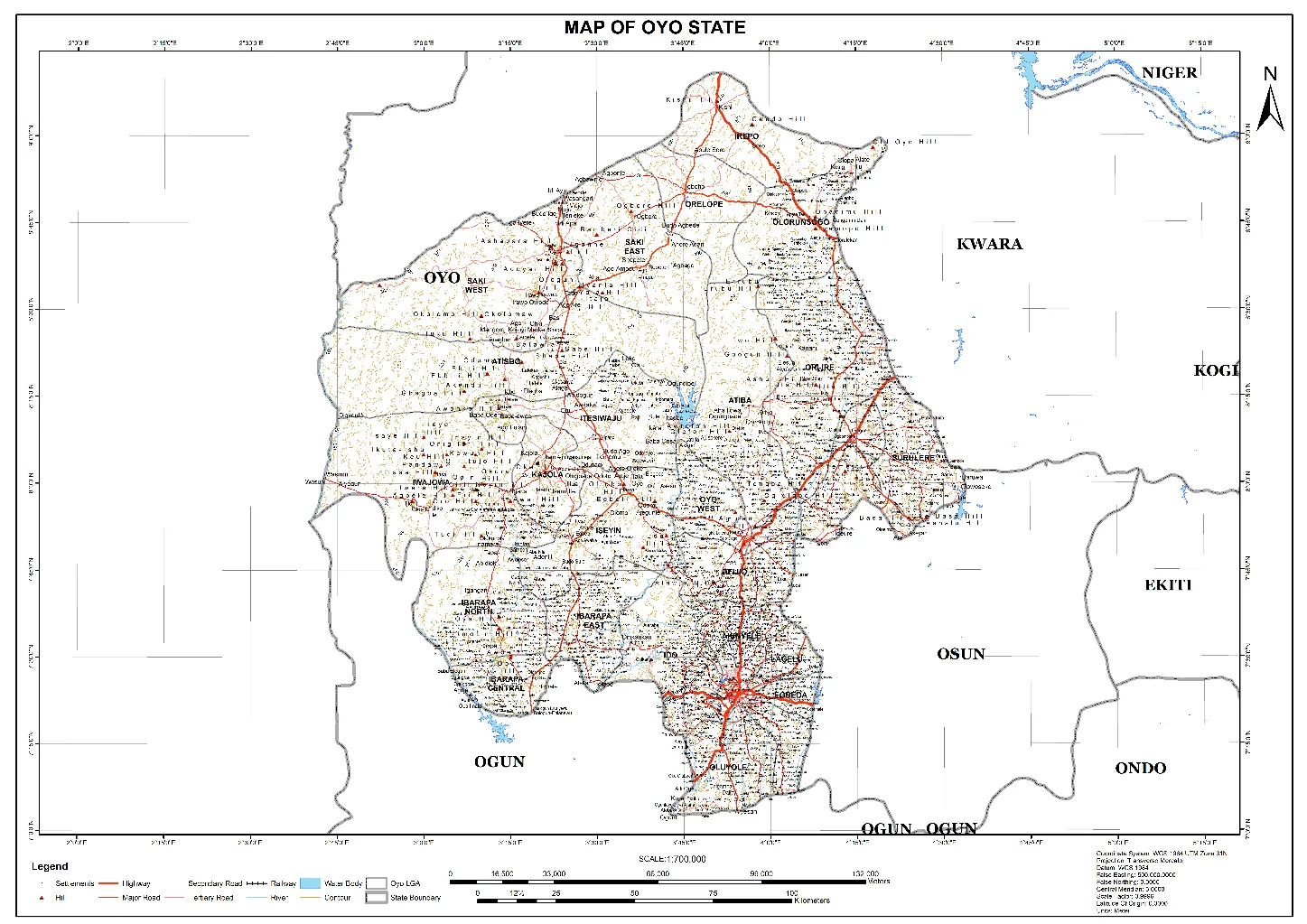
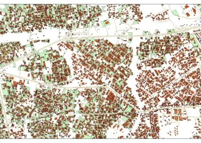
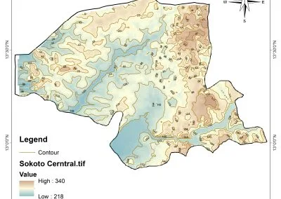
A drone can collect images and video, but GIS helps organize, analyze and interpret information based on location.
This combination allows security teams and decision-makers to move beyond viewing aerial footage towards understanding spatial relationships and changes.
Here is how the technologies work together:
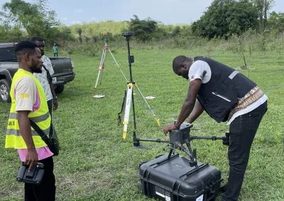
- Data collection: UAVs capture aerial images, video and sensor information from selected locations.
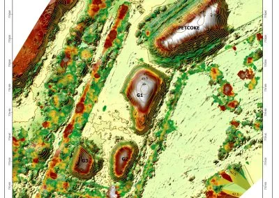
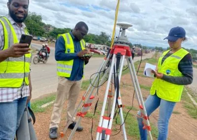
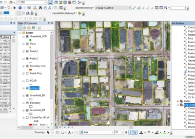
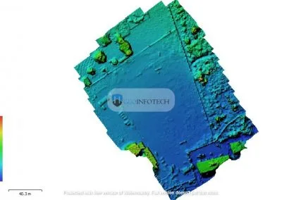
- Data processing: The collected information is processed into usable imagery, maps and other geospatial outputs.
- GIS integration: Drone data is combined with geographic information, infrastructure records, boundaries and other relevant datasets.
- Spatial analysis: Analysts examine locations, identify changes and assess relationships between different features.
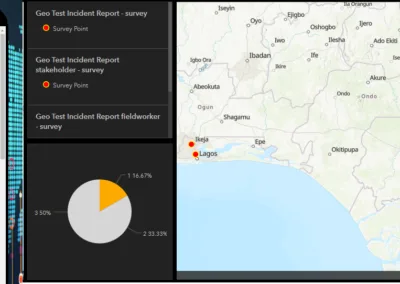
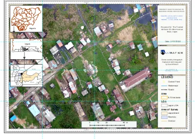
- Visualization and reporting: Information can be presented through maps, dashboards and reports to support decision-making.
This workflow helps transform raw drone data into actionable geospatial information.
It also demonstrates why UAV surveillance and geospatial intelligence should be considered complementary technologies rather than separate solutions.
Benefits of UAV Surveillance for National Security
When properly deployed and integrated into existing security systems, UAV surveillance can provide several benefits.
Improved situational awareness: Aerial imagery helps security teams understand conditions across monitored areas.
Access to difficult locations: Drones can collect information from areas that may be challenging or unsafe for ground personnel to reach.
Faster information collection: UAVs can provide aerial information without always requiring conventional aircraft or extensive ground surveys.
Infrastructure monitoring: Drone inspections can support the monitoring of pipelines, power facilities, transportation networks and other critical assets.
Better emergency assessment: Aerial imagery can help response teams assess affected locations and identify priorities.
Geospatial decision support: Combining UAV data with GIS provides a stronger basis for mapping, analysis and planning.
Reduced exposure to certain operational risks: Remote data collection can reduce the need to place personnel directly in some hazardous environments, although drone operations still require careful risk management.
Challenges of Using UAV Surveillance for National Security
Despite its advantages, UAV surveillance is not without challenges.
Successful implementation requires appropriate equipment, skilled operators, reliable systems and effective regulations.
Some important challenges include:
Regulatory Compliance
Drone operations must comply with applicable aviation laws, permissions and operational requirements.
In Nigeria, organizations must consider the relevant requirements of the Nigerian Civil Aviation Authority (NCAA).
Data Security and Privacy
Surveillance systems collect information that may be sensitive.
Organizations need appropriate controls for data access, storage, transmission and retention. They must also respect applicable privacy and data protection requirements.
Weather and Environmental Conditions
Rain, wind, poor visibility and other environmental conditions can affect drone operations and data quality.
Communication and Connectivity
Some UAV operations depend on reliable communication links. Network limitations and signal interruptions can affect data transmission and operational continuity.
Equipment and Maintenance Costs
Acquiring, maintaining and operating professional UAV systems requires investment in equipment, software, training and technical support.
Skilled Personnel
Effective UAV surveillance requires trained operators, data analysts, GIS professionals and security personnel who understand how to interpret the information collected.
Addressing these challenges is important if organizations want to deploy UAV surveillance responsibly and effectively.
The Future of UAV Surveillance and National Security in Nigeria
The future of national security will increasingly involve the integration of different technologies and information systems.
UAV surveillance, GIS, satellite imagery, artificial intelligence, remote sensing and real-time data platforms can work together to improve how organizations monitor locations and respond to changing conditions.
For Nigeria, these technologies present opportunities across several important areas.
They can support infrastructure protection, border monitoring, environmental security, emergency response and more informed planning.
Artificial intelligence may also help analysts process large volumes of imagery and identify features or changes that require further review.
However, technology alone cannot guarantee national security. Effective implementation requires trained personnel, responsible data management, strong institutions, appropriate regulations and coordination among relevant agencies.
The objective should be to use technology to strengthen existing security capabilities and support better decisions.
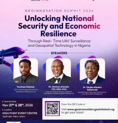
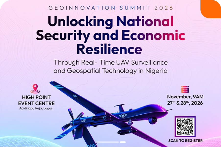
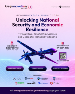
Geoinnovation Summit 3.0: Exploring UAV Surveillance and Geospatial Technology for National Security
As the importance of UAV surveillance and geospatial intelligence continues to grow, conversations about their applications have become increasingly relevant to Nigeria’s national security and economic development.
This is the focus of Geoinnovation Summit 3.0, organized by Geoinfotech.
The summit will take place on November 27th–28th, 2026, at High Point Event Centre, Agidingbi, Ikeja, Lagos, Nigeria.
Its theme is:
“Unlocking National Security and Economic Resilience Through Real-Time UAV Surveillance and Geospatial Technology in Nigeria.”
The event will bring together industry leaders, technology experts, innovators, researchers, professionals and decision-makers to explore how emerging geospatial and UAV technologies can address real-world challenges.
Attendees can expect activities including:
Main-stage discussions: Keynotes, panel discussions and technical sessions involving professionals from defense, government, engineering and industry.
Masterclasses and GeoAI: Practical learning opportunities, including a dedicated GeoAI track.
Product showcases and demonstrations: Opportunities to explore surveillance, mapping and GeoAI solutions.
Exhibition expo: A platform for discovering geospatial technologies, hardware, services and innovative solutions.
Drone Arena: Activities including the Drone Speed and Precision Challenge, Geoinnovation GIS Challenge and Inter-Institutional GIS Challenge.
Business networking: Opportunities to connect with professionals, technology providers, organizations and potential business partners through the Business Connection Zone and B2B meetings.
For security professionals, UAV operators, GIS specialists, engineers, technology developers, government representatives, students and researchers, the summit provides an opportunity to explore the relationship between geospatial innovation and national security.
It also creates a platform for discussing how Nigeria can strengthen its capacity to develop and deploy technology-driven solutions.
Why You Should Attend Geoinnovation Summit 3.0
If you work in security, GIS, remote sensing, drone operations, surveying, engineering or technology development, the summit offers an opportunity to:
- Learn about emerging UAV and geospatial technologies.
- Understand the role of geospatial intelligence in national security.
- Explore drone surveillance and mapping solutions.
- Engage with industry professionals and technology providers.
- Discover practical applications of GeoAI.
- Build relationships with potential collaborators and business partners.
Whether you are a student exploring the industry or an organization looking for technology solutions, the summit provides opportunities to learn and connect.
Event details:
- Event: Geoinnovation Summit 3.0
- Date: November 27th–28th, 2026
- Venue: High Point Event Centre, Agidingbi, Ikeja, Lagos, Nigeria
- Organizer: Geoinfotech
- Official website: https://geoinnovation.geoinfotech.ng/
Visit the official website for event information and current registration details.
Final Thoughts
UAV surveillance is becoming an important component of modern security operations.
By providing aerial imagery, supporting infrastructure monitoring, improving situational awareness and helping assess emergencies, drones can strengthen the information available to security agencies and decision-makers.
When integrated with GIS, remote sensing, satellite imagery and geospatial intelligence, UAV technology can provide even greater value by turning collected data into useful information for planning and response.
For Nigeria, the opportunity lies in developing the skills, systems, partnerships and responsible policies required to apply these technologies effectively.
As the conversation around national security and economic resilience continues, industry collaboration and knowledge sharing will remain important.
Join industry leaders, technology experts, innovators and professionals at Geoinnovation Summit 3.0 on November 27th–28th, 2026, in Lagos.
Explore the future of real-time UAV surveillance and geospatial technology.
Visit https://geoinnovation.geoinfotech.ng/ for more information and current registration details.