
Differential GPS (DGPS) Land Surveying Training

Differential GPS (DGPS) Land Surveying Training
Professional 2 weekends ▪ Field Experience
5.0 ![]() (100% Practical) ▪ Exam & Certificate
(100% Practical) ▪ Exam & Certificate


What's Included in this Course
Free Software and Apps
Hands on Practical and Field Experience
Jotter and Biro
Test, Assessment and Exam
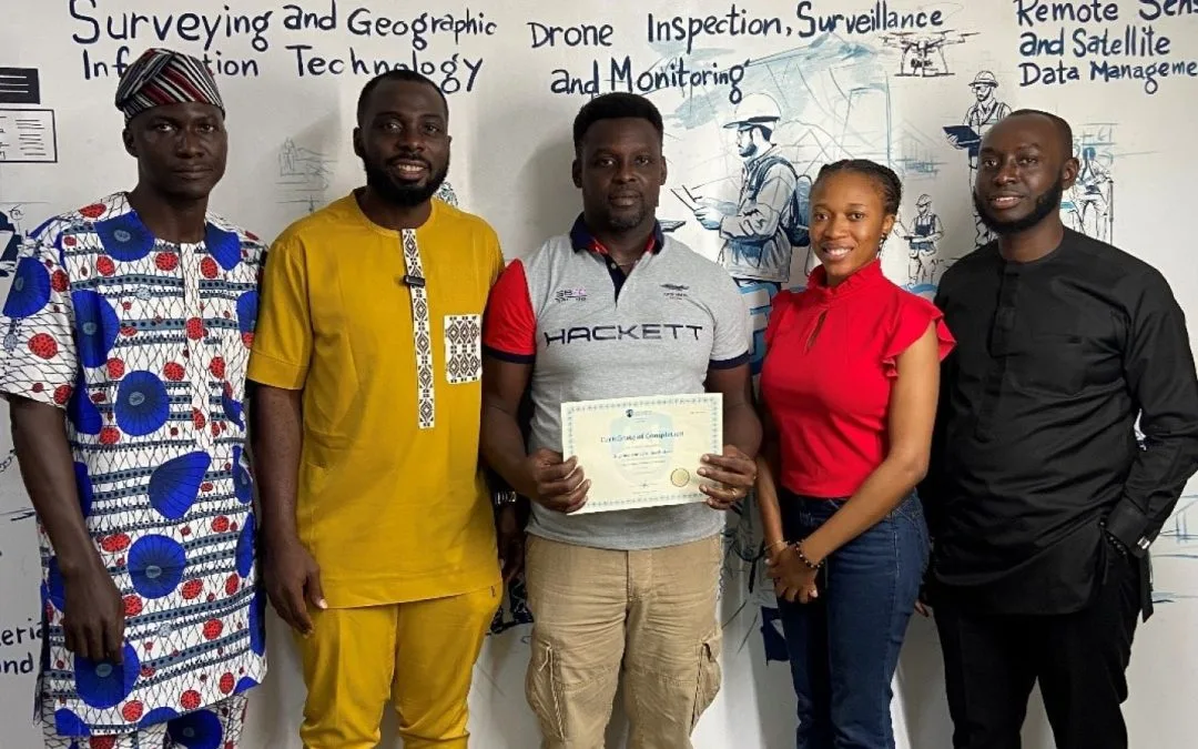
Certificate of Completion
Course Description:
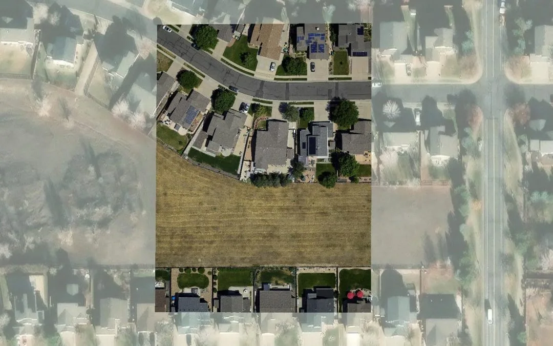
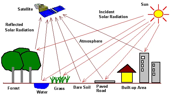
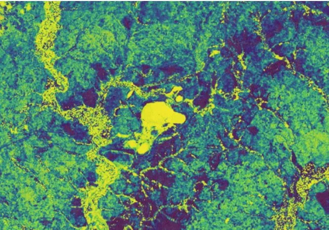
The course “Differential GPS (DGPS) Land Surveying Training” equips participants with valuable skills for applying geospatial technology in agricultural contexts. Participants will learn to utilize Geographic Information Systems (GIS) and remote sensing tools to make informed decisions for crop management, land use planning, and resource allocation.
Course Highlights:
- Differential GPS Concepts
- GNSS Equipment and Setup
- Data Collection Techniques
- Data Processing and Analysis
- Applications In Land Surveying
- GNSS Integration and Emerging Technologies
- Error Analysis and Mitigation
- Project Based Learning
Our Certificate is Recognized by Top Industries

![]()
Certificate of completion
![]() Differential GPS (DGPS) Land Surveying Training Mastering and Completion
Differential GPS (DGPS) Land Surveying Training Mastering and Completion
![]() Increased job opportunities and career prospects
Increased job opportunities and career prospects
![]() Higher client confidence and trust
Higher client confidence and trust
Courses Modules
1. Introduction to DGPS and Equipment Setup
A. Introduction to Differential GPS (DGPS) technology
B. Comparison between GPS and DGPS
C. Benefits and limitations of DGPS in land surveying
D. Overview of DGPS equipment and accessories
E. DGPS receiver selection and setup
F. Antenna selection and mounting considerations
G. Establishing base stations and reference stations
H. Configuring and calibrating DGPS equipment
2. DGPS Field Survey Techniques
A. Understanding satellite constellations and signal characteristics
B. Satellite geometry and its impact on positioning accuracy
C. Planning and organizing a DGPS survey
D. Field procedures for data collection using DGPS
E. Real-time Kinematic (RTK) positioning techniques
F. Post-processing techniques for DGPS data
G. Field verification and quality control procedures
3. DGPS Data Processing and Analysis
A. Introduction to DGPS data processing software
B. Data transfer and management techniques
C. Pre-processing of DGPS data
D. Differential correction techniques
E. Analysis of error sources and error mitigation
F. Generating accurate survey results from DGPS data
G. Case studies and practical exercises
H. Troubleshooting common issues in DGPS surveying
4. GNSS Applications in Land Surveying
A. Boundary surveys and cadastral mapping using DGPS
B. Topographic mapping and terrain modeling
C. Construction layout and site positioning
D. Control network establishment and maintenance
E. Case studies of real-world applications
5. Data Processing and Analysis
A. Introduction to GNSS data processing software
B. Post-processing techniques for improving accuracy
C. Ambiguity resolution and baseline adjustment
D. Quality control and data validation
E. Generating accurate position solutions and reports
6. Geoinfotech Online Test
A. Exam and Assessment
7. Award Of Certificate
A. Certificate
Share this course

Weekend Class Training
The flexible weekend class allows working professionals and students to upskill efficiently while gaining immediately applicable knowledge for careers in surveying, agriculture, real estate, construction, environmental management, and related fields. [ninja_form...

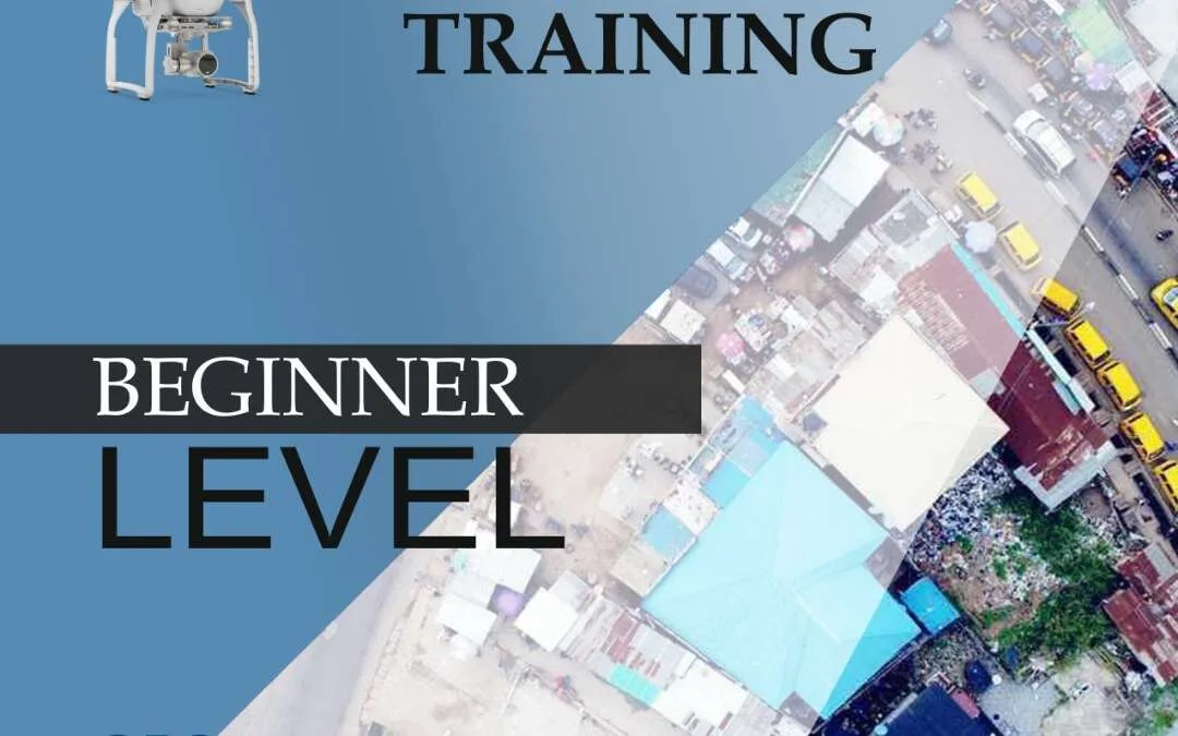
Drone Pilot for Beginners
Professional 3 Weekends ▪ Field Experience 5.0 (100% Practical) ▪ Exam & Certificate


Professional 6-7 Weekends ▪ Field Experience 5.0 (100% Practical) ▪ Exam & Certificate
The course AutoCAD for Land Surveying provides participants with practical skills for applying AutoCAD in survey analysis and plotting. Learners will gain hands-on experience in setting up and using AutoCAD software for survey data analysis, precise plotting, accurate...

Professional Drone Training Exam
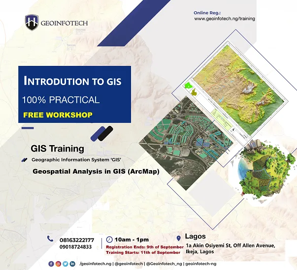
2021 Workshop: Geospatial Analysis in GIS (ArcMap) for Fire Services in Lagos
2021 Workshop on Geospatial Analysis in GIS (ArcMap) for Fire Services in Lagos This analysis helps us on why, where and how many fire services needed to be deployed in Lagos Nigeria. Multicriterial Analysis AHP | Suitability Analysis in GIS Click Here to...
UAV Drone Foundation Exam
Take the drone skills to new heights and train with the Experts at Geoinfotech. Advance your career in Drone Surveying, Photography, 3D Mapping. The next-gen digital learning solution In your own time, learn at your own pace–without taking any time off work....
![[Beginners to Advanced] Geographic Information System (ArcGIS Desktop and ArcGIS Pro)](https://geoinfotech.ng/wp-content/uploads/2020/07/GIS-Online-Training-Geoinfotech-1-1080x675.jpeg.webp)
[Beginners to Advanced] Geographic Information System (ArcGIS Desktop and ArcGIS Pro)
Do you want to learn GIS as a professional with a proper guide online and procedures on executing GIS Projects/Tasks? This introductory course is for you. We have Introduced a step-by-step template, software installation, free data and manual to help you learn and...
![[Beginners to Advanced] AutoCAD for Land Surveying](https://geoinfotech.ng/wp-content/uploads/2025/08/WhatsApp-Image-2025-08-19-at-09.22.28_2dc55c5c-1080x675.jpg.webp)
[Beginners to Advanced] AutoCAD for Land Surveying
The course AutoCAD for Land Surveying provides participants with practical skills for applying AutoCAD in survey analysis and plotting. Learners will gain hands-on experience in setting up and using AutoCAD software for survey data analysis, precise plotting, accurate...
Professional Drone Training Exam
2021 Workshop: Geospatial Analysis in GIS (ArcMap) for Fire Services in Lagos
2021 Workshop on Geospatial Analysis in GIS (ArcMap) for Fire Services in Lagos This analysis helps us on why, where and how many fire services needed to be deployed in Lagos Nigeria. Multicriterial Analysis AHP | Suitability Analysis in GIS Click Here to...
UAV Drone Foundation Exam
Take the drone skills to new heights and train with the Experts at Geoinfotech. Advance your career in Drone Surveying, Photography, 3D Mapping. The next-gen digital learning solution In your own time, learn at your own pace–without taking any time off work....
[Beginners to Advanced] Geographic Information System (ArcGIS Desktop and ArcGIS Pro)
Do you want to learn GIS as a professional with a proper guide online and procedures on executing GIS Projects/Tasks? This introductory course is for you. We have Introduced a step-by-step template, software installation, free data and manual to help you learn and...