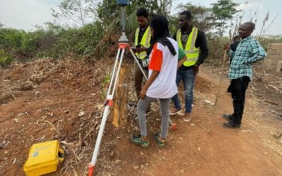

ROUTE TOPO SURVEY AND MAPPING: HOW GEOINFOTECH SUPPORTED THE ENUGU CABLE CAR PROJECT THROUGH ADVANCED GEOSPATIAL SOLUTIONS

BOUNDARY SURVEY AND ENCROACHMENT ANALYSIS: HOW EGBIN POWER PLANT IMPROVED LAND MANAGEMENT THROUGH GEOSPATIAL TECHNOLOGY

DRONE APPLICATION IN AERIAL SURVEY AND MAPPING: HOW GEOINFOTECH ENHANCED AGRICULTURAL SITE PLANNING IN OSEFA THROUGH GEOSPATIAL TECHNOLOGY

COMPREHENSIVE OFFSHORE SURVEILLANCE AND MARITIME INFRASTRUCTURE MONITORING

Comprehensive Aerial Survey and Mapping for Golf Course Asset Management at Lakowe Golf Lake

Professional Drone Training Program for Enhanced Corporate Security Operations at Sahara Group
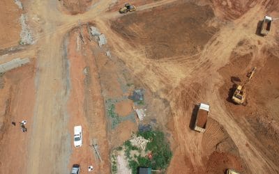
Advanced Aerial Topographic Survey and Mapping for Land Development in Ogun State
Precision RGB and Thermal Imaging Revolutionizes Solar Infrastructure Inspection In Enugu