
Geospatial Intelligence in Nigeria: Applications, Benefits and Future Opportunities
How can technology help Nigeria understand security challenges, protect critical infrastructure, manage natural resources and make better development decisions? One important part of the answer is geospatial intelligence.
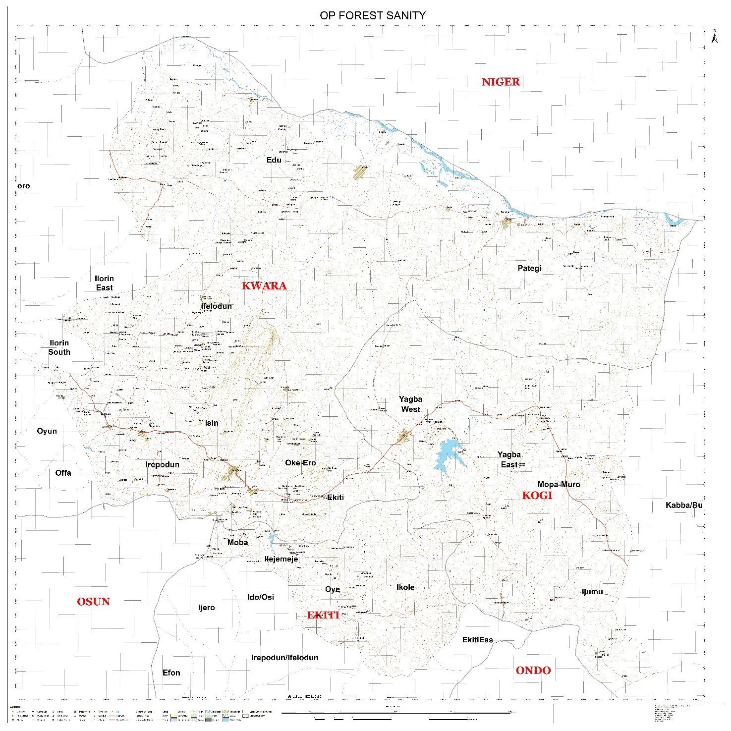
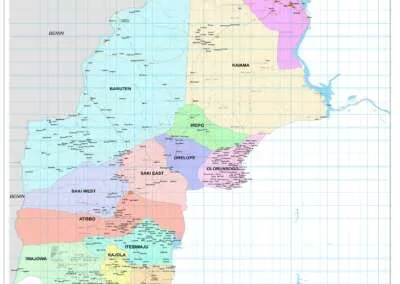
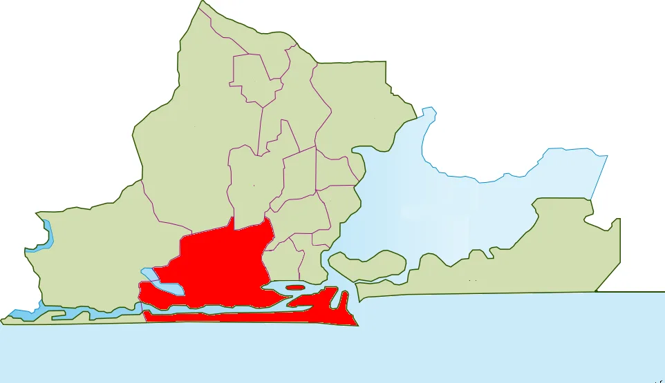
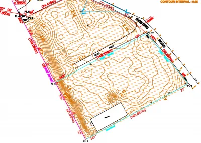
Geospatial intelligence in Nigeria is becoming increasingly relevant to national security, infrastructure management, environmental monitoring and economic development. By combining geographic information with satellite imagery, drone data, mapping technologies and analytical tools, organizations can better understand events in specific locations. Consequently, they can make more informed decisions.
From monitoring infrastructure and analyzing land-use changes to supporting emergency response and urban planning, geospatial intelligence offers opportunities across different sectors of the Nigerian economy.
As interest in real-time information and technology-driven decisions continues to grow, understanding geospatial intelligence becomes increasingly important. Government institutions, businesses, security professionals, researchers and technology innovators can all benefit from its applications.
Furthermore, the subject connects closely with conversations around geospatial technology and UAV surveillance at Geonnovation Summit 3.0. Organized by Geoinfotech, the event will hold in Lagos on November 27th–28th, 2026.
What Is Geospatial Intelligence?
Geospatial intelligence, commonly known as GEOINT, involves collecting, analyzing and interpreting information associated with geographic locations. Its purpose is to generate useful insights that support decision-making.
In practical terms, it helps answer questions such as:
- Where is a particular activity taking place?
- How has an area changed over time?
- Which infrastructure or communities may face a particular risk?
- Where should resources be allocated?
- What does geographic information reveal about a developing situation?
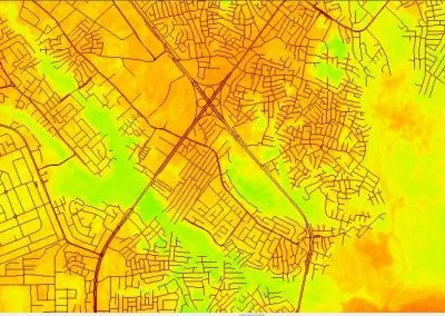
To answer these questions, GEOINT draws on several technologies and data sources. These include Geographic Information Systems (GIS), satellite imagery, remote sensing, aerial photography, drone data and spatial analytics.
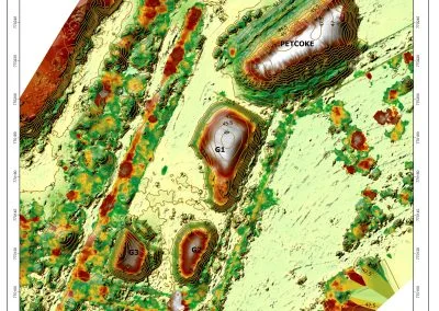
When combined with other relevant information, these sources help analysts identify patterns, monitor changes and communicate findings. Results can be presented through maps, reports, dashboards and other decision-support tools.
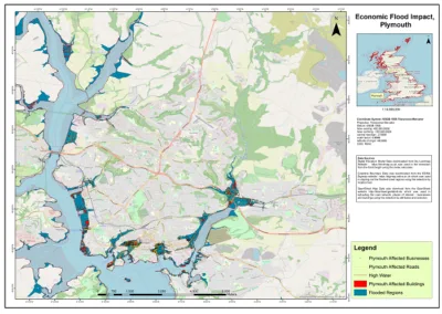
For example, a government agency monitoring flood risks might combine elevation data, rainfall records, drainage networks and settlement locations. This approach can help identify areas that require closer assessment.
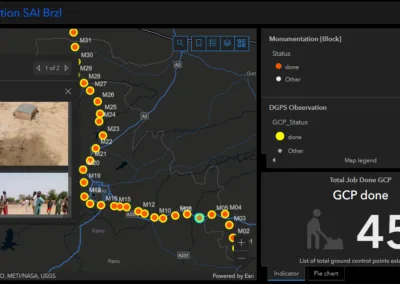
Similarly, organizations responsible for infrastructure can map their assets and monitor surrounding land-use changes. Such information can also help them prioritize inspections.
Ultimately, geospatial intelligence goes beyond producing maps. Its real value lies in transforming location-based information into insights that support better decisions.
Why Is Geospatial Intelligence Important in Nigeria?
Nigeria faces diverse geographic, environmental, economic and security challenges. Addressing these issues often requires more than knowing what is happening. Decision-makers must also understand where events occur and how conditions change over time.
Geospatial intelligence can help organizations organize this information and examine its geographic relationships.
Its potential importance in Nigeria spans several areas.
1. Supporting National Security
Effective security planning requires reliable information about locations, terrain, infrastructure and changing conditions.
Through the combination of geographic information, relevant imagery and incident records, geospatial intelligence can improve situational awareness.
Potential applications include crime mapping, monitoring changes around critical infrastructure, analyzing incident patterns and supporting operational planning.
For security organizations, properly analyzed geospatial information can reveal geographic patterns. Consequently, decision-makers can identify locations that may require additional assessment or resources.
However, GEOINT cannot replace trained personnel, verified intelligence or cooperation between relevant agencies. Its effectiveness depends on data quality, appropriate analysis and responsible use.
2. Improving UAV Surveillance and Monitoring
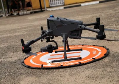
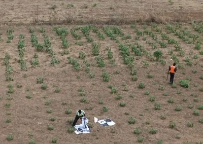
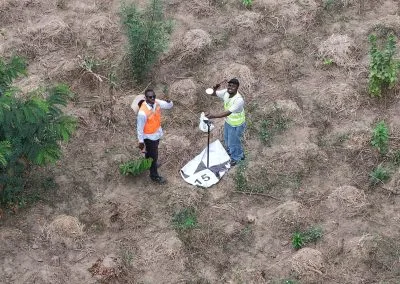
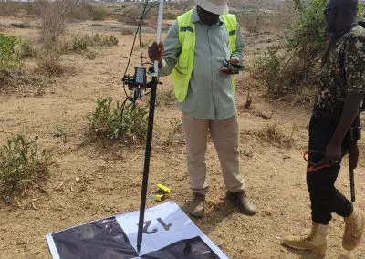
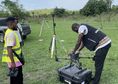
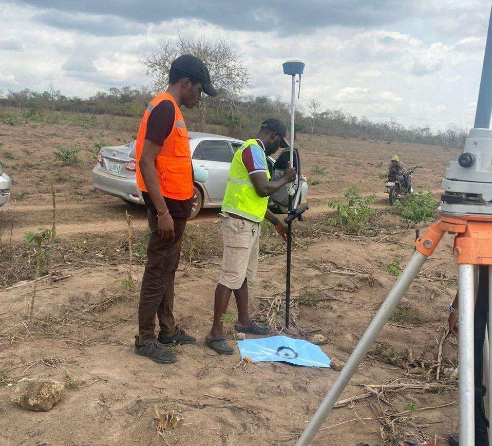
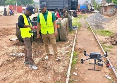
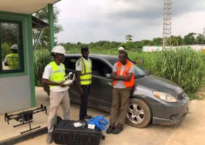
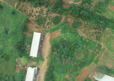
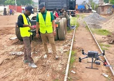
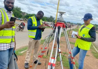
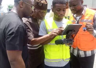
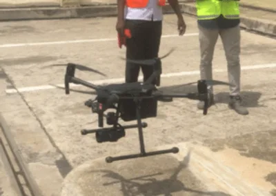
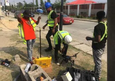
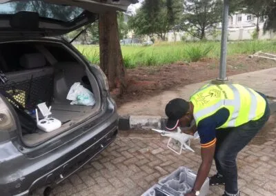
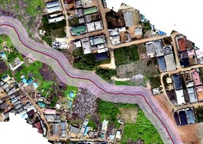
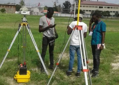
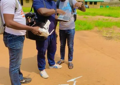
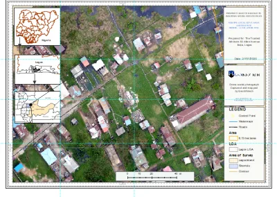
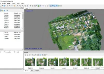
Unmanned Aerial Vehicles (UAVs), commonly called drones, provide another important source of geographic information. They can collect aerial imagery and other sensor data over selected areas.
When processed and integrated into GIS workflows, this information can support infrastructure inspections, environmental assessments, land monitoring and emergency-response planning.
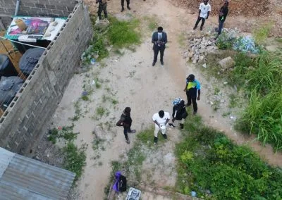
For instance, drone imagery can help an engineering team inspect a construction site or assess visible changes along a pipeline corridor. Afterwards, the collected imagery can be compared with existing maps or previous surveys. This helps identify locations that may require further investigation.
More importantly, combining UAV data with geospatial intelligence connects aerial observations with geographic context.
As a result, organizations gain more value than they would from viewing drone footage alone. They can locate, measure, compare and analyze the collected information alongside other datasets.
3. Protecting Critical Infrastructure
Nigeria depends on critical infrastructure, including roads, bridges, power facilities, telecommunications networks, pipelines and industrial assets.
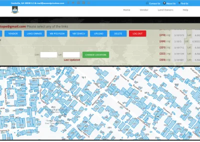
Geospatial intelligence can strengthen infrastructure management by helping organizations map asset locations, monitor surrounding conditions and plan inspections.
Some potential applications include:
- Mapping infrastructure assets and their surrounding environments.
- Monitoring visible land-use changes near infrastructure.
- Supporting route planning and field inspections.
- Identifying areas that require further environmental or structural assessment.
- Improving coordination between teams responsible for different assets.
For example, oil and gas operators can use geographic information to understand pipeline routes, surrounding settlements, access roads and environmental features.
When integrated with suitable inspection and monitoring systems, these datasets can support better asset-management decisions.
4. Supporting Disaster Management and Emergency Response
Flooding, erosion, fires and other emergencies can affect communities, transport networks and essential services.
In such situations, geospatial intelligence can support preparedness and response. It helps show where hazards occur, which locations may be exposed and how emergency resources can reach affected areas.
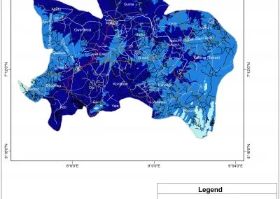
Consider flood-risk analysis. This process may combine elevation models, rainfall information, drainage networks, land cover and settlement data.
During an emergency, updated imagery and geographic information can also help response teams assess affected areas. Furthermore, these resources can highlight locations requiring further investigation.
Although these technologies support disaster management, they do not eliminate risks or guarantee accurate predictions. Their usefulness depends on data quality, timely updates, suitable analytical methods and coordination among response organizations.
5. Improving Urban Planning and Development
Nigeria’s growing cities require careful planning of housing, transportation, drainage, utilities and public services.
Geospatial intelligence helps planners understand settlement expansion, infrastructure distribution and changing land-use patterns.
Through GIS and remote sensing, professionals can support:
- Urban expansion monitoring.
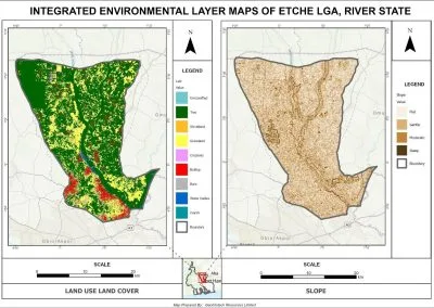
- Land-use and land-cover analysis.
- Infrastructure planning.
- Transport and accessibility studies.
- Environmental assessment.
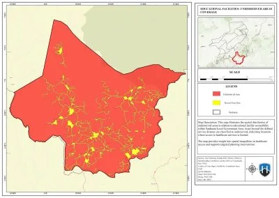
- Public-service location analysis.
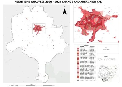
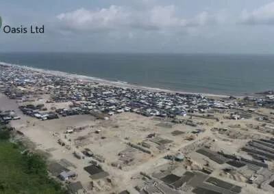
For instance, satellite imagery from different dates can reveal changes in built-up areas. Planners can then examine how these developments relate to road networks, drainage infrastructure and existing development plans.
Consequently, geographic information can contribute to evidence-based planning when combined with reliable local data and professional assessment.
6. Strengthening Agriculture and Environmental Monitoring
Agriculture and natural-resource management also offer important opportunities for geospatial intelligence.
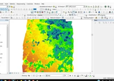
Using remote sensing, GIS and spatial analysis, agricultural organizations can assess farmland, monitor vegetation and understand differences in land conditions.
Possible applications include crop-condition monitoring, farmland mapping, irrigation planning and environmental assessment.
Similarly, environmental organizations can use geospatial information to monitor land cover, vegetation loss, erosion and changes around sensitive ecosystems.
By comparing information across different locations and time periods, analysts can identify changes that may require further investigation.
Technologies Used in Geospatial Intelligence
Geospatial intelligence does not depend on a single software package or data source. Instead, it involves workflows that combine different technologies, datasets and analytical methods.
Geographic Information Systems (GIS)
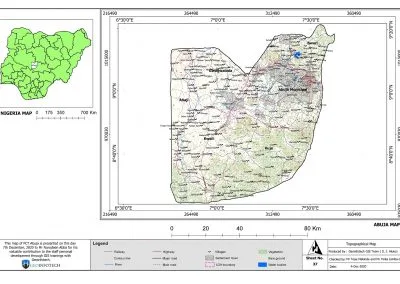
GIS software enables users to store, manage, visualize and analyze geographic information.
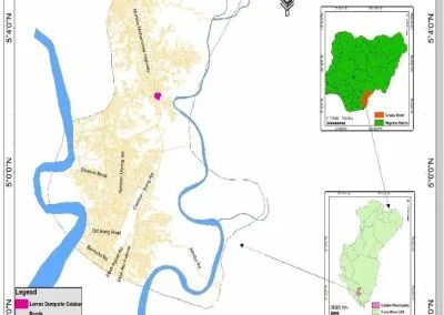
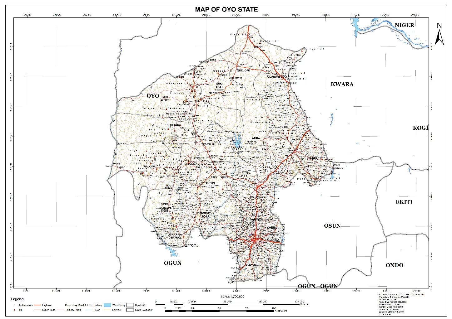
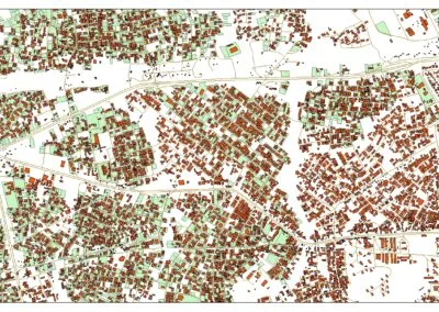
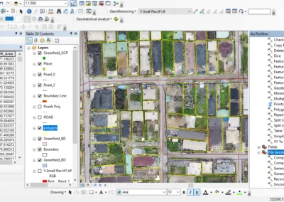
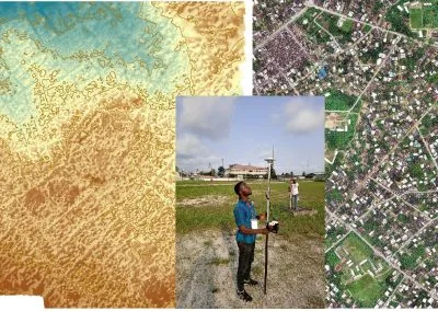
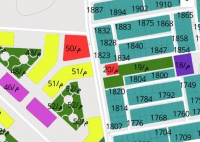
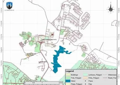
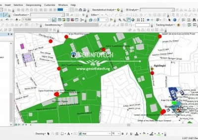
For example, it can combine layers such as roads, settlements, administrative boundaries, rivers, infrastructure and satellite-derived information. This makes it easier to identify spatial relationships.
Additionally, GIS supports analytical mapping, pattern identification and the communication of findings to decision-makers.
Satellite Imagery and Remote Sensing
Satellite imagery provides observations of the Earth’s surface across large geographic areas.
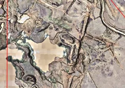
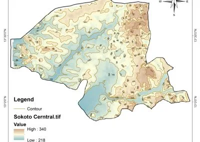
Through remote sensing, analysts can assess land-cover changes, vegetation conditions, urban expansion and environmental patterns.
Furthermore, comparing imagery from different dates can reveal changes that may not be visible in a single image.
UAVs and Drone Mapping
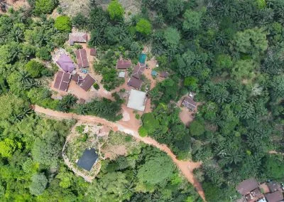
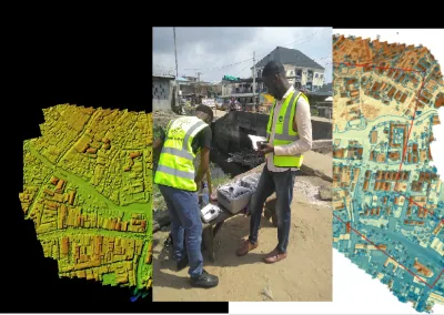
Drones collect high-resolution aerial imagery and, when equipped with suitable sensors, other types of geographic data.
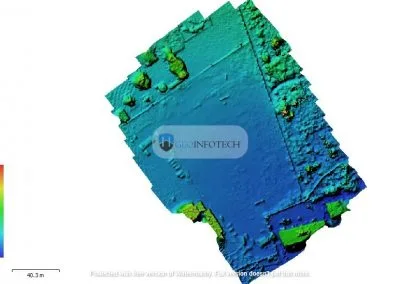
These datasets can support site mapping, infrastructure inspection, terrain modelling and environmental monitoring.
Nevertheless, drone operations must consider applicable aviation rules, privacy requirements, operational safety and responsible data handling.
Spatial Analytics and Artificial Intelligence
Spatial analytics helps professionals identify patterns and relationships within geographic datasets.
Meanwhile, artificial intelligence and machine learning can support image classification, change detection and large-scale data analysis. These applications require suitable training data and reliable validation methods.
Although such technologies can improve the speed of certain analytical tasks, their results still require quality checks and professional interpretation.
Real-Time Data and Monitoring Systems
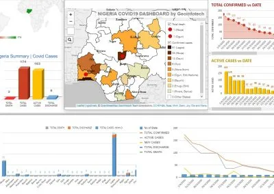
Some geospatial applications combine geographic information with regularly updated feeds from sensors, tracking devices and reporting systems.
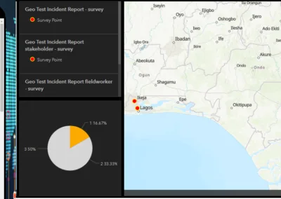
When these sources provide reliable and sufficiently current information, dashboards and monitoring platforms can help authorized users understand changing conditions.
However, not every geospatial dataset is real-time. Update frequency depends on the data source, collection method, processing workflow and system design.
Challenges Affecting Geospatial Intelligence in Nigeria
Despite its significant potential, implementing geospatial intelligence successfully requires more than acquiring software or collecting imagery.
Several challenges must be addressed to achieve reliable and sustainable results.
Data Availability and Quality
Incomplete, outdated or inconsistent datasets can affect the reliability of geospatial analysis.
Therefore, organizations need processes for checking data accuracy, documenting sources, maintaining updates and understanding information limitations.
Skills and Technical Capacity
Effective GEOINT requires professionals with knowledge of GIS, remote sensing, data analysis and the relevant application areas.
For this reason, training and professional development are essential. They can help build sustainable geospatial capabilities across different sectors.
Data Sharing and Coordination
Different organizations may collect information using varying formats, standards and procedures.
However, improved coordination and interoperability can make it easier to combine datasets and reduce unnecessary duplication.
At the same time, sensitive information must remain protected. Access should also follow appropriate permissions and security measures.
Infrastructure and Investment
Geospatial workflows may require computing resources, suitable software, reliable data storage, field equipment and skilled personnel.
Consequently, organizations must evaluate these requirements before adopting new systems. They should select solutions that match their operational needs and available resources.
Privacy, Ethics and Responsible Use
Geospatial information can reveal details about people, properties, movements and sensitive facilities.
As a result, organizations must consider privacy, access controls, data protection and the possible consequences of sharing or misinterpreting geographic intelligence.
Responsible GEOINT practice therefore requires appropriate safeguards, clear procedures and human oversight.
The Future of Geospatial Intelligence in Nigeria
The future of geospatial intelligence in Nigeria will depend on the country’s ability to develop technical skills, improve data practices and encourage responsible innovation.
Equally important is the need to connect technology with real operational requirements.
Several areas present opportunities for further development.
Greater integration of UAV data and GIS: Combining drone imagery with geographic databases can support detailed site assessments, infrastructure inspections and environmental monitoring.
Wider use of GeoAI: Artificial intelligence may help analysts process imagery, identify patterns and prioritize areas for review. However, outputs must be properly validated.
More accessible spatial information: Well-designed dashboards and mapping applications can help appropriate users understand geographic information without manually interpreting complex datasets.
Stronger collaboration: Partnerships between government, industry, educational institutions and technology providers can encourage skills development. They can also support solutions designed for Nigerian conditions.
More data-driven planning: Reliable geospatial information can help organizations evaluate conditions, compare alternatives and monitor the outcomes of development interventions.
Ultimately, progress in these areas will require investment, collaboration, technical capacity and responsible governance.
Geoinnovation Summit 3.0: Connecting Geospatial Intelligence with National Development
As interest in geospatial intelligence continues to grow, industry platforms can help advance important conversations. They bring together technology professionals, decision-makers, researchers and businesses to explore emerging opportunities.
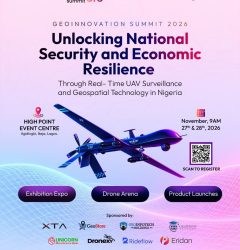
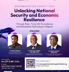
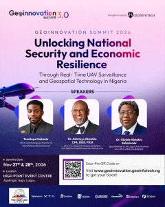
One such platform is Geoinnovation Summit 3.0, organized by Geoinfotech. The event is scheduled for November 27th–28, 2026, at High Point Event Centre, Agidingbi, Ikeja, Lagos.
This year’s theme is:
“Unlocking National Security and Economic Resilience Through Real-Time UAV Surveillance and Geospatial Technology in Nigeria.”
The theme directly connects with several applications discussed in this article. These include UAV surveillance, infrastructure monitoring, geospatial analysis and the use of geographic information to support decisions.
Furthermore, the advertised program includes technical sessions, masterclasses, a dedicated GeoAI track, product showcases, an exhibition expo, drone activities and networking opportunities.
Through these activities, professionals, organizations, students and technology enthusiasts can explore emerging applications. They can also connect with others across the geospatial ecosystem.
For GIS professionals, the summit offers an opportunity to engage with industry developments. Meanwhile, businesses can discover technologies and potential partners. Students and researchers can also gain exposure to professional discussions and innovation opportunities.
Event Details
- Event: Geoinnovation Summit 3.0
- Dates: November 27th–28th, 2026
- Venue: High Point Event Centre, Agidingbi, Ikeja, Lagos, Nigeria
- Organizer: Geoinfotech
- Theme: Unlocking National Security and Economic Resilience Through Real-Time UAV Surveillance and Geospatial Technology in Nigeria.
Visit the official Geoinnovation Summit website to explore event information and check current ticket availability.
Conclusion
Geospatial intelligence in Nigeria has applications across national security, infrastructure management, agriculture, urban planning, environmental monitoring and disaster response.
By combining geographic information with satellite imagery, UAV data, GIS and analytical tools, organizations can better understand locations and identify important patterns. More importantly, these insights can support informed decisions.
However, achieving these benefits requires reliable data, skilled professionals, appropriate technology, collaboration and responsible information management.
As Nigeria continues to explore technology-driven approaches to development and security, geospatial intelligence will remain an important area for professional learning, innovation and discussion.
Interested in the future of geospatial intelligence and UAV surveillance in Nigeria?
Join the conversation at Geoinnovation Summit 3.0 on November 27th–28th, 2026, in Lagos.
Visit the official website to learn more about the event and check ticket information: