 Port Harcourt plays an important role in Nigeria’s oil and gas industry. The wider area contains pipelines, refineries, storage facilities, gas infrastructure, industrial sites and transportation networks.
Protecting these assets requires more than isolated security operations. Organizations need systems that can detect changes, share information and support timely responses.
This is where coordinated surveillance and geospatial technology can make a difference.
Why Coordination Matters
Large infrastructure networks generate information from many sources. Security teams may receive reports from field personnel, community members, cameras, drones, satellite imagery and other monitoring systems.
Without coordination, these sources can remain disconnected.
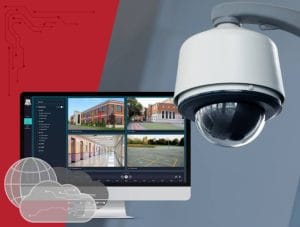
A central surveillance framework can bring relevant information together. GIS can provide the spatial foundation by showing where assets are located and where reported incidents or changes occur.
NNPC Ltd described its 2026 pipeline-security approach as an integrated energy security model that combines intelligence, surveillance, security deployment, regulatory oversight, industry cooperation and community-based surveillance.
The Role of GIS in Surveillance
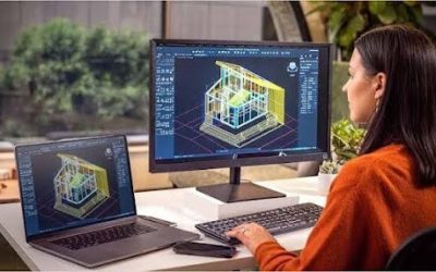
GIS can transform security information into a spatial picture.
A digital infrastructure database can contain:
- Pipeline and pipeline-corridor locations
- Refineries and processing facilities
- Storage and distribution facilities
- Roads, waterways and access routes
- Previous inspection and incident locations
- Environmental and surrounding land-use information
When teams combine these layers, they can understand how infrastructure relates to its surroundings.
GIS can also support risk mapping and help organizations prioritize areas for inspection.
Using Drones for Situational Awareness
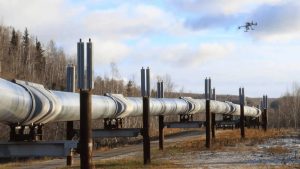
Drones provide another layer of information for infrastructure monitoring. They can capture high-resolution imagery across selected areas and provide updated views of sites that require inspection.
Oil and gas operators in Nigeria already use aerial surveillance approaches. Shell’s 2024 reporting, for example, described the use of surveillance flights and drones to inspect vulnerable pipeline segments, monitor security and identify spills or illegal activity.
The value of drone monitoring increases when teams connect the imagery to a wider GIS environment. Instead of treating each flight as a standalone survey, organizations can compare current imagery with previous observations and track changes over time.
From Detection to Rapid Response
Surveillance only becomes useful when organizations can act on reliable information.
A coordinated framework can establish a simple information flow:
Detection → Verification → Location → Assessment → Response → Documentation
For example, a monitoring system may flag a change along an infrastructure corridor. The relevant team can then verify the observation, determine its location and assess the appropriate response.
GIS can support this process by providing coordinates, asset information, access routes and surrounding features to authorized personnel.
Connecting Multiple Monitoring Technologies
No single technology can provide complete coverage.
Satellite imagery can monitor broad areas. Drones can provide detailed observations at selected locations. Ground teams can verify conditions directly. GIS can bring the resulting information into one spatial environment.
This layered approach creates stronger situational awareness than relying on one source alone.
It can also support environmental monitoring, infrastructure inspections and emergency planning alongside security operations.
Building a Coordinated Infrastructure Monitoring System
A modern surveillance framework should therefore connect people, technology and spatial information.
Organizations can combine GIS databases, drone surveys, remote sensing, field reports and appropriate communication systems into a coordinated workflow. Historical information can then help teams understand recurring patterns and improve future monitoring.
NNPC’s recent collaboration with security agencies also illustrates the importance of coordinated action. In June 2026, NNPC reported joint work involving its Industry Wide Security Architecture, the Nigerian Pipelines & Storage Company, the Office of the National Security Adviser and other security stakeholders.
For organizations managing complex infrastructure, GeoInfotech provides geospatial technology services that connect GIS, surveying, drone mapping, remote sensing and spatial analysis.
As Port Harcourt continues to support Nigeria’s energy sector, coordinated surveillance systems can provide the spatial awareness needed to monitor critical assets, identify changes and support informed response decisions.