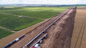
 Pipeline protection strategy in Port Harcourt.
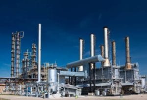
Pipeline protection in Port Harcourt is becoming increasingly technology-driven. Oil and gas pipelines cross industrial areas, communities, roads and environmentally sensitive locations. Protecting these networks therefore requires continuous monitoring and better knowledge of changing conditions around critical infrastructure.
Modern pipeline protection strategies are moving beyond periodic inspections. They increasingly combine GIS, drones, remote sensing, artificial intelligence, risk mapping and real-time intelligence.
From Reactive to Proactive Monitoring
One major shift is the move from responding to incidents toward identifying risks earlier.
Historical incidents, environmental conditions, land-use changes and infrastructure data can be combined within GIS. This allows operators to identify vulnerable sections and prioritise monitoring activities.
Instead of treating every section of a pipeline corridor the same way, spatial analysis can help direct attention toward areas with greater observed risk.
Growth of Drone-Based Surveillance
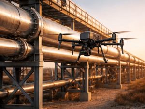
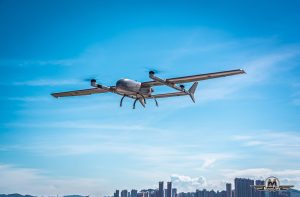
Drones are becoming valuable tools for monitoring extensive pipeline corridors.
High-resolution aerial imagery can document changes along rights-of-way, including vegetation disturbance, development and other visible conditions. Thermal and specialised sensors can provide additional information for specific inspection requirements.
Repeated drone surveys can also create a time series of observations, helping teams compare current conditions with previous surveys.
Satellite Monitoring and Remote Sensing
Satellite imagery provides another layer of coverage.
Large pipeline networks can be monitored for changes in surrounding land use, vegetation and development. Multi-temporal imagery allows analysts to compare conditions across different dates.
This wider perspective can help identify locations that require detailed drone or field investigation.
Artificial Intelligence and Automated Analysis
The growing volume of imagery and inspection data is creating new opportunities for artificial intelligence.
AI and machine learning can help process large datasets and identify patterns that may require human review. Computer vision can also support the analysis of aerial imagery for visible changes along infrastructure corridors.
These systems work best as decision-support tools. Field expertise and engineering assessment remain essential.
Integrated GIS and Real-Time Intelligence
Another important trend is the integration of monitoring technologies.
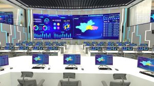
GIS can connect drone imagery, satellite observations, inspection records and asset information within a common spatial environment. Real-time data can then provide updated information about selected locations.
This creates a connected workflow:
Monitor → Detect → Locate → Verify → Assess → Respond
The result is a more coordinated approach to pipeline protection.
Stronger Focus on Risk Mapping
Pipeline protection is also becoming more spatial.
Risk maps can combine pipeline routes with settlements, roads, waterways, environmental conditions, previous incidents and other relevant factors. This helps organisations understand the broader context around their infrastructure.
Geospatial analysis can therefore support inspection planning, maintenance decisions and infrastructure management.
Supporting Modern Pipeline Protection
Technology alone cannot protect a pipeline. Effective protection also requires engineering controls, maintenance, field inspections, security coordination and cooperation with surrounding communities.
Geospatial technology strengthens these efforts by providing better information about where assets are located, what is changing around them and where attention may be required.
Geoinfotech supports this approach through Drone Services for Oil and Gas in Nigeria, combining drone technology, GIS, LiDAR, thermal imaging and photogrammetry for infrastructure monitoring and inspection.
The Direction of Pipeline Protection
The future of pipeline protection in Port Harcourt is likely to involve increasingly connected monitoring systems.
Drones can provide detailed aerial observations. Satellites can provide wider coverage. GIS can organise the information spatially, while AI can help analyse large datasets.
Together, these technologies can support a shift toward continuous, data-driven and risk-based pipeline management across Port Harcourt’s complex energy infrastructure.