
Oil and gas pipelines transport essential resources across long distances. However, pipeline operators must manage more than the pipes themselves. They also need to monitor the land around their infrastructure, maintain access for inspections and repairs, and identify activities that could threaten pipeline safety.
This is where a pipeline right-of-way (ROW) becomes important.
A pipeline right-of-way is a defined strip of land over which a pipeline operator has obtained specific rights to construct, operate, inspect or maintain a pipeline. The land may be owned by the operator or covered by an easement or another legal agreement. The exact rights and permitted activities depend on the agreement and applicable laws.
For pipeline operators in Nigeria, particularly those managing extensive infrastructure across the Niger Delta, understanding the ROW can support better asset management, environmental monitoring and corridor inspection.
Geoinfotech provides relevant services, including drone-based pipeline monitoring, GIS mapping and route surveying. These services can help organisations collect and analyse spatial information about pipeline corridors and their surroundings.
What Does Pipeline Right-of-Way Mean?
A pipeline right-of-way is the land corridor associated with a pipeline and the legal rights granted to its operator for specified activities.
The ROW provides space for pipeline installation, access, maintenance and inspection. It can also help operators manage activities around the infrastructure.
However, a ROW does not automatically mean that the pipeline company owns every part of the land. In some cases, the company owns the property. In others, it holds an easement or another agreement that grants particular rights.
The corridor’s width also varies. It depends on factors such as the pipeline project, the relevant land agreements, the number of pipelines and applicable requirements. There is no single width that applies to every pipeline.
For a specific corridor, operators and landowners should consult the relevant survey plans, land agreements and official records rather than assume a standard measurement.
What Is the Difference Between a Pipeline and Its ROW?
A pipeline and its right-of-way are related, but they are not the same thing.
The pipeline is the physical infrastructure that transports oil, gas or another product. Depending on the system, it may be buried underground or installed above ground.
The right-of-way is the defined land corridor associated with the pipeline and the rights granted for its use, operation and maintenance.
The pipe may occupy only part of the corridor. The remaining land can provide access for inspection, maintenance and other activities permitted under the applicable agreement.
This distinction matters because pipeline management involves both the physical asset and the surrounding land.
Why Is a Pipeline ROW Important?
A clearly documented and properly managed ROW supports safe pipeline operations and helps operators understand the conditions around their assets.
1. Pipeline Inspection and Maintenance
Operators need suitable access to inspect pipelines, investigate reported problems and perform maintenance. A mapped ROW helps teams understand the corridor’s location and plan inspection activities.
Regular inspection can also help identify visible changes that require further investigation.
2. Encroachment Monitoring
Encroachment occurs when development or another activity enters a pipeline corridor or conflicts with the rights and restrictions that apply to it.
Examples may include unauthorised structures, certain excavation activities, road construction or changes in land use.
Drone imagery and GIS mapping can help operators identify visible changes along a corridor. However, imagery alone does not establish whether an activity is legally unauthorised. Teams must compare observations with verified ROW boundaries, applicable agreements and relevant requirements.
3. Environmental Protection
Pipeline corridors may cross farmland, wetlands, rivers, forests and populated areas. Monitoring these surroundings can help organisations document erosion, vegetation changes, drainage problems and other visible environmental concerns.
GIS can help relate observations to water bodies, settlements, sensitive habitats and other geographic features.
Where an incident occurs, accurate location information can support environmental assessment and response planning.
4. Land and Asset Management
Pipeline operators often manage extensive networks with multiple assets, access points and maintenance records.
A GIS database can connect mapped pipeline routes with inspection observations, asset identifiers, maintenance history and other relevant records. This helps teams organise information and identify areas requiring attention.
How Do Companies Monitor a Pipeline Right-of-Way?
Pipeline ROW monitoring combines field inspections, accurate mapping and the review of changes along the corridor. The best approach depends on the pipeline’s length, terrain, accessibility, risk profile and monitoring objectives.
Ground Inspection
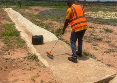
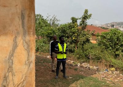
Field teams can inspect accessible sections of a corridor and document visible conditions. They may record erosion, damaged markers, vegetation changes, nearby construction and other observations.
Ground inspections can provide useful detail, although covering a long or difficult-to-access corridor may require substantial time and coordination.
Drone Pipeline Inspection
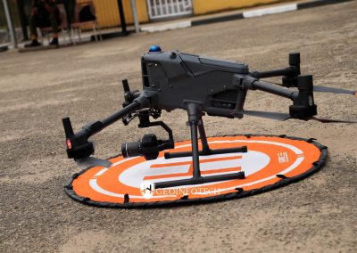
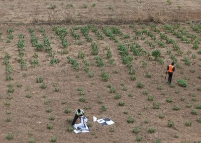
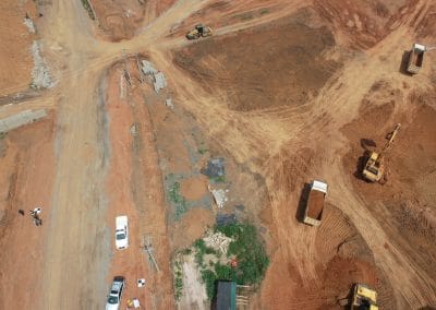
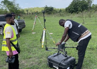
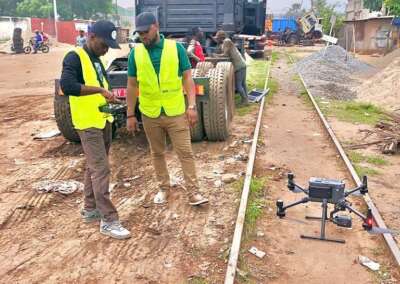
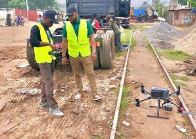
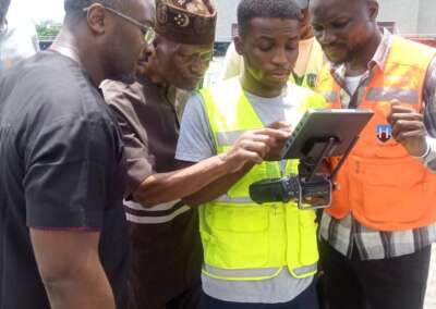
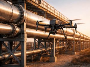
Drones can capture aerial imagery of suitable pipeline sections. Operators can use the imagery to review visible corridor conditions, identify areas that may require further investigation and document changes between inspection periods.
Drone missions must follow applicable aviation requirements, permissions and operational safety procedures. Aerial imagery also has limitations: it cannot reliably reveal every underground defect or confirm the internal condition of a pipeline.
Geoinfotech’s drone services for oil and gas in Nigeria include pipeline monitoring and inspection, facility inspection and geospatial data collection.
GIS Mapping and Spatial Analysis
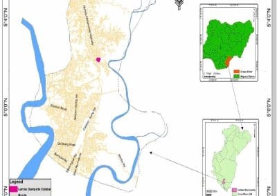
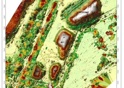
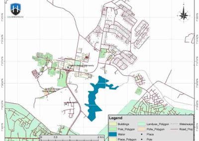
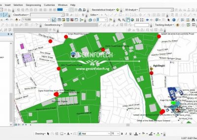
Geographic Information Systems (GIS) help operators organise pipeline routes, ROW boundaries, inspection points and surrounding features in a spatial database.
A GIS project may include:
- Pipeline centreline and verified corridor boundaries.
- Access roads, crossing points and relevant facilities.
- Inspection locations and geotagged observations.
- Nearby rivers, wetlands, settlements and land-use features.
- Historical imagery and records of observed changes.
- Areas requiring follow-up inspection or environmental assessment.
The quality of the analysis depends on the accuracy and currency of the source data. Where legal boundaries matter, the mapping must use authoritative survey and land records.
Geoinfotech offers GIS mapping and geospatial analysis services that can support pipeline corridor mapping and spatial data management.
What Is Pipeline ROW Encroachment?
Pipeline ROW encroachment refers to development or activity that enters a corridor or conflicts with the restrictions established for that pipeline.
Potential examples include:
- Construction close to or within the documented corridor.
- Excavation or earthworks that may affect pipeline safety.
- New roads or access tracks crossing the corridor.
- Structures or material storage in restricted areas.
- Land-use changes that obstruct inspection or maintenance access.
Not every activity near a pipeline is automatically an encroachment. The determination depends on the actual pipeline location, the ROW boundary, the governing agreement and applicable rules.
For this reason, operators should combine accurate mapping with field verification and the appropriate legal or technical review.
How GIS and Drones Can Help Identify Potential Encroachment
A practical monitoring workflow can begin with a verified pipeline route and ROW boundary. The organisation can then collect aerial imagery or field observations and compare them with previous records.
GIS helps identify visible changes and locate areas that may need further inspection. For example, an operator might compare recent imagery with an earlier survey to locate new structures near a mapped corridor.
The results should be treated as potential issues for review rather than automatic proof of a violation. Field checks and confirmation against authoritative records may be necessary.
How to Map a Pipeline Right-of-Way
A pipeline ROW mapping project should follow a structured process to produce useful, reliable information.
Step 1: Collect existing records. Obtain available pipeline route data, survey plans, ROW agreements, asset records and relevant environmental information.
Step 2: Verify the coordinate system. Confirm that the datasets use compatible coordinate systems and that their positions match the appropriate reference information.
Step 3: Establish the corridor boundaries. Use authoritative survey and land records to define the ROW. Do not assume a fixed corridor width without supporting documentation.
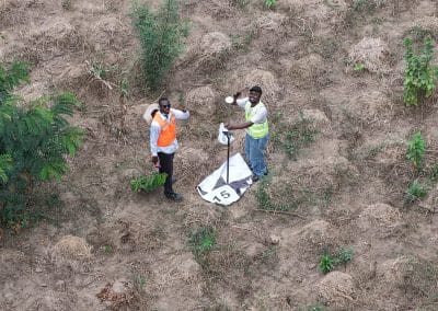
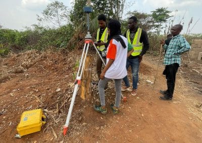
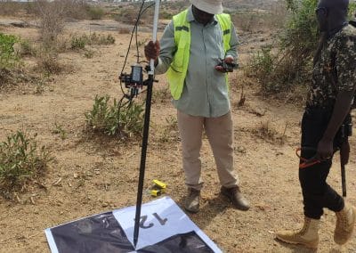
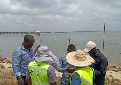
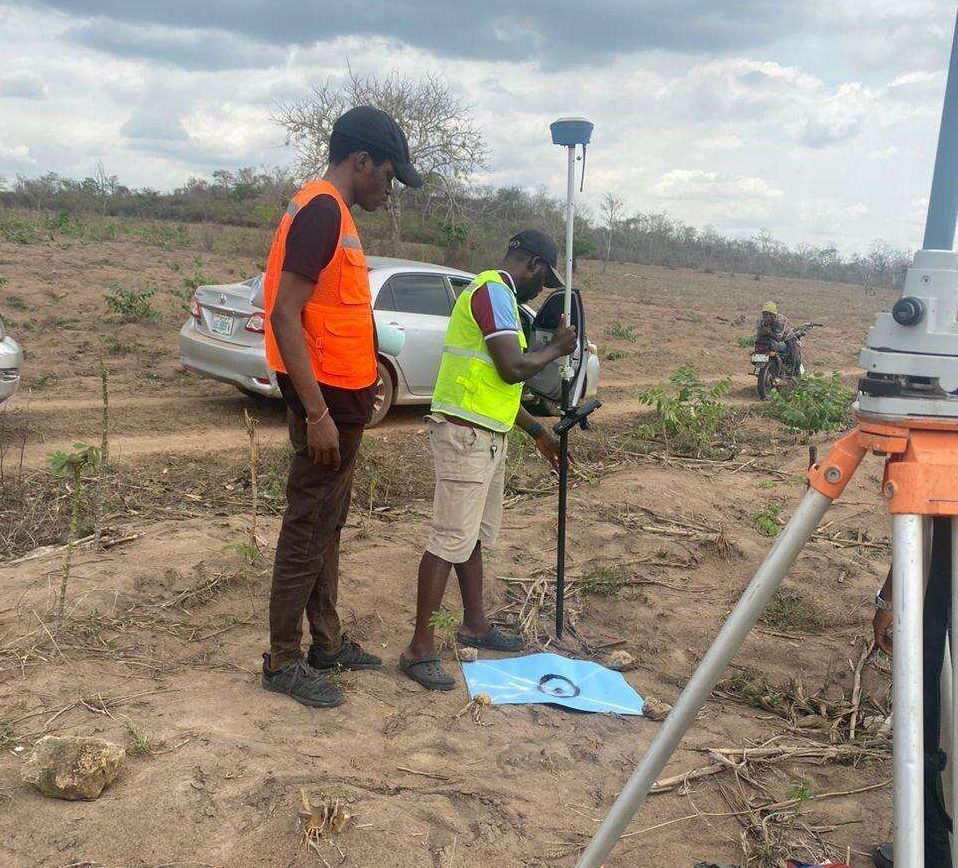
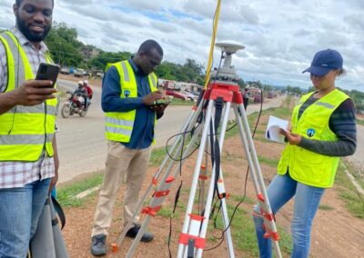
Step 4: Collect field or aerial data. Depending on the project, use GNSS surveying, drone imagery, ground inspection or other suitable methods to capture relevant features and current conditions.
Step 5: Process the spatial data. Prepare the imagery, survey observations and mapped features for GIS analysis. Check positional accuracy and document data limitations.
Step 6: Identify changes and areas of concern. Compare current information with previous records and identify locations requiring field verification or further assessment.
Step 7: Prepare the deliverables. Depending on the scope, outputs may include corridor maps, geospatial datasets, inspection records, change-detection results and a report describing the findings.
The exact workflow should reflect the project’s accuracy requirements, operating environment and intended use.
Pipeline ROW Monitoring in Nigeria
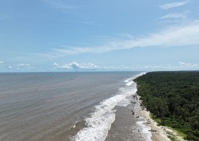
Nigeria’s oil and gas infrastructure includes pipelines that pass through different landscapes and land-use settings. Some corridors cross agricultural areas, waterways, settlements and environmentally sensitive locations.
These conditions make reliable corridor information valuable for inspection planning, asset management and environmental assessment.
For example, a pipeline operator working in the Niger Delta may need to document visible changes along a corridor, identify areas of erosion or vegetation disturbance, and map the relationship between pipeline infrastructure and nearby water bodies.
A combination of drone imagery, field verification and GIS analysis can support this work. The appropriate data collection method depends on site access, vegetation cover, weather, operational constraints and the type of issue being investigated.
A mapped corridor can also help teams prioritise inspections. However, remote sensing should complement, rather than replace, specialised pipeline integrity testing and other inspections required by the operator.
How Geoinfotech Can Support Pipeline ROW Projects
Geoinfotech provides drone and geospatial services relevant to pipeline corridor mapping, monitoring and asset management.
Drone Services for Oil and Gas
Drone-based data collection can support aerial inspection of suitable pipeline sections and associated facilities.
Geoinfotech’s oil and gas drone services cover pipeline monitoring, facility inspection, thermal drone inspection, LiDAR mapping and GIS analysis.
These services may be relevant to operators who need current aerial information for inspection planning and corridor assessment.
GIS Mapping and Analysis
GIS can organise pipeline route information, verified ROW boundaries, environmental features and inspection observations into a usable spatial dataset.
Explore Geoinfotech’s GIS services to discuss mapping, spatial analysis and geospatial data management requirements.
Route Surveying and Mapping
Where a project requires route-related surveying and spatial information, surveying and mapping services can help document corridor features and support infrastructure planning.
Geoinfotech’s route surveying and road survey services describe a workflow involving planning, data acquisition and the preparation of mapping deliverables.
For legal boundary determination or engineering work, confirm the required survey specifications and professional sign-off with the project provider.
How Much Does Pipeline ROW Mapping and Monitoring Cost?
The cost depends on the length of the pipeline, the terrain, data requirements and the scope of work.
Key factors include:
- Total corridor length and number of sections.
- Availability and quality of existing route and ROW records.
- Required survey accuracy and ground control.
- Drone coverage, field access and site conditions.
- GIS analysis, change detection and reporting requirements.
- Environmental data collection and any specialist inspection needs.
- Frequency of repeat monitoring and the required deliverables.
A project requiring a one-time corridor map will differ from a programme involving recurring drone inspections, GIS updates and field verification.
When requesting a quotation, provide the approximate route length, available data, project location, monitoring objectives and expected outputs. This helps the provider assess the scope and propose a suitable approach.
Frequently Asked Questions About Pipeline ROW
What does ROW stand for in the oil and gas industry?
ROW stands for right-of-way. In pipeline operations, it refers to a defined land corridor over which the operator has specific rights for activities such as construction, operation, inspection or maintenance.
Is a pipeline right-of-way the same as the pipeline route?
No. The route describes the pipeline’s path. The ROW refers to the land corridor and associated rights connected with that infrastructure. The exact boundaries should be confirmed using authoritative records.
How wide is a pipeline right-of-way?
There is no universal width. It varies by project, pipeline configuration, land agreement and applicable requirements. Consult the relevant survey plans and legal documents for the actual dimensions.
Can drones detect pipeline leaks?
Drones can support certain inspection and monitoring tasks, especially when equipped with appropriate sensors and operated under a suitable plan. However, ordinary aerial photographs cannot reliably detect every leak. Leak detection requires methods and sensors appropriate to the product, pipeline and suspected failure.
Can GIS identify pipeline ROW encroachment?
GIS can help compare mapped corridor boundaries with buildings, roads, excavation observations and other spatial features. The results can flag potential conflicts for further review, but they do not automatically establish a legal violation.
Does Geoinfotech provide pipeline ROW mapping services?
Geoinfotech publishes oil and gas drone inspection, GIS mapping and route surveying services that are relevant to pipeline corridor projects. Contact the team to confirm the exact scope, deliverables, survey requirements and availability for your project.
Need Pipeline ROW Mapping or Monitoring Services?
A well-documented pipeline right-of-way supports inspection planning, asset management and the identification of potential corridor changes. Combining verified survey records with drone imagery and GIS analysis can give operators a clearer understanding of the land around their infrastructure.
If your organisation needs pipeline corridor mapping, drone inspection, GIS analysis or route surveying in Nigeria, contact Geoinfotech to discuss your project requirements.
Share the pipeline location, approximate corridor length, available survey data and the outputs you need. The team can then assess which services are suitable for your project.
Visit: https://geoinfotech.ng/
Email: mail@geoinfotech.ng