
Modern organisations need more than information to manage operations effectively. They need the right information, at the right time, presented in a way that supports fast and informed decisions. This is why a control room setup for real-time decision making has become valuable for organisations responsible for security, infrastructure, industrial operations and emergency coordination.
A well-planned control room brings relevant information into one operational environment. Depending on its design, it can display live video, maps, sensor readings, incident reports and communication updates. Teams can use these resources to assess situations, coordinate responses and review events after they occur.
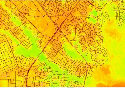
For organisations in Nigeria, particularly those managing oil and gas facilities, industrial sites, construction projects and critical infrastructure, combining real-time monitoring with geospatial information can improve operational awareness.
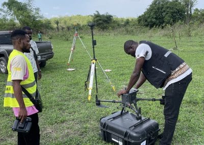
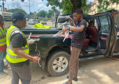
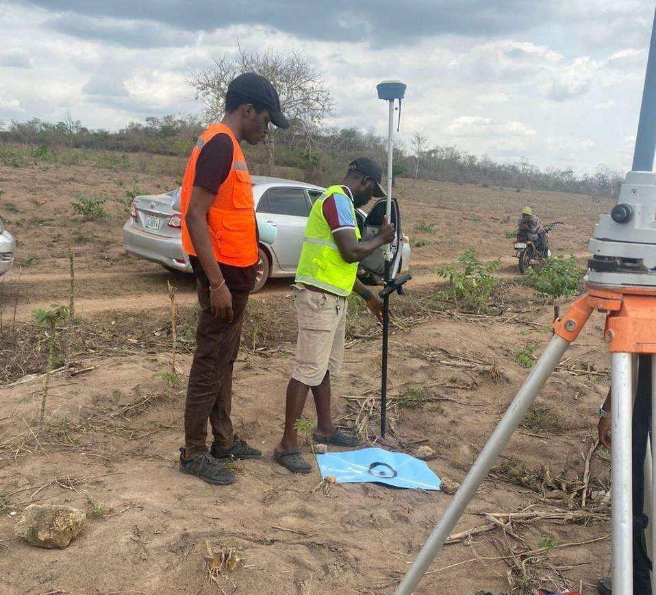
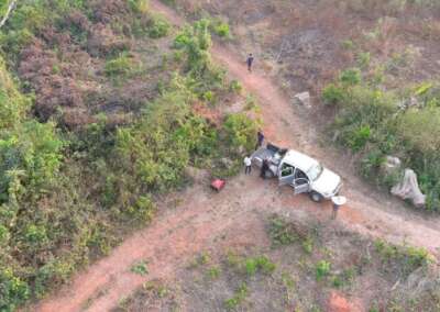
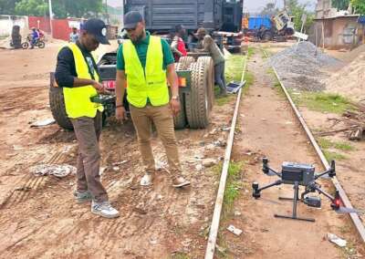
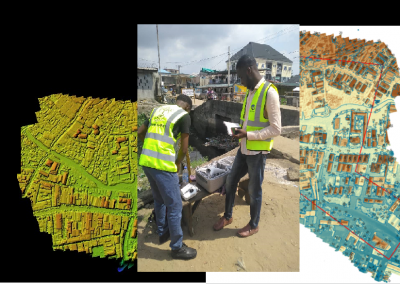
Geoinfotech provides services relevant to this approach, including drone livestreaming, GIS mapping, aerial inspection and geospatial data analysis. These services can support a control room workflow, subject to the required system integration and project specifications.
What Is a Control Room Setup?
A control room is a dedicated operational environment where authorised personnel monitor activities, assess information and coordinate decisions. It may serve a security team, an industrial facility, an emergency response unit or an infrastructure management department.
However, an effective control room involves more than installing screens and computers. Its design must support the people, information and processes needed to manage daily operations and unexpected events.
A typical setup may include:
- Display systems: Screens or video walls for viewing live feeds, maps, dashboards and operational information.
- Monitoring software: Applications that present relevant information from approved cameras, sensors, databases and other connected systems.
- Communication tools: Radios, telephones or approved communication platforms for coordinating personnel.
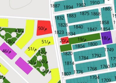
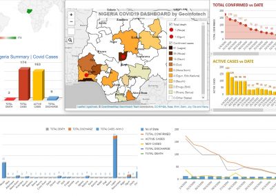
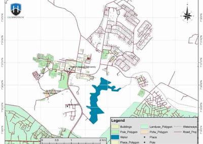
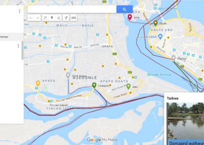
- GIS mapping: Geographic information that helps operators understand where assets, incidents and field teams are located.
- Data storage: Suitable systems for retaining authorised recordings, incident reports, maps and supporting documents.
- Operator workstations: Computers and interfaces that help staff review information and perform assigned tasks.
The exact configuration depends on the organisation’s objectives, available infrastructure, operational risks and budget.
Why Real-Time Decision Making Matters
When an incident occurs, delays can affect safety, costs and operational continuity. A control room helps reduce information gaps by giving authorised decision-makers access to relevant updates in one place.
1. Faster Situational Awareness
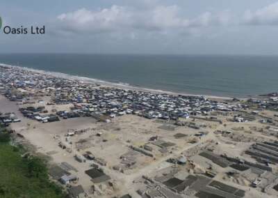
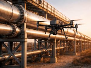
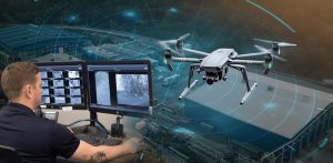
Operators can review incoming information without relying entirely on separate phone calls or delayed field reports. For example, a live drone feed may help a team assess a reported incident around a pipeline corridor or industrial facility.
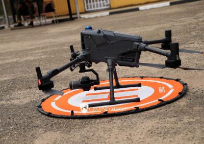
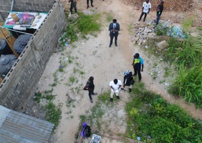
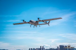
Geoinfotech’s drone livestreaming service in Nigeria provides a relevant option for projects that require remote viewing of live aerial footage during suitable drone operations.
2. Better Coordination Between Teams
A control room can provide a shared operational picture for security personnel, engineers, supervisors and management. When teams work from the same verified information, they can coordinate their next steps more effectively.
For example, an operator may identify an area of concern on a map, share the location with the relevant team and record the actions taken.
3. Improved Asset Monitoring
Organisations managing large sites often need to monitor multiple assets across different locations. A control room can bring selected inspection records, maps and live observations into a common workflow.
Geoinfotech’s drone services for oil and gas in Nigeria cover activities such as pipeline monitoring, facility inspection, thermal drone inspection, LiDAR mapping and GIS analysis.
These services can provide useful information for asset monitoring and operational planning.
4. More Informed Decisions
Real-time information helps decision-makers understand what is happening before they choose a response. Nevertheless, live footage alone does not guarantee a correct decision. Operators must interpret the available evidence, follow established procedures and consider any information gaps.
A good control room design supports that process by presenting relevant information clearly and making responsibilities easy to understand.
How a Control Room Supports Post-Event Analysis
A control room should support operations during an incident and help the organisation learn from the event afterward.
Post-event analysis involves reviewing available evidence to understand what happened, when it happened, where it occurred and how the organisation responded.
Review Recorded Video and Available Data
Where recording is configured, authorised reviewers can examine relevant video, photographs, sensor records and operational logs. These materials may help establish a timeline and identify areas requiring further investigation.
The organisation should define retention periods, access permissions and evidence-handling procedures before an incident occurs.
Reconstruct the Incident Timeline
A clear timeline can help investigators compare the first reported observation with subsequent actions. Depending on the systems available, the review may include timestamps, communication records, field reports and georeferenced imagery.
This process can reveal delays, communication gaps and opportunities to improve operating procedures.
Use GIS to Understand the Location
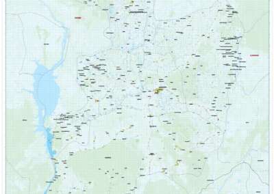
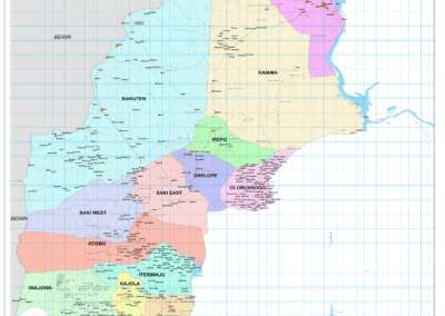
Geographic Information Systems (GIS) can help teams view incidents in relation to infrastructure, access routes, surrounding communities and environmental features.
For example, a review of a pipeline incident may benefit from a map showing the affected corridor, nearby water bodies, access roads and relevant inspection records.
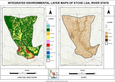
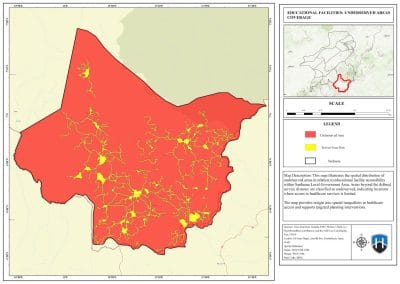
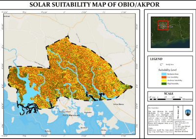
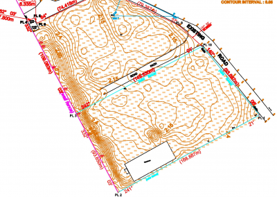
Geoinfotech offers GIS services in Nigeria that cover mapping, geospatial analysis and geodatabase-related work. These capabilities may support the mapping and analysis component of a control room project.
Produce Reports and Corrective Actions
After reviewing an incident, the organisation can document the findings, identify contributing factors and assign follow-up actions.
A useful post-event report should explain the event, reference the available evidence, record decisions and recommend practical improvements. It should also distinguish confirmed facts from assumptions.
Key Components of a Modern Control Room Setup
The following components can help organisations plan a control room that supports both real-time operations and later investigation.
Display and Monitoring Infrastructure
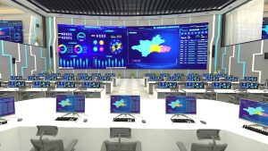
Choose screens, workstations and monitoring interfaces based on the information operators need to see. A large video wall may be useful for a multi-operator centre, while a smaller facility may work effectively with dedicated workstations and a few displays.
The design should prioritise readability, visibility and ease of use rather than screen size alone.
Live Video and Aerial Monitoring
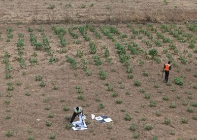
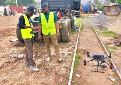
Live video can provide additional visibility into areas that fixed cameras cannot cover easily. When the project requires aerial observation, a suitable drone and transmission configuration may provide a live view to authorised personnel.
However, coverage depends on flight permissions, aircraft capabilities, communications availability, weather, operating procedures and the mission schedule. A drone livestream does not automatically provide continuous, round-the-clock monitoring.
GIS Maps and Geospatial Information
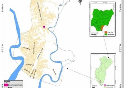
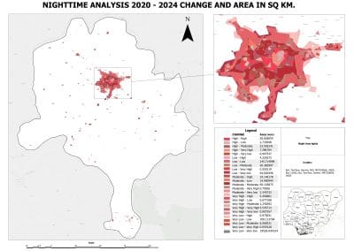
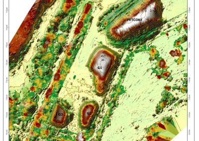
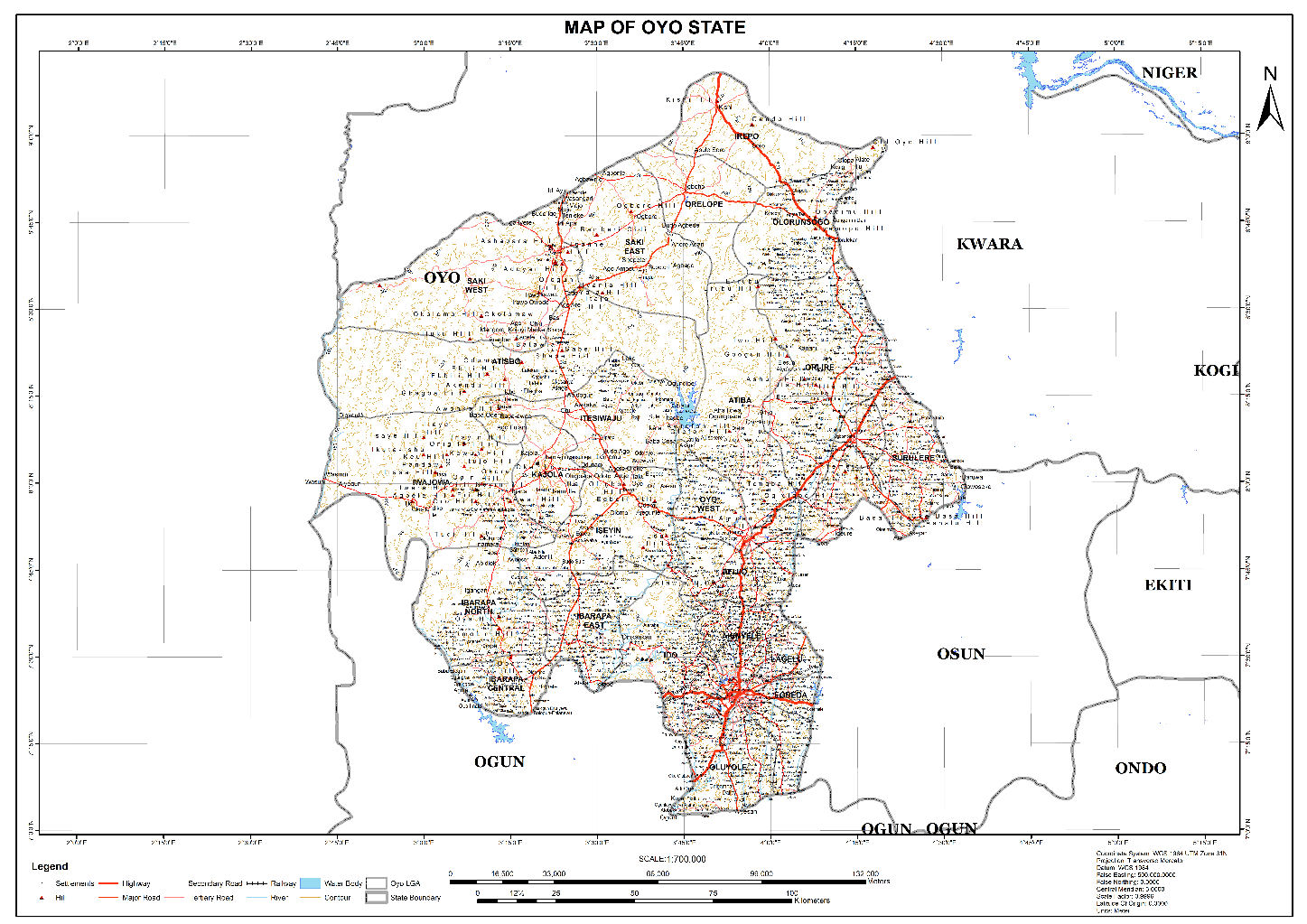
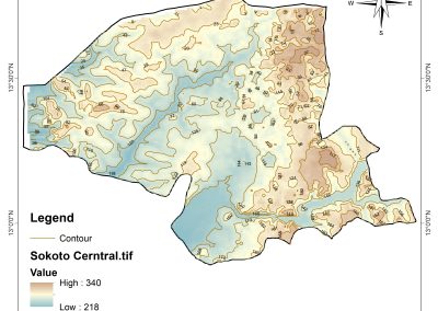
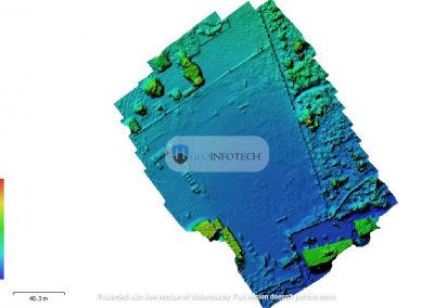
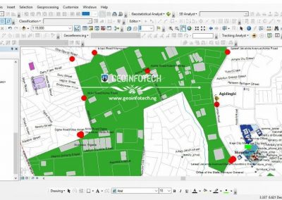
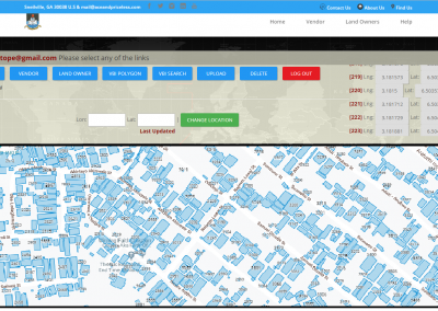
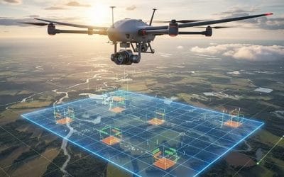
Maps help operators understand the geographical context of an event. Depending on the project, they can display infrastructure, asset locations, inspection areas, incident points, access routes and environmental features.
The underlying data must be sufficiently accurate and current for the decisions being made. Teams should also establish how maps and records will be updated.
Data Storage and Evidence Management
Post-event analysis depends on access to reliable records. Organisations should determine which information needs to be stored, how long it should be retained and who may access or export it.
Where footage or reports may support an investigation, preserve the original records and maintain appropriate access logs and evidence-handling procedures.
Communication and Operating Procedures
Technology cannot replace a clear operating process. Operators need defined responsibilities, escalation routes, incident categories and communication procedures.
A control room should also have a documented process for equipment failure, network interruption and situations where available information is incomplete.
Control Room Applications Across Different Industries
Oil and Gas
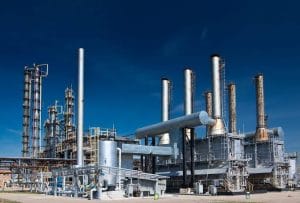
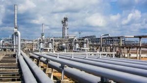
Oil and gas operators may use a control room to coordinate facility monitoring, pipeline inspections, maintenance activities and incident assessment.
Live aerial footage can support observation during suitable drone missions. GIS can add location context, while inspection records can help teams review asset conditions over time.
For organisations exploring this approach, Geoinfotech’s oil and gas drone services provide a relevant starting point for discussing aerial monitoring and geospatial requirements.
Security and Critical Infrastructure
Security teams may use control rooms to coordinate information from approved surveillance systems, incident reports and field personnel. Drone footage can provide an additional view when authorised and operationally suitable.
The control room design should clearly define who can view sensitive feeds, who can approve responses and how incidents are documented.
Construction and Infrastructure Projects
Construction teams can use a control room to review site progress, inspection records, aerial imagery and mapped project features.
Geoinfotech’s industrial drone inspection and asset management platform describes capabilities such as photogrammetry, georeferenced measurements, asset records and inspection reporting. These capabilities may support project documentation and post-inspection review.
Environmental Monitoring
Organisations working in environmentally sensitive areas may need to review the location and extent of incidents such as spills, erosion or vegetation disturbance.
A combination of aerial imagery, field observations and GIS mapping can help document affected areas and support subsequent assessment. The appropriate methods depend on the environmental question and the data available.
How to Plan a Control Room Setup for Your Organisation
Before investing in equipment or software, define the operational requirements. A structured planning process can prevent unnecessary costs and help ensure that each component serves a clear purpose.
Step 1: Identify the main objective. Decide whether the control room will support security monitoring, industrial operations, drone livestreaming, emergency coordination, post-event investigation or a combination of these functions.
Step 2: Assess existing infrastructure. Review current cameras, networks, computers, maps, sensors, communication systems and data storage. Identify what can be retained and what needs to change.
Step 3: Define the information required. List the live feeds, maps, alerts, reports and historical records operators need. Separate essential requirements from optional features.
Step 4: Design the system architecture. Determine how information will reach the control room, which applications will display it and how authorised users will access it. Confirm compatibility before purchasing equipment.
Step 5: Establish security and data governance. Set user permissions, retention rules, backup procedures and protocols for handling sensitive footage and incident records.
Step 6: Test the workflow. Run realistic scenarios to check whether operators can receive information, locate an incident, contact the right team and document the outcome.
Step 7: Review performance. Monitor factors such as response coordination, information availability, record completeness and system downtime. Use the findings to refine the setup.
How Geoinfotech Services Can Support Your Control Room Project
Geoinfotech offers drone and geospatial services that may form part of a broader control room solution. The appropriate combination depends on your operational objectives and the systems you already use.
Relevant services include:
- Drone livestreaming: For suitable operations requiring live aerial video and remote viewing. Explore the drone livestreaming service.
- Oil and gas drone inspection: For pipeline monitoring, facility inspection, thermal imaging, LiDAR mapping and related geospatial work. See drone services for oil and gas.
- GIS mapping and analysis: For spatial data, infrastructure maps and geographic analysis. Visit Geoinfotech’s GIS services.
- Industrial drone inspection and asset management: For photogrammetry, georeferenced measurements, inspection records and reporting workflows. Explore industrial drone inspection.
These published services are relevant building blocks, but they do not by themselves confirm that every control room requirement is available as a single, fully integrated package. Before commissioning a project, confirm the required hardware, software, integrations, network design, recording functions, support arrangements and service scope with Geoinfotech.
How Much Does a Control Room Setup Cost in Nigeria?
There is no single price that applies to every control room. The total cost depends on the scale of the operation and the level of integration required.
Important cost factors include:
- Number and size of displays and operator workstations.
- Cameras, drones and any specialist sensors required.
- Network infrastructure and live-video transmission requirements.
- GIS software, mapping services and data integration.
- Recording, storage, backup and cybersecurity requirements.
- Installation, configuration, training and ongoing maintenance.
- Site conditions, operating schedules and support requirements.
A small monitoring room may require a different investment from a multi-site command centre supporting industrial operations. The best starting point is a requirements assessment followed by a project-specific proposal.
Frequently Asked Questions
What is the main purpose of a control room?
A control room brings relevant operational information together so authorised personnel can monitor activities, coordinate responses and make informed decisions.
How does a control room support real-time decision making?
It presents available information, such as live video, maps, system readings and incident updates, in a form that helps operators assess situations and coordinate action.
What is post-event analysis in a control room?
Post-event analysis is the review of available footage, records, timelines and reports after an incident. It helps organisations document findings, identify gaps and improve future procedures.
Can drone livestreaming be integrated into a control room?
It may be possible, depending on the drone, video transmission method, receiving platform, network and display system. The compatibility and configuration should be confirmed during project planning.
Does Geoinfotech provide control room setup services?
Geoinfotech publishes services in drone livestreaming, GIS, oil and gas drone inspection, and industrial asset management. If you need a complete control room, contact the team to discuss your requirements and confirm which equipment, integrations and implementation services can be provided.
What information should I provide when requesting a quotation?
Describe your industry, site location, monitoring objectives, number of locations, existing equipment, required live feeds, GIS needs, recording requirements and preferred implementation timeline. These details will help the provider assess the scope.
Plan Your Control Room Project with Geoinfotech
A successful control room connects technology with a clear operational process. Live information can improve situational awareness, while GIS, inspection records and structured reporting can support post-event analysis.
If your organisation is planning a control room for security, oil and gas infrastructure, industrial monitoring or other critical operations, start by defining the decisions your team needs to make and the information required to make them.
Contact Geoinfotech to discuss your drone livestreaming, GIS mapping, inspection and monitoring requirements. Share your project objectives and existing infrastructure so the team can assess the most suitable services for your proposed control room.
Website: https://geoinfotech.ng/
Email: mail@geoinfotech.ng