Port Harcourt plays an important role in Nigeria’s oil and gas industry. Pipelines, production facilities, storage terminals and offshore installations support energy production and distribution across the Niger Delta. Protecting these assets requires a coordinated strategy that combines effective security practices with modern technology.
An effective energy security strategy in Port Harcourt should focus on infrastructure monitoring, risk assessment, timely intelligence and reliable information. Geoinfotech supports this approach through drone technology, Geographic Information Systems (GIS), remote sensing and geospatial intelligence.
Why Energy Security Matters
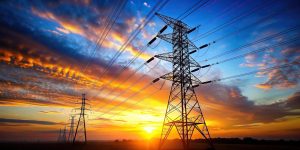
Oil and gas infrastructure operates across extensive areas, including industrial sites, communities, waterways and offshore environments. Monitoring these assets presents challenges for operators who rely solely on conventional inspections.
Security incidents, infrastructure damage and environmental hazards can disrupt operations and increase costs. A coordinated security strategy helps organizations improve awareness, identify issues that require investigation and make informed decisions.
Technology can complement established security teams by providing additional information about assets and their surroundings.
Drone Surveillance for Energy Infrastructure
Drones provide an aerial perspective for monitoring pipelines, wellheads, processing facilities and other energy infrastructure. They can capture high-resolution imagery for inspection, documentation and site assessment.
Geoinfotech provides specialized drone services for oil and gas in Nigeria. Its capabilities include UAV data collection, mapping and inspection, supported by technologies such as GIS, LiDAR, thermal imaging and photogrammetry.
These solutions can help operators improve infrastructure visibility and gather information for maintenance planning and security assessments.
GIS and Geospatial Intelligence
An effective energy security strategy also requires accurate information about where assets are located and how their surroundings change.
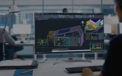
GIS allows organizations to map infrastructure, organize asset records and analyze geographic information. Combining drone imagery with spatial data can help teams document site conditions and understand relationships between facilities and their surrounding environments.
Through its GIS and geospatial analysis services, Geoinfotech supports mapping, spatial analysis, data management and visualization. These capabilities can contribute to infrastructure monitoring and evidence-based planning.
Real-Time Monitoring and Situational Awareness
Timely information is essential when organisations need to assess changing conditions. Real-time aerial monitoring can provide authorised stakeholders with visual information during suitable surveillance and inspection operations.
Geoinfotech’s drone livestreaming services can support live aerial viewing where project requirements and operating conditions permit.
When combined with GIS and established reporting procedures, aerial observations can help decision-makers determine when further inspection or response is necessary.
Building a Coordinated Security Strategy
Technology works best as part of a wider framework. Energy operators should combine aerial monitoring with trained personnel, established security procedures, asset inspections, incident reporting and cooperation with relevant authorities.
Regular reviews can help organizations assess whether their monitoring systems provide useful information and support operational objectives. Clear responsibilities and appropriate data management also help ensure that information reaches the people who need it.
Why Choose Geoinfotech?
Geoinfotech combines drone technology, GIS, remote sensing and geospatial expertise to support infrastructure monitoring across Nigeria.
For organizations seeking to strengthen their energy security strategy in Port Harcourt, these services can provide additional visibility across pipelines, facilities and other critical assets. They can also support inspection, mapping and informed infrastructure management.
Strengthen your energy infrastructure monitoring with Geoinfotech. Explore its drone and GIS solutions to discuss a technology-driven approach suited to your organization’s requirements.