
Geoinnovation Summit Returns, Targets National Security and Economic Development
Nigeria’s growing need for better security systems, reliable information and technology-driven development has made geospatial innovation increasingly important. From monitoring critical infrastructure to supporting urban planning, agriculture and emergency response, geospatial technology is creating new opportunities to address real-world challenges.
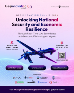
Against this backdrop, Geoinnovation Summit 3.0 returns to Lagos on November 27th–28th, 2026, bringing together industry leaders, technology experts, innovators, researchers and decision-makers to explore how real-time UAV surveillance and geospatial technology can contribute to national security and economic resilience in Nigeria.
Organised by Geoinfotech, this year’s summit will focus on the relationship between technology, security and economic development, creating a platform for conversations, knowledge exchange and collaboration across different sectors.
Geoinnovation Summit 3.0: A Renewed Focus on National Priorities
The 2026 edition is built around the theme:
“Unlocking National Security and Economic Resilience Through Real-Time UAV Surveillance and Geospatial Technology in Nigeria.”
The theme highlights the growing importance of accurate, timely and location-based information in decision-making.
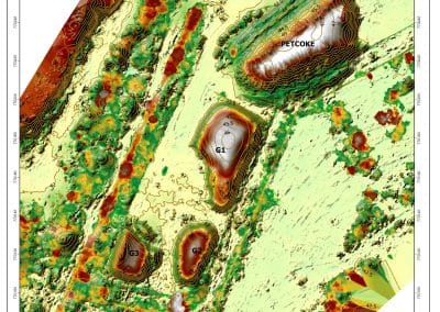
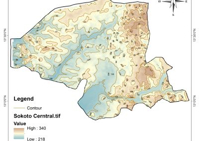
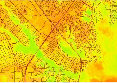
Security agencies, government institutions, businesses and development organizations increasingly need reliable information about what is happening on the ground. Geospatial technology can help provide that information through mapping, satellite imagery, geographic information systems (GIS), remote sensing and spatial data analysis.
By bringing these technologies into the conversation, Geoinnovation Summit 3.0 aims to explore practical ways innovation can support Nigeria’s security priorities and economic development.
Why UAV Surveillance Matters for National Security
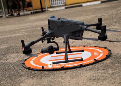
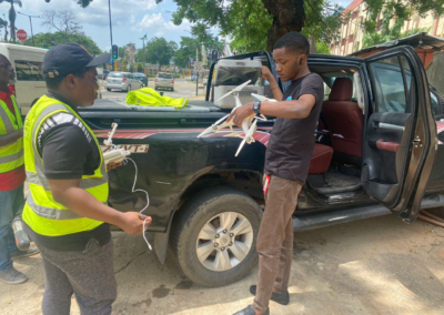
Unmanned Aerial Vehicles (UAVs), commonly known as drones, are changing how organizations observe, monitor and understand activities across large areas.
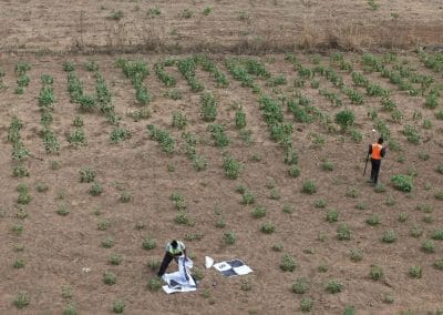
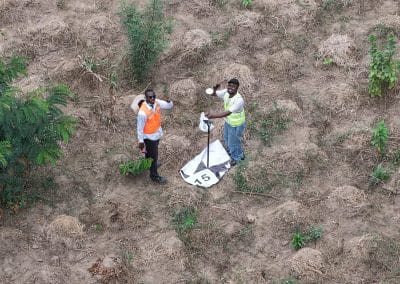
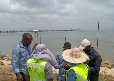
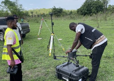
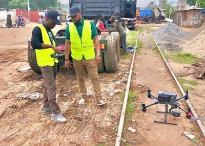
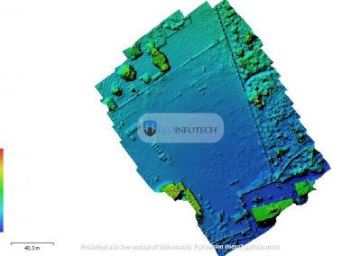
Equipped with cameras and specialized sensors, drones can collect aerial information that supports monitoring, inspection and assessment. When combined with geospatial technology, this information can be processed and analyzed to provide useful insights for decision-makers.
Potential applications include:
- Critical infrastructure monitoring: Supporting the inspection and monitoring of pipelines, power facilities, roads and other important assets.
- Border and territorial monitoring: Providing aerial information that can support surveillance and situational awareness.
- Environmental monitoring: Identifying changes in land cover, vegetation and environmental conditions.
- Emergency response: Supporting damage assessment and situational awareness during floods, fires and other emergencies.
- Urban monitoring: Helping authorities understand changes in settlements, infrastructure and land use.
These applications demonstrate why UAV surveillance and geospatial intelligence are important areas of discussion for Nigeria’s security and development sectors.
Connecting Geospatial Technology to Economic Development
Geospatial technology is not limited to security operations. It also has applications across industries that contribute to economic activity and national development.
In agriculture, spatial information can support farmland assessment, crop monitoring and resource management. In urban development, GIS can assist with infrastructure planning, land administration and service delivery.
Businesses can also use location intelligence to understand markets, identify suitable sites, manage assets and make more informed operational decisions.
Other important areas include:
- Transportation and logistics planning.
- Oil and gas infrastructure monitoring.
- Environmental and natural resource management.
- Smart city development.
- Disaster risk management.
- Land use planning and administration.
The summit provides an opportunity to examine how these applications can translate into practical solutions, stronger partnerships and new opportunities for innovation.
Bringing Industry Leaders and Technology Experts Together
One of the central purposes of Geoinnovation Summit 3.0 is to connect people and organizations working across geospatial technology, security, business, government and innovation.
The event is expected to bring together industry leaders and experts, researchers, policymakers, entrepreneurs, technology enthusiasts and professionals interested in the future of geospatial intelligence in Nigeria.
Through discussions, product showcases, emerging technologies, live drone displays and networking opportunities, attendees will have the opportunity to explore developments in the industry and connect with others working towards technology-driven solutions.
The summit also creates room for conversations between technology providers and organizations seeking solutions to operational, security and development challenges.
Competitions and Opportunities for Innovation
Geoinnovation Summit 3.0 also provides a platform for practical innovation through its associated competitions.
The Geoinnovation GIS Challenge 2026 encourages participants to develop geospatial solutions addressing challenges such as national security, infrastructure protection, disaster response, agriculture, environmental management and public safety.
The summit’s Drone Race Competition also highlights the practical and technical possibilities of drone technology through a team-based racing challenge.
These initiatives help create visibility for emerging talent and demonstrate how geospatial and UAV technologies can be applied beyond theory.
Interested participants should check the official summit website for updates on competition arrangements and registration availability.
Why Geoinnovation Summit 3.0 Matters to Nigeria
Nigeria faces complex development challenges that require reliable information, collaboration and innovative approaches.
Geospatial technology can support better planning and monitoring by helping organizations understand where challenges occur, how they change over time and where interventions may be needed.
However, technology adoption also requires awareness, technical skills, investment and cooperation between government, businesses, professionals and research institutions.
Geoinnovation Summit 3.0 offers a platform to bring these stakeholders together and examine how UAV surveillance and geospatial intelligence can contribute to a more secure and economically resilient Nigeria.
The discussions are particularly relevant as organizations explore ways to use real-time information, digital mapping and location-based analysis to improve their decisions.
Event Details: When and Where Is Geoinnovation Summit 2026?
The third edition of Geoinnovation Summit will take place in Lagos, bringing together stakeholders from across Nigeria’s geospatial and technology ecosystem.
Here are the event details:
- Event: Geoinnovation Summit 3.0
- Dates: November 27th–28th, 2026
- Venue: High Point Event Centre, Agidingbi, Ikeja, Lagos, Nigeria
- Organizer: Geoinfotech
- Theme: Unlocking National Security and Economic Resilience Through Real-Time UAV Surveillance and Geospatial Technology in Nigeria.
Be Part of the Conversation
The return of Geoinnovation Summit provides an opportunity for professionals, businesses, government representatives, researchers, students and technology enthusiasts to engage with conversations shaping the future of geospatial innovation in Nigeria.
Whether your interest is in GIS, remote sensing, UAV technology, infrastructure monitoring, national security or economic development, the summit offers an opportunity to learn, connect and explore emerging possibilities.
Join the conversation at Geoinnovation Summit 3.0 on November 27th–28th, 2026, in Lagos.
Visit the official website to find event information, check ticket availability and access registration instructions: