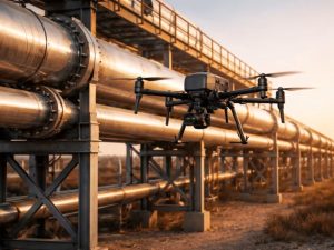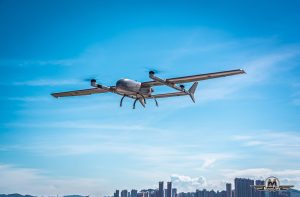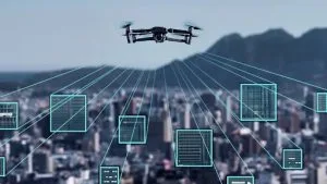
Drone monitoring in Port Harcourt.
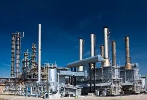
Port Harcourt is surrounded by complex infrastructure, including pipelines, refineries, storage facilities, industrial sites and transportation networks. Monitoring these assets requires timely information and a clear understanding of what is happening on the ground.
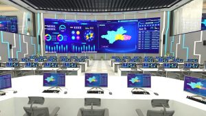
Drone monitoring in Port Harcourt provides a powerful way to gather aerial intelligence. When combined with GIS, remote sensing and data analytics, drone technology can turn aerial observations into useful information for infrastructure management and decision-making.
Real-Time Aerial Monitoring
Traditional inspections often provide information after a team reaches a location. Drones can provide aerial visibility much faster.
Modern UAV systems can capture high-resolution imagery and, where the equipment and operating conditions allow, transmit live video from the field. This gives authorized monitoring teams a current view of selected locations.
For large infrastructure networks, this can improve situational awareness and help teams determine where further investigation may be necessary.
Connecting Drone Data with GIS
Drone imagery becomes more useful when connected to geographic information.
GIS can link aerial observations to specific pipeline sections, facilities, roads, waterways and surrounding communities. Teams can then view where an observation occurred and compare it with existing infrastructure data.
This creates a spatial intelligence workflow rather than treating drone footage as isolated video.
AI for Faster Intelligence
Artificial intelligence can add another layer to drone monitoring. Computer vision and automated image analysis can help identify changes or unusual features within large volumes of aerial data.
For example, automated systems can assist with identifying changes around infrastructure corridors, vegetation disturbance or other visible anomalies.
Human review remains important. AI can help highlight areas that require attention, while trained personnel interpret the information and determine the appropriate action.
Supporting Oil and Gas Infrastructure
Drone monitoring has applications across the oil and gas sector. Operators can use UAVs for pipeline corridors, facilities, environmental assessments and infrastructure documentation.
Geoinfotech’s Drone Services for Oil and Gas in Nigeria combine UAV technology with GIS, LiDAR, thermal imaging and photogrammetry for infrastructure monitoring and spatial data collection.
This combination allows aerial information to become part of a wider geospatial workflow.
From Data Collection to Intelligence
The real value of drone monitoring does not come from collecting images alone. It comes from turning those images into useful intelligence.
A connected workflow can follow:
Drone Capture → Data Processing → GIS Integration → Analysis → Intelligence → Decision
This approach allows organizations to compare current observations with previous surveys and identify changes over time.
The Future of Drone Intelligence in Port Harcourt
As infrastructure networks become more complex, organizations need faster and more reliable ways to understand their operating environments.
Drone monitoring, GIS, remote sensing and AI can work together to provide multiple levels of visibility. Satellites can provide broad coverage, drones can provide detailed observations, and GIS can connect the information to specific locations and assets.
For Port Harcourt’s energy and industrial infrastructure, this integration can support better situational awareness, infrastructure monitoring, environmental assessment and informed decision-making.
The future of aerial intelligence is therefore not simply about flying drones. It is about connecting real-time observations with accurate spatial data and actionable intelligence.