


GIS for Economic Development in Africa: How Geospatial Technology Is Creating New Opportunities
Africa is a continent of enormous economic potential. From agriculture and natural resources to infrastructure, transportation, energy and urban development, its opportunities are vast. However, unlocking this potential requires accurate information, effective planning and better decision-making.
This is where Geographic Information Systems (GIS) become important.
GIS is changing how governments, businesses and development organizations understand locations, analyze resources and make decisions. By combining geographical data with information about people, infrastructure, businesses and the environment, GIS helps reveal opportunities that traditional data analysis may overlook.
Today, GIS is more than a mapping tool. It is an important technology for economic planning, investment, infrastructure development and sustainable growth.
But how exactly can GIS support economic development in Africa? And what opportunities does it create for governments, businesses and geospatial professionals?
Let’s explore.
1. What Is the Role of GIS in Economic Development?
Economic development involves improving the conditions that support productivity, employment, investment, infrastructure and quality of life.
Many of these activities have a geographical dimension.
Where should a new road be constructed? Which communities lack access to essential services? Where is agricultural land most productive? Which locations offer the best opportunities for investment?
GIS helps answer these questions by collecting, managing, analyzing and visualizing geographically referenced information.
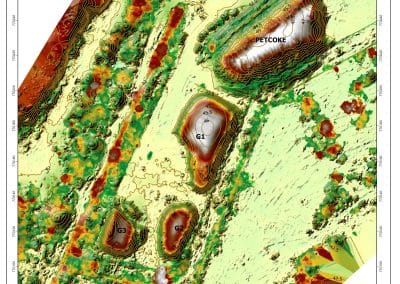
It allows decision-makers to understand where resources are located, identify development gaps and determine where investments could have the greatest impact.
Instead of relying only on general statistics, organizations can use spatial information to make more informed decisions.
2. Six Ways GIS Supports Economic Development in Africa
A. Agriculture and Food Security
Agriculture remains an important part of many African economies. However, farmers and agricultural organizations face challenges involving land suitability, changing weather conditions, water availability and crop productivity.
GIS and remote sensing help address these challenges through agricultural mapping and spatial analysis.
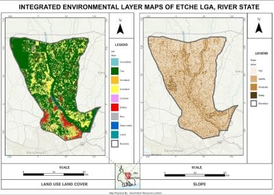
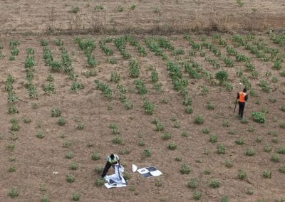
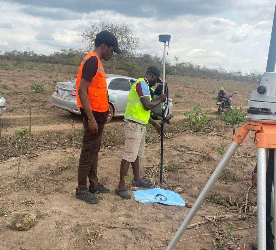
For example, GIS can help identify suitable farmland, monitor vegetation health, assess soil conditions, map irrigation systems and monitor changes in agricultural land.
When combined with satellite imagery and drone technology, these tools can provide valuable information for precision agriculture.
This can help farmers improve resource allocation, reduce operational costs and make better production decisions.
B. Infrastructure and Transportation Development
Roads, bridges, railways, electricity networks and telecommunications infrastructure are essential to economic growth.
GIS supports infrastructure planning by helping organizations identify suitable locations, assess accessibility and understand how proposed projects may affect surrounding communities.
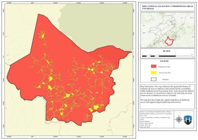
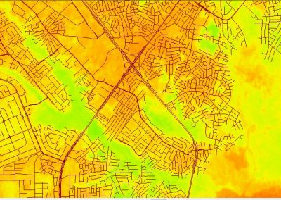
For example, spatial analysis can help identify underserved communities, evaluate road network coverage and determine suitable routes for new infrastructure.
It can also support monitoring during construction and maintenance.
Better infrastructure planning can improve connectivity, reduce transportation challenges and support business activities.
C. Urban Planning and Real Estate Investment
African cities are expanding rapidly, creating demand for housing, commercial properties, transportation and public services.
Without accurate spatial information, urban development can become difficult to manage.
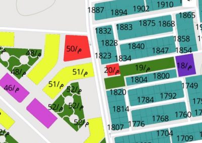
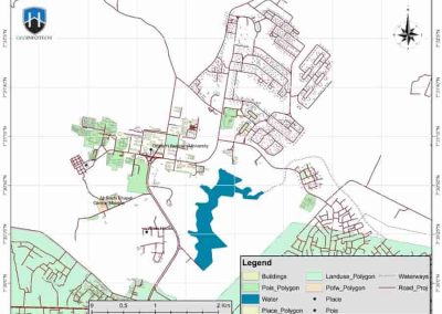
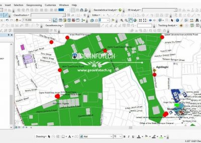
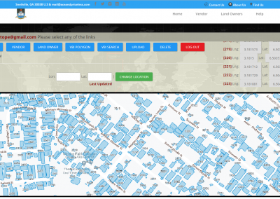
GIS helps urban planners understand land-use patterns, population distribution, infrastructure coverage and development trends.
Real estate investors can also use GIS to assess accessibility, proximity to services, neighborhood characteristics and potential development locations.
This makes spatial information valuable for property investment, land management and urban development.
D. Natural Resource Management
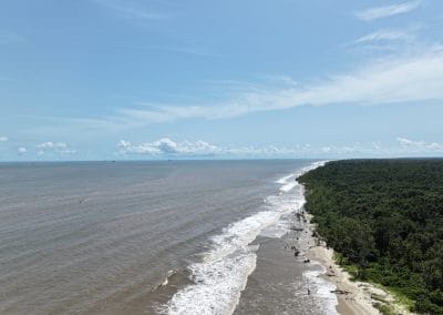
Africa has significant natural resources, including minerals, forests, water bodies and energy resources.
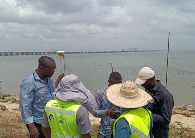
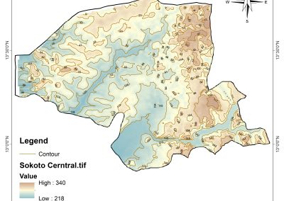
GIS helps governments and organizations map these resources, monitor their distribution and assess environmental changes.
For example, GIS can support mineral exploration, forest monitoring, watershed management and environmental impact assessments.
By combining satellite imagery, field surveys and spatial analysis, organizations can make better-informed decisions about resource utilization.
Responsible resource management can support economic activities while reducing environmental damage.
E. Energy and Power Development
Reliable electricity is essential for industrial growth, business operations and economic development.
GIS supports energy planning by helping organizations map power infrastructure, analyze electricity distribution and identify communities with limited access to energy.
It can also support renewable energy site selection.
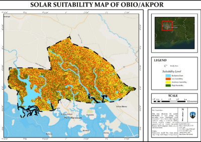
For example, solar energy projects can use spatial analysis to assess solar potential, land availability, accessibility and proximity to existing infrastructure.
These insights help organizations make better decisions when planning energy investments.
F. Business Location and Investment Planning
Location can significantly influence business performance.
GIS helps businesses analyze customer distribution, market accessibility, transportation networks, competition and population characteristics.
Retailers can identify potential locations for new outlets. Logistics companies can analyze delivery routes. Investors can assess areas with infrastructure advantages and development opportunities.
For governments and investment agencies, GIS can also help communicate the economic potential of different regions.
In this way, spatial intelligence supports more informed investment decisions.
3. How Emerging Technologies Are Expanding the Value of GIS
GIS is evolving beyond traditional mapping and spatial analysis.
New technologies are making geospatial information more detailed, accessible and useful for economic decision-making.
- Remote sensing: Satellite imagery provides information about land use, vegetation, environmental changes and infrastructure.
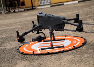
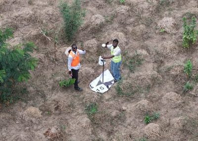
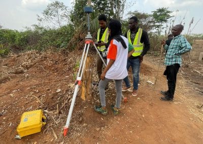
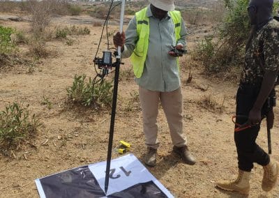
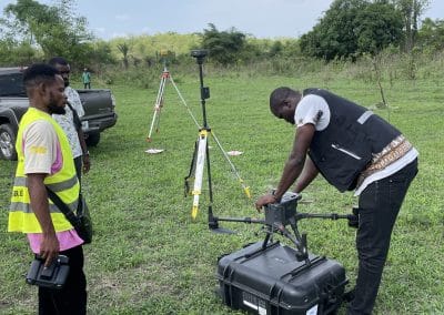
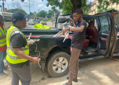
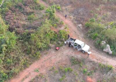
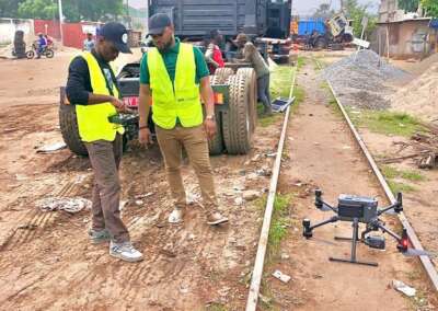
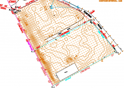
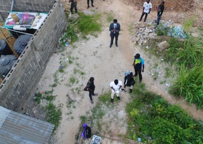
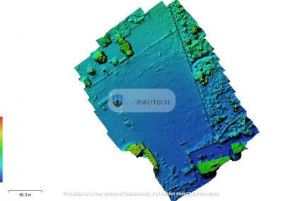
- Drone technology: UAVs collect high-resolution aerial data for surveying, mapping, agriculture and infrastructure monitoring.
- Artificial Intelligence and GeoAI: AI can help analyze large spatial datasets, identify patterns and support predictive modelling.
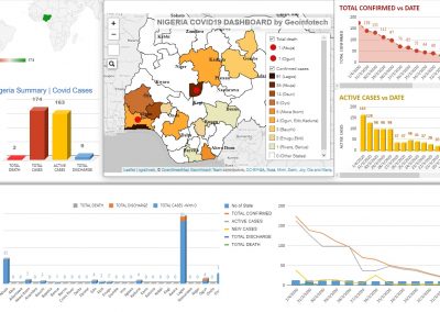
- Web GIS: Online mapping platforms allow organizations to access and share geographical information.
- Digital twins: Virtual representations of physical environments can support infrastructure monitoring, urban planning and asset management.
When these technologies work together, they create opportunities for more efficient planning and better-informed decisions.
4. Why Africa Needs More Geospatial Intelligence
Economic development requires reliable information.
Governments need accurate data to plan infrastructure. Businesses need location intelligence to identify investment opportunities. Agricultural organizations need spatial information to improve productivity. Development agencies need evidence to determine where interventions are most necessary.
GIS brings these different information sources together.
However, Africa still faces challenges involving data availability, outdated spatial datasets, limited technical capacity and the cost of geospatial infrastructure.
Addressing these challenges requires investment in technology, professional training, data infrastructure and collaboration between governments, businesses, universities and geospatial organizations.
The opportunity is significant: better spatial information can help turn development plans into more targeted, measurable actions.
5. GIS and the Future of Economic Development: The Geoinnovation Summit 3.0 Connection
The role of GIS in economic development connects directly with the wider conversation about technology, national security and economic resilience in Africa.
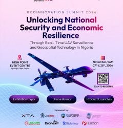
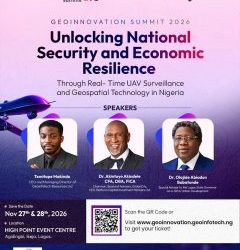
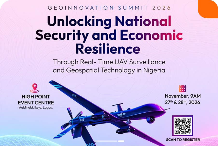
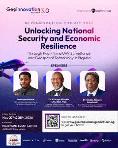
This is one of the important themes behind Geoinnovation Summit 3.0, taking place on November 27th–28th, 2026, at High Point Event Centre, Agidingbi, Ikeja, Lagos.
Organised by Geoinfotech, the summit is themed:
“Unlocking National Security and Economic Resilience Through Real-Time UAV Surveillance and Geospatial Technology in Nigeria.”
Although national security is a major focus, geospatial technology also has important implications for economic development.
Consider the connections:
- Infrastructure: UAVs, GIS and remote sensing can support the monitoring and management of critical infrastructure.
- Agriculture: Spatial data can help improve agricultural monitoring and resource management.
- Environmental protection: Geospatial intelligence can support the monitoring of natural resources and environmental risks.
- Investment: Better geographical information can help organizations understand development opportunities and infrastructure needs.
- Decision-making: Real-time spatial information can support faster and more informed responses to changing conditions.
The summit will bring together industry leaders, technology experts, innovators, researchers and decision-makers for discussions, technical sessions, masterclasses, product showcases, exhibitions, live drone displays and networking opportunities.
For GIS professionals, remote sensing specialists, UAV operators, policymakers, technology businesses and researchers, it offers an opportunity to explore how geospatial innovation can address real challenges and contribute to economic resilience.
Because the future of Africa’s economic development will depend not only on the resources available, but also on how effectively we use information and technology to manage them.
Discover Geoinnovation Summit 3.0 and check the latest registration information:
https://geoinnovation.geoinfotech.ng/
Conclusion
GIS is becoming an important part of Africa’s economic development.
From agriculture and infrastructure to energy, urban planning, natural resource management and investment, geospatial technology helps organizations understand challenges and identify opportunities.
As technologies such as UAVs, remote sensing, GeoAI and digital twins continue to advance, the potential applications of GIS will expand even further.
However, unlocking this potential requires better spatial data, skilled professionals, investment and collaboration.
This is why conversations about geospatial innovation matter.
At Geoinnovation Summit 3.0, stakeholders will explore how real-time UAV surveillance and geospatial technology can support national security and economic resilience in Nigeria.
Africa has enormous development opportunities. GIS helps us understand where those opportunities exist and how to make better decisions to unlock them.
Join the conversation in Lagos on November 27th–28th, 2026.