



What Are the Key Benefits of Attending a Geospatial Technology Summit?
Geospatial technology is changing how organizations understand locations, manage resources, protect infrastructure and make important decisions. From Geographic Information Systems (GIS) and remote sensing to drone technology, satellite imagery and artificial intelligence, these tools are creating opportunities across different industries.
However, keeping up with these developments requires more than reading articles or watching online tutorials. Professionals, students, business owners and decision-makers also need opportunities to learn from industry experts, explore new technologies and connect with others in the field.
This is where a geospatial technology summit becomes valuable.
A geospatial technology summit brings together professionals, researchers, technology companies, government representatives and innovators. Through discussions and demonstrations, participants explore new developments and discover how location-based technologies can address real-world challenges.
But what exactly can attendees gain from participating in one?
Here are eight important benefits of attending a geospatial technology summit.
1. Learn About Emerging Geospatial Technologies
One major benefit of attending a geospatial technology summit is gaining exposure to new tools and industry developments.
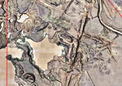
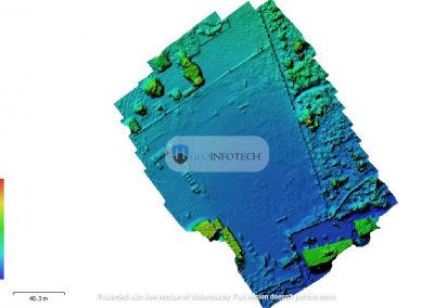
The geospatial sector continues to evolve. Technologies such as drone mapping, LiDAR, remote sensing, GeoAI, real-time surveillance and advanced spatial analytics are expanding what professionals can achieve.
Through expert presentations, technical discussions and product demonstrations, attendees can understand how these technologies work and where they are being applied.
Furthermore, practical sessions provide opportunities to explore their potential applications. This exposure can help professionals identify tools and approaches that may improve their work.
2. Build Valuable Industry Connections
Professional relationships play an important role in career and business development.
A geospatial technology summit brings together people from different parts of the industry. Participants may include GIS specialists, drone operators, surveyors, engineers, researchers, government representatives and business leaders.
Meeting these individuals creates opportunities to:
- Connect with potential clients and business partners.
- Meet professionals with similar interests.
- Exchange ideas and industry experiences.
- Discover opportunities for collaboration.
- Build relationships with technology providers.
For businesses, these connections may lead to partnerships and new projects. Meanwhile, students and early-career professionals can gain access to industry knowledge, mentors and professional networks.
3. Gain Practical Knowledge Through Masterclasses and Technical Sessions
Beyond networking, professional development is another important reason to attend.
Geospatial technology is a hands-on field. Understanding GIS, remote sensing, UAV operations and spatial analysis is important. However, knowing how to apply these concepts is equally valuable.
Through technical sessions and masterclasses, attendees can explore practical workflows and learn from experienced professionals.
Depending on the program, topics may include:
- Geographic Information Systems (GIS).
- Remote sensing and satellite imagery.
- Drone mapping and UAV operations.
- LiDAR and 3D mapping.
- Artificial intelligence in geospatial applications.
- Geospatial intelligence and spatial analytics.
Consequently, these learning opportunities can strengthen technical knowledge and help professionals identify areas for further development.
4. Discover New Products and Technology Solutions
Another advantage of attending a geospatial technology summit is the opportunity to explore products from technology companies, equipment providers and service organizations.
This is particularly useful for businesses and professionals seeking to improve their operations.
Rather than relying solely on product descriptions, attendees may watch demonstrations and ask questions directly to providers.
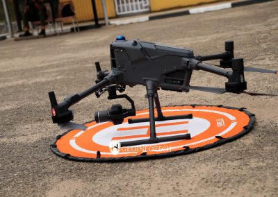
For example, available showcases may feature drone platforms, mapping equipment, surveillance systems, geospatial software and data-processing solutions.
As a result, organizations can better understand available options before making technology or investment decisions.
5. Identify New Business and Career Opportunities
A geospatial technology summit can also create opportunities for professional and commercial growth.
For business owners, the event provides a platform to meet potential customers, understand market needs and introduce their services. Additionally, connecting with other organizations may lead to future projects and partnerships.
Professionals, on the other hand, can gain exposure to employers, industry leaders and emerging areas of specialization.
Students and graduates also benefit by discovering career pathways and understanding the skills employers value.
Whether your goal is to grow a business, advance your career or explore a new area, attending a summit can introduce opportunities beyond your usual professional network.
6. Understand How Geospatial Technology Solves Real-World Problems
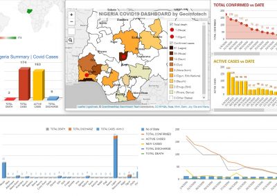
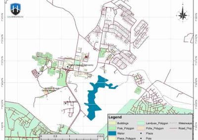
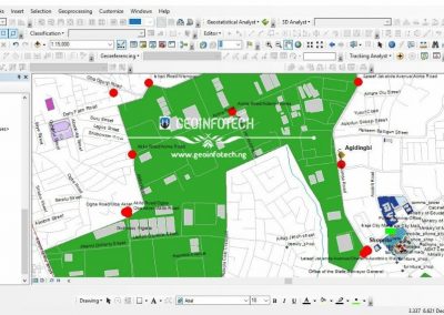
Geospatial technology extends far beyond producing maps. Today, it supports decisions across several important sectors.
At industry summits, participants can explore how location-based information contributes to practical solutions.
Some key application areas include:
National security: UAV surveillance and geospatial intelligence can support situational awareness, monitoring and security planning.
Infrastructure management: GIS, drone surveys and spatial data can assist with infrastructure mapping, asset monitoring and maintenance planning.
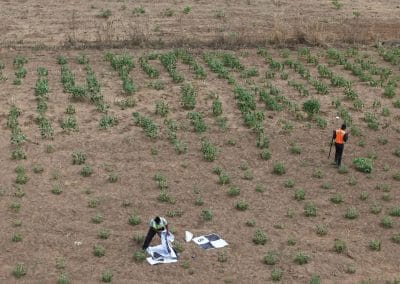
Agriculture: Remote sensing and spatial analysis can help monitor farmland, assess crop conditions and improve agricultural planning.
Environmental management: Satellite imagery and GIS can support land-use monitoring, environmental assessment and natural-resource management.
Urban development: Geospatial data can contribute to land administration, transportation, urban planning and infrastructure development.
Understanding these applications helps attendees connect their technical knowledge with broader economic and social needs.
7. Gain Insights From Industry Experts
Learning directly from experienced professionals is another valuable benefit.
Through keynote presentations, panel discussions and technical sessions, attendees can hear different perspectives on current challenges and emerging opportunities.
These conversations may provide insights into:
- Challenges affecting the geospatial industry.
- New applications of UAV and GIS technology.
- The relationship between geospatial intelligence and national security.
- Opportunities for innovation and investment.
- Skills and technologies likely to become increasingly important.
Furthermore, expert perspectives can help participants make better decisions about their careers, businesses and projects.
8. Stay Competitive in a Rapidly Changing Industry
Technology continues to change how organizations collect, process and use spatial information.
Consequently, professionals who regularly update their knowledge are better positioned to adapt to new tools, workflows and industry expectations.
Attending a geospatial technology summit can help participants understand emerging trends, discover new approaches and identify valuable skills to develop.
For organizations, this knowledge may support technology adoption and operational improvements. Similarly, individuals can strengthen their professional development and remain relevant in a competitive job market.
Why Attend Geoinnovation Summit 3.0 in Lagos?
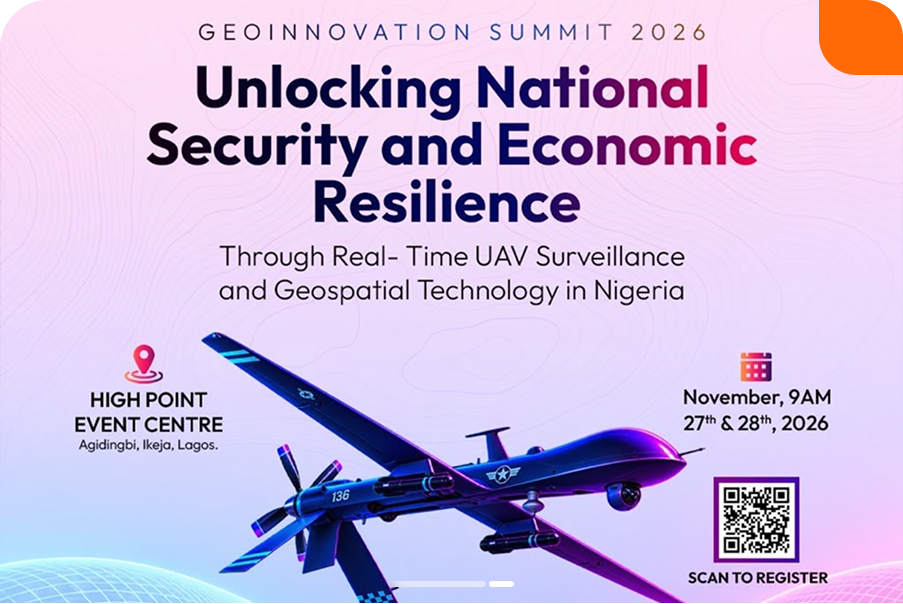
If you want to experience these benefits, Geoinnovation Summit 3.0 is an event worth considering.
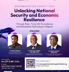
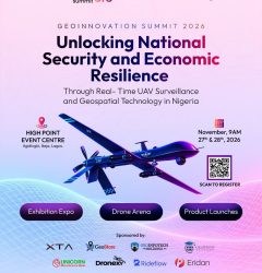
Organized by Geoinfotech, the summit will take place on November 27th–28th, 2026, at High Point Event Centre, Agidingbi, Ikeja, Lagos, Nigeria.
Its central theme is:
“Unlocking National Security and Economic Resilience Through Real-Time UAV Surveillance and Geospatial Technology in Nigeria.”
The event will bring together industry leaders, technology experts, innovators, researchers, professionals and decision-makers. Together, they will explore how UAV surveillance and geospatial technology can support national security and economic resilience.
According to the event brochure, attendees can look forward to:
- Main-stage sessions: Keynotes, panel discussions and technical presentations featuring speakers from defense, government, engineering and industry.
- Masterclasses: Practical learning opportunities, including a dedicated GeoAI track.
- Product launches and demonstrations: Opportunities to explore surveillance, mapping and GeoAI solutions.
- Exhibition expo: A platform for discovering technology, hardware and services from exhibitors and partners.
- Drone arena: Activities including the Drone Speed and Precision Challenge, Geoinnovation GIS Challenge and Inter-Institutional GIS Challenge.
- Business connections: B2B meetings, networking opportunities and a Business Connection Zone.
The summit is relevant to GIS and remote-sensing professionals, UAV operators, engineers, technology developers, policymakers, security experts, business leaders, students and researchers.
Ultimately, it offers an opportunity to explore how geospatial innovation can address practical challenges and contribute to Nigeria’s development.
How Can Geoinfotech Support Your Geospatial Technology Needs?
Beyond industry events, organizations often require professional support to turn geospatial technology into practical solutions.
Geoinfotech operates within the geospatial technology sector, making the company relevant to organizations exploring GIS, UAV and other geospatial applications.
Whether your organization needs drone-based data collection, geospatial mapping, spatial analysis or location-based technology solutions, working with an experienced provider can help identify an appropriate approach.
Additionally, the summit creates an opportunity to engage with industry professionals and explore how geospatial solutions can support organizational goals.
To learn more about Geoinfotech’s services and solutions, visit the official website:
Is Attending a Geospatial Technology Summit Worth It?
Yes. Attending can be valuable if you want to explore emerging technologies, build professional relationships, discover business opportunities or understand how geospatial solutions are applied across different industries.
More importantly, a summit offers more than presentations. It creates an environment for exchanging ideas, exploring technology, meeting potential collaborators and gaining insights that may influence future career or business decisions.
For students, participation provides industry exposure. Professionals gain opportunities for continuous learning, while businesses can discover solutions and establish partnerships.
As geospatial technology continues to influence national development, infrastructure, security, agriculture and environmental management, industry events provide a useful way to remain informed and connected.
Join Geoinnovation Summit 3.0 on November 27th–28th, 2026, at High Point Event Centre, Ikeja, Lagos.
Visit https://geoinnovation.geoinfotech.ng/ for event information and current registration details.