


Geoinnovation Summit 3.0: Lagos to Host Major Geospatial Convergence Again in November
Geoinnovation Summit 3.0: Lagos to Host Major Geospatial Convergence Again in November
Lagos is set to welcome professionals, innovators, technology experts and decision-makers from across Nigeria. They will gather for Geoinnovation Summit 3.0, returning on November 27th–28h, 2026.
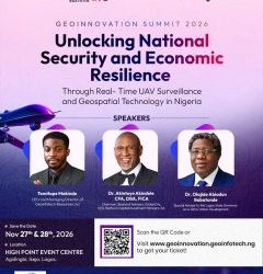
Organized by Geoinfotech, the two-day event will take place at High Point Event Centre, Agidingbi, Ikeja, Lagos. It will bring together experts from several technology fields. These include geospatial technology, Geographic Information Systems (GIS), remote sensing and unmanned aerial vehicles (UAVs).
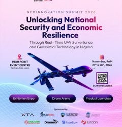
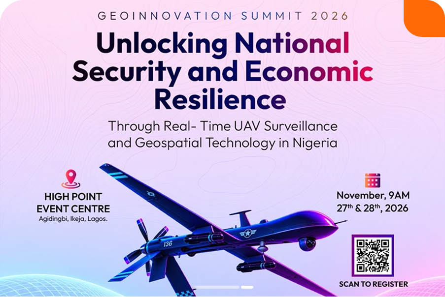
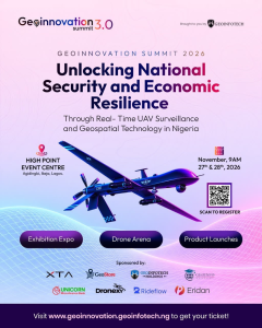
This year’s theme is “Unlocking National Security and Economic Resilience Through Real-Time UAV Surveillance and Geospatial Technology in Nigeria.” Through this theme, the summit will explore the role of location intelligence in national development. It will also examine ways to improve security operations and strengthen economic resilience.
Furthermore, the event will create opportunities for Nigeria’s growing geospatial community. Participants can connect, exchange ideas and explore practical technology applications.
Lagos Takes Centre Stage in Nigeria’s Geospatial Technology Conversation
Lagos remains an important center for business, technology and innovation in Nigeria. Its diverse business environment attracts technology-driven organizations. Consequently, it provides a suitable setting for conversations about emerging industries.
Hosting Geoinnovation Summit 3.0 in Lagos will bring professionals together from different parts of the country. It will also connect them with the wider geospatial ecosystem.
However, the summit is not limited to GIS specialists. Its focus extends across several industries. These include security, infrastructure, urban development, agriculture and environmental management. Logistics and business operations are also relevant.
By bringing these sectors together, the event aims to encourage meaningful discussions. In particular, it will explore how geospatial intelligence can address challenges facing organizations and communities.
Why Geospatial Technology Matters to Nigeria
Geospatial technology plays an increasingly important role in decision-making. Governments and businesses use it to understand locations and monitor activities. It also helps organizations manage valuable assets.
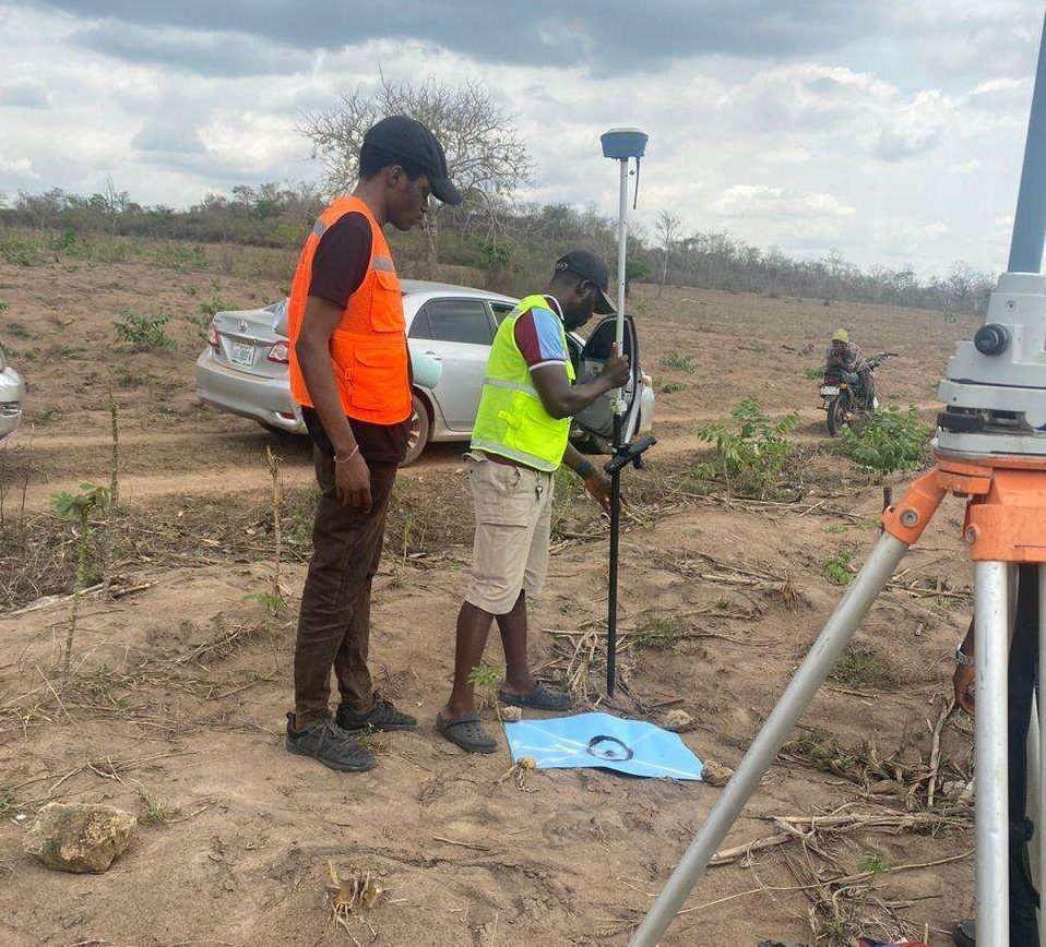
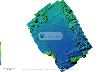
Through GIS, satellite imagery, remote sensing and drone technology, users can gather useful information. Furthermore, spatial data analysis helps identify patterns and monitor changes. These insights support better planning and decision-making.
In Nigeria, these technologies have applications across several important sectors.
National security: Geospatial intelligence and UAV surveillance can improve situational awareness. They can also support monitoring and the identification of potential security concerns.
Infrastructure management: Location-based information helps organizations monitor roads, pipelines and power infrastructure. As a result, they can improve asset management and maintenance planning.
Agriculture: Satellite imagery and drone surveys support farmland monitoring. In addition, spatial analysis helps with crop assessment and agricultural planning.
Environmental management: Geospatial tools help track land-use changes and assess environmental conditions. They can also identify areas exposed to environmental risks.
Urban development: GIS supports land administration and spatial planning. Moreover, it helps manage infrastructure development in growing urban areas.
These applications show that geospatial technology goes beyond map production. More importantly, it supports operational efficiency, public safety and economic development.
The Focus of Geoinnovation Summit 3.0: UAV Surveillance and Geospatial Intelligence
A major highlight of Geoinnovation Summit 3.0 is its focus on real-time UAV surveillance. The event will also explore the wider applications of geospatial technology.
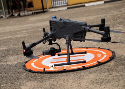
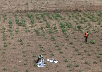
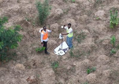
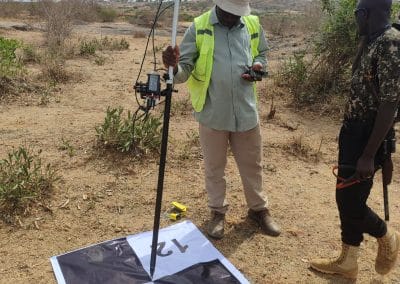
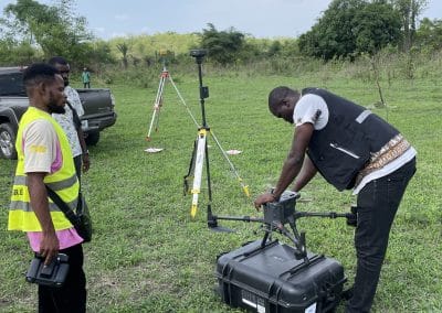
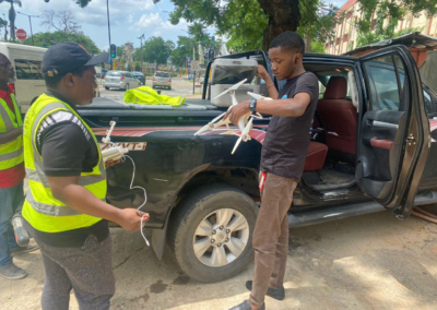
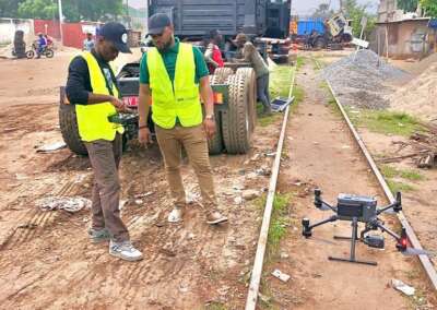
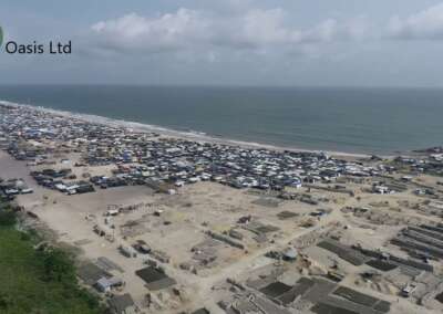
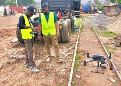
Unmanned aerial vehicles, commonly called drones, are changing how organizations collect information. They also make it easier to monitor large or difficult-to-access areas.
When combined with geospatial intelligence, drone data becomes even more valuable. For instance, it can support surveillance and infrastructure inspection. It can also assist environmental monitoring and emergency response.
In the oil and gas sector, drones can help inspect critical infrastructure. Similarly, construction companies can monitor project activities. Farmers can also use aerial data to survey agricultural land.
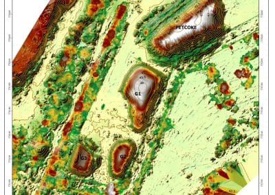
Meanwhile, geospatial intelligence helps users analyze and interpret collected information. It also allows them to visualize location-based data. Consequently, decision-makers can gain a clearer understanding of conditions on the ground.
The summit’s theme connects these technologies to Nigeria’s wider security and economic priorities. It also creates opportunities to discuss practical solutions. Rather than focusing only on theory, participants can explore real-world applications.
Bringing Industry Leaders, Experts and Innovators Together
Technology summits create opportunities for knowledge exchange. They also connect people with different professional experiences.
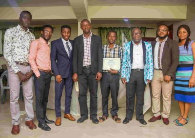
Geoinnovation Summit 3.0 is expected to bring together industry leaders and geospatial professionals. Government representatives, researchers and entrepreneurs will also be part of the gathering. In addition, technology enthusiasts and other stakeholders are expected to participate.
The growing speaker lineup will feature industry leaders and experts. They will contribute perspectives on geospatial innovation and UAV surveillance. Discussions will also address national security and economic development.
Beyond these conversations, participants can explore product showcases and emerging technologies. They will also have opportunities to network with other professionals. Furthermore, these interactions could create opportunities for future collaborations.
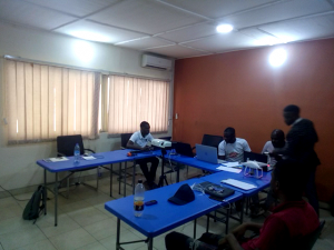
For students and early-career professionals, the summit offers additional benefits. They can learn about industry developments and career opportunities. They can also interact with experienced professionals working in the field.
Competitions and Practical Innovation at the Summit
Geoinnovation Summit 3.0 will also highlight practical innovation. It will feature two major activities: the GIS Challenge and Drone Race Competition.
The Geoinnovation GIS Challenge 2026 invites participants to develop solutions to relevant challenges in Nigeria. Its focus areas include national and border security. Other areas include critical infrastructure protection, disaster response and agriculture.
Environmental security, public safety and emerging geospatial technologies are also included. Through this challenge, participants can demonstrate their technical and problem-solving skills.
The competition offers a total prize pool of ₦600,000. Additionally, top-performing participants will have opportunities to showcase their work at the summit.
Meanwhile, the Drone Race Competition will test participants’ piloting abilities. Teams will demonstrate speed, precision and control. They will compete using a gated race course.
The competition has a total prize pool of ₦1.6 million. As a result, it offers an exciting opportunity for drone enthusiasts and skilled pilots.
Together, these activities promote practical skills and creativity. They also encourage technology development within Nigeria’s geospatial and UAV communities.
However, competition registration and participation deadlines may differ. Therefore, interested participants should check the official summit website. This will help them access the latest information and availability.
Who Should Attend Geoinnovation Summit 3.0?
The summit welcomes people from different professional and academic backgrounds. It is particularly relevant to those interested in technology and innovation.
Potential attendees include:
- GIS analysts, geographers and geospatial professionals.
- Remote sensing specialists and UAV pilots.
- Students and recent graduates interested in geospatial careers.
- Government agencies and policymakers.
- Security and defense professionals.
- Business owners, entrepreneurs and corporate organizations.
- Technology developers, researchers and innovators.
- Anyone interested in geospatial technology and national development.
Importantly, you do not need to work directly with GIS to attend. The summit also welcomes people interested in understanding location-based technologies.
Therefore, whether you are a student, professional or business owner, you can benefit from participating. It offers an opportunity to learn, connect and explore industry developments.
Event Details: Date, Venue and Registration
Geoinnovation Summit 3.0 will take place over two days in Lagos. Below are the key details to remember.
Event: Geoinnovation Summit 3.0
Date: November 27th–28th, 2026
Venue: High Point Event Centre, Agidingbi, Ikeja, Lagos, Nigeria
Organizer: Geoinfotech
Theme: Unlocking National Security and Economic Resilience Through Real-Time UAV Surveillance and Geospatial Technology in Nigeria.
For registration, ticket information and further announcements, visit the official event website:
https://geoinnovation.geoinfotech.ng
Be Part of Nigeria’s Geospatial Innovation Conversation
Geospatial technology continues to influence several important industries. These include security, infrastructure and environmental management. It is also becoming increasingly relevant to economic development.
As a result, opportunities for collaboration and knowledge exchange matter more than ever. Professionals need platforms where they can share ideas and explore new solutions.
Geoinnovation Summit 3.0 provides such a platform in Lagos. It aims to connect professionals, decision-makers, innovators and technology enthusiasts. Together, they can explore opportunities shaping Nigeria’s geospatial future.
Furthermore, the event offers opportunities to discover emerging technologies. Participants can also build professional relationships and gain industry insights.
If you are interested in GIS, UAV technology or remote sensing, consider attending. The wider technology industry also has a place in this conversation.
Join Geoinnovation Summit 3.0 on November 27th–28th, 2026, at High Point Event Centre, Ikeja, Lagos.
Visit https://geoinnovation.geoinfotech.ng to learn more and secure your participation.