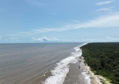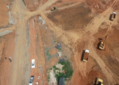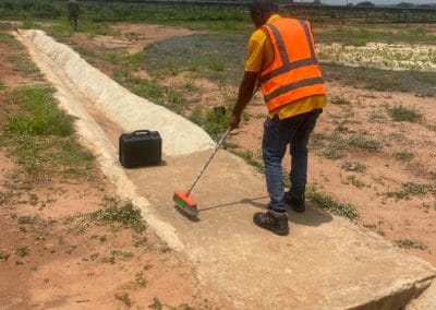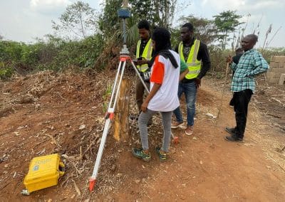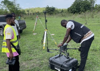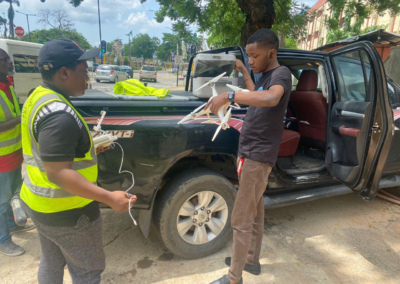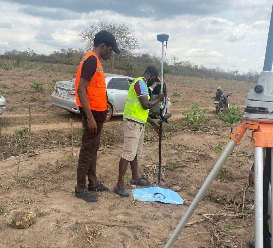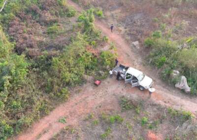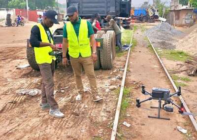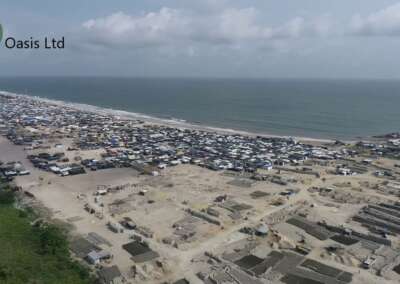

Oil and gas companies manage critical infrastructure that requires regular monitoring and protection. Pipelines, flow stations, refineries, storage terminals and processing facilities often cover large areas. Some assets also sit in remote locations where ground inspections can take considerable time and resources.
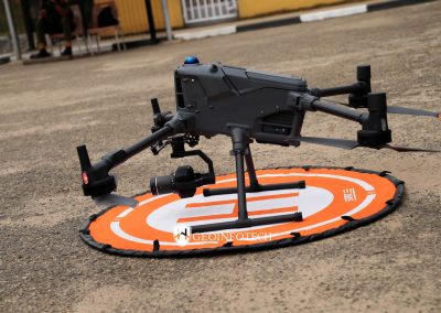
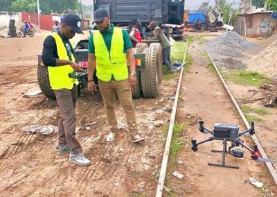
Real-time threat monitoring for oil and gas assets using drones gives operators another way to observe infrastructure, review potential security concerns and collect aerial information. Equipped with suitable cameras and sensors, drones can transmit live video to authorised personnel during a flight. This helps monitoring teams assess visible conditions and decide whether further investigation is necessary.
In Nigeria, where oil and gas infrastructure supports important industrial and economic activities, timely information can help companies plan inspections and coordinate their response to potential incidents.
Geoinfotech offers drone services for oil and gas, drone livestreaming and geospatial solutions that businesses can explore when planning their infrastructure monitoring programmes.
What Is Real-Time Threat Monitoring Using Drones?
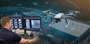
Real-time threat monitoring using drones involves observing selected areas with an unmanned aerial vehicle (UAV) and reviewing the available footage or sensor data while the mission is underway.
Unlike a workflow that relies only on reviewing recordings after a flight, live monitoring allows authorised personnel to view aerial video during an operation. This can help them assess a reported concern, examine visible changes and coordinate the next steps.
Depending on the equipment and project scope, a drone may support monitoring of:
- Pipeline corridors and rights of way.
- Oil and gas facility boundaries.
- Access roads and external infrastructure.
- Storage terminals and selected industrial assets.
- Areas where an incident or unusual condition has been reported.
Real-time monitoring does not automatically mean that the drone identifies threats without human involvement. Unless the system includes suitable automated detection technology, operators must review the footage and interpret what they observe.
Why Oil and Gas Assets Need Real-Time Threat Monitoring
Oil and gas infrastructure faces a range of operational and security challenges. These may include unauthorised access, visible pipeline corridor disturbances, equipment damage, environmental incidents and activities that require closer investigation.
Large sites can make it difficult for security teams to observe every area from fixed positions. Remote pipeline sections can also be challenging to inspect frequently.
Drone monitoring provides a mobile aerial viewpoint that can complement existing security systems.
1. Pipeline corridor surveillance
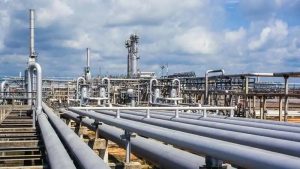
Pipeline corridors may pass through vegetation, farmland, waterways, settlements and remote terrain. These conditions can make regular observation difficult.
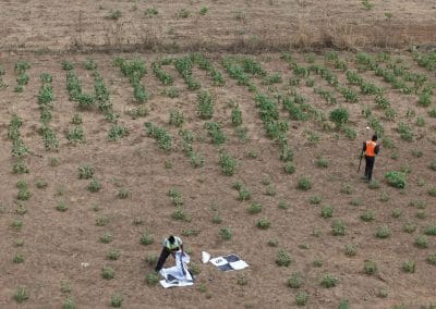
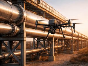
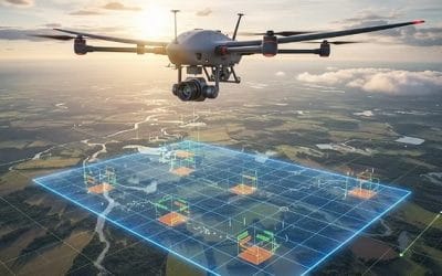
Drone flights can capture aerial imagery of selected sections and help operators identify visible changes that warrant further investigation. Examples include encroachment, excavation, erosion, damaged access routes or other unusual surface conditions.
Where live video is available, authorised personnel can review the imagery during the flight and identify areas for closer inspection.
Drone imagery cannot confirm the internal condition of a buried pipeline. Operators still need appropriate technical inspections and verification procedures to assess pipeline integrity.
2. Monitoring oil and gas facilities
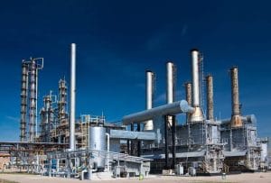
Refineries, flow stations, compressor stations and storage terminals contain equipment and structures that require ongoing observation.
A drone can provide aerial views of selected external areas, helping teams assess visible conditions and document concerns.
The inspection plan should account for facility access restrictions, operational hazards, nearby personnel and applicable drone flight requirements.
3. Identifying suspicious activity
Aerial video may help authorised security teams observe activity around selected boundaries, access routes or restricted areas.
When operators notice something unusual, they can review the footage and follow the facility’s established verification and escalation procedures.
However, a camera feed alone may not establish a person’s identity, intent or whether an incident has occurred. Teams should verify concerns before taking action.
4. Assessing reported incidents
When personnel report a possible security or infrastructure incident, a suitable drone may provide an additional viewpoint.
If live transmission is available, authorised decision-makers can observe the affected area during the mission. They can then determine whether to request a closer inspection, dispatch personnel or follow another approved response procedure.
Drones support situational awareness; they do not replace emergency response plans or specialist inspection methods.
How Real-Time Drone Threat Monitoring Works
A successful monitoring operation combines suitable equipment, flight planning, communications and a clear process for reviewing findings.
Step 1: Identify the assets and risks
The company identifies the pipeline sections, facility boundaries, storage areas or other assets that need monitoring.
The project team should also define the risks it wants to assess and the information required to support decisions.
Step 2: Plan the flight
The drone operator prepares a mission plan based on the target area, site conditions, operational objectives and applicable aviation requirements.
The plan should establish the permitted flight area, expected duration, communications arrangements and safety procedures.
Step 3: Capture aerial data
The drone uses its onboard camera or suitable sensors to collect imagery. Depending on the equipment, this may include standard video, high-resolution photographs or thermal images.
Each sensor has different capabilities. Optical cameras show visible details, while thermal cameras reveal temperature patterns. Neither technology automatically detects every security or equipment threat.
Step 4: Transmit live footage
Where the drone and monitoring platform support livestreaming, the video feed can be transmitted to authorised remote viewers.
This can help teams review the same aerial view while the mission is underway. However, the quality and availability of the feed depend on connectivity, transmission equipment, terrain and operating conditions.
Geoinfotech’s drone livestreaming service in Nigeria is relevant to organisations that need live aerial video during suitable operations.
Step 5: Review and verify observations
The monitoring team reviews the footage and documents observations that require attention.
If the imagery suggests a possible threat, the team follows its established verification process. This may involve a closer drone inspection, a ground team, a specialist assessment or another approved response.
Step 6: Record findings and plan follow-up
Teams can store relevant imagery, location information and inspection reports for future review.
When these records are organised using suitable GIS or asset management tools, operators can compare observations across inspection periods and identify areas that need further attention.
Key Technologies for Oil and Gas Threat Monitoring
High-resolution optical cameras
Optical cameras capture visible details of facilities, equipment, access roads and surrounding areas. They help operators document conditions and review activity within the camera’s effective range.
Image quality depends on resolution, lens performance, distance, lighting, movement and environmental conditions.
Thermal imaging cameras
Thermal cameras detect infrared radiation and display temperature differences. They can help identify unusual thermal patterns around suitable equipment and structures.
Thermal imaging may support selected maintenance and inspection tasks, but a temperature anomaly does not automatically confirm a fault or security threat.
Live video transmission
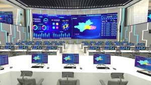
Live video allows authorised personnel to observe footage while a drone is operating. This can support remote assessment and coordination.
Before deployment, confirm the transmission platform, network requirements, access controls and whether the service supports the intended camera configuration.
GPS and GIS integration
GPS and geospatial data help teams relate aerial imagery to specific locations. GIS can organise pipeline routes, facility boundaries, asset records and inspection observations.
This makes it easier to identify where an observation occurred and plan follow-up work.
Automated detection and alerts
Some surveillance systems can analyse video or sensor data and generate alerts when defined conditions occur. However, automated detection depends on the software, sensor inputs, configuration and testing.
Do not assume that a drone livestreaming service automatically includes AI-based threat recognition, intrusion alerts or integration with an existing alarm system. Confirm these features with the provider before making them part of the project requirements.
Benefits of Real-Time Drone Monitoring for Oil and Gas Companies
Faster access to visual information
Live footage lets authorised personnel review aerial observations during a mission rather than relying exclusively on recordings delivered later.
This can help teams assess a reported concern and decide what to investigate next.
Better visibility across large areas
Drones can provide aerial views of selected areas that may be difficult to observe from fixed cameras or ground positions.
This is particularly useful when monitoring extensive pipeline corridors, remote infrastructure and large industrial sites.
Support for safer inspections
Drone imagery can help teams assess some locations before sending personnel to inspect them directly. This may reduce exposure to selected access hazards.
However, drone operations still require trained operators, suitable flight planning and compliance with facility safety procedures.
Improved incident documentation
Photographs, video and location information can help teams document what they observed during an inspection.
When teams store records consistently, they can compare site conditions over time and support future investigations.
Better coordination between teams
Live video can give authorised personnel a shared view of an area during a mission. This may improve communication between field operators, security personnel, engineers and managers.
The organisation should define who reviews the feed, who verifies an alert and who authorises further action.
Can Drones Provide Continuous 24/7 Threat Monitoring?
Drones can contribute to a continuous security programme, but ordinary battery-powered aircraft generally cannot remain airborne without interruption for 24 hours.
A 24/7 monitoring strategy may combine fixed CCTV cameras, ground sensors, scheduled drone patrols, on-demand flights and other surveillance systems.
Specialised drone docking, charging or tethered platforms may support extended operations under suitable conditions. Each option has different technical, staffing and infrastructure requirements.
Before choosing a solution, clarify whether you need live video during scheduled flights, regular patrols, on-demand aerial assessment or continuous coverage across multiple systems.
Also consider weather, battery changes, maintenance, network interruptions and periods when drone flights cannot operate.
Applications Across Nigeria’s Oil and Gas Sector
Niger Delta pipeline networks
Pipeline operators in the Niger Delta may need to observe corridors that cross remote communities, vegetation and waterways.
Drone imagery can help document visible changes along selected sections and identify locations that warrant closer assessment. GIS can connect those observations to pipeline routes and surrounding land features.
Aerial surveillance can support environmental assessment, but suspected leaks or contamination require appropriate verification. Where necessary, qualified specialists should carry out field inspections, sampling and laboratory analysis.
Flow stations and processing facilities
Flow stations and processing plants contain equipment, access routes and external structures that require regular observation.
Drone missions can provide aerial imagery of selected areas and help teams document visible conditions. Facility rules and flight restrictions must guide each operation.
Storage terminals and tank farms
Large storage sites may benefit from aerial observations of external structures and surrounding areas.
Drone footage can help operators review visible conditions and document areas requiring further inspection. It does not replace required structural testing or specialist asset integrity assessments.
Remote energy infrastructure
Some assets are far from central offices or transport routes. Live aerial video can help authorised personnel review selected locations remotely during a drone mission.
The effectiveness of this approach depends on connectivity, flight planning, available equipment and the frequency of monitoring required.
Real-Time Drone Monitoring vs Traditional Security Systems
Traditional security systems and drone surveillance provide different capabilities.
Fixed CCTV cameras provide established views of specific locations and can support continuous recording when properly installed and maintained.
Ground sensors and access-control systems can monitor defined conditions, control entry or generate alerts based on their configuration.
Drones provide mobile aerial views during authorised flights. They can help inspect selected areas and provide additional visual context when an incident is reported.
For critical oil and gas infrastructure, these technologies can complement one another. The best configuration depends on the site, risk assessment, budget and monitoring objectives.
Drones should not automatically replace fixed security cameras or established safety systems. Instead, they can provide another source of information within a coordinated monitoring plan.
How Geoinfotech Can Support Oil and Gas Threat Monitoring
Businesses seeking drone surveillance services should consider the full workflow: data collection, live viewing, inspection documentation and geospatial analysis.
Geoinfotech publishes several relevant services for oil and gas infrastructure in Nigeria.
Drone services for oil and gas
Geoinfotech’s drone services for oil and gas in Nigeria cover pipeline monitoring, facility inspection, thermal imaging, LiDAR mapping and GIS analysis.
These capabilities are relevant to companies that need aerial information about pipelines, processing facilities and other energy assets.
Drone livestreaming
The drone livestreaming service supports live aerial video for remote viewing during suitable operations.
This can help authorised stakeholders observe selected areas while a drone mission is underway. Confirm the available cameras, transmission arrangements, network requirements and intended operating schedule for your project.
Industrial drone inspection and asset management
Geoinfotech’s industrial drone inspection and asset management service describes workflows for photogrammetry, measurements, inspection reports and organised asset records.
These capabilities can help businesses document inspections and review findings over time.
GIS and geospatial analysis
GIS connects aerial information with pipeline routes, facility boundaries, asset locations and other spatial data. This can help teams organise observations and identify areas that require additional investigation.
Explore Geoinfotech’s official website to review its wider drone and geospatial services.
The precise equipment, threat-detection features, flight schedule, monitoring coverage and deliverables should be confirmed with Geoinfotech before commissioning a project.
How Much Does Real-Time Drone Threat Monitoring Cost?
The cost depends on the facility, equipment, flight schedule and level of service required.
Important cost factors include:
- The size of the facility or length of the pipeline corridor.
- Camera specifications and sensor requirements.
- Whether you need live video, recorded footage or both.
- The number and frequency of drone missions.
- Site access, terrain, weather and communications coverage.
- GIS mapping, data processing and reporting requirements.
- Operator costs, travel, maintenance and regulatory requirements.
- Whether the project requires a recurring monitoring contract.
For a useful quotation, provide the site location, infrastructure type, approximate coverage area, monitoring objectives and expected schedule.
Ask the provider to specify the equipment, deliverables, operating limitations and any additional charges for data processing or follow-up inspections.
If you need automated threat detection, alarm integration or continuous coverage, list those requirements separately and ask whether the proposed solution supports them.
How to Request a Drone Monitoring Service
Use these steps to prepare a project brief before contacting a provider.
Step 1: Identify your assets. List the pipelines, flow stations, storage facilities or other infrastructure that requires monitoring.
Step 2: Define the threats or risks. Explain whether your priority is visible pipeline disturbances, unauthorised access, facility observation, thermal anomalies or general aerial surveillance.
Step 3: Specify your monitoring requirements. State whether you need scheduled flights, live video, recorded imagery, thermal inspection or GIS outputs.
Step 4: Describe the site conditions. Include the location, access restrictions, approximate coverage area and available network connectivity.
Step 5: Request a technical proposal. Ask Geoinfotech to confirm suitable services, equipment, operating requirements, deliverables and pricing.
Step 6: Agree on the response procedure. Establish how the team will document observations, verify potential threats and escalate urgent concerns.
Start by visiting Geoinfotech’s oil and gas drone services page or its drone livestreaming service page.
Frequently Asked Questions
What is real-time threat monitoring using drones?
It involves observing selected areas with a drone and reviewing live aerial video or sensor information during a flight. It can support pipeline surveillance, facility observation, incident assessment and inspection planning.
Can drones detect threats automatically?
Some systems support automated analysis and alerts, but this depends on the installed sensors, software and configuration. A standard drone camera or live video feed does not automatically provide AI-based threat detection.
Can drones monitor oil pipelines in real time?
Suitable drones can transmit live video during pipeline monitoring missions when the aircraft, communications network and transmission platform support it. Operators can review visible conditions and identify areas that require further investigation.
Can drones provide 24/7 security monitoring?
Drones can form part of a 24/7 monitoring programme, but ordinary battery-powered drones generally cannot remain airborne continuously for 24 hours. Continuous coverage may require fixed cameras, ground sensors, multiple aircraft or specialised systems.
Does Geoinfotech offer drone monitoring for oil and gas assets?
Geoinfotech publishes drone services for oil and gas infrastructure, including pipeline monitoring, facility inspection and thermal imaging. It also offers drone livestreaming. Visit the oil and gas drone services page to discuss your requirements.
Can drone monitoring help detect pipeline vandalism?
Drone imagery can help operators observe visible changes, excavation, encroachment or other activity that warrants investigation along selected pipeline corridors. However, footage alone may not establish the cause or confirm that vandalism has occurred. Further verification may be necessary.
How can I request a quotation from Geoinfotech?
Visit Geoinfotech’s official website or review its oil and gas drone services and livestreaming pages. Provide your site location, monitoring goals and required schedule so the team can assess your project.
Conclusion: Strengthen Oil and Gas Security with Real-Time Drone Monitoring
Real-time threat monitoring for oil and gas assets using drones gives operators another way to observe critical infrastructure, assess reported concerns and collect aerial information during authorised missions.
When combined with live video, thermal imaging, GIS and structured inspection records, drone technology can improve visibility and support better-informed operational decisions.
However, effective monitoring requires suitable equipment, trained operators, reliable communications and a clear response process. Automated threat detection and uninterrupted 24/7 coverage also depend on the capabilities of the specific system.
If your organisation needs pipeline surveillance, facility inspection, live aerial video or geospatial support, explore Geoinfotech’s drone services for oil and gas in Nigeria.
Contact Geoinfotech to discuss your oil and gas monitoring requirements and request a project-specific proposal.