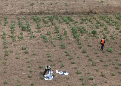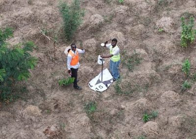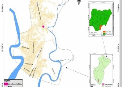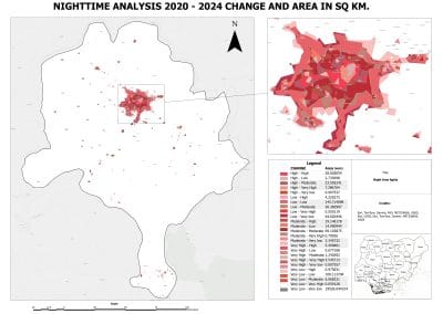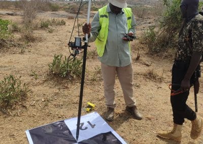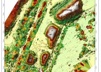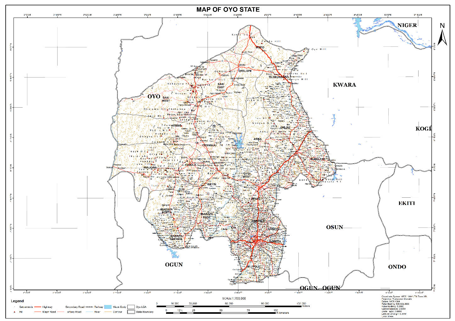


Training Files (GPX and Excel)
Download and Extract the GPX file.
The video Tutorial, will be uploaded later tomorrow

RECENT ACTIVITIES AND PROJECT...
YOU MAY ALSO LIKE...

Geospatial Intelligence in Nigeria: Applications, Benefits and Future Opportunities How can...

What Is Geoinnovation Summit? Everything to Know About the 2026 Event What is GeoInnovation...
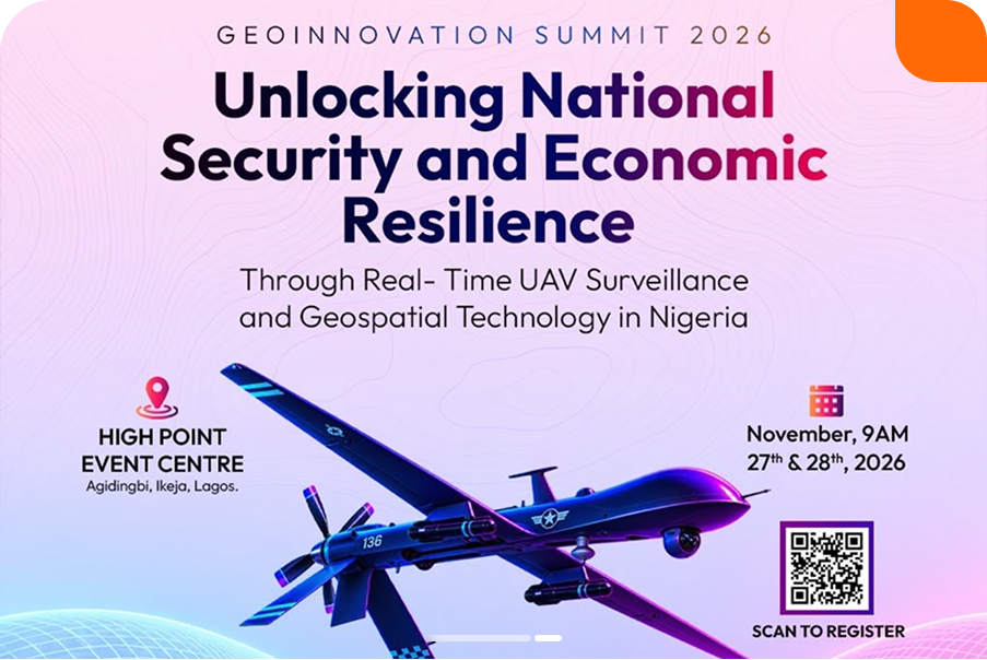
Real-Time UAV Surveillance and Geospatial Technology in Nigeria Security challenges,...

Geoinnovation Summit 2026: Geospatial Technology Event, Dates & Tickets Guide Overview Are you...
Geoinnovation Summit Returns, Targets National Security and Economic Development Nigeria's growing...
Geoinnovation Summit 2026 in Lagos: Who Is It Really For? When people hear about a technology...
COURSES
Explore Geoinfotech courses and establish a strong foundation of knowledge and skills to be productive with the latest Technology.
Duration: 4 Weekends (Every Friday 2pm and Saturday 10am)
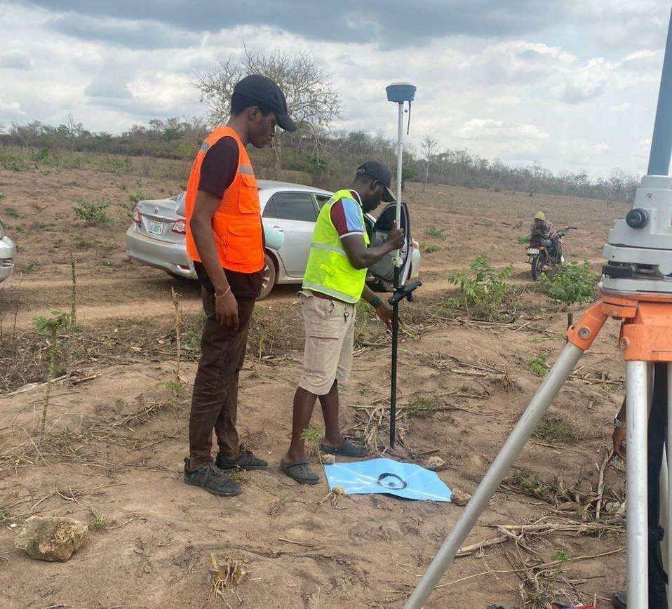
Package: Field Experience, 100% Hands-on practical, jotter, Biro and Software Others, Test, Exam and Certificate.
Professional 2 weekends ▪ Field Experience 5.0 (100% Practical) ▪ Exam & CertificateFree Software and AppsHands on Practical and Field […]
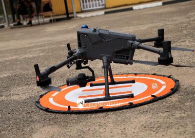
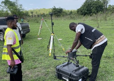
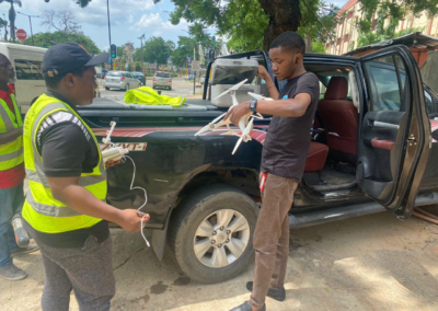
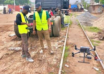
The Drone Professional Training course is a comprehensive program designed to equip participants with the necessary skills and knowledge to operate drones effectively and safely in a professional setting.
Duration: 3 Weekends (Every Friday 2pm and Saturday 10am)
Package: Field Experience, 100% Hands-on practical, jotter, Biro and Software Others, Test, Exam and Certificate.
GIS principles and ArcGIS techniques are implemented in this course to simulate real-world features, explore patterns, and make better decisions.
Duration: 4 Weekends (Every Friday 2pm and Saturday 10am)
Package: Field Experience, 100% Hands-on practical, jotter, Biro and Software Others, Test, Exam and Certificate.