


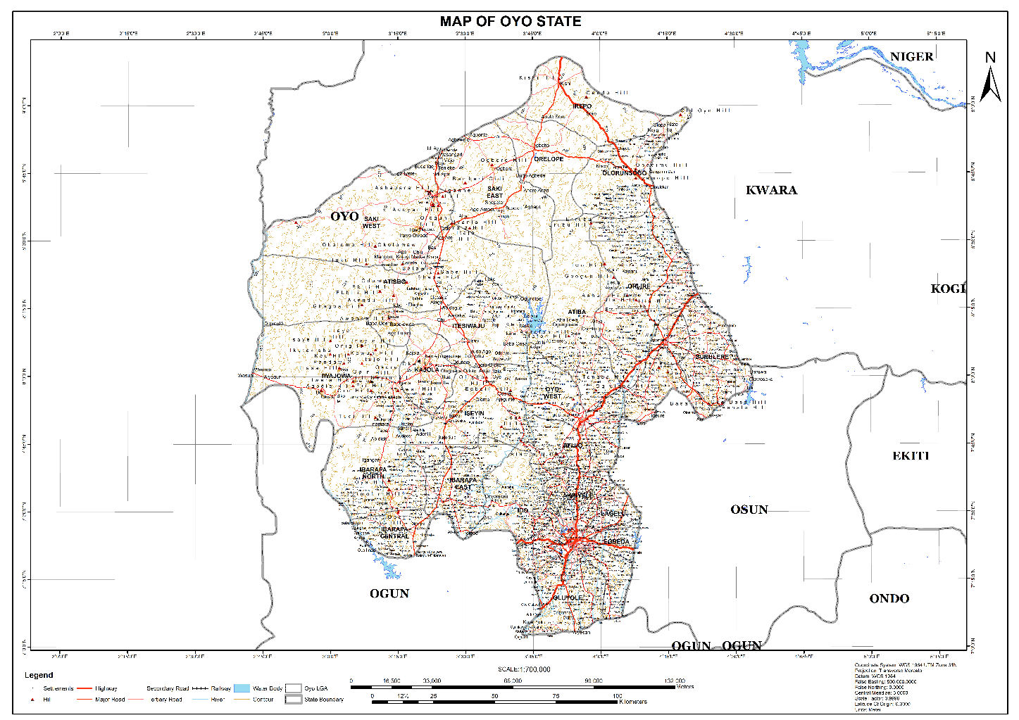
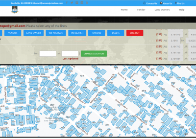
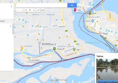
AFRIGIST Base Map Download
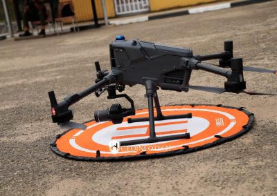
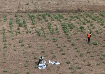
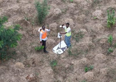
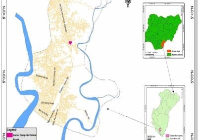

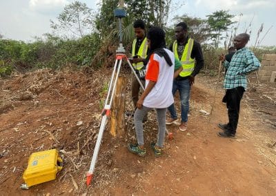
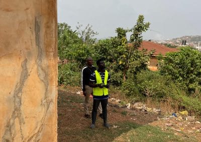
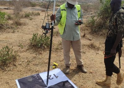
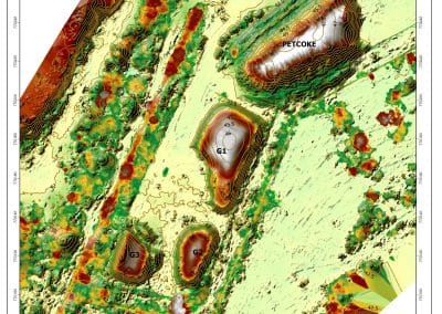
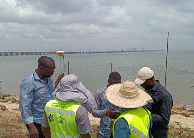
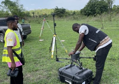


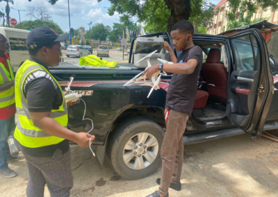

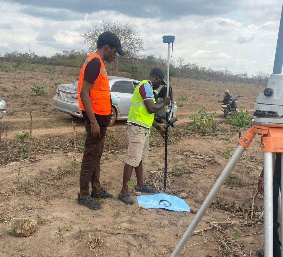








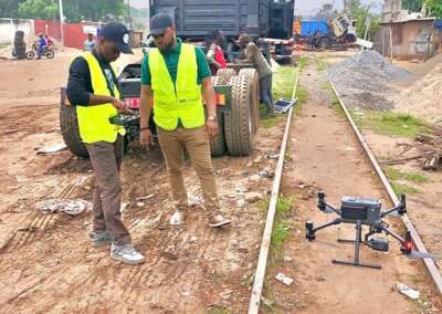


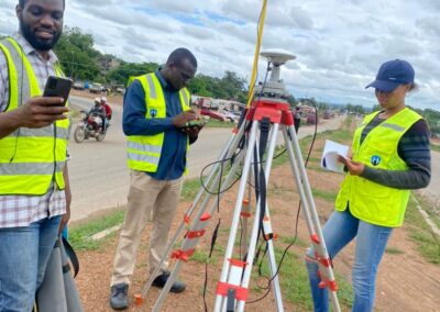
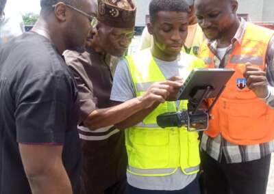
















Geospatial Intelligence in Nigeria: Applications, Benefits and Future Opportunities How can...

AFRIGIST Base Map Download
RECENT ACTIVITIES AND PROJECT...
YOU MAY ALSO LIKE...
Geospatial Intelligence in Nigeria: Applications, Benefits and Future Opportunities How can...
What Is Geoinnovation Summit? Everything to Know About the 2026 Event What is GeoInnovation...
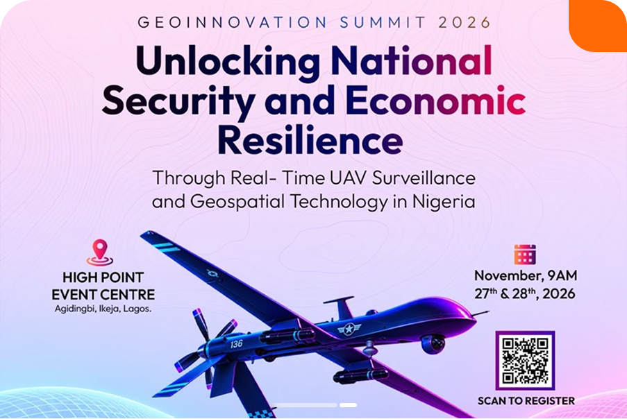
Real-Time UAV Surveillance and Geospatial Technology in Nigeria Security challenges,...

Geoinnovation Summit 2026: Geospatial Technology Event, Dates & Tickets Guide Overview Are you...
Geoinnovation Summit Returns, Targets National Security and Economic Development Nigeria's growing...
Geoinnovation Summit 2026 in Lagos: Who Is It Really For? When people hear about a technology...
COURSES
Explore Geoinfotech courses and establish a strong foundation of knowledge and skills to be productive with the latest Technology.
Duration: 4 Weekends (Every Friday 2pm and Saturday 10am)
Package: Field Experience, 100% Hands-on practical, jotter, Biro and Software Others, Test, Exam and Certificate.
Professional 2 weekends ▪ Field Experience 5.0 (100% Practical) ▪ Exam & CertificateFree Software and AppsHands on Practical and Field […]
The Drone Professional Training course is a comprehensive program designed to equip participants with the necessary skills and knowledge to operate drones effectively and safely in a professional setting.
Duration: 3 Weekends (Every Friday 2pm and Saturday 10am)
Package: Field Experience, 100% Hands-on practical, jotter, Biro and Software Others, Test, Exam and Certificate.
GIS principles and ArcGIS techniques are implemented in this course to simulate real-world features, explore patterns, and make better decisions.
Duration: 4 Weekends (Every Friday 2pm and Saturday 10am)
Package: Field Experience, 100% Hands-on practical, jotter, Biro and Software Others, Test, Exam and Certificate.