Data Processing
We always work with leading market software to deliver the best possible results, GIS, Web Application, for data processing, analysis, mapping and More
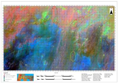
Drone Surveying, Inspection, Mapping and Data Processing
We provide drone services for data processing, analysis, mapping and competitive intelligence for the commercial drone industry, providing accurate and precise drone data and maps
SURVEYING AND MAPPING
We’re professionals in Land Surveying, Engineering Surveying, Geodetic surveying, Photogrammetry and remote sensing. We determine the terrestrial or three-dimensional position of points and the distances and angles with high accuracy
Geo Store – Shop Online
Geoinfotech Store, Affordable and Quality Geospatial Products, Surveying Tools/Equipment, GIS Hardware and Software.
OUR SERVICE AREAS
We help industries, professionals, gov and other organisations transform real-world scenarios into digital assets.


DRONE SURVEYING & MAPPING
- Land/Topographic Survey
- Contour, DSM, DTM, Point Cloud
- Cadastral Survey
- Riverine area (Swamp, lake, sea, etc)
- Flying and Renting of Drones
- Automatic Flight Planning and Data Capture
- Large area Data Analysis
- Real-time Mapping and Detailed 3D Models
- Aerial orthophoto
- Drone Mapping Photogrammetry
- Creating 3D models from 2D aerial photos
- Drone Training
- Image & Video Post-Processing
- Drone Acquisition Platform-agnostic fleet advice
- Corporate Drone Consulting
- More…
HIGH PRECISION DRONE
SURVEYING & MAPPING
Drone Surveying, Mapping & Inspection. Creating 3D models from 2D aerial photos. Drone-based aerial photograph to smart design of competitive modelling
DRONE INSPECTION
- Inspection of areas difficult to access
- Construction (Road, Building, Bridges, Mast, etc)
- Preventive maintenance planning and optimised production
- Access to areas that pose health, safety and environmental risk to humans
- Quick on-site deployment of the drone inspection system
- Authorised and qualified UAV-inspection personnel
- Reduced downtime
- More…
Our Portfolio
Check out our previous projects on GIS, Drone, Land Surveyor and Mapping Services in Nigeria