Geographic Information System (GIS) Services
Committed to on-time product delivery, accurate and precise data. Geographic Information System (GIS) Services
Geographic Information System (GIS) Services
We take your industry to the next level.Geographic Information System (GIS) Services

Data Collection & Integration

Data Management (GDBMS)

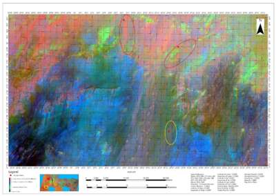
Geospatial Data Analysis and Spatial Data Modeling

GIS Mapping and Visualization

Geocoding (Addressing) and Geotagging

Geodatabase Design

Web GIS

GIS Training and Consulting
Deliver accurate and quality results
We work with Latest Equipment and Software
GIS Data Analysis and Mapping
At Geoinfotech we offer a wide range of tasks and applications related to managing, analyzing, and visualizing geospatial data. Geographic Information System Services
Data Analysis
- Precision Agriculture
- Mineral Exploration
- Land Use Land Cover Analysis
- Suitability Analysis
- Hydrology Analysis
- Hotspot Analysis
Cartographic Mapping
- Street Guide Map
- Topographic Mapping
- Cadastral Mapping
- Web-Mapping and Dashboard
- Project Evaluation and Monitoring
DATA cOLLECTION AND MANAGEMENT
- Creation of Geodatabase and Management
- Land Parcel Delineation and Management
- GPS Coordinates
- Data Crowdsourcing
Web Mapping
Welcome to a world where data meets geography, and insights are transformed into action. Our GIS services harness the true potential of geospatial information, revolutionizing the way businesses operate. With our expertise, you can gain a competitive edge, make smarter decisions, and drive success.
Data accuracy in surveying, analysis and mapping
We deliver better understanding of the earth surface
Training
- Geographic Information System
- Remote Sensing
- Drone
- Surveying
100% Practical and Advance Training
Explore our courses and establish a strong foundation of knowledge and skills
Our Portfolio
Check out our previous projects on GIS, Drone, Land Surveyor and Mapping Services in Nigeria