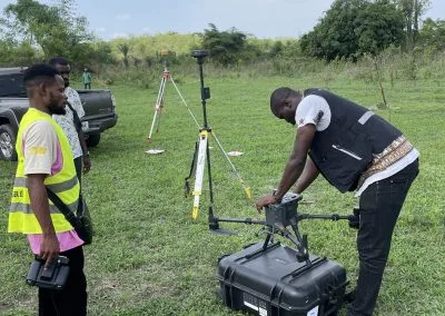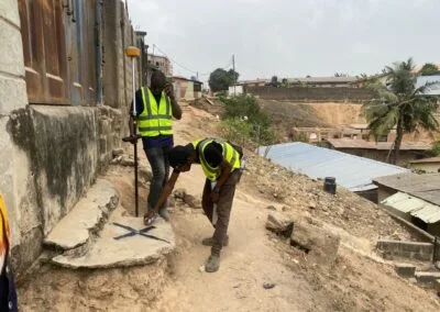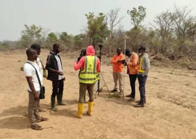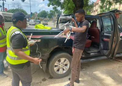

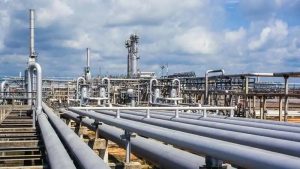
Live monitoring of critical oil and gas infrastructure using drones
Nigeria’s oil and gas industry depends on pipelines, flow stations, refineries, storage facilities and processing plants. These assets often cover large areas, including locations that are difficult to access. Monitoring them effectively is essential for operational safety, asset protection and timely decision-making.
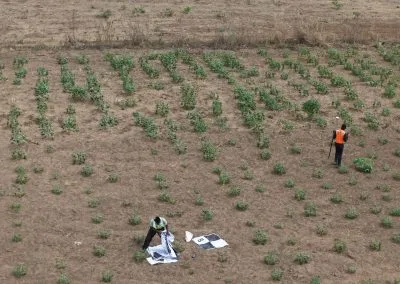
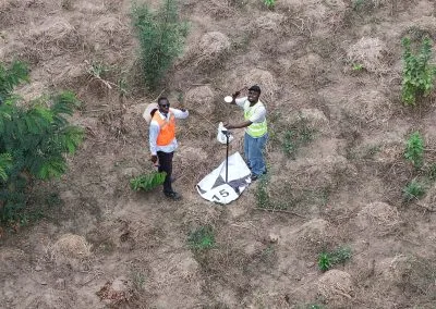
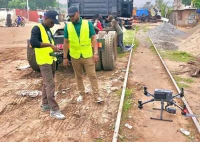
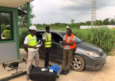
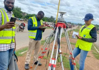
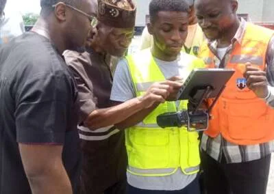
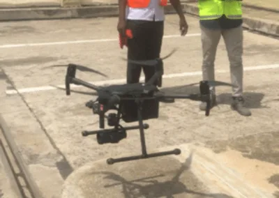
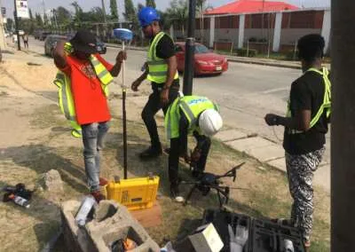
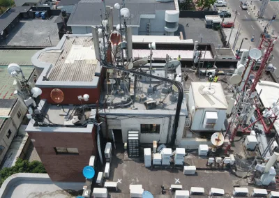
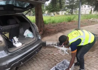
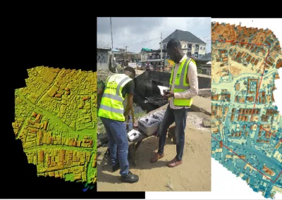
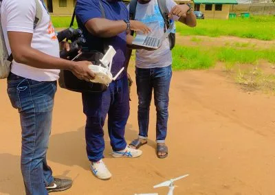
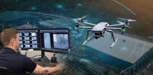
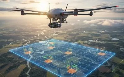
Live monitoring of critical oil and gas infrastructure using drones gives operators another way to observe facilities and pipeline corridors. Equipped with suitable cameras and sensors, drones can capture aerial footage and transmit live video to authorised personnel during operations. This allows teams to assess visible site conditions without always needing to be physically present at the location.
For oil and gas companies operating in the Niger Delta and other parts of Nigeria, drone surveillance can support pipeline inspections, right-of-way monitoring, facility observation and incident assessment.
Geoinfotech provides drone services for oil and gas operations and drone livestreaming solutions. These services can help organisations collect aerial information and improve remote visibility of critical infrastructure.
What Is Live Drone Monitoring in the Oil and Gas Industry?
Live drone monitoring involves using an unmanned aerial vehicle (UAV) to capture video or other sensor data and transmit it to authorised viewers while the drone is operating.
Unlike a workflow that relies entirely on downloading and reviewing footage after a flight, livestreaming allows designated personnel to observe aerial footage during a mission.
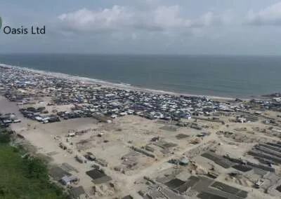
Depending on the equipment and project requirements, operators may use drones to observe pipeline corridors, inspect visible infrastructure conditions, monitor facility boundaries and assess selected areas following a reported incident.
The information can help operations managers, engineers and security teams determine whether further inspection or an appropriate response is necessary.
However, live drone footage does not automatically detect every leak, equipment defect or security threat. Operators must interpret the imagery correctly, and specialised sensors or ground-based inspections may be necessary to verify suspected problems.
Why Critical Oil and Gas Infrastructure Needs Drone Monitoring
Oil and gas infrastructure presents several monitoring challenges. Facilities may occupy extensive sites, while pipelines can extend across remote communities, waterways, vegetation and difficult terrain.
Traditional ground inspections remain important, but teams may need substantial time and resources to cover large areas. Certain assets also require special access arrangements or additional safety precautions.
Drone monitoring can help address some of these challenges.
1. Monitoring pipeline corridors
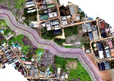
Pipelines require regular observation to identify visible changes along their routes. These may include erosion, vegetation changes, nearby construction, encroachment or other activities that warrant investigation.
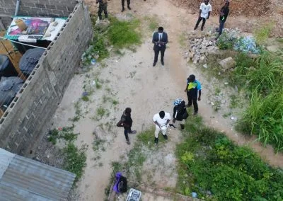
Drone flights can capture aerial imagery of selected pipeline sections. When operators receive a live video feed, they can review visible conditions during the mission and identify areas for closer assessment.
Geoinfotech’s drone services for oil and gas in Nigeria include pipeline monitoring and inspection applications.
2. Observing oil and gas facilities
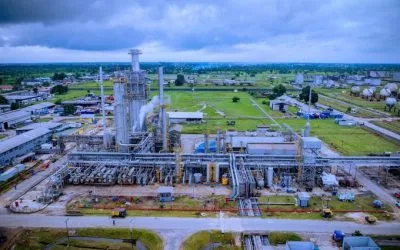
Refineries, flow stations, compressor stations, tank farms and processing plants contain equipment and structures that require routine inspection.
Drones can provide aerial views of selected external structures and facility areas. These views can help teams document visible conditions, investigate reported concerns and plan more detailed inspections.
The exact scope depends on the site layout, drone equipment, operational procedures and safety restrictions.
3. Supporting right-of-way surveillance
Pipeline right-of-way corridors need monitoring to identify activities that could affect access, maintenance or infrastructure safety.
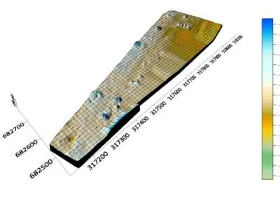
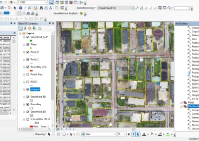
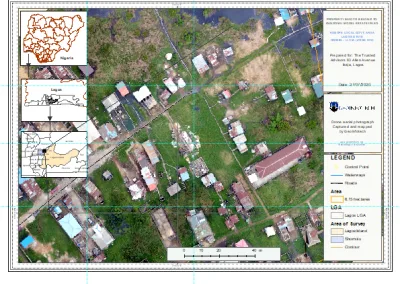
Drone imagery can help operators observe sections of a corridor and document visible changes over time. GIS mapping can also help place inspection findings in their geographic context.
This combination of aerial observation and geospatial information supports more organised infrastructure monitoring.
4. Assessing reported incidents
When a team reports a potential security concern or visible infrastructure issue, a drone may provide an additional viewpoint for an initial assessment.
Where a suitable live video connection is available, authorised decision-makers can observe the area during the flight and help coordinate the next steps.
Drone footage supports situational awareness; it does not replace emergency procedures, specialist inspections or direct confirmation of an incident.
How Live Drone Monitoring Works
A successful drone monitoring operation requires more than an aircraft and a camera. The equipment, flight plan, communications and reporting process must work together.
Step 1: Identify the infrastructure to monitor
The project team identifies the pipeline sections, facilities, access roads, storage areas or other assets that require observation.
Operators should also establish the purpose of the mission, the areas that the aircraft may safely access and the information that the client needs.
Step 2: Plan the drone mission
The operator prepares a flight plan based on the site, terrain, operational objectives and applicable aviation requirements.
The plan should identify the target area, expected flight duration, safety restrictions, communications requirements and procedures for unexpected events.
Step 3: Capture aerial footage
The drone collects imagery using its onboard camera or other suitable sensors. Depending on the equipment, the mission may capture standard video, high-resolution photographs or thermal imagery.
Thermal cameras can reveal temperature patterns, but they do not independently confirm every suspected leak or equipment fault. Specialist assessment may still be required.
Step 4: Transmit the live video feed
Where the aircraft and monitoring system support livestreaming, the video feed can be transmitted to authorised remote viewers.
Connectivity is particularly important in remote locations. Network coverage, bandwidth, interference and the transmission setup can affect the availability and quality of the feed.
Geoinfotech’s drone livestreaming service in Nigeria is relevant to organisations that need live aerial video during suitable drone operations.
Step 5: Review findings and coordinate action
The monitoring team reviews the available footage and records relevant observations. If an area requires closer inspection, the team can arrange further assessment using suitable drone sensors, ground personnel or specialist testing.
For long-term asset management, teams can organise inspection photographs, annotations, measurements and reports so they remain accessible for future review.
Benefits of Live Drone Monitoring for Oil and Gas Companies
Faster access to visual information
Live video gives authorised personnel access to aerial observations while a mission is underway. This can reduce reliance on workflows that only provide imagery after a flight has finished.
The benefit depends on the quality of the communications connection and the availability of trained personnel to interpret the footage.
Better visibility across extensive assets
Pipelines and other energy infrastructure can span large or difficult-to-access areas. Drone missions allow operators to observe selected locations from above and capture information that ground teams may not easily obtain.
Reduced exposure to selected inspection hazards
Drone imagery can support initial visual assessments of certain structures and locations. This may reduce the need for personnel to enter some difficult areas simply to obtain an overview.
However, drones do not remove every inspection risk. Qualified personnel must still determine whether close-up access, physical testing or additional protective measures are necessary.
Improved inspection records
Aerial photographs and videos can document site conditions at a particular time. When teams repeat inspections using suitable procedures, they can compare records and investigate visible changes.
For more structured reporting, photogrammetry and asset management tools can help organise inspection information.
Better coordination between field and office teams
Live video can help authorised stakeholders review the same aerial view during an operation. This can support communication between field operators, facility managers and technical teams.
A clear escalation process remains essential. Teams should know who reviews findings, who authorises further action and how they record the outcome.
Can Drones Monitor Oil and Gas Infrastructure 24/7?
Drones can contribute to a continuous infrastructure monitoring programme, but ordinary battery-powered aircraft generally cannot remain airborne without interruption for 24 hours.
A 24/7 monitoring strategy may combine fixed cameras, ground-based sensors, scheduled drone patrols, on-demand flights and other monitoring systems.
Some specialised platforms support automated docking or charging, while tethered systems may provide extended aerial observation under suitable conditions. Each option has its own operating limits and infrastructure requirements.
Before commissioning a solution, clarify whether your objective is:
- Live video during scheduled drone flights.
- Regular patrols of pipeline corridors and facility boundaries.
- On-demand aerial assessment when an alert occurs.
- Continuous monitoring through a combination of drones and fixed systems.
- Routine inspection imagery and reports for asset management.
This distinction helps you select an appropriate service instead of assuming that every drone system provides uninterrupted surveillance.
What Sensors and Technologies Are Useful?
The right equipment depends on what the operator needs to observe.
High-resolution optical cameras
Optical cameras capture visible details of infrastructure, access roads, buildings and surrounding areas. They can support visual inspections and document conditions that may require further investigation.
Thermal imaging cameras
Thermal sensors detect differences in infrared radiation. They can help inspect certain equipment and identify unusual thermal patterns under appropriate conditions.
Thermal imaging is not a universal leak-detection solution. The ability to identify a particular problem depends on the sensor, distance, material, environment and inspection method.
GPS and geospatial mapping
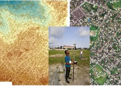
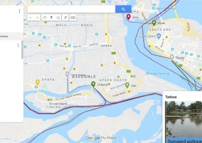
Position information helps teams relate collected imagery to specific locations. GIS can organise infrastructure data, inspection points, pipeline routes and areas requiring follow-up.
Geospatial analysis can also support comparisons between inspection records, helping teams understand where visible changes occur.
Photogrammetry and asset documentation
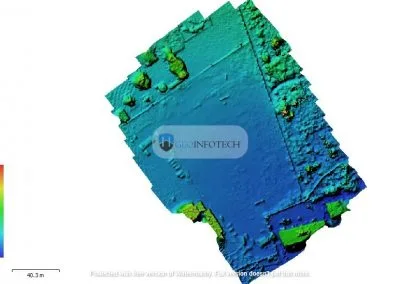
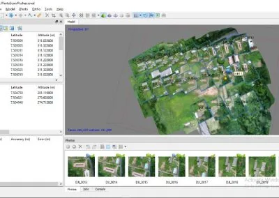
Photogrammetry uses overlapping images to create measurable two-dimensional or three-dimensional representations of suitable sites and structures.
These outputs can support asset documentation, measurements and inspection reporting. They are particularly useful when a company needs structured records rather than live video alone.
Geoinfotech’s industrial drone inspection and asset management service describes inspection workflows involving photogrammetry, asset records, measurements and reports.
Applications Across Nigeria’s Oil and Gas Sector
Niger Delta pipeline networks
Pipeline operators in the Niger Delta may need to observe extensive corridors that cross varied terrain and waterways. Drone flights can help capture imagery of selected sections and document visible changes that require investigation.
For environmental assessment, aerial imagery can also support the identification of visible surface changes. Suspected pollution, leaks or contamination still require appropriate verification and, where necessary, environmental sampling and laboratory analysis.
Flow stations and processing plants
Flow stations and processing facilities contain equipment, structures and access routes that require regular observation.
Drone inspection can provide aerial views of selected external assets and help teams document visible conditions. Operations must follow the facility’s safety procedures and any applicable restrictions on drone flights.
Storage tanks and industrial facilities
Storage tanks, elevated structures and large industrial installations can be difficult to inspect comprehensively from ground level.
Drones may help collect visual information about accessible external surfaces and surrounding areas. The aircraft and camera must suit the inspection objective, and drone imagery should not be treated as a substitute for required structural testing or specialised integrity assessments.
Remote energy infrastructure
Some energy assets are located far from central offices or major transport routes. Remote viewing of drone footage can help authorised personnel review observations without travelling to the site solely to obtain an aerial overview.
This approach can support operational planning, although the practical benefit depends on network availability, deployment costs and the required inspection frequency.
Live Drone Monitoring vs Traditional Inspection Methods
Traditional inspection methods and drone monitoring serve complementary purposes.
Ground inspections allow trained personnel to examine equipment directly, conduct tests and verify physical conditions. Fixed cameras and installed sensors can provide persistent observation at selected locations.
Drone monitoring adds a mobile aerial viewpoint. It can help teams inspect selected areas, collect imagery and transmit live video during suitable operations.
For critical oil and gas assets, a combined approach is often more appropriate than relying on one method alone. The monitoring plan should identify which tasks drones can support and which require fixed sensors, specialist inspections or direct physical verification.
How Geoinfotech Supports Oil and Gas Infrastructure Monitoring
Oil and gas operators looking for drone monitoring services should consider both the data collection process and the way they will use the resulting information.
Geoinfotech publishes several relevant services for infrastructure monitoring and inspection in Nigeria.
Drone services for oil and gas
Geoinfotech’s drone services for oil and gas in Nigeria cover applications such as pipeline monitoring, facility inspection, aerial data collection and geospatial support.
These services are relevant to operators seeking aerial information about pipelines, flow stations, storage facilities and other energy infrastructure.
Drone livestreaming
The drone livestreaming service supports live aerial video for remote viewing during suitable operations.
This may help authorised stakeholders observe site conditions while a drone mission is underway. Confirm the available camera configuration, transmission arrangements, connectivity requirements and monitoring workflow for your project.
Industrial drone inspection and asset management
Geoinfotech’s industrial drone inspection and asset management service supports structured inspection data, photogrammetry, measurements, reports and asset records.
This is particularly relevant when an organisation needs to preserve inspection findings and review infrastructure conditions over time.
GIS and geospatial analysis
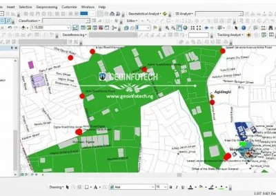
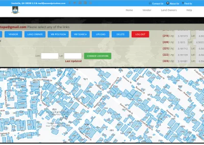
GIS can connect drone imagery with pipeline routes, facility boundaries, asset locations and inspection findings. Geospatial analysis helps teams organise information and identify where further investigation may be needed.
To explore Geoinfotech’s wider geospatial services, visit the Geoinfotech website.
The precise equipment, service scope, live monitoring arrangements, flight schedule and deliverables should be confirmed with the company before commissioning a project.
How Much Does Live Drone Monitoring Cost?
The cost depends on the infrastructure, equipment, operating schedule and services required. A single inspection flight will usually have a different scope from a recurring monitoring programme.
Important cost factors include:
- The length of the pipeline corridor or size of the facility.
- Drone type, camera specifications and sensor requirements.
- Whether the project requires live video, recorded imagery or both.
- The number of missions and their expected duration.
- Site access, terrain, weather and communications coverage.
- Data processing, GIS mapping, photogrammetry and reporting.
- Operator requirements, travel, safety procedures and permissions.
- The frequency of inspections and the duration of the contract.
For a more accurate quotation, provide the site location, infrastructure type, approximate coverage area, monitoring objectives and expected schedule.
Ask the provider to specify what the price includes, how findings will be delivered, what operational limitations apply and whether additional inspections or data processing incur separate costs.
How to Request an Oil and Gas Drone Monitoring Service
If your company is considering live drone monitoring, use the following steps to prepare a project brief.
Step 1: Identify the assets. List the pipeline sections, facilities, storage tanks or other infrastructure that require observation.
Step 2: Define your objectives. State whether you need live aerial video, routine visual inspections, right-of-way monitoring, mapping or asset documentation.
Step 3: Specify the operating schedule. Explain whether the project requires a one-time mission, periodic patrols or a wider monitoring programme.
Step 4: Describe the site conditions. Include access constraints, terrain, available network coverage and any relevant facility safety procedures.
Step 5: Request a technical proposal. Ask Geoinfotech to confirm the appropriate equipment, available services, operating requirements, deliverables and pricing.
Step 6: Agree on reporting and escalation. Establish how the team will document observations, communicate urgent findings and arrange follow-up inspections.
You can begin by visiting Geoinfotech’s oil and gas drone services page or its drone livestreaming service page.
Frequently Asked Questions
What is live monitoring of oil and gas infrastructure using drones?
It is the use of drones to observe selected energy infrastructure and transmit aerial video to authorised viewers during a flight. It can support pipeline surveillance, facility observation, visual inspections and incident assessment.
Can drones monitor oil pipelines in real time?
Yes, suitable drones can transmit live video during pipeline monitoring missions when the aircraft, transmission system and communications network support it. This allows authorised personnel to observe selected sections while the mission is underway.
Can drones detect oil pipeline leaks?
Drones can help identify visible signs of a possible problem, and suitable specialised sensors may support certain inspections. However, a standard optical camera cannot reliably detect every leak. Suspected leaks require appropriate verification using suitable inspection methods and equipment.
Does live drone monitoring replace ground inspections?
No. Drone monitoring complements ground inspections by providing an aerial viewpoint and additional visual information. Physical testing, specialist assessments and direct inspections may still be necessary.
Can drones provide 24/7 oil and gas surveillance?
A continuous monitoring programme may combine drones with fixed cameras, sensors, scheduled patrols or specialised systems. Ordinary battery-powered drones cannot usually stay airborne continuously for 24 hours. The proposed solution must account for flight endurance, charging, staffing, connectivity and backup coverage.
Does Geoinfotech provide oil and gas drone monitoring services?
Geoinfotech publishes drone services for oil and gas infrastructure, including pipeline monitoring and facility inspection applications. The company also offers drone livestreaming. Visit its oil and gas drone services page to discuss your specific requirements.
How do I request a quotation from Geoinfotech?
Visit Geoinfotech’s official website or review its relevant oil and gas and livestreaming service pages. Provide your site location, asset type, monitoring objectives and required schedule to help the team assess your project.
Conclusion: Improve Oil and Gas Infrastructure Visibility with Drone Monitoring
Live monitoring of critical oil and gas infrastructure using drones can help operators observe pipelines, assess facilities and access aerial information during authorised missions. When combined with GIS, structured inspection records and established response procedures, drone technology can strengthen an organisation’s infrastructure monitoring strategy.
However, effective monitoring requires the right equipment, trained operators, reliable communications and a clear plan for responding to findings. Continuous surveillance also requires an operating model that accounts for flight endurance and coverage between missions.
If your organisation needs pipeline monitoring, facility inspection, live aerial video or geospatial support, explore Geoinfotech’s drone services for oil and gas in Nigeria and discuss a solution suited to your infrastructure and operational objectives.
Contact Geoinfotech to discuss your oil and gas drone monitoring project and request a tailored proposal.