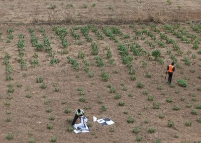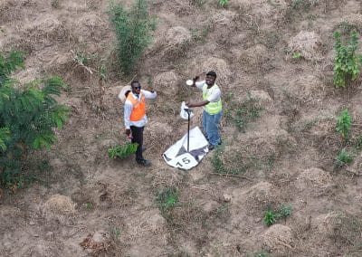

Businesses need reliable ways to protect their facilities, monitor operations and respond to security concerns. Traditional CCTV cameras remain useful, but large industrial sites, warehouses, oil and gas installations and remote facilities can have areas that fixed cameras cannot easily cover.
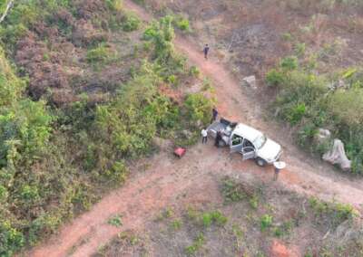
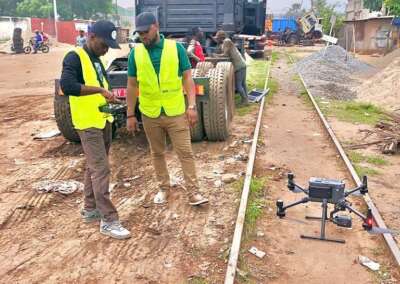
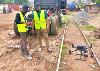
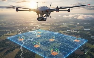
Advanced surveillance drone cameras offer an additional way to monitor these locations. Equipped with suitable cameras and sensors, drones can provide aerial views, capture detailed images and transmit live video during authorised operations. These capabilities help security teams assess incidents, inspect assets and improve visibility across large properties.
For organisations in Nigeria, combining drone surveillance with live video, industrial inspection and geospatial intelligence can strengthen existing security procedures. Geoinfotech provides drone livestreaming, industrial inspection and related geospatial services that businesses can explore when planning a facility monitoring solution.
What Are Advanced Surveillance Drone Cameras?
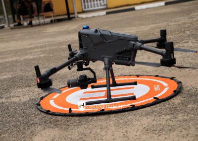
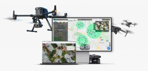
Advanced surveillance drone cameras are imaging systems mounted on unmanned aerial vehicles (UAVs). They allow trained operators to observe areas from above and collect visual information that may be difficult to obtain from ground level.
Depending on the aircraft and camera configuration, a surveillance drone may support high-resolution video, zoom capabilities, thermal imaging or live video transmission.
Businesses can use these capabilities to inspect perimeter fences, observe access roads, check remote infrastructure and assess areas where ground access presents challenges.
However, a drone camera is only one part of a complete security solution. Effective monitoring also depends on trained operators, suitable communications, clear operating procedures and a reliable response plan.
How Do Drone Cameras Support 24/7 Facility Monitoring?
The phrase 24/7 facility monitoring describes a security objective: maintaining visibility of a facility throughout the day and night. A drone can contribute to that objective, but its flight duration and operating requirements determine how it fits into the overall system.
For example, a business might combine fixed CCTV cameras, access-control systems, security personnel and scheduled drone patrols. Where the equipment and communications support it, a drone can also transmit live footage to authorised personnel during a flight.
Continuous coverage may require several aircraft, battery or power arrangements, trained operators, a docked drone system or other supporting infrastructure. The appropriate setup depends on the facility and the level of coverage required.
Before purchasing a system, clarify whether you need continuous recording, scheduled aerial patrols, on-demand drone deployment or live video during specific security events.
Key Features to Consider When Choosing Surveillance Drone Cameras
1. High-resolution optical cameras
High-resolution cameras capture detailed images of buildings, access roads, equipment and perimeter areas. These images can help security teams investigate reported incidents and document site conditions.
Camera resolution alone does not determine image quality. Lens quality, lighting, distance, movement and zoom capabilities also affect what an operator can identify.
2. Thermal imaging capabilities
Thermal cameras detect differences in infrared radiation and represent them as temperature patterns. At suitable distances and under appropriate conditions, they can help operators identify heat sources or investigate unusual thermal patterns.
Industrial teams may also use thermal imaging during inspections of selected equipment and infrastructure.
Thermal imagery does not automatically identify a person or confirm a security threat. Operators must interpret the results in context and verify important findings.
3. Live video transmission
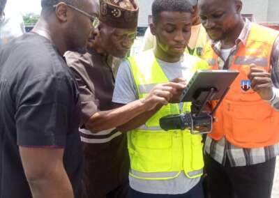
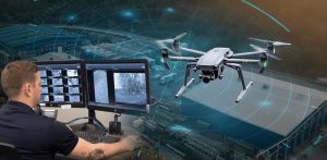
Live video allows authorised viewers to observe a drone’s camera feed while a mission is underway. This can help remote teams assess incidents and coordinate decisions without waiting for the flight to end.
Geoinfotech offers a drone livestreaming service in Nigeria for aerial video and remote operational awareness.
The quality and availability of a live feed depend on the aircraft, communications network, transmission platform and operating environment. Confirm the supported camera types, viewing arrangements, connectivity and security controls for your project.
4. Suitable flight time and deployment
Flight endurance affects how long a drone can remain airborne before it needs to land, recharge or replace its battery.
For large facilities, compare the required patrol duration with the drone’s practical flight time. Also consider the time needed for take-off, landing, battery changes, maintenance and operator handovers.
If your goal is continuous monitoring, ask the provider to explain how the proposed system will maintain coverage between flights.
5. Reliable communication and data security
Surveillance footage may contain sensitive information about staff, operations, equipment and facility layouts.
Your monitoring plan should define who can access live feeds, where recordings are stored, how long they are retained and how authorised users receive footage. Ask the provider about supported encryption, access permissions and data-handling procedures.
Do not assume that every drone has the same security features. Verify these capabilities before deployment.
Benefits of Advanced Surveillance Drone Cameras for Businesses
Better visibility across large facilities
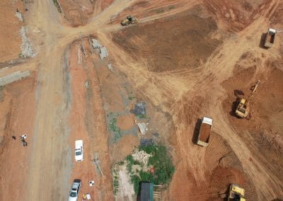
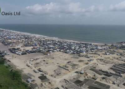
Aerial cameras can give security teams a broader view of selected areas. This can be valuable at industrial sites, logistics centres, warehouses, construction projects and remote infrastructure locations.
Faster incident assessment
When a security team reports a concern, a drone may help an authorised operator inspect the affected area from above. A live feed can provide additional context for deciding whether to dispatch personnel or take another appropriate action.
Safer visual inspections
Some infrastructure is difficult or hazardous to inspect from the ground. Drone imagery can help teams examine selected structures and assets while reducing the need for certain manual inspection activities.
Drones do not eliminate every physical inspection requirement. Qualified personnel must still determine when close-up checks or other testing methods are necessary.
Improved asset documentation
Drone inspections can produce photographs, videos and other records that teams use to review site conditions over time.
When combined with appropriate inspection software, photogrammetry and geospatial data, these records can support asset documentation, measurements and maintenance planning.
Support for remote operations
Facilities located far from a central office may benefit from aerial data that authorised personnel can review remotely. Live video can support immediate observation, while recorded imagery and inspection reports can help with later analysis.
Industries That Can Benefit from Drone-Based Facility Monitoring
Oil and gas facilities
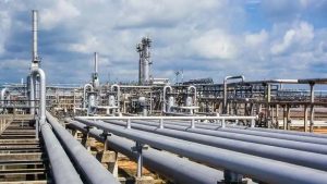
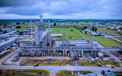
Oil and gas operators manage installations, access roads, pipeline corridors and other infrastructure that may cover extensive areas.
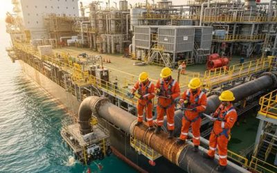
Drone surveillance can support authorised visual observation, infrastructure inspection and aerial data collection. Where the aircraft has suitable sensors, thermal imagery may also contribute to selected inspection tasks.
Learn more about Geoinfotech’s drone services for oil and gas in Nigeria.
Warehouses and logistics centres
Large warehouses and distribution centres may need to monitor loading areas, external boundaries, vehicle access points and storage facilities. Drones can provide supplementary aerial observations during planned patrols or specific incidents.
They should complement, rather than automatically replace, fixed cameras, access controls and on-site security teams.
Manufacturing and industrial plants
Manufacturing sites often contain equipment, structures and restricted areas that require routine inspection. Drone imagery can help teams document external structures and selected assets.
Where more detailed asset records are required, inspection software and geospatial tools can organise imagery, measurements and observations for review.
Construction sites
Construction managers may use drones to observe site activity, document progress and inspect selected structures. The resulting imagery can also help teams compare site conditions across different dates.
For ongoing project documentation, consider combining drone surveys with mapping and inspection workflows.
Telecommunications infrastructure
Telecommunications companies manage towers, rooftop installations and distributed network assets. Drone inspections can capture detailed imagery of selected structures and support asset documentation.
Explore Geoinfotech’s drone telecom inspection services for information about aerial inspection, asset inventories and digital models.
Drone Surveillance vs Traditional CCTV
CCTV and drone cameras serve different purposes. Choosing between them depends on the facility’s layout, security objectives and operating budget.
CCTV cameras provide fixed views and can support continuous recording when properly installed and powered. They are useful for entrances, corridors, control rooms, loading bays and other defined locations.
Surveillance drones provide mobile aerial views during authorised flights. They can inspect selected areas and reach locations that fixed cameras may not cover effectively.
For many facilities, the strongest approach is to use both technologies alongside trained security personnel and a defined incident-response procedure.
A drone should not be treated as a direct replacement for every fixed camera. Its practical value comes from providing a different viewpoint and additional information when needed.
How Geoinfotech Can Support Your Facility Monitoring Project
Organisations considering advanced surveillance drone cameras should begin by identifying the areas they need to monitor, the information they want to capture and how security teams will use that information.
Geoinfotech offers several relevant services that businesses can explore.
Drone livestreaming
Geoinfotech’s drone livestreaming service focuses on transmitting aerial video to remote viewers during operations. This may support situational awareness and remote assessment where the proposed aircraft, communications and operating plan meet the project’s requirements.
Industrial drone inspection and asset management
Through its industrial drone inspection and asset management service, Geoinfotech describes workflows for capturing inspection data, creating photogrammetric models, recording measurements and organising asset records.
These capabilities are relevant to organisations that need more than live footage and also want structured inspection documentation.
Drone surveillance for oil and gas infrastructure
Companies managing pipelines and other energy infrastructure can explore Geoinfotech’s drone services for oil and gas operations. Discuss your facility, risk areas, sensor requirements and intended monitoring schedule with the team.
The exact equipment, flight schedule, live-feed arrangements, alarm integration and level of continuous coverage must be confirmed for each project. Do not assume every feature is included in every service.
How Much Do Advanced Surveillance Drone Cameras Cost?
The cost of a surveillance solution depends on the equipment and the operating model. Buying a drone is not the same as commissioning a complete monitoring service.
Several factors can affect the project budget:
- Camera resolution, zoom and thermal imaging requirements.
- Aircraft flight endurance and payload capacity.
- Whether you need equipment purchase, a service engagement or both.
- The size and complexity of the facility.
- Live video transmission and communications infrastructure.
- The number of flights, operators and monitoring hours required.
- Data storage, reporting, maintenance and training.
- Regulatory approvals and site-specific operating requirements.
To obtain a useful quotation, provide the site location, facility size, intended use, existing security equipment and expected monitoring schedule. Explain whether you need live video, scheduled inspections, thermal imaging or asset documentation.
You can then ask Geoinfotech to confirm the available service options, equipment specifications, operational limitations and total project costs.
How to Choose the Right Drone Surveillance Solution
Before committing to a system, work through the following steps.
Step 1: Assess your facility. Identify boundaries, buildings, restricted zones, vulnerable assets and areas that existing cameras cannot cover.
Step 2: Define your monitoring objective. Decide whether you need live aerial observation, scheduled patrols, inspection imagery or a system designed for continuous coverage.
Step 3: Confirm the technical requirements. Specify camera type, thermal capabilities, zoom, flight endurance, communications, data storage and access permissions.
Step 4: Review the operating plan. Ask who will operate the drone, how flights will be scheduled, what happens when the aircraft cannot fly and how incidents will be escalated.
Step 5: Request a project-specific proposal. Compare the proposed scope, deliverables, maintenance arrangements, regulatory requirements and costs before making a decision.
Step 6: Test the workflow. Where practical, begin with a pilot deployment. Check whether the footage, coverage and reporting meet your operational needs before expanding the programme.
Frequently Asked Questions
Can a surveillance drone monitor a facility 24 hours a day?
A drone can contribute to a 24/7 monitoring programme, but ordinary battery-powered drones generally cannot remain airborne continuously for 24 hours. Continuous coverage may require multiple aircraft, automated docking and charging, tethered systems or a combination of drones and fixed cameras. Confirm the actual capabilities of the proposed system.
Can drone cameras operate at night?
Some drones support low-light cameras or thermal imaging. Night operations also depend on the aircraft, visibility, weather, operating environment and applicable aviation rules. Ask the provider to confirm the available sensor configuration and whether it suits your site.
Can drone cameras replace CCTV?
Not in every situation. CCTV provides fixed views and can record continuously, while drones provide mobile aerial observation during authorised operations. Many facilities benefit from using both technologies as part of a coordinated security plan.
Does Geoinfotech offer drone livestreaming?
Geoinfotech publishes a drone livestreaming service for Nigeria. Visit the official service page to review the offering and discuss the requirements for your facility.
Can drone surveillance include thermal imaging?
Thermal imaging is available on suitable drone platforms. Confirm the sensor specifications, intended use and availability for your project with Geoinfotech before assuming that a particular thermal capability is included.
How can I request a quote from Geoinfotech?
Visit Geoinfotech’s official website or its UAVIS contact page. Explain your location, facility type, monitoring objectives and required services so the team can assess your needs.
Conclusion: Improve Facility Visibility with Drone Surveillance
Advanced surveillance drone cameras can give businesses an additional way to observe facilities, inspect assets and assess security incidents. When combined with suitable sensors, live video, inspection records and established response procedures, drones can strengthen a wider facility monitoring programme.
However, true 24/7 coverage requires more than a camera-equipped aircraft. Businesses must plan for flight endurance, charging, staffing, communications, permissions and backup coverage.
If your organisation is evaluating drone surveillance, live aerial monitoring or industrial inspection, explore the relevant services from Geoinfotech and discuss your operational requirements with the team.
Ready to discuss your facility monitoring needs? Visit Geoinfotech to explore its drone services and request a project-specific consultation.