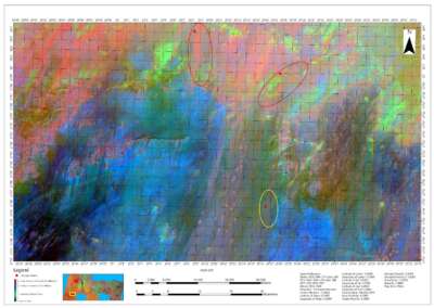
Our Portfolio
Check out our previous projects on GIS, Drone, Land Surveyor and Mapping Services in Nigeria


Contact Us
Thank you for your interest in Geoinfotech Resources Limited
To get in touch, please fill out the form below, and our team will promptly respond. Alternatively, you can reach us via email or phone. We value your time and aim to provide the best customer experience.