
In today’s competitive business landscape, companies are constantly seeking innovative solutions. Drones offer a powerful advantage by providing unique perspectives, valuable data, and operational efficiency. Are you ready to take your photography, surveying, or business operations to new heights? At Geoinfotech Geostore, discover the future of aerial technology with our top-of-the-line drones, designed to meet all your needs and exceed your expectations.
Why Choose Our Drones?
Our drones are meticulously designed and engineered to deliver exceptional performance, reliability, and versatility. We offer a comprehensive range of drones tailored to meet the specific needs of your business, whether you’re in Surveying, real estate, agriculture, construction, or any other sector.
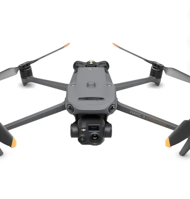
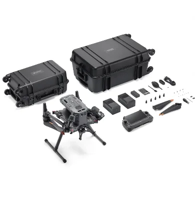
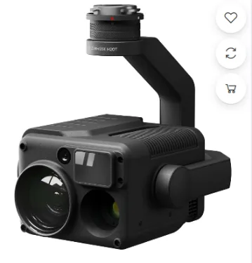
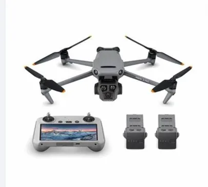
At Geoinfotech Geostore we offer a wide range of drones to take your operations to the next level. We sell the best type of drones and its equipment offered by top brands around the world ranging from but not limited to DJI Matrice, DJI Mavic, DJI mini, DJI D-RTK, DJI TB-60, Zen muse cameras, DJI phantom, Autel EVO and DJI air & air2 among others.
Key Benefits of purchasing Drones from Geoinfotech Geostore:
- Unparalleled Aerial Imagery: Capture breathtaking aerial photos and videos that showcase your properties, projects, or events in a whole new light.
- Precision Data Collection: Gather accurate and detailed data through advanced sensors and cameras, enabling informed decision-making.
- Increased Efficiency: Streamline operations and reduce costs by automating tasks and accessing hard-to-reach areas.
- Enhanced Safety: Conduct inspections and surveys safely from a distance, minimizing risks to personnel.
- Competitive Advantage: Stand out from the competition by leveraging cutting-edge drone technology.
Our Drone Solutions:
- Real Estate: Showcase properties from unique perspectives, attracting potential buyers and tenants.
- Agriculture: Monitor crop health, optimize irrigation, and increase yields.
- Construction: Inspect construction sites, monitor progress, and identify potential issues.
- Public Safety: Assist in search and rescue operations, disaster response, and law enforcement.
- Media and Entertainment: Create captivating aerial footage for films, commercials, and documentaries.
- Delivery and Logistics: Transport goods efficiently and reliably, especially in remote areas.
- Surveying and Mapping: Equipped with high-precision GPS and mapping sensors, drones are used for creating detailed maps and 3D models. They are essential in fields like land surveying and construction
Invest in the Future of Your Business with drones from Geoinfotech Geostore
Our drones are backed by our commitment to customer satisfaction and exceptional support. We offer comprehensive training, technical assistance, and ongoing maintenance services to ensure your success.
Don’t miss out on the opportunity to revolutionize your business with our cutting-edge drone technology. Contact us today to acquire that perfect drone that suits and elevate your operations.


