About US
About Geoinfotech

Our Approach to Geospatial Solutions is Centered Around Learning & Growing With Our Clients
We are Passionate About proffering the best of service you need
We are No 1 Industry leader in Geo-Spatial Technology Solution Deployment, We believe in the power of geospatial technology to transform, modernise, develop and expand our knowledge on earth systems through the processing of satellite imageries, drone-based aerial photographs, smart design of maps and web applications.
We bring art and science together to build innovative entrepreneurship and technology at Geoinfotech We create geospatial products, GIS, Drone Surveying, Mapping, Remote Sensing, Web Application, and full drone services for data processing, analysis, mapping Providing accurate and precise data and maps to achieve your strategic goals.
Our Awesome Team
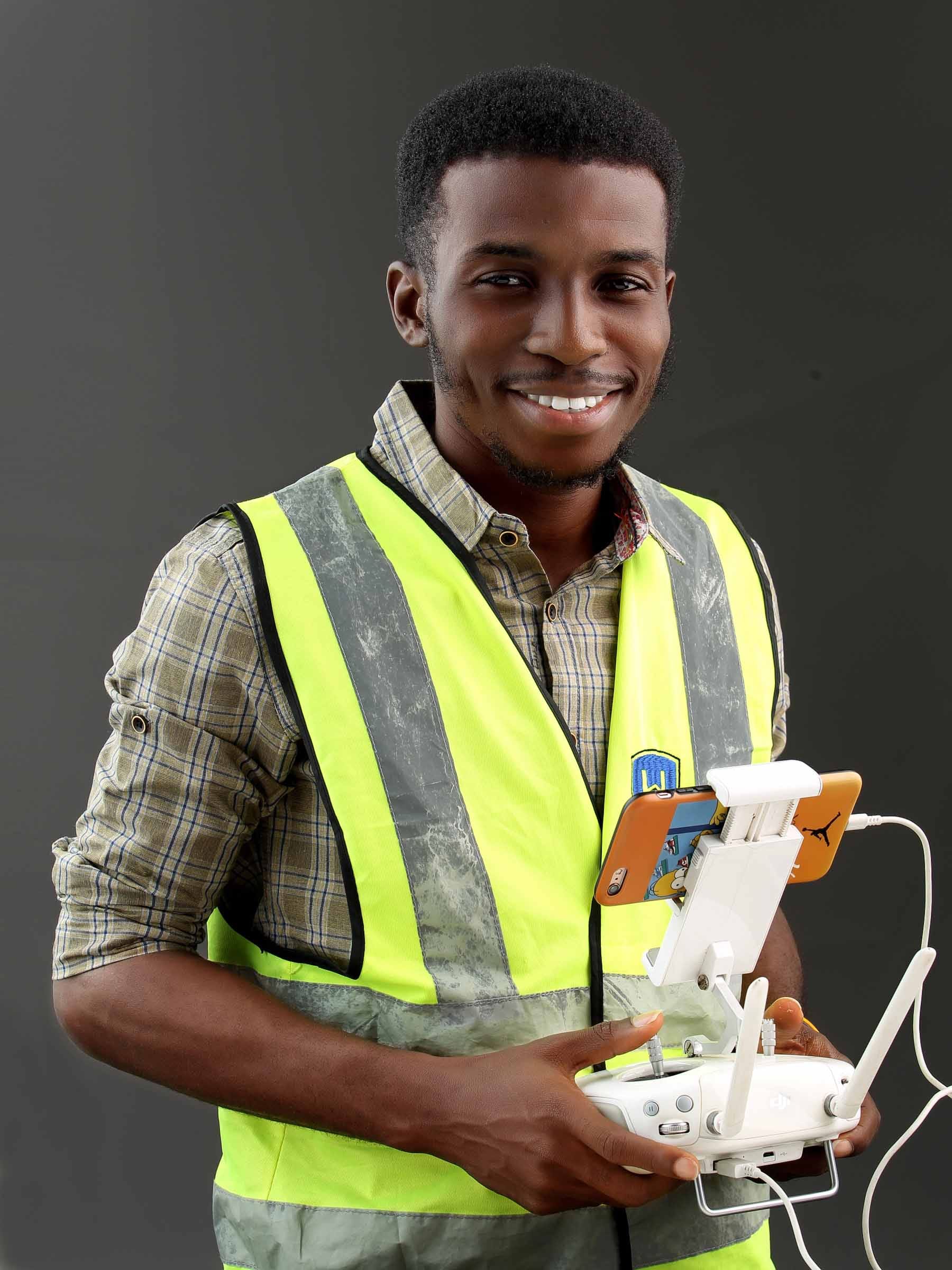
Mr Temitope
Founder & CEO

Mrs

Mr
Surveyor
What We Do Best
Drone and Mapping
GIS and Remote Sensing
Land Surveying and Geoformatics
Web and Mobile Development
Training
Geo Ecommerce Store
Geoinfotech Training Program
We are passionate in proffering the best of value and uplifting the education sector
About our Training
Basic – Advance Training on GIS, Remote Sensing and Drone Mapping, to Professional bodies, Organisations and Staffs
Geoinfotech Courses
Training for Individuals and Organisations
Check out more on available courses and Events
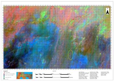
Our Portfolio
Check out our previous projects on GIS, Drone, Land Surveyor and Mapping Services in Nigeria


For any inquires call now
Contact us
Do you have any query?