
Georeferencing Satellite Imagery
Georeferencing is one of the most important processes in GIS and remote sensing. It ensures that satellite imagery aligns correctly with real-world geographic coordinates so that the image can be accurately used for mapping, analysis, and decision-making. Without proper georeferencing, satellite images may appear shifted, rotated, stretched, or incorrectly positioned on the Earth’s surface, making spatial analysis unreliable.
What is Georeferencing?
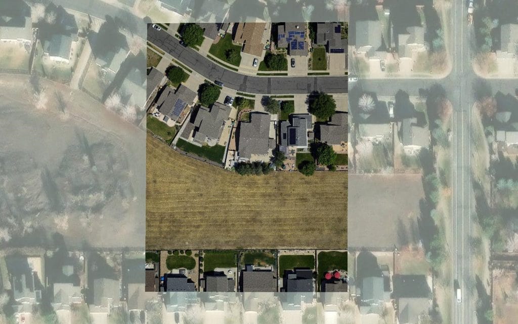
Georeferencing is the process of assigning real-world geographic coordinates to an image, map, or raster dataset. It connects image pixels to actual positions on Earth using coordinate systems and known reference points. In simple terms, georeferencing answers the question:
“Where exactly is this image located on the Earth?” After georeferencing:
- The image aligns with other GIS layers
- Distances and areas become measurable
- Spatial analysis becomes accurate
- Features can be mapped correctly
Why Georeferencing is Important
Georeferencing is essential because raw satellite images may not automatically align perfectly with the Earth’s coordinate system. Errors may occur due to:
- Satellite movement
- Sensor distortions
- Earth curvature
- Terrain variations
- Camera tilt
- Atmospheric conditions
Georeferencing corrects these errors and ensures positional accuracy.
Types of Georeferencing
- Image-to-Map Georeferencing: The image is aligned with an existing map or GIS layer.
- Image-to-Image Georeferencing: One image is aligned with another already georeferenced image.
- Ground Survey Georeferencing: Uses GPS-surveyed points collected in the field. This method provides very high accuracy.
Common Georeferencing Errors
- Poor GCP Selection: Using unclear or inaccurate points reduces accuracy.
- Uneven GCP Distribution: Points concentrated in one area distort the image.
GCPs should cover:
- Corners
- Center
- Entire image extent
- Wrong Coordinate System: Incorrect projections cause misalignment.
- Excessive Distortion: Highly distorted images require advanced correction methods.
Best Practices for Accurate Georeferencing
- Use High-Quality Reference Data: Better reference data improves accuracy.
- Use Permanent Features: Choose stable features unlikely to change over time.
- Distribute GCPs evenly: Cover the entire image.
- Minimize RMS Error: Carefully inspect each control point.
- Use Appropriate Transformation Methods: Simple distortions require simpler transformations.
Georeferencing vs Orthorectification
These terms are related but different.
| Georeferencing | Orthorectification |
| 1. Aligns the image to the coordinates | Removes terrain distortion |
| 2. Uses GCPs | Uses DEMs and sensor models |
| 3. Basic correction | Advanced geometric correction |
Orthorectification is generally more accurate.


