
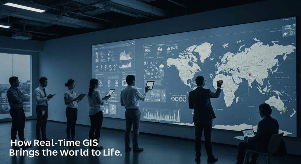
Geographic Information Systems (GIS) have evolved from static spatial analysis tools to dynamic platforms that can process and visualize real-time data. Real-time GIS enables organizations to track live geospatial data streams, facilitating decision-making across industries such as transportation, emergency management, environmental monitoring, and urban planning.
How Real-Time GIS Works
Real-time GIS operates by integrating live data feeds from various sources, including:
- GPS and IoT Sensors – Devices transmitting location-based data.
- Satellite and Aerial Imagery – Constantly updating spatial data.
- Social Media Feeds – Geo-tagged user posts and check-ins.
- Drones and UAVs – Capturing high-resolution aerial footage.
- Environmental Monitoring Stations – Measuring parameters like air quality, temperature, and water levels.
This data is processed and visualized instantly on GIS platforms, allowing users to monitor changes as they happen.
Real-Time GIS Tools and Platforms
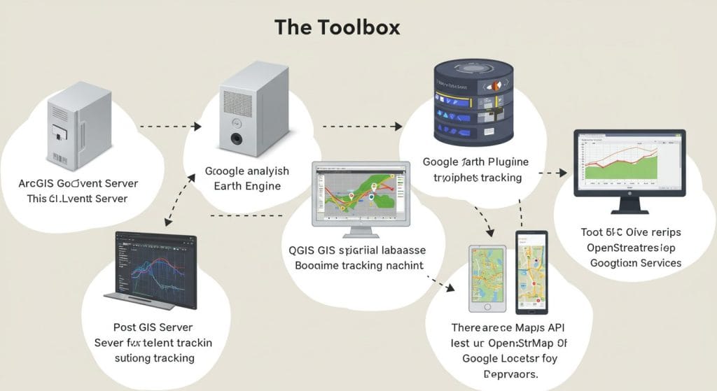
Several tools and platforms facilitate real-time GIS integration:
- ArcGIS GeoEvent Server – Enables live data streaming and geospatial processing.
- Google Earth Engine – Processes satellite imagery for real-time analysis.
- QGIS with Plugins – Supports real-time tracking through open-source plugins.
- PostGIS and Geoserver – Enables spatial database management for real-time applications.
- APIs (Google Maps API, OpenStreetMap, and Esri’s Location Services) – Provide geospatial data integration for web and mobile applications.
Future of Real-Time GIS
Advancements in AI, 5G, and cloud computing will further enhance real-time GIS capabilities. Automated geospatial analysis using machine learning will enable predictive modeling, allowing organizations to anticipate trends rather than just react to them. As more IoT devices and smart city initiatives emerge, real-time GIS will become an essential tool for managing urban infrastructure and environmental resources.


