
The Rise of AI in GIS & Remote Sensing—Will Analysts Become Obsolete?
For years, GIS and remote sensing have been dominated by highly skilled analysts who process satellite imagery, extract insights, and make critical spatial decisions. But with the rapid advancement of artificial intelligence (AI) and machine learning, we have to ask: Is AI coming for GIS jobs?
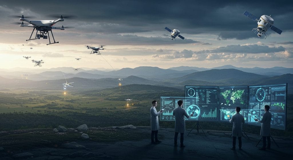
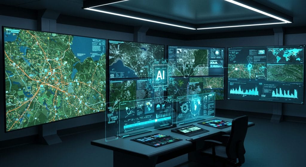
How AI is Transforming GIS & Remote Sensing
- Automated Feature Extraction: Traditional remote sensing analysis requires manual digitization of roads, buildings, water bodies, and land cover types. Now, AI models can do this in seconds with near-human accuracy.
- Change Detection & Environmental Monitoring: AI-driven GIS tools can now analyze multi-temporal satellite imagery to detect changes over time—deforestation, glacier retreat, illegal mining, oil spills, and urban expansion.
- Disaster Prediction & Response: AI in remote sensing is revolutionizing how we predict and respond to disasters. Machine learning algorithms process satellite imagery and weather data to forecast hurricanes, wildfires, floods, and landslides.
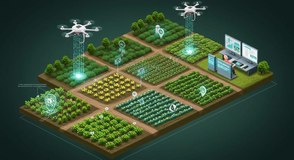
- Smart Agriculture & Precision Farming: AI-powered GIS applications are optimizing agriculture by analyzing NDVI (Normalized Difference Vegetation Index) and thermal imagery to monitor crop health, detect diseases, and optimize irrigation.
Will AI Replace GIS Analysts?
Let’s be real—AI is not coming for all GIS jobs. But it will change the way GIS professionals work. Here’s why:
- AI Needs Supervision: Machine learning models make mistakes. Without human oversight, AI could misclassify land cover, overestimate disaster risks, or misinterpret complex geospatial patterns.
- Domain Expertise Still Matters: AI lacks the contextual knowledge that human analysts bring. A machine might detect “urban growth,” but only a GIS analyst can interpret the socio-economic implications.
- Data Cleaning & Preprocessing Can’t Be Ignored: AI relies on clean, structured datasets. GIS analysts will still be needed to preprocess, validate, and fine-tune spatial data.
- Not All Problems Have AI Solutions (Yet): While AI excels at pattern recognition, many GIS applications require creativity, problem-solving, and decision-making—things AI is still far from mastering.
The Future: AI + GIS Analysts = The Ultimate Power Duo
Instead of replacing GIS analysts, AI will act as a force multiplier—handling repetitive tasks, automating processes, and crunching big data while analysts focus on interpretation, decision-making, and strategy.
What GIS Professionals Should Do:
- Learn AI-powered GIS tools (Google Earth Engine, ArcGIS Deep Learning, QGIS ML plugins).
- Understand machine learning basics (Python, TensorFlow, Scikit-Learn).
- Adapt! The future of GIS isn’t about fighting AI—it’s about working with it.
Final Thoughts: Should We Fear or Embrace AI in GIS?
AI is revolutionizing GIS and remote sensing, but it’s not making GIS analysts obsolete—it’s making them more powerful. The smartest GIS professionals will embrace AI, learn to integrate it into their workflows, and become the new generation of geospatial experts.


