
In today’s fast-changing geospatial world, drones have become essential tools for professionals involved in surveying, mapping, and land management. Knowing how to pilot a drone is no longer just a technical advantage, it’s now a fundamental skill that defines the modern surveyor.
The Emergence of Drone Surveying
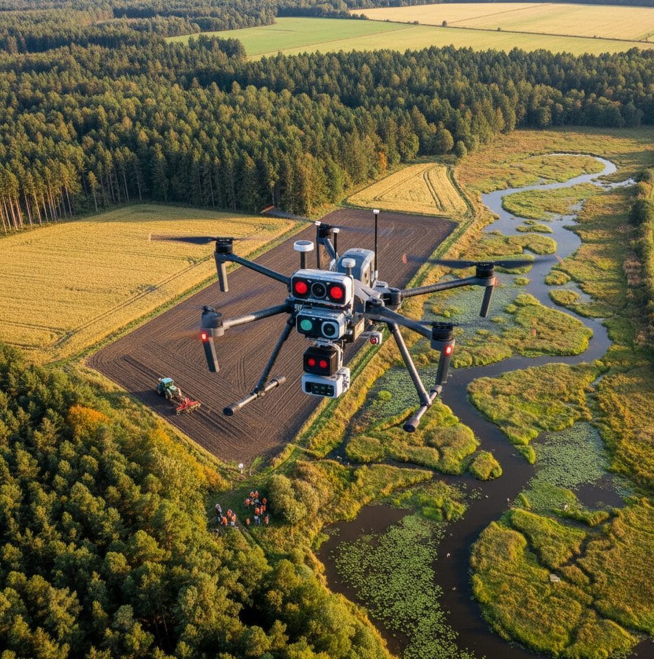
Drones, also known as Unmanned Aerial Vehicles (UAVs), have transformed the way surveyors capture and analyze spatial data. While traditional ground surveys remain reliable, they can be slow and restricted by difficult terrain. Drones overcome these challenges, allowing surveyors to collect high-resolution imagery, 3D terrain data, and orthomosaic maps quickly and efficiently.
The Value of Drone Pilot Training
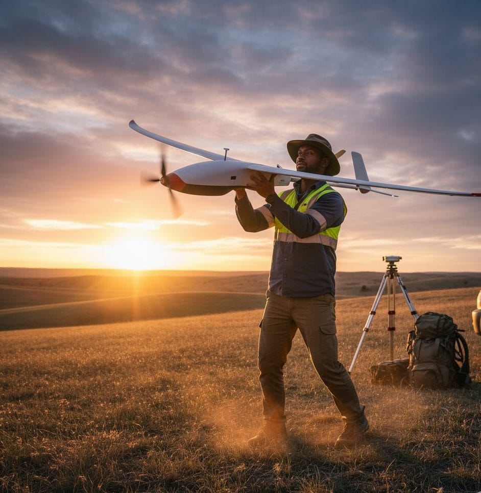
Completing drone pilot training provides surveyors with the skills and certification needed to operate UAVs responsibly and within regulatory frameworks. Training covers airspace laws, flight planning, equipment care, and advanced imaging techniques such as photogrammetry. This not only improves data accuracy but also ensures adherence to aviation safety standards vital for any professional operation.
Expanding the Scope of Surveying
- Topographic Mapping
This involves using drone imagery to create digital elevation models (DEMs) and contour maps that represent the Earth’s surface. capture hundreds or thousands of overlapping aerial photos of a terrain. These images are processed using photogrammetry software to generate accurate 3D models. Traditional topographic surveys with total stations or GPS can take days or weeks, especially in rugged areas. Drones can cover the same area in a few hours, producing detailed elevation data and contour lines with high spatial resolution. Engineering design, land grading, watershed analysis, and infrastructure planning.
- Construction Monitoring:
In construction projects, drones are now used for progress tracking and site management. Surveyors fly drones periodically (e.g., weekly or monthly) over a construction site to capture consistent aerial imagery. The images are then used to generate Orth mosaics and 3D models showing the current state of the site. helps engineers, contractors, and project managers visualize work progress, identify potential delays, and ensure that construction follows design specifications. Applications include:- Volume estimation (e.g., earthworks), safety inspections, project documentation, and stakeholder reporting.
- Environmental Studies
Drones support environmental monitoring by providing up-to-date, high-resolution data on ecosystems and land conditions. Drones equipped with RGB, multispectral, or thermal cameras capture imagery that can be analyzed to detect changes in vegetation health, soil moisture, erosion patterns, or land use. Traditional field surveys often cover limited areas, but drones can monitor large landscapes quickly and repeatedly, allowing for better understanding of environmental changes over time. Deforestation mapping, wetland monitoring, crop health assessment, and erosion control studies.
- Disaster Response:
In emergency management, drones play a crucial role in providing rapid situational awareness. Immediately after a disaster such as flooding, wildfires, or landslides drones can be deployed to capture aerial imagery of the affected areas. The data helps identify damage extent, blocked roads, and areas needing urgent attention. Drones can access dangerous or hard-to-reach areas faster and safer than ground teams or manned aircraft. They enable responders to make quick, informed decisions. Search and rescue planning, infrastructure damage assessment, post-disaster mapping, and resource allocation.
Drones have transformed geospatial applications by providing fast, accurate, and cost-effective data collection. Whether for mapping terrain, monitoring development, protecting the environment, or managing disasters, UAV technology empowers surveyors and decision-makers with real-time insights that traditional methods cannot match.
From Imagery to Insight
Drone-based aerial data collection does more than provide attractive visuals—it delivers actionable information. With powerful processing software, surveyors can convert drone images into measurable data for precision mapping, volume estimation, and terrain modeling. When integrated with GIS, these datasets enhance spatial analysis and improve decision making throughout a project’s lifecycle.
Gaining a Competitive Advantage
As demand grows for faster and more detailed survey outputs, possessing drone surveying skills gives professionals a clear edge. Those with drone certification can merge traditional methods with modern UAV mapping solutions, increasing efficiency, productivity, and client trust in their capabilities.
Conclusion
Technology is redefining the future of surveying, and drone operation is at the forefront of that transformation. Learning to fly drones is no longer optional, it’s essential. By mastering drone pilot skills, today’s surveyors can achieve greater accuracy, speed, and innovation in their work. Whether mapping landscapes or capturing aerial data for analysis, drone pilot training is the key to staying relevant and excelling in the geospatial field.


