
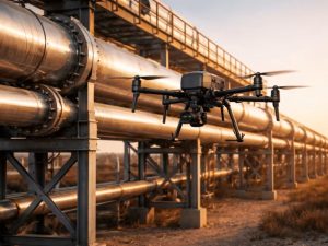
Oil and gas pipelines transport essential resources across long distances. However, pipeline...


YOU MAY ALSO LIKE...
Oil and gas pipelines transport essential resources across long distances. However, pipeline...
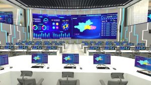
Modern organisations need more than information to manage operations effectively. They need the...
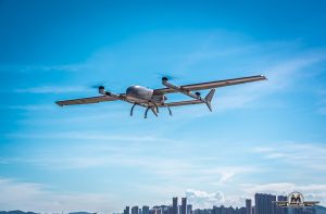
Oil and gas companies manage critical infrastructure that requires regular monitoring and...
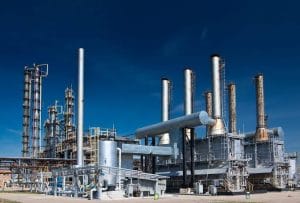
Oil and gas facilities operate around the clock, and many assets require regular monitoring during...

Live monitoring of critical oil and gas infrastructure using drones Nigeria's oil and gas industry...

Businesses need reliable ways to protect their facilities, monitor operations and respond to...