SURVEYING AND
GEO-INFORMATION
TECHNOLOGY
Committed to on-time product delivery, accurate and precise data.
CLIENTS


Why Choose us
We are Professional Surveyors & GIS Specialist
We offer High-Level Drone and Land Surveying Services, for high and precise measurement.

Geotechnical Survey
Data Processing and Analysis
GIS & Mapping

Aerial and Satellite Data Collection
SERVICE LIST
We take your industry to the next level. Support Service Geoinfotech

Drone (Survey, Inspection, Surveillance, and Mapping)

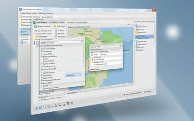
Geographic Information System

Land Surveying

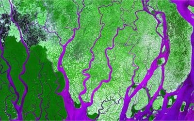
Remote Sensing and Satellite Mapping

Hydrographic Survey (Bathymetry)

Geophysical Survey

Training (Beginners to Advance / Professional)

GeoStore (Buy Products) Hardware / Software
Our Portfolio
Check out our previous projects on GIS, Drone, Land Surveyor and Mapping Services in Nigeria
Deliver accurate and quality results
We work with Latest Equipment and Software
DRONE SERVICES
DRONE SURVEY
- Topographic Survey
- Cadastral Survey
- Engineering Survey
- Mining Survey
- Bathymetry (Hydrography) Survey
- Reconnaissance Survey
- RGB, Thermal, and LIDAR Survey
DRONE INSPECTION
- Power Line Inspection
- Cell site
- Drainage
- Areas difficult to access
- Construction (Road, Building, Bridges, Mast, etc)
- Preventive maintenance planning and optimised production
- Access to areas that pose health, safety and environmental risk to humans
- Quick on-site deployment of the drone inspection system
DRONE DATA PROCESSING & MAPPING
- Orthophoto (Mapping)
- Contour / Elevation
- Digital Surface Model (DSM) and Digital Terrain Model (DTM)
- Point Cloud
- Slope,
- Hydrology (Flood, Catchment Area, Cut and Fill, Flow Direction, Flow Accumulation, Basin, Watershed)
- Data Delineation (Digitizing) Buildings, Road, Riverine area (Swamp, lake, sea, etc)
- Detailed 2D and 3D Models
- Drone Training
- Corporate Drone Consulting
- More…
Surveying and Geoinformatics
- Land Survey
- Bathymetry Survey
- Drone Survey
Data accuracy in surveying, analysis and mapping
We deliver better understanding of the earth surface
Download free and paid datasets, software, and maps. Get the best quality UAV (Drone) Products, GPS, Manuals, and other GeoTech Equipment.
Training
- Geographic Information System
- Remote Sensing
- Drone
- Surveying
100% Practical and Advance Training
Explore our courses and establish a strong foundation of knowledge and skills
For any inquires call now
Contact us
Do you have any query?
WHAT OUR CLIENTS SAY
HYDROLOGICAL ANALYSIS IN ARCGIS PRO: Watershed Delineation and Stream Network Extraction
Hydrological analysis is essential for understanding watershed dynamics, managing water resources,...
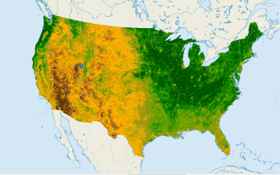
NDVI (Normalized Difference Vegetation Index): What It Is and How to Use It
Vegetation health assessment is a crucial part of environmental monitoring, precision agriculture,...
CHOOSING THE RIGHT VEGETATION INDEX FOR YOUR GIS PROJECT
Vegetation indices are essential tools in remote sensing and GIS for analyzing plant health,...
INSTALLING AND VISUALIZING DATA IN QGIS – Series 2
In our first post, we explored what QGIS is, why it matters, and how organizations use it for...
MAPPING THE FUTURE: HOW GIS POWERS SMART CITIES
When we talk about “smart cities,” we often imagine self-driving cars, intelligent traffic lights,...
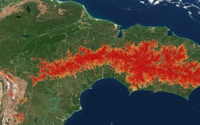
TRACKING DEFORESTATION OVER TIME USING LANDSAT DATA IN GOOGLE EARTH ENGINE
Forests are among Earth’s most vital ecosystems, but they’re vanishing at an alarming rate. From...


