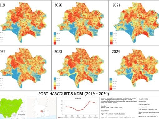
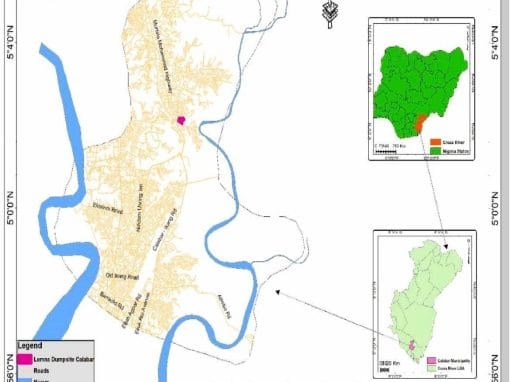
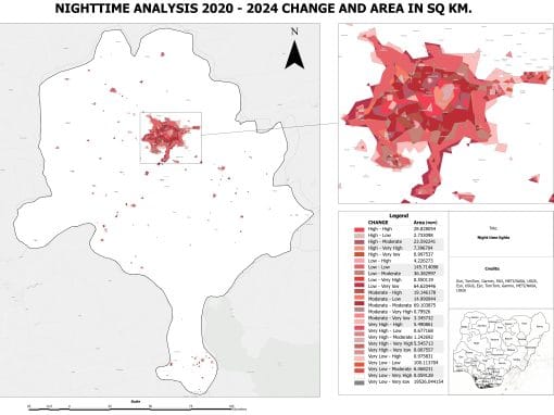
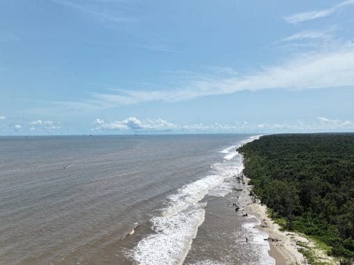
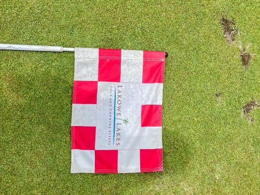
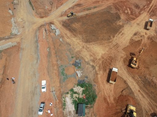
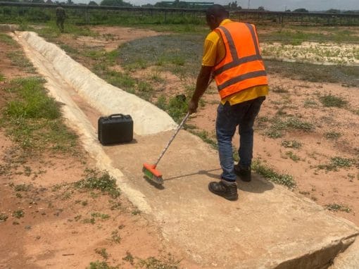
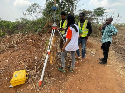
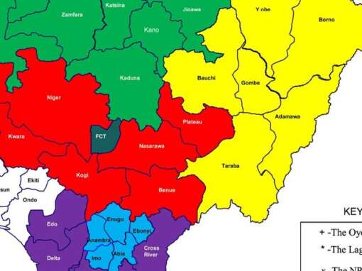
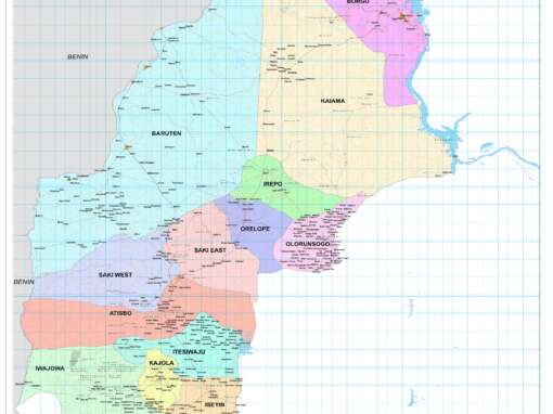
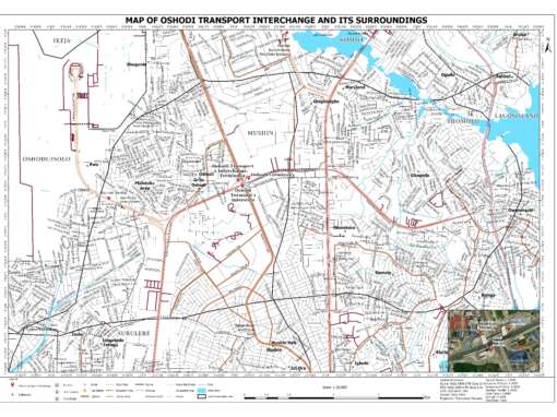
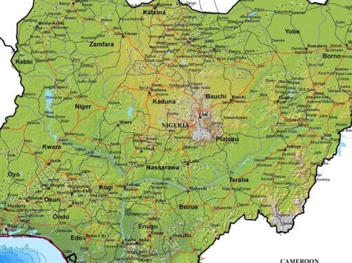
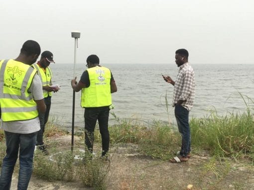
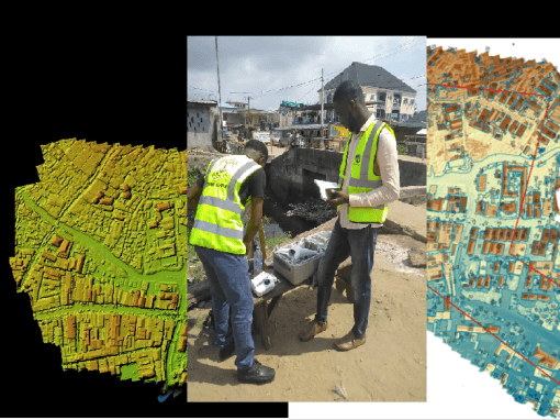
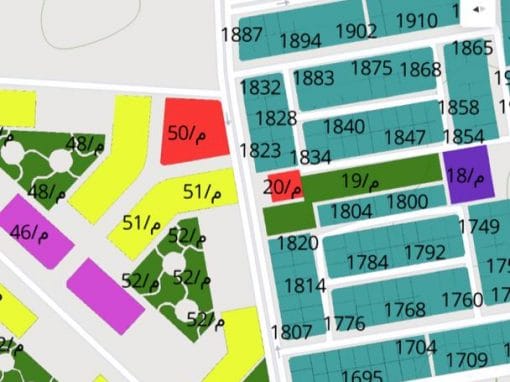
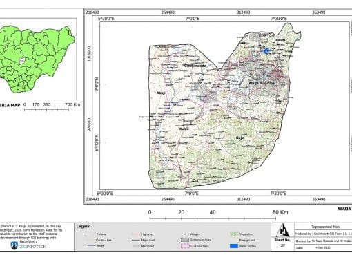
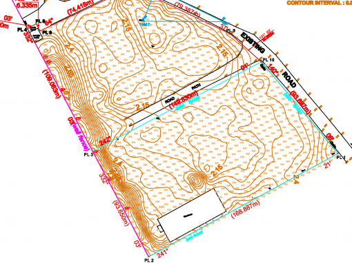
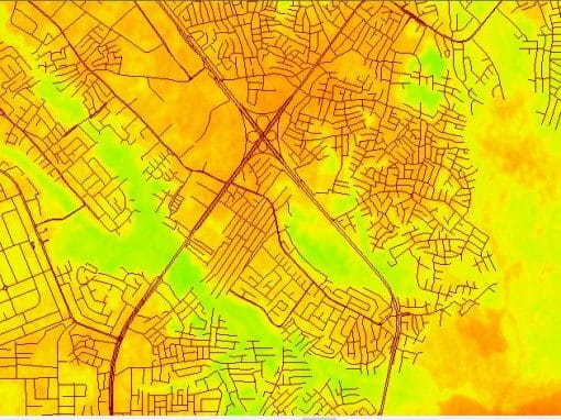
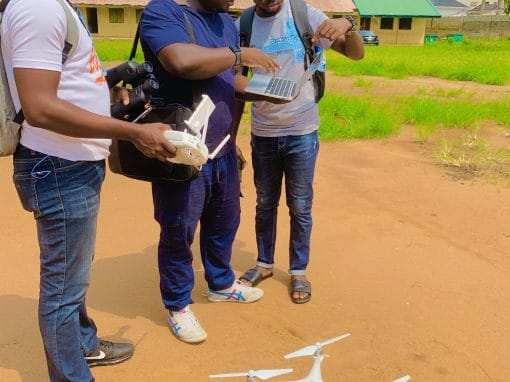
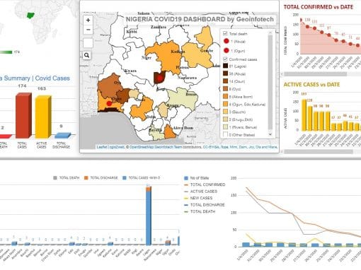
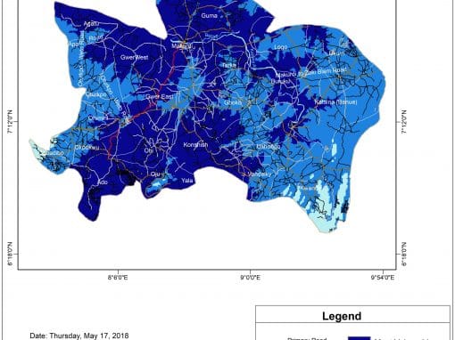
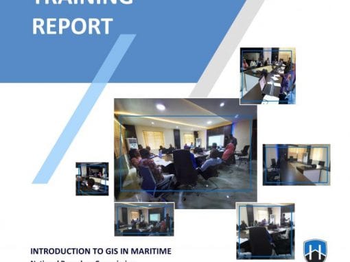
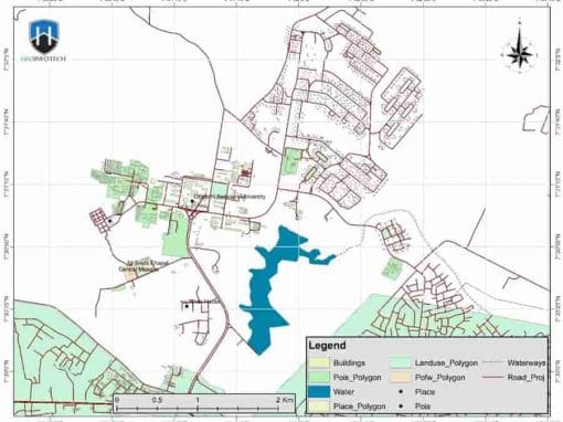
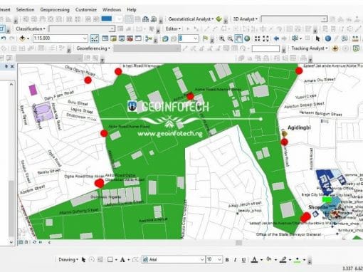
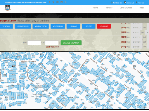
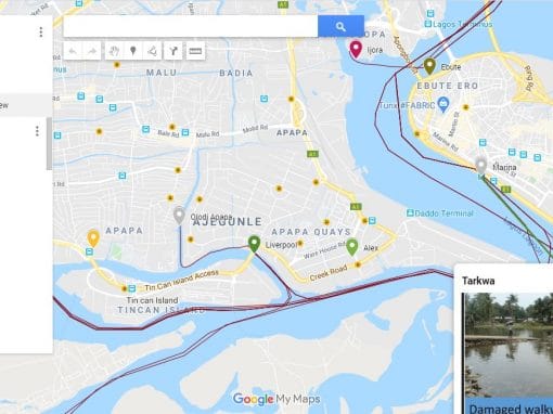
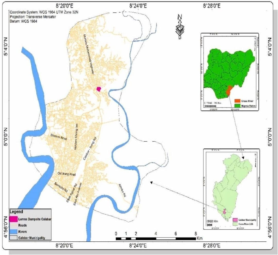
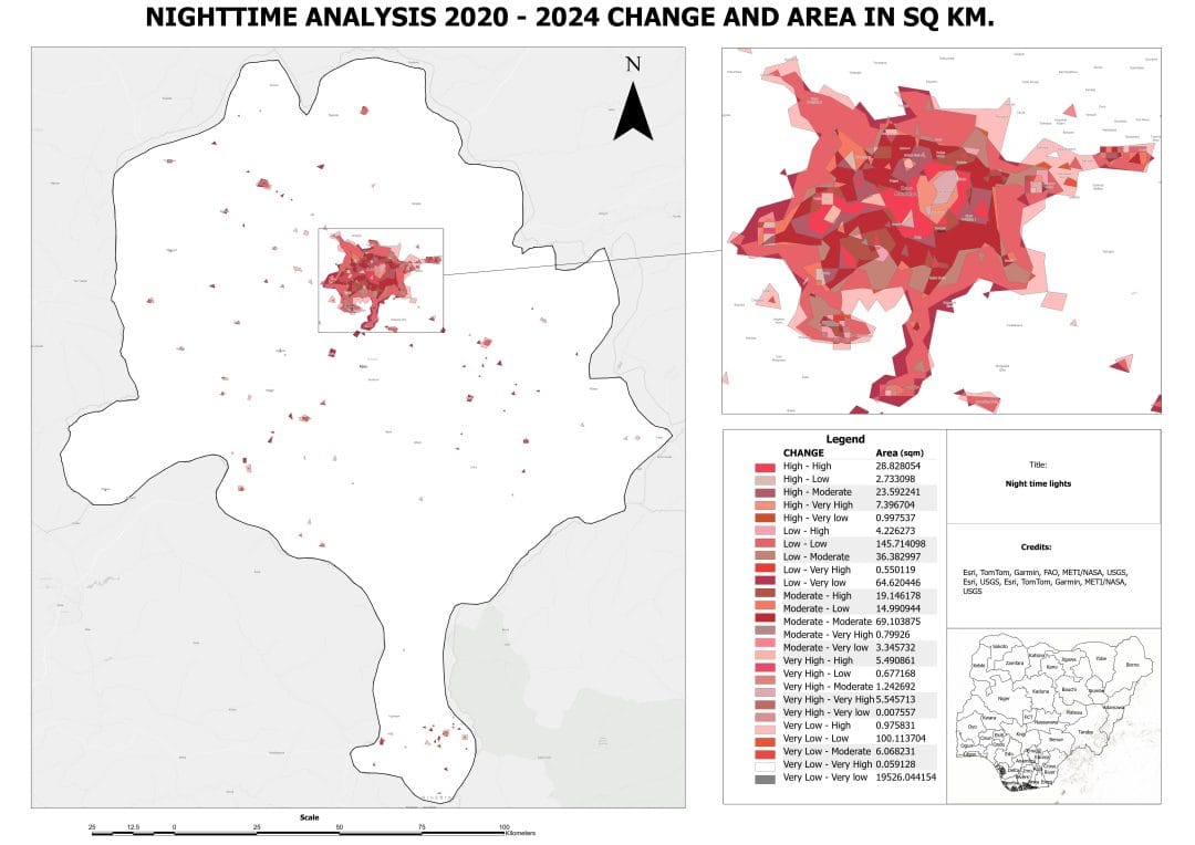
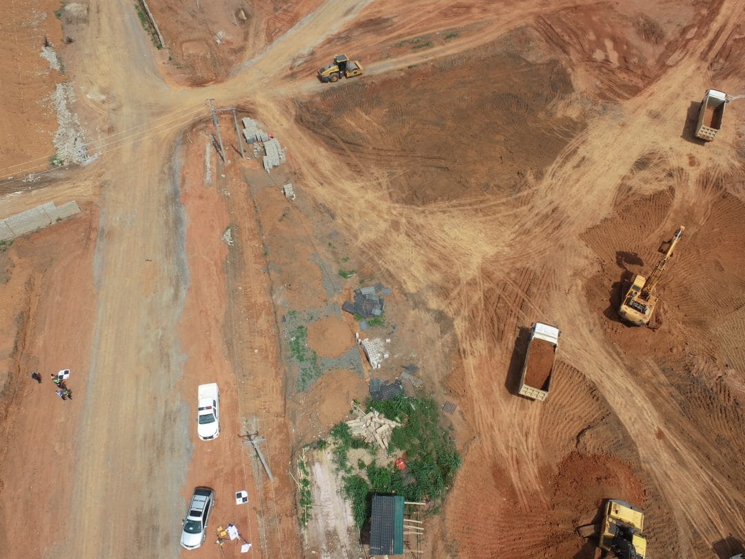
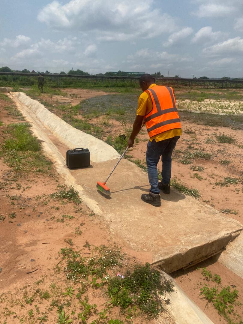
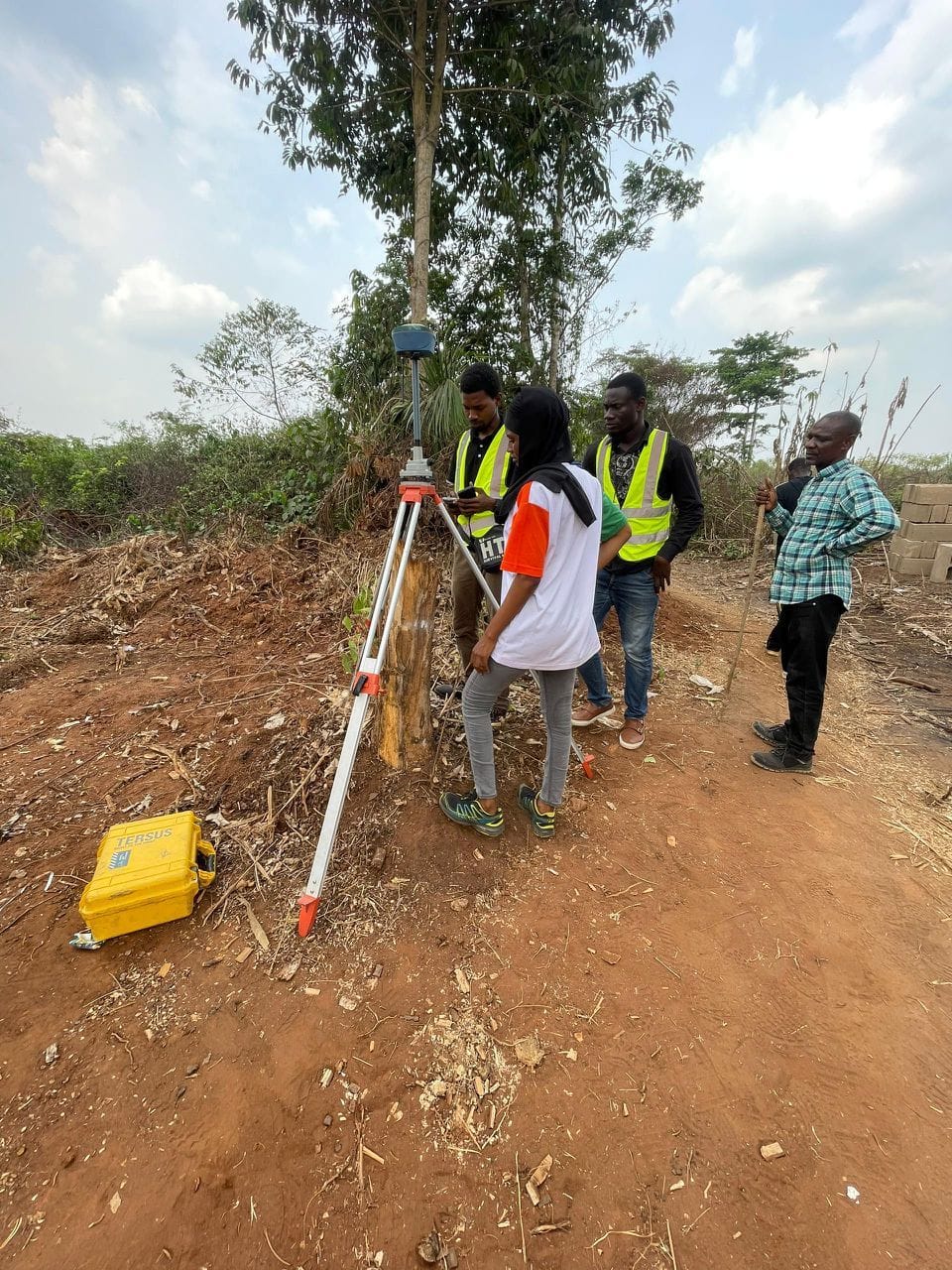
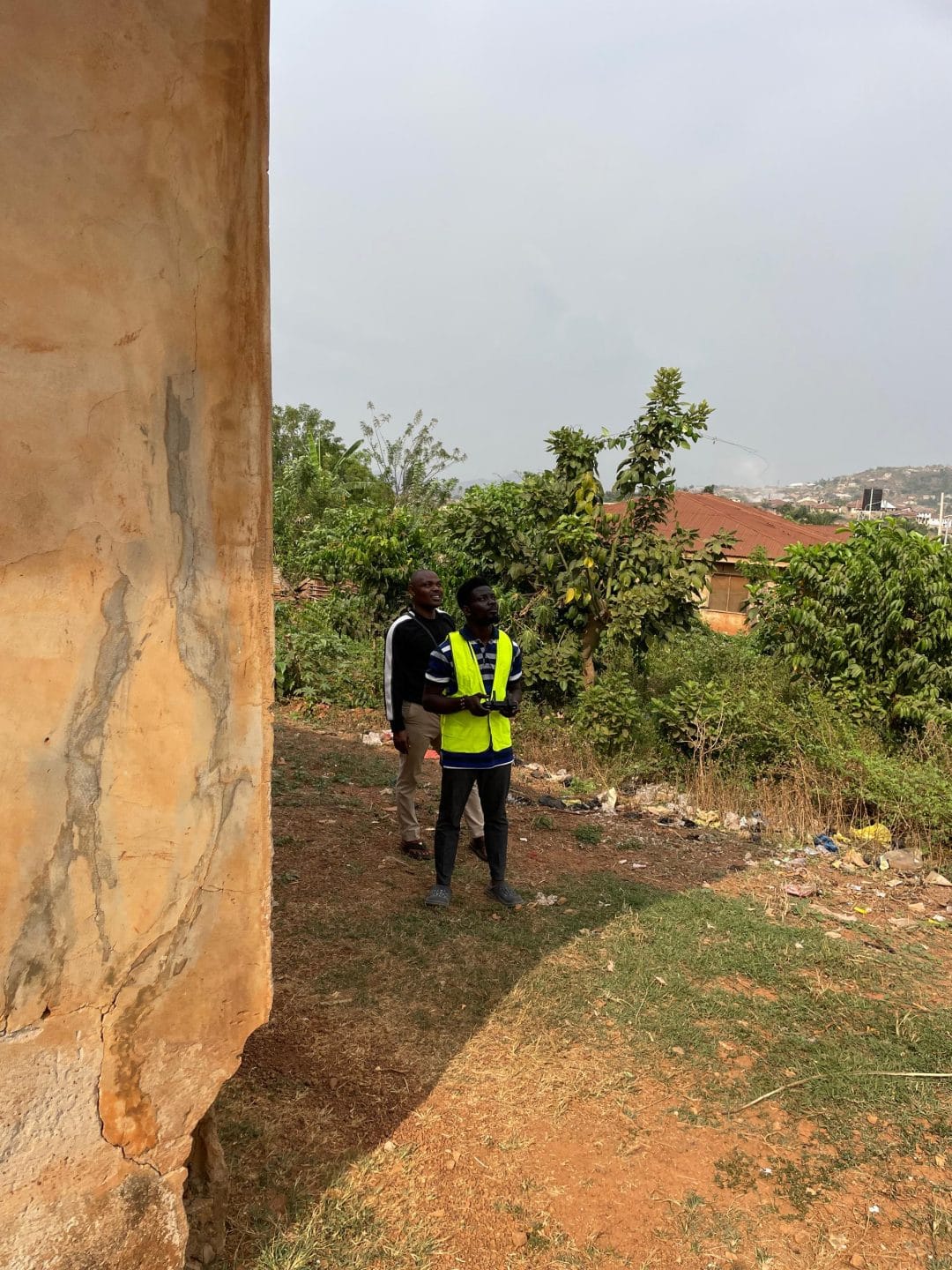
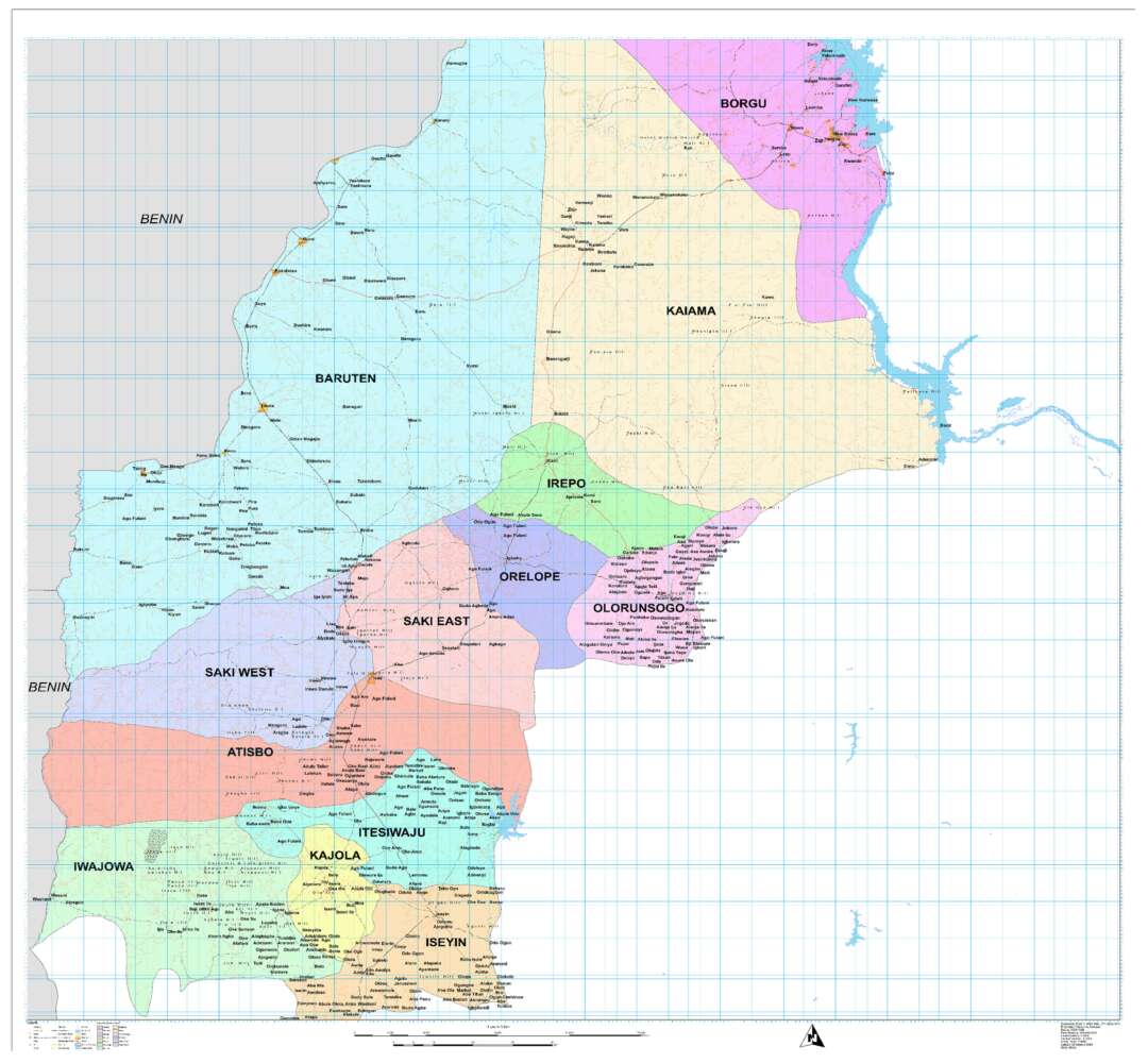
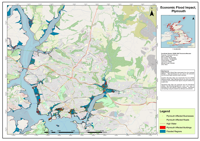
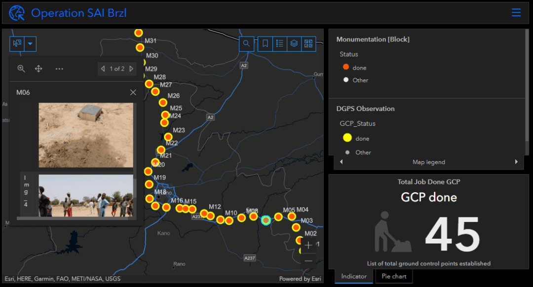
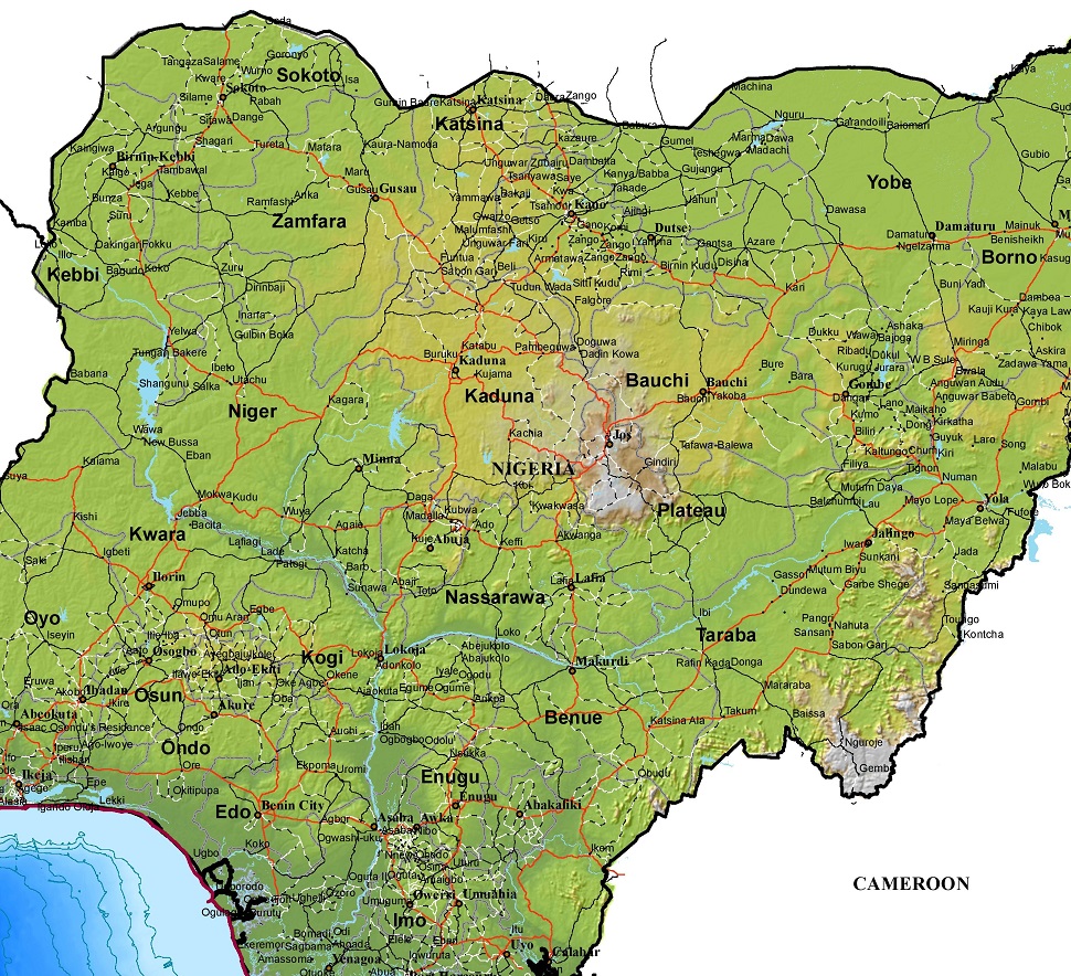
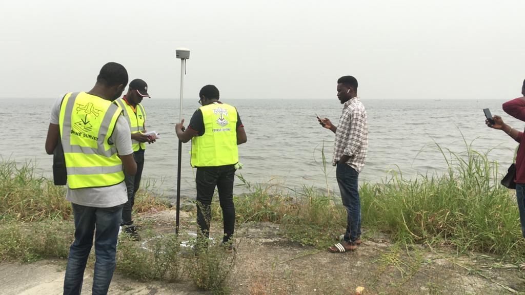
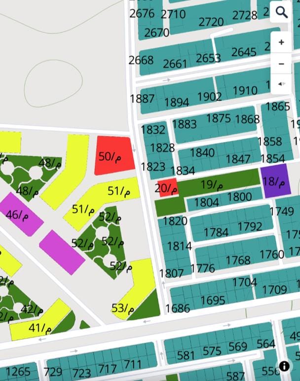
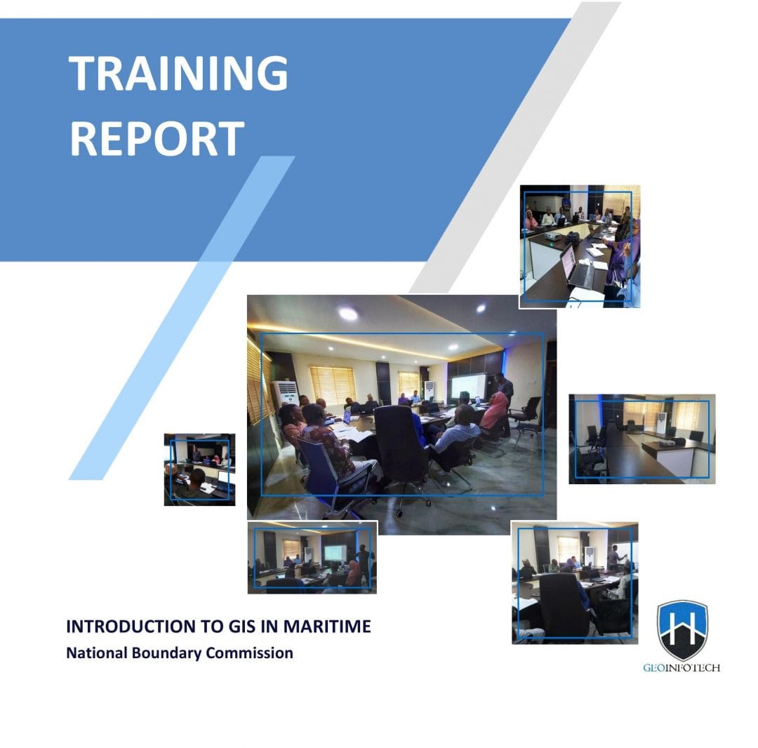
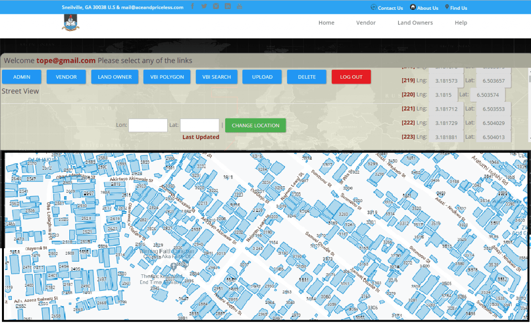
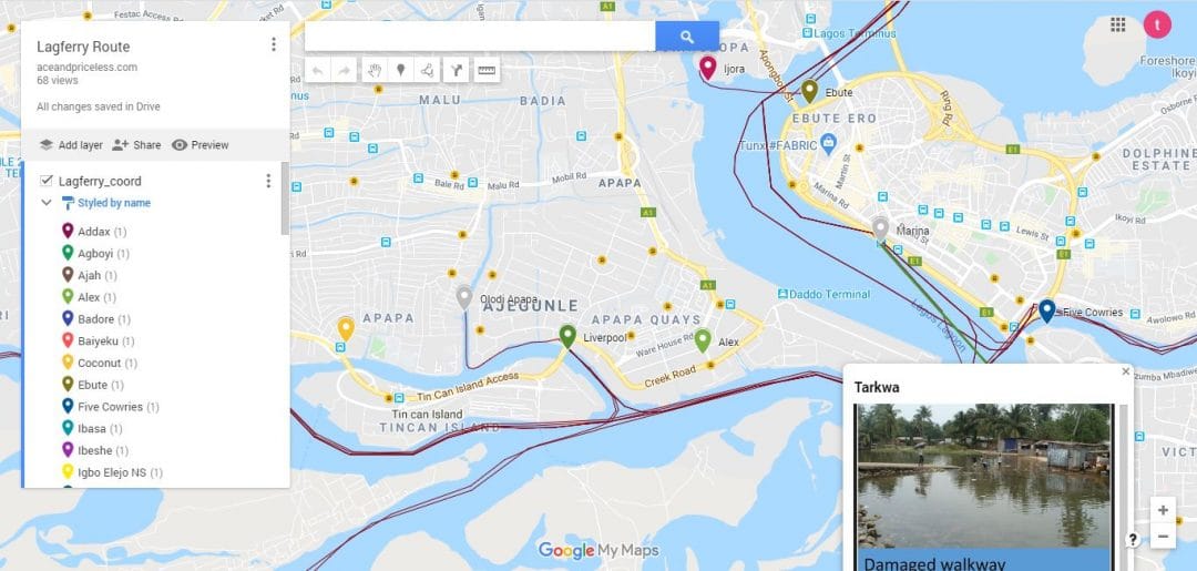
Urbanization and Air Pollution Dynamics in Port HarcourtJuly 31, 2025 URABN HEAT ISLAND EFFECT IN CALABAR MUNICIPALJuly 31, 2025 ANALYZING URBANIZATION TRENDS IN KANO STATE, NIGERIA USING NIGHTTIME LIGHTS REMOTE SENSING DATAJuly 24, 2025 COMPREHENSIVE OFFSHORE SURVEILLANCE AND MARITIME INFRASTRUCTURE MONITORINGJuly 23, 2025 Comprehensive Aerial Survey and Mapping for Golf Course Asset Management at Lakowe Golf LakeJune 24, 2025 Professional Drone Training Program for Enhanced Corporate Security Operations at Sahara GroupJune 24, 2025 Advanced Aerial Topographic Survey and Mapping for Land Development in Ogun StateJune 20, 2025 Precision RGB and Thermal Imaging Revolutionizes Solar Infrastructure Inspection In EnuguMay 19, 2025 Advanced Drone-Based Topographic Survey for Precision Land Development PlanningApril 15, 2025 Mapping the Future: Comprehensive Area Survey Transforms Land Development in AkureApril 8, 2025 Precision Topographical Survey and Mapping for Smarter Infrastructure PlanningApril 4, 2025 Precision Drone Volumetric Surveys: How Purechem Industries Optimized Mineral Stockpile ManagementApril 4, 2025 Precision Topographical Survey and Mapping for Smarter Infrastructure PlanningApril 4, 2025 Advanced Mapping & Environmental Survey for Ilubirin Property, Lagos IslandApril 4, 2025 Unveiling the Invisible: LiDAR Technology Transforms Terrain Analysis in Abeokuta NorthApril 4, 2025 Drone Surveying and Mapping at Kiara Rice Mill by GeoinfotechMay 20, 2024 5-Day GIS Training for Shiwinis Integrated Services LimitedMay 17, 2024 LAND USE/LAND COVER MAPPING AND ANALYSIS OF AKURE, NIGERIAMay 10, 2024 DETAILED AERIAL, LAND SURVEY AND GIS ANALYSIS FOR ADVANCED REAL ESTATE DEVELOPMENTMarch 4, 2024 Professional Drone Mapping and GIS Training For ETA-ZUMA Mining CompanyMarch 3, 2024 Installation of Intelligent Traffic LightsJune 13, 2023 Geological Report on a Mining/Exploration SurveyApril 29, 2023 Drone Survey and Mapping of Shaishen Foods LimitedApril 21, 2023 Gold Site Suitability Analysis in North AfricaApril 9, 2023 Lidar Topographic Mapping ProjectMarch 17, 2023 Geophysical/hydrogeophysical Studies for Groundwater DevelopmentMarch 16, 2023 Togo Digital Terrain Model ProjectMarch 3, 2023 Drone Mapping of Parts of Lome Rail Line for Graceland Energy Located at Lome TogoFebruary 17, 2023 Drone/land Survey of Pure-chem Industrial Limited, Ogun State.January 10, 2023 Drone Inspection/survey of Southern Lake Estate, Chevron, Lekki, Lagos StateJanuary 9, 2023 Anniversary-Workshop on the Application of Remote Sensing and Drone Technology in GIS -AbujaJanuary 9, 2023 Topographic Mapping of Oyo StateJanuary 9, 2023 Topographic Mapping of Part of the Local Government Areas in Oyo StateJanuary 8, 2023 Topographic Mapping of Part of Kwara, Ekiti and Kogi State Local Government AreaJanuary 8, 2023 Political Map of South West, Nigeria Located in NigeriaJanuary 6, 2023 Topographic Mapping of Parts of Niger State Located at Niger State, NigeriaJanuary 6, 2023 Topographic Mapping of Part of Kwara, Ekiti, and Kogi State Local Government Area Located in NigeriaJanuary 6, 2023 Topographic Mapping of Part of Kwara State Local Government Area Located at Kwara State NigeriaJanuary 6, 2023 Guide Map of Oshodi Transport Interchange Located in LagosJanuary 6, 2023 Flood Analysis of Amuwo-odofin Orthophoto.January 6, 2023 Site Inspection Using Drone of Water Corporation Located at Oke-aro AgegeJanuary 5, 2023 24,000 meter Lome Rail Line for Drone Mapping, Graceland Energy Located at Lome, TogoJanuary 4, 2023 10 Drone Inspection Traffic Signal in LagosOctober 14, 2022 Lagos October 1st Free GIS Training WorkshopOctober 3, 2022 Abuja GIS Training 12th of August 2022September 19, 2022 Osun state parcel projectAugust 18, 2022 Drone Mapping & Vectorization Of Abu-allied FarmAugust 18, 2022 Proposal for aerial deployment, tracking and monitoring of threats in victoria island phase 1 and ikoyi phase 2, nigeriaJune 8, 2022 Jabi Lake Mall Solar Inspection – AbujaMay 12, 2022 Ground Control and Drone Survey for Mast 3D ModelingMarch 2, 2022 Telecom Drone 3D and 2D Modeling of CellsiteFebruary 25, 2022 Free GIS Spatial Analysis Training (Lagos Branch)February 9, 2022 800 Building Plots Aerial Capture and Delineation for Database. Greenfield EstateNovember 6, 2021 100 Hectares Aerial Survey with Differential GPS of High AccuracyNovember 6, 2021 Protected: Nigeria Crime Report and DashboardSeptember 12, 2021 Drone Survey and Mapping – Victoria Island CopyAugust 5, 2021 Akwa-Ibom 500 Hectares Drone Survey and Mapping in NigeriaJune 26, 2021 Ground Control Establishment – Republic of the Niger – Kano, Kastina, Jigawa, KadunaJune 22, 2021 Drone Survey and Mapping – Victoria IslandJune 22, 2021 Control Point Establishment – DGPSJune 22, 2021 Land Survey – Northern NigeriaJune 22, 2021 Biodiversity Mapping – SwedenJune 9, 2021 Flood Impact Mapping – United KingdomJune 4, 2021 M and E GIS Dashboard for Control Establishment ProjectJune 2, 2021 Geodatabase Management System Training For National Boundary CommissionJune 2, 2021 Nigeria Topographic Map – ProjectJune 2, 2021 Abuja Training on Introduction to GISJune 2, 2021 200 Hectares Land and Drone Survey – Lagos NigeriaMarch 1, 2021 Inspection of 30 hectares drainageJanuary 14, 2021 Drainage Drone Mapping and Surveying in Lagos NigeriaDecember 20, 2020 GIS Cadastral Mobile ApplicationDecember 20, 2020 Abuja Topographical Map – HD GIS MappingDecember 20, 2020 Ground Topography Survey (Lagos Island)December 20, 2020 2.7km2 Topography Survey in Snake IslandNovember 15, 2020 GIS MasterclassNovember 15, 2020 Sokoto Contour MapSeptember 26, 2020 NDVI Vegetation Assessment in Lagos StateSeptember 26, 2020 Lagos drone training master classSeptember 26, 2020 Ifako drone topographic survey and mappingAugust 3, 2020 CMD Lagos 3D mapping aerial modelingAugust 3, 2020 3D Modeling – Lagos State University (FSS)August 2, 2020 GIS and Drone MasterclassAugust 2, 2020 Drone aerial survey and mapping – Lagos Island _ SomoluAugust 2, 2020 Drone Pilot Mapping and Aerial PhotographyJuly 8, 2020 AutoCAD Mapping and SurveyingJuly 8, 2020 Mapping with GIS for Maritime BoundaryJune 28, 2020 GIS for Maritime using ArcGIS and QGISJune 28, 2020 Migrating from ArcMap to ArcGIS ProJune 18, 2020 Getting started with Web Mapping using ArcGISJune 18, 2020 Geographic Information System – Python, SQL, DBMSJune 15, 2020 Introduction to GIS [NYSC Special]June 15, 2020 Drone Photography and VideographyJune 10, 2020 Introduction to Remote SensingMay 1, 2020 Introduction to GISMay 1, 2020 Drone Training for BeginnersApril 20, 2020 Covid-19 | Nigeria Data VisualisationApril 2, 2020 Benue Flood AnalysisMarch 26, 2020 Aerial photography Ile-Ife Osun StateMarch 26, 2020 Kenya Forest ProjectMarch 26, 2020 Tunsun Consultants LtdFebruary 24, 2020 Introduction To Gis In Maritime at the National Boundary CommissionJanuary 25, 2020 Training on GIS and Drone Mapping (batch-4 & 5)November 16, 2019 Osun Flood MappingNovember 13, 2019 Lahass International LimitedNovember 6, 2019 Linguistic Association of NigeriaNovember 6, 2019 West African Indexing ServicesOctober 26, 2019 Lagos Ikeja Road Network MapAugust 26, 2019 LASU Land Regularisation PortalApril 4, 2018 Lingua Plus InternationalMarch 26, 2018 Lagferry Web RouteApril 4, 2017 AllDrone operation and mappingGIS and Remote sensingTraining and WorkshopWeb Application URABN HEAT ISLAND EFFECT IN CALABAR MUNICIPALGeographic Information System (GIS) category, GIS and Remote sensing, Remote Sensing category ANALYZING URBANIZATION TRENDS IN KANO STATE, NIGERIA USING NIGHTTIME LIGHTS REMOTE SENSING DATAGeographic Information System (GIS) category, GIS and Remote sensing, Remote Sensing category COMPREHENSIVE OFFSHORE SURVEILLANCE AND MARITIME INFRASTRUCTURE MONITORINGDrone category, Drone operation and mapping, Remote Sensing category, Surveying Comprehensive Aerial Survey and Mapping for Golf Course Asset Management at Lakowe Golf LakeDrone category, Drone operation and mapping, Surveying Professional Drone Training Program for Enhanced Corporate Security Operations at Sahara GroupDrone category, Drone operation and mapping, Geographic Information System (GIS) category, GIS and Remote sensing, Organisation Training, Training and Workshop Advanced Aerial Topographic Survey and Mapping for Land Development in Ogun StateDrone category, Drone operation and mapping, Geographic Information System (GIS) category, GIS and Remote sensing, Surveying Precision RGB and Thermal Imaging Revolutionizes Solar Infrastructure Inspection In EnuguDrone category, Drone operation and mapping, GIS and Remote sensing, Surveying Advanced Drone-Based Topographic Survey for Precision Land Development PlanningDrone category, Drone operation and mapping, Geographic Information System (GIS) category, GIS and Remote sensing, Surveying Mapping the Future: Comprehensive Area Survey Transforms Land Development in AkureDrone operation and mapping, Geographic Information System (GIS) category, GIS and Remote sensing, Remote Sensing category Precision Topographical Survey and Mapping for Smarter Infrastructure PlanningDrone operation and mapping, Surveying Precision Drone Volumetric Surveys: How Purechem Industries Optimized Mineral Stockpile ManagementDrone operation and mapping, Geographic Information System (GIS) category Advanced Mapping & Environmental Survey for Ilubirin Property, Lagos IslandDrone category, Drone operation and mapping, GIS and Remote sensing, Surveying Unveiling the Invisible: LiDAR Technology Transforms Terrain Analysis in Abeokuta NorthDrone operation and mapping, Surveying DETAILED AERIAL, LAND SURVEY AND GIS ANALYSIS FOR ADVANCED REAL ESTATE DEVELOPMENTDrone operation and mapping, Geographic Information System (GIS) category, Surveying Professional Drone Mapping and GIS Training For ETA-ZUMA Mining CompanyDrone operation and mapping, Organisation Training, Training and Workshop Installation of Intelligent Traffic LightsDrone operation and mapping Geological Report on a Mining/Exploration SurveyDrone operation and mapping, Geographic Information System (GIS) category, Remote Sensing category Drone Survey and Mapping of Shaishen Foods LimitedDrone category, Drone operation and mapping Lidar Topographic Mapping ProjectDrone category, Drone operation and mapping, GIS and Remote sensing Geophysical/hydrogeophysical Studies for Groundwater DevelopmentGeographic Information System (GIS) category, GIS and Remote sensing, Remote Sensing category Togo Digital Terrain Model ProjectGeographic Information System (GIS) category, GIS and Remote sensing, Remote Sensing category Drone Mapping of Parts of Lome Rail Line for Graceland Energy Located at Lome TogoDrone category, Drone operation and mapping Drone/land Survey of Pure-chem Industrial Limited, Ogun State.Drone category, Drone operation and mapping Drone Inspection/survey of Southern Lake Estate, Chevron, Lekki, Lagos StateDrone category, Drone operation and mapping Anniversary-Workshop on the Application of Remote Sensing and Drone Technology in GIS -AbujaOrganisation Training, Training and Workshop Topographic Mapping of Oyo StateGeographic Information System (GIS) category, GIS and Remote sensing, Remote Sensing category Topographic Mapping of Part of the Local Government Areas in Oyo StateGeographic Information System (GIS) category, GIS and Remote sensing, Remote Sensing category Topographic Mapping of Part of Kwara, Ekiti and Kogi State Local Government AreaGeographic Information System (GIS) category, GIS and Remote sensing Political Map of South West, Nigeria Located in NigeriaGeographic Information System (GIS) category, GIS and Remote sensing Topographic Mapping of Parts of Niger State Located at Niger State, NigeriaGeographic Information System (GIS) category, GIS and Remote sensing Topographic Mapping of Part of Kwara, Ekiti, and Kogi State Local Government Area Located in NigeriaGeographic Information System (GIS) category, GIS and Remote sensing Topographic Mapping of Part of Kwara State Local Government Area Located at Kwara State NigeriaGeographic Information System (GIS) category, GIS and Remote sensing Flood Analysis of Amuwo-odofin Orthophoto.Geographic Information System (GIS) category, GIS and Remote sensing, Remote Sensing category Site Inspection Using Drone of Water Corporation Located at Oke-aro AgegeDrone category, Drone operation and mapping 24,000 meter Lome Rail Line for Drone Mapping, Graceland Energy Located at Lome, TogoDrone category, Drone operation and mapping 10 Drone Inspection Traffic Signal in LagosDrone category, Drone operation and mapping Lagos October 1st Free GIS Training WorkshopTraining and Workshop Osun state parcel projectGeographic Information System (GIS) category, GIS and Remote sensing Drone Mapping & Vectorization Of Abu-allied FarmDrone operation and mapping, Surveying Proposal for aerial deployment, tracking and monitoring of threats in victoria island phase 1 and ikoyi phase 2, nigeriaDrone operation and mapping Jabi Lake Mall Solar Inspection – AbujaDrone operation and mapping Ground Control and Drone Survey for Mast 3D ModelingDrone category, Drone operation and mapping, Geographic Information System (GIS) category Telecom Drone 3D and 2D Modeling of CellsiteDrone category, Drone operation and mapping, Geographic Information System (GIS) category Free GIS Spatial Analysis Training (Lagos Branch)Geographic Information System (GIS) category, Training and Workshop 800 Building Plots Aerial Capture and Delineation for Database. Greenfield EstateDrone category, Drone operation and mapping, Geographic Information System (GIS) category, GIS and Remote sensing, Remote Sensing category 100 Hectares Aerial Survey with Differential GPS of High AccuracyDrone category, Drone operation and mapping, Surveying Protected: Nigeria Crime Report and DashboardGeographic Information System (GIS) category, GIS and Remote sensing Drone Survey and Mapping – Victoria Island CopyDrone category, Drone operation and mapping, Surveying Akwa-Ibom 500 Hectares Drone Survey and Mapping in NigeriaGIS and Remote sensing Ground Control Establishment – Republic of the Niger – Kano, Kastina, Jigawa, KadunaGIS and Remote sensing, Surveying Drone Survey and Mapping – Victoria IslandDrone category, Drone operation and mapping, Surveying Control Point Establishment – DGPSGeographic Information System (GIS) category, GIS and Remote sensing, Surveying Land Survey – Northern NigeriaGeographic Information System (GIS) category, GIS and Remote sensing, Surveying Biodiversity Mapping – SwedenGeographic Information System (GIS) category, GIS and Remote sensing Flood Impact Mapping – United KingdomGeographic Information System (GIS) category, GIS and Remote sensing M and E GIS Dashboard for Control Establishment ProjectGeographic Information System (GIS) category, GIS and Remote sensing Geodatabase Management System Training For National Boundary CommissionGIS and Remote sensing, Organisation Training Nigeria Topographic Map – ProjectGeographic Information System (GIS) category, GIS and Remote sensing Abuja Training on Introduction to GISGeographic Information System (GIS) category, GIS and Remote sensing, Training and Workshop 200 Hectares Land and Drone Survey – Lagos NigeriaDrone operation and mapping Inspection of 30 hectares drainageDrone operation and mapping Drainage Drone Mapping and Surveying in Lagos NigeriaDrone operation and mapping GIS Cadastral Mobile ApplicationWeb Application Abuja Topographical Map – HD GIS MappingGIS and Remote sensing Ground Topography Survey (Lagos Island)GIS and Remote sensing, Surveying 2.7km2 Topography Survey in Snake IslandDrone operation and mapping, GIS and Remote sensing GIS MasterclassTraining and Workshop Sokoto Contour MapGIS and Remote sensing NDVI Vegetation Assessment in Lagos StateGIS and Remote sensing Lagos drone training master classTraining and Workshop Ifako drone topographic survey and mappingDrone operation and mapping, GIS and Remote sensing CMD Lagos 3D mapping aerial modelingDrone operation and mapping, GIS and Remote sensing GIS and Drone MasterclassDrone operation and mapping, GIS and Remote sensing Drone aerial survey and mapping – Lagos Island _ SomoluDrone operation and mapping Covid-19 | Nigeria Data VisualisationGIS and Remote sensing, Web Application Benue Flood AnalysisDrone operation and mapping, GIS and Remote sensing Aerial photography Ile-Ife Osun StateDrone operation and mapping, GIS and Remote sensing Kenya Forest ProjectDrone operation and mapping, GIS and Remote sensing Tunsun Consultants LtdWeb Application Introduction To Gis In Maritime at the National Boundary CommissionGIS and Remote sensing, Training and Workshop Training on GIS and Drone Mapping (batch-4 & 5)Drone operation and mapping, GIS and Remote sensing, Training and Workshop Osun Flood MappingDrone operation and mapping, GIS and Remote sensing Lahass International LimitedWeb Application Linguistic Association of NigeriaWeb Application West African Indexing ServicesWeb Application Lagos Ikeja Road Network MapDrone operation and mapping, GIS and Remote sensing LASU Land Regularisation PortalDrone operation and mapping, GIS and Remote sensing, Web Application Lingua Plus InternationalWeb Application Lagferry Web RouteGIS and Remote sensing, Web Application