As referred in part 1 of understanding coordinate systems in GIS, the coordinates systems are divided into 2 parts : Geographic and Projected coordinate system.
This part will visualise the practical aspect of choosing coordinates. There are several ways to choose a coordinate system on Arc GIS Pro but this blog will concentrate o0n just 2 ways:
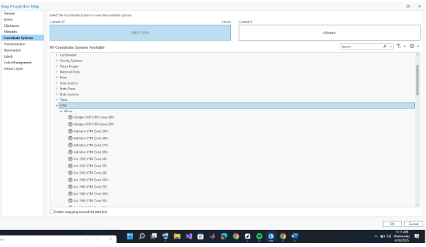
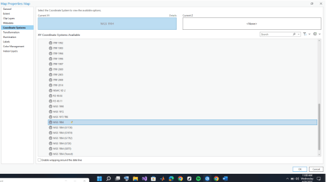
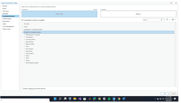
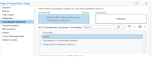
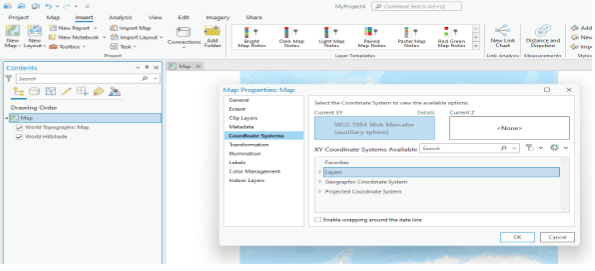
The first way is to apply a coordinate system for the whole map area: you set your coordinate from your content pane.
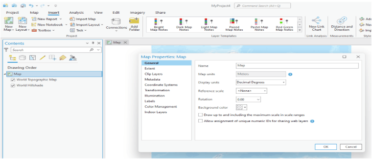
- Right click on map on your content pane, the click on coordinate systems
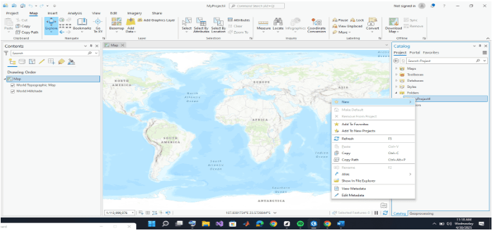
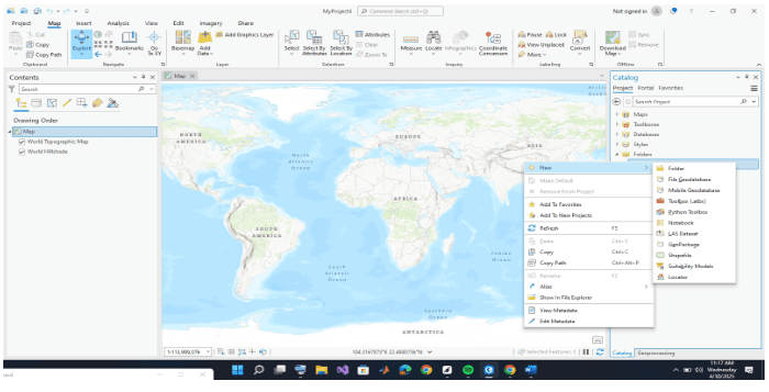
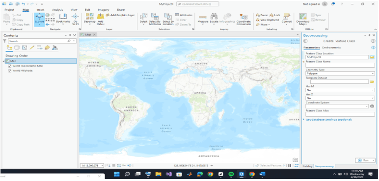
The second way is to access the coordinate system from your catalogue pane after creating a shapefile:
- Right click on folder the catalogue pane
- click on new and create new shapefile; Then select your desired coordinate system
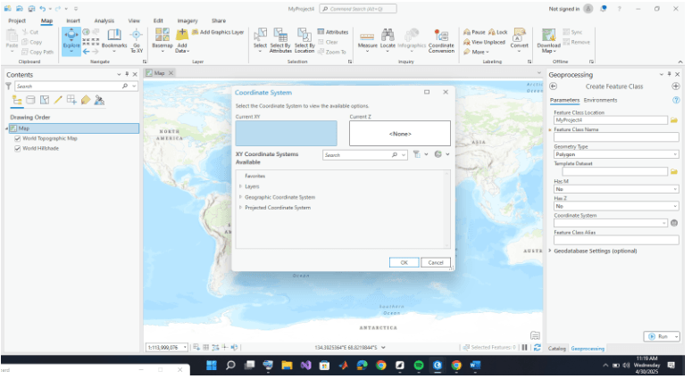
From these method you can the pick on your desired coordinate system