

If you’ve ever seen a new building rise, a road being constructed, or farmland divided for sale, a land surveyor was there before the first shovel touched the ground.
In Nigeria, land surveying is the backbone of every successful project. The goal is straightforward: measure land accurately, map it precisely, and provide the correct information so projects can commence and complete successfully.
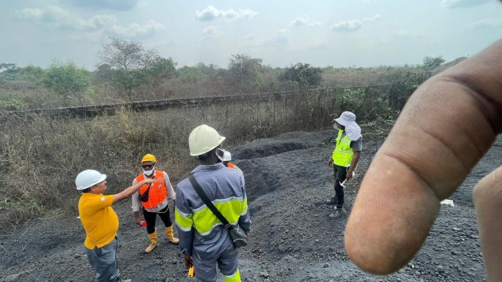
Today, modern land surveying in Lagos and other parts of Nigeria extends beyond traditional tools like tape measures and compasses. With advanced tools like GNSS receivers, drones, total stations, and digital mapping software, surveyors can deliver results that are faster, more reliable, and legally recognised.
Why Surveying Comes First in Every Project
Starting a project without a land survey is like building a house without a foundation; it will eventually lead to problems. Without proper surveying, you risk:
- Disputes over land boundaries
- Costly construction mistakes
- Project delays that waste time and money
A professional land survey gives you a blueprint of the land itself. It shows the real features, not assumptions, so that every decision is backed by accurate data.
Common Types of Land Surveys in Nigeria
1. Boundary Survey
Defines exactly where your land begins and ends. This is crucial in Nigeria, especially when buying property, selling land, or resolving boundary disputes. A licensed surveyor in Lagos can prepare survey plans that are legally recognised.
2. Topographic Survey
Shows the natural and man-made features of the land, such as slopes, trees, rivers, or buildings. Engineers and architects rely on this when planning roads, housing estates, or drainage systems.
3. Construction Survey
Guides builders by marking out exact locations on the ground so structures are built in the right spot. This ensures every stage matches approved designs.
How Modern Surveying Tools Make a Difference
Surveying has evolved far beyond theodolites and chains. Today, professional surveyors in Nigeria use:
- GNSS survey tools: deliver centimetre-level accuracy for boundary surveys
- Drones: capture large areas in minutes with high-resolution aerial maps
- Mapping software and 3D models: turn raw data into interactive maps for better decision-making


Benefits of Modern Surveying:
- Faster and More Accurate Data Collection: Large areas are surveyed quickly without sacrificing accuracy.
- Smarter Planning: Drones and GNSS tools help align construction with approved designs.
- Better Decisions: 3D models and maps reveal challenges before work begins.
- Consistent Quality: From start to finish, surveying ensures compliance with engineering and legal standards.
The Surveying Process: Step by Step
If you’re planning a project in Lagos or anywhere in Nigeria, here’s how professional surveying works:
- Planning: Review project goals and land documents.
- Data Collection: Gather accurate information using GNSS, drones, and total stations.
- Data Processing: Convert raw data into maps and 3D models.
- Marking Out: Guide construction teams by marking exact build locations.
- Final Survey: Verify completed work and provide certified survey documentation.
Why You Need a Professional Land Surveyor in Lagos (or Anywhere in Nigeria)
Surveying isn’t just about tools; it’s also about legal knowledge. A licensed Nigerian surveyor ensures:
- Land documents are interpreted correctly
- Measurements comply with Nigerian surveying laws
- Certified survey plans are produced for land registration or court use
Hiring a professional surveyor protects your investment, avoids disputes, and ensures your project is legally valid.
Why Work with Geoinfotech
At Geoinfotech, we combine modern technology with years of professional experience to deliver trusted land surveying services in Lagos and across Nigeria.
We offer:
- Certified surveyors with expertise in boundary, topographic, and construction surveys
- Advanced tools like GNSS survey equipment, drones, and digital mapping systems
- Legally defensible survey documents recognised in Nigeria
- Proven results across construction, agriculture, real estate, and infrastructure projects
Start your project the right way. Contact Geoinfotech today for accurate, professional land surveying services in Lagos and all across Nigeria.


