
- This event has passed.
Managing Geospatial Data in ArcGIS

Managing Geospatial Data in ArcGIS
5.0 ![]() (100% Practical) ▪ Exam & Certificate
(100% Practical) ▪ Exam & Certificate


What's Included in this Course
Free Software and Apps
Hands on Practical and Field Experience
Manual, Jotter and Biro
Test, Assessment and Exam
Certificate of Completion
Course Description:
This course takes you on an in-depth exploration of the geodatabase, the native data storage format for ArcGIS software
Course Highlights:
- In-depth exploration: Comprehensive study of geodatabase in ArcGIS software.
- Native data storage: Efficient data management with structured organization.
- ArcGIS software focus: Seamless integration for analysis and visualization.
- Enhanced data management: Advanced skills in design, loading, editing, and querying.
Our Certificate is Recognized by Top Industries

Certificate of completion
![]() Managing Geospatial Data in ArcGIS Mastering and Completion.
Managing Geospatial Data in ArcGIS Mastering and Completion.
![]() Increased job opportunities and career prospects
Increased job opportunities and career prospects
![]() Higher client confidence and trust
Higher client confidence and trust
Courses Modules
1. Why use a geodatabase
B. Understanding the structure and components of a geodatabase
C. Creating a geodatabase in ArcGIS
D. Importing and organizing data into a geodatabase
E. Managing spatial data with feature classes in a geodatabase
F. Working with attribute data using tables in a geodatabase
G. Creating and managing relationship classes in a geodatabase
H. Establishing and maintaining data integrity with geodatabase rules
I. Implementing geodatabase domains for data consistency
J. Leveraging subtypes and attribute domains in a geodatabase
2. Improving data integrity with geodatabase structure
B. Understanding the importance of data integrity in spatial data management
C. Overview of geodatabase structure and its components
D. Creating and managing feature classes and feature datasets in geodatabases
E. Implementing domains and subtypes for data integrity
F. Utilizing attribute rules for data validation and enforcement
G. Enforcing relationships and referential integrity in geodatabases
H. Versioning and editing workflows for maintaining data integrity
I. Implementing geodatabase topology for spatial data integrity checks
J. Leveraging geodatabase behavior and validation rules
3. Associate non geographic data with geographic data
B. Data preparation for data association integrity in spatial data management
C. Importing non-geographic data into ArcGIS
D. Data integration techniques for associating non-geographic data with geographic data
E. Joining tables based on common attributes
F. Relating tables to establish database relationships
G. Linking external data sources to geographic data
H. Attribute queries and selections for data association
I. Spatial joins for combining geographic and non-geographic data
J. Field calculations and data transformations for data association
K. Visualizing associated data
4. Managing raster data
B. Importing and exporting raster data in ArcGIS
C. Georeferencing raster images and correcting spatial alignment
D. Mosaic datasets: Creating and managing large collections of raster data
E. Raster catalog: Organizing and managing raster datasets
F. Raster dataset properties and metadata management
G. Data compression techniques for efficient raster storage
H. Raster data reclassification and resampling
I. Raster data conversion and format transformation
J. Raster data subsetting and extraction
K. Raster dataset enhancement and visualization techniques
L. Raster analysis tools and operations in ArcGIS
M. Raster data time series analysis and management
N. Multi-band raster data management and analysis
5. Designing geodatabase topologies
B. Overview of topology rules and their applications
C. Creating a new geodatabase topology
D. Defining and configuring topology rules for feature classes
E. Understanding different types of topology rules (e.g., connectivity, adjacency, containment)
F. Validating and fixing topology errors in ArcGIS
G. Understanding topology exceptions and managing exception rules
H. Using the Topology Edit toolset for advanced topology editing
I. Topology validation and error reporting
6. Migrating to an enterprise geodatabase
B. Planning the migration process to an enterprise geodatabase
C. Assessing data readiness for migration: data review and cleanup
D. Choosing the appropriate enterprise geodatabase technology (e.g., PostgreSQL, Oracle, SQL Server)
E. Configuring the enterprise geodatabase environment
F. Creating a geodatabase in the enterprise environment
G. Data migration techniques: transferring data to the enterprise geodatabase
H. Schema mapping and data transformation during migration
I. Managing and preserving data relationships during migration
J. Implementing data security and access controls in the enterprise geodatabase
7. Working with enterprise geodatabase
B. Data loading and importing into the enterprise geodatabase
C. Versioning and multi-user editing in the enterprise geodatabase
D. Geodatabase replication and synchronization
E. Backup and recovery strategies for the enterprise geodatabase
8. Editing workflows in a geodatabase
B. Creating and setting up a geodatabase for editing
C. Navigating the editing environment in ArcGIS
D. Editing data attributes: adding, updating, and deleting records
E. Spatial editing techniques: creating, modifying, and deleting features
F. Geometric editing tools: reshape, split, merge, and trace
G. Editing topological relationships in a geodatabase
H. Geodatabase domains: creating and managing attribute value restrictions
I. Managing edits and undo/redo operations in ArcGIS Pro
J. Editing with geodatabase validation rules and constraints
K. Working with subtypes and attribute domains during editing
9. Geoinfotech Online Test
10. Award Of Certificate
Share this course

Weekend Class Training
The flexible weekend class allows working professionals and students to upskill efficiently while gaining immediately applicable knowledge for careers in surveying, agriculture, real estate, construction, environmental management, and related fields. [ninja_form...

Drone Pilot for Beginners
Professional 3 Weekends ▪ Field Experience 5.0 (100% Practical) ▪ Exam & Certificate


Professional 6-7 Weekends ▪ Field Experience 5.0 (100% Practical) ▪ Exam & Certificate
The course AutoCAD for Land Surveying provides participants with practical skills for applying AutoCAD in survey analysis and plotting. Learners will gain hands-on experience in setting up and using AutoCAD software for survey data analysis, precise plotting, accurate...

Professional Drone Training Exam
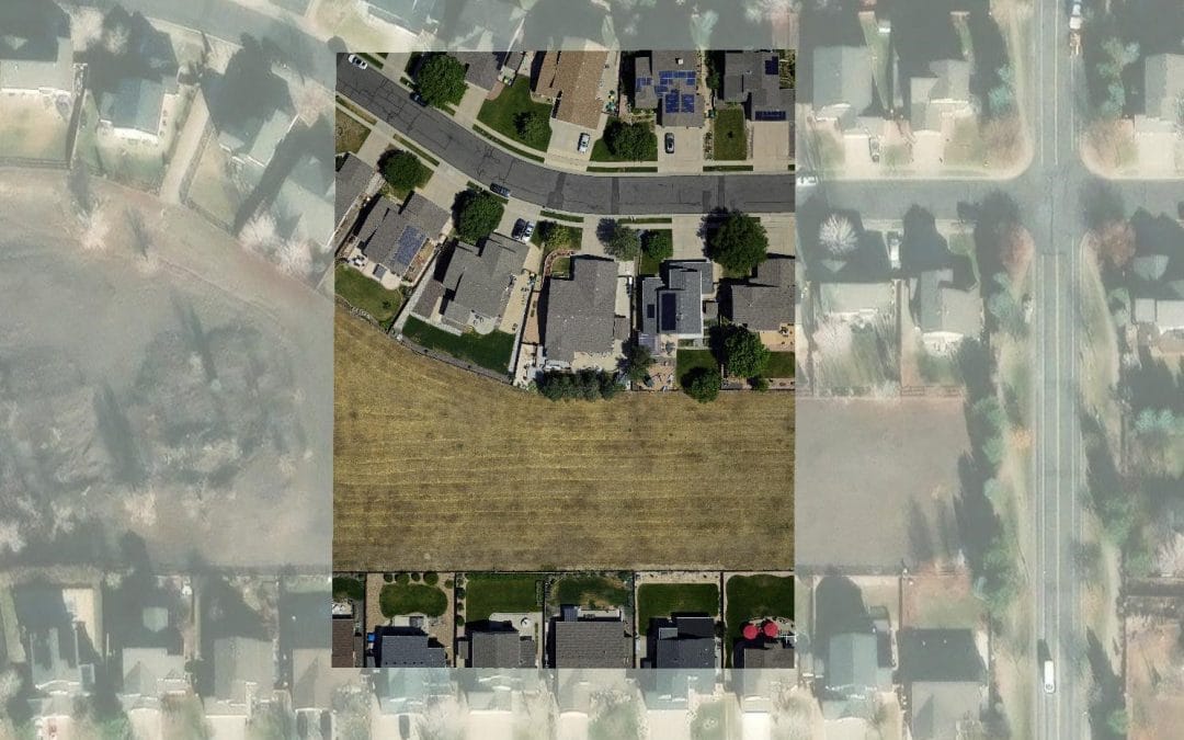
2021 Workshop: Geospatial Analysis in GIS (ArcMap) for Fire Services in Lagos
2021 Workshop on Geospatial Analysis in GIS (ArcMap) for Fire Services in Lagos This analysis helps us on why, where and how many fire services needed to be deployed in Lagos Nigeria. Multicriterial Analysis AHP | Suitability Analysis in GIS Click Here to...

UAV Drone Foundation Exam
Take the drone skills to new heights and train with the Experts at Geoinfotech. Advance your career in Drone Surveying, Photography, 3D Mapping. The next-gen digital learning solution In your own time, learn at your own pace–without taking any time off work....
![[Beginners to Advanced] Geographic Information System (ArcGIS Desktop and ArcGIS Pro)](https://geoinfotech.ng/wp-content/uploads/2020/07/GIS-Online-Training-Geoinfotech-1-1080x675.jpeg)
[Beginners to Advanced] Geographic Information System (ArcGIS Desktop and ArcGIS Pro)
Do you want to learn GIS as a professional with a proper guide online and procedures on executing GIS Projects/Tasks? This introductory course is for you. We have Introduced a step-by-step template, software installation, free data and manual to help you learn and...
![[Beginners to Advanced] AutoCAD for Land Surveying](https://geoinfotech.ng/wp-content/uploads/2025/08/WhatsApp-Image-2025-08-19-at-09.22.28_2dc55c5c-1080x675.jpg)
[Beginners to Advanced] AutoCAD for Land Surveying
The course AutoCAD for Land Surveying provides participants with practical skills for applying AutoCAD in survey analysis and plotting. Learners will gain hands-on experience in setting up and using AutoCAD software for survey data analysis, precise plotting, accurate...
Professional Drone Training Exam
2021 Workshop: Geospatial Analysis in GIS (ArcMap) for Fire Services in Lagos
2021 Workshop on Geospatial Analysis in GIS (ArcMap) for Fire Services in Lagos This analysis helps us on why, where and how many fire services needed to be deployed in Lagos Nigeria. Multicriterial Analysis AHP | Suitability Analysis in GIS Click Here to...
UAV Drone Foundation Exam
Take the drone skills to new heights and train with the Experts at Geoinfotech. Advance your career in Drone Surveying, Photography, 3D Mapping. The next-gen digital learning solution In your own time, learn at your own pace–without taking any time off work....
[Beginners to Advanced] Geographic Information System (ArcGIS Desktop and ArcGIS Pro)
Do you want to learn GIS as a professional with a proper guide online and procedures on executing GIS Projects/Tasks? This introductory course is for you. We have Introduced a step-by-step template, software installation, free data and manual to help you learn and...