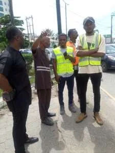
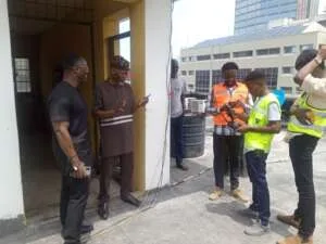
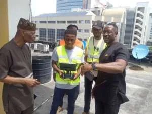
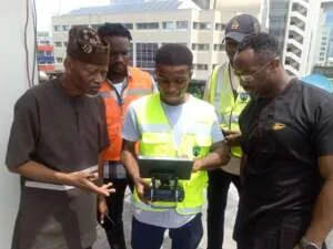
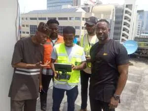
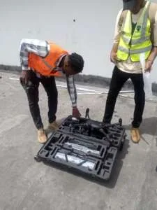
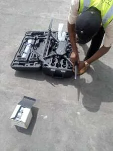
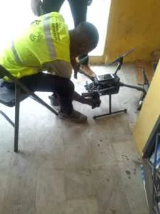
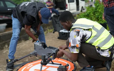
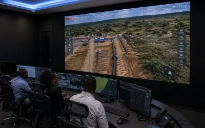
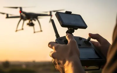
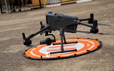
The aim of this project is to deploy drones for monitoring threats in Victoria
Island Phase 1 and Ikoyi Phase 2, Nigeria:
The Specific Objectives are to:
1. identify and respond to all threats quickly and efficiently.
2. capture real-time visual and optical data for immediate analysis
3. analyse data collected during surveillance
4. develop a perimeter route map for the entire site
5. develop a project management reports that can be visualized by both end
user (VIISET and Geoinfotech) periodically every week on all threat
6. develop hotspot map that identify threat status within the area of concern
7. create a geodatabase management system and comprehensive basemap
from the source data
8. ensure cloud back-up for all drone data

Key Features
Up to 33 Minutes of Flight
Time
Powers Onboard Devices
5-Mile Flight Range
Top and Bottom Anti-Collision
Beacons
Built-In RTK Mapping Modules
Obstacle Avoidance
Anti-Collision Beacon
DJI AirSense
Dual Battery System
Additional Payload System
Powerful Precision