Urban planning has evolved from paper maps and manual designs to digital and data-driven systems. Today, Geographic Information System (GIS) technology plays a central role in creating smarter, more efficient cities. Through GIS, planners can visualize data, analyze trends, and make better decisions that improve how people live and interact with their environment.
What Is GIS Technology in Urban Planning?
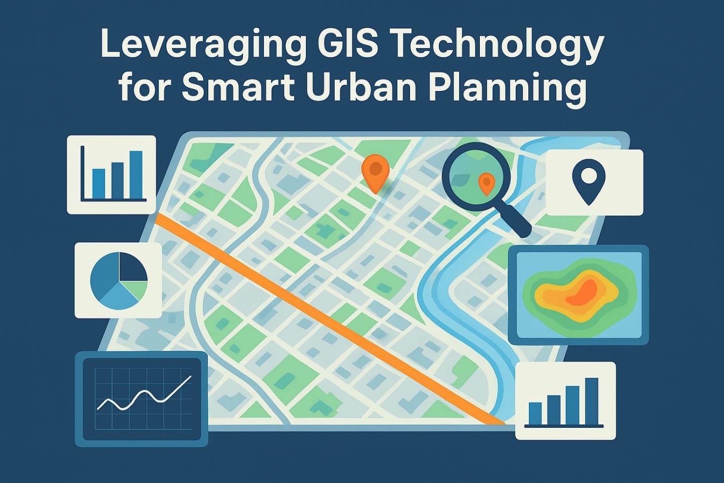
GIS technology combines mapping, spatial data, and analytics to support city development. In simple terms, it helps planners understand how land, resources, and people interact. Moreover, GIS allows experts to layer different types of information—such as population density, transportation networks, and land use—to see how these factors affect each other.
For example, a planner can use GIS to identify areas prone to flooding, monitor traffic flow, or plan the best location for public facilities. As a result, cities can develop more efficiently and sustainably.
How GIS Supports Smart City Development
Smart city initiatives rely heavily on data and technology. With GIS, governments can collect and analyze real-time spatial data to manage services like transportation, housing, and waste. In addition, GIS provides location intelligence that supports decision-making in both short-term and long-term projects.
For instance, in Lagos or Abuja, GIS-based systems help city authorities map roads, control traffic, and track urban growth. Consequently, planners can predict congestion patterns, monitor new developments, and plan road expansions before problems arise.
Furthermore, GIS helps connect multiple agencies—such as water, power, and land administration—allowing them to share accurate data and coordinate better. Therefore, smart urban planning becomes a collaborative, data-driven process that saves time and reduces costs.
Applications of GIS in Urban Management
GIS applications touch almost every aspect of city management. Below are a few examples of how it makes a difference:
- Land Use Planning – GIS helps visualize current land use and simulate future growth. This way, planners can prevent overdevelopment and protect natural areas.
- Infrastructure Management – City engineers use GIS to locate underground utilities, assess building conditions, and manage repairs more efficiently.
- Transportation Planning – GIS tools analyze traffic data to improve routes, reduce congestion, and enhance public transport systems.
- Disaster Management – Emergency planners use GIS to map flood zones, predict risks, and guide evacuation plans.
- Environmental Monitoring – Additionally, GIS supports monitoring of air quality, waste management, and vegetation changes.
Overall, GIS helps cities run more smoothly while protecting the environment and improving citizens’ quality of life.
GIS and Smart Mobility in Nigeria
In Nigerian cities, traffic congestion and poor road design are major challenges. However, GIS is transforming how authorities handle transportation and logistics. By using geospatial data, cities can design efficient road networks and improve navigation systems.
For example, GIS-powered applications can track real-time traffic flow and identify accident-prone areas. Moreover, these insights help reduce travel time and fuel consumption. In turn, smart mobility improves economic productivity and reduces urban stress.
The Future of Urban Planning with GIS
The future of urban development depends on technology, data, and sustainability. GIS will remain at the center of that transformation. Because of this, governments, engineers, and developers must continue to integrate GIS into their workflows.
In the near future, Artificial Intelligence (AI) and the Internet of Things (IoT) will make GIS systems even more powerful. For instance, IoT sensors can feed live data to GIS maps, allowing planners to monitor energy use, air quality, and waste collection in real time. Consequently, cities will become more adaptive, efficient, and environmentally friendly.
Conclusion
GIS technology is more than a mapping tool—it is a decision-making engine for modern urban development. Through geospatial intelligence, planners and city managers can visualize data, predict challenges, and implement smart solutions. In Nigeria, GIS is helping to create safer roads, sustainable housing, and better infrastructure for growing populations.
Ultimately, leveraging GIS for smart urban planning ensures that cities of the future are not only technologically advanced but also inclusive, resilient, and sustainable.