ROUTE TOPO SURVEY AND MAPPING: HOW GEOINFOTECH SUPPORTED THE ENUGU CABLE CAR PROJECT THROUGH ADVANCED GEOSPATIAL SOLUTIONS
Geoinfotech conducted a high-precision Route Topographic Survey and Mapping project for the proposed Enugu Cable Car Project, Enugu State, Nigeria, to support infrastructure planning, route alignment, and engineering design. The project, executed in March 2025, involved UAV aerial mapping, RTK/GNSS surveying, terrain analysis, and the generation of accurate geospatial datasets for effective cable car route development.
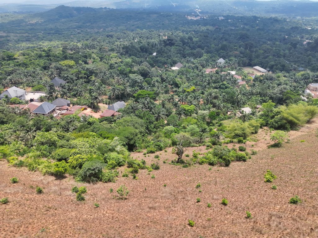
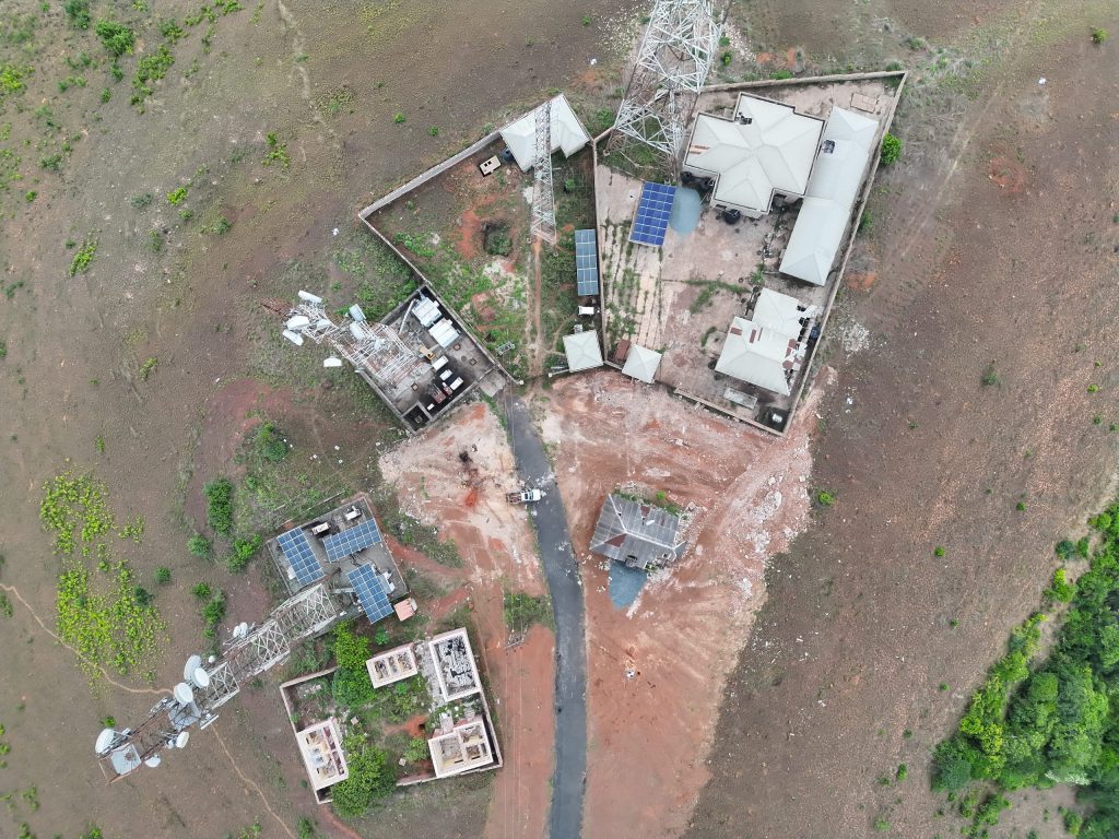
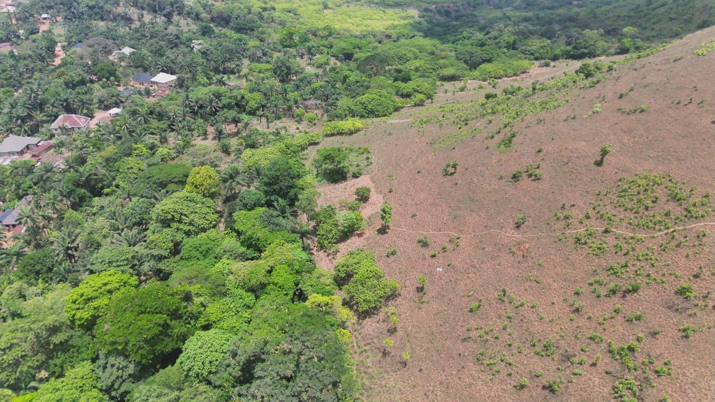
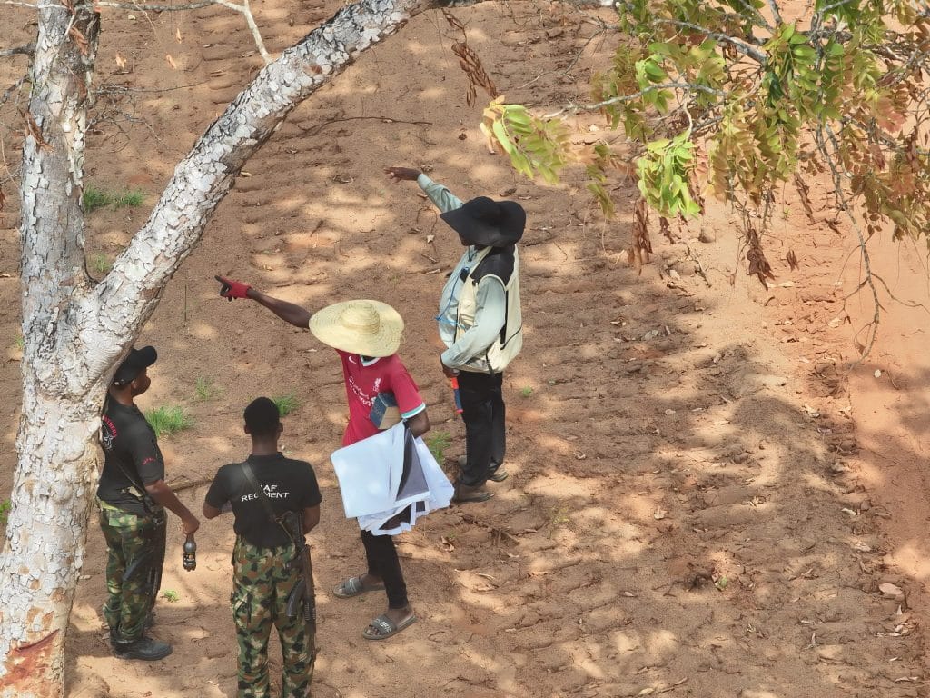
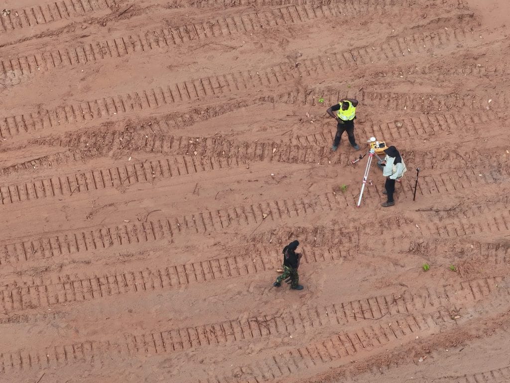
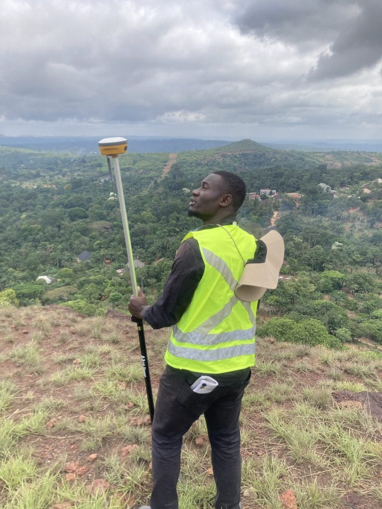
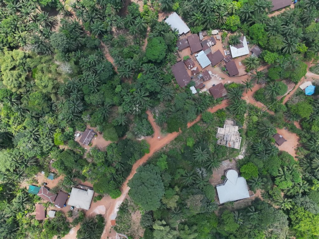
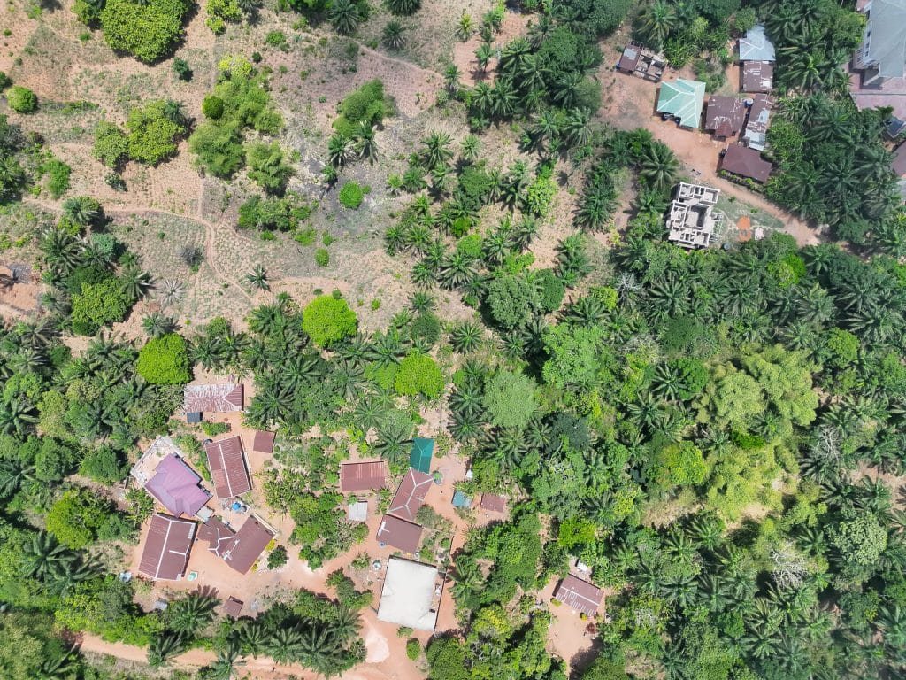
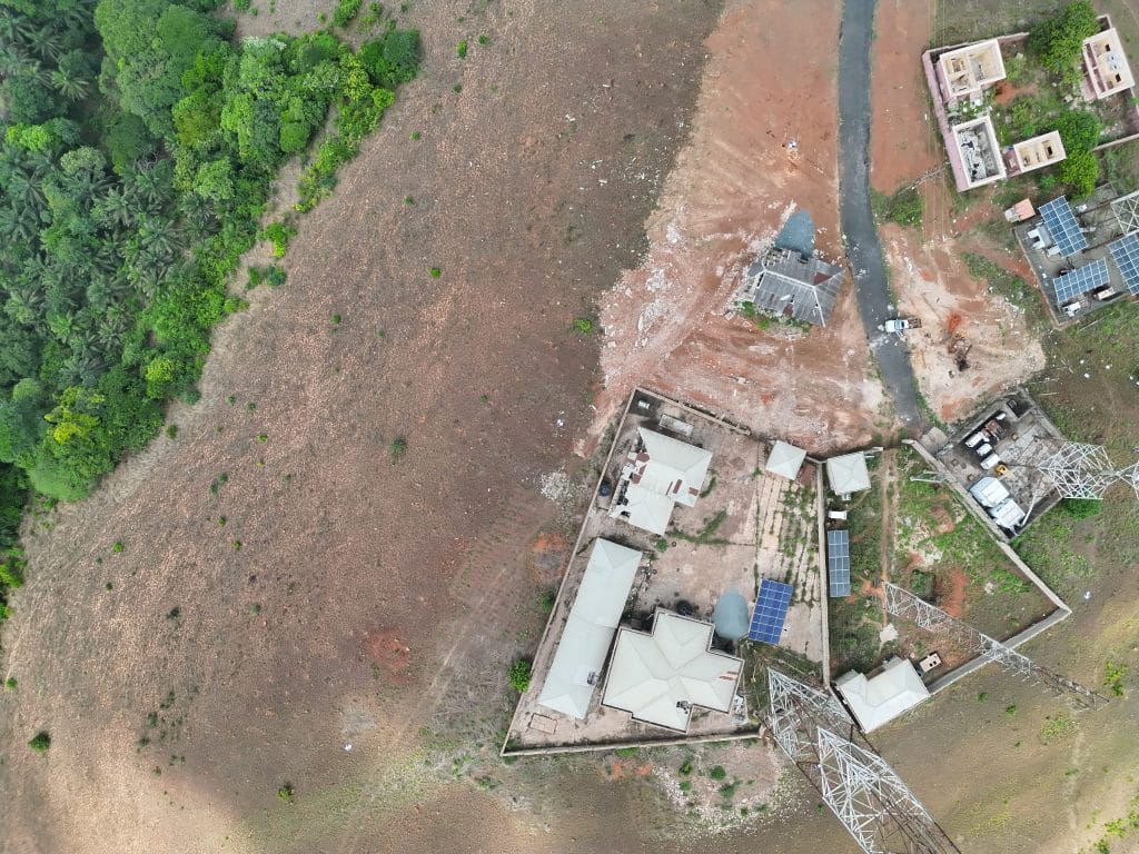
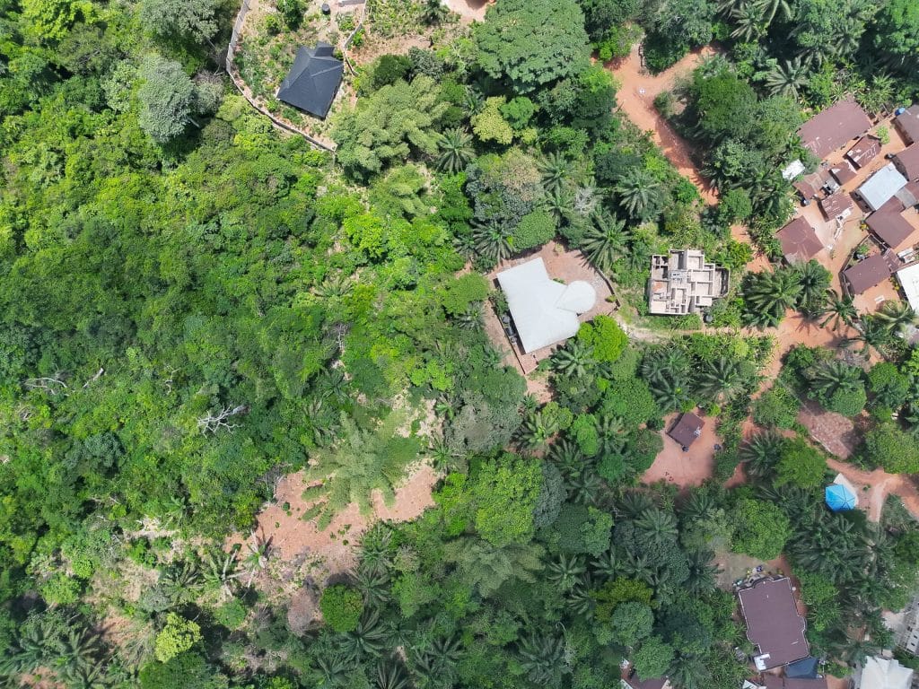
The survey commenced with a reconnaissance assessment and route planning exercise to define the cableway alignment between the C1, C2, and C3 positioning stations. Using UAV drone technology, Differential GNSS (RTK), and GIS tools, high-resolution aerial imagery and precise coordinate data were acquired across the 5.42 km project corridor and surrounding station locations.
The team subsequently processed the captured datasets using advanced photogrammetric and GIS software to generate orthophotos, Digital Surface Models (DSM), Digital Terrain Models (DTM), contour maps, slope maps, and hydrological datasets. These outputs provided critical insights into terrain morphology, elevation changes, drainage pathways, and environmental constraints necessary for engineering and route optimization.
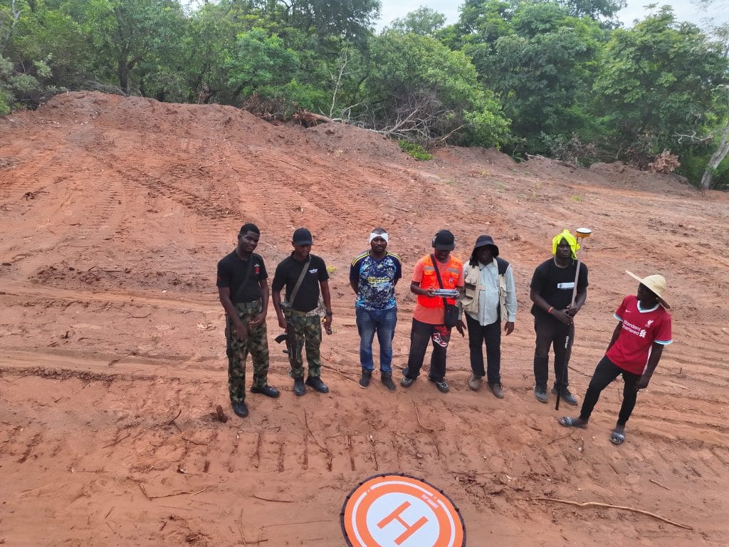
Field operations included drone deployment, RTK/GNSS control establishment, route positioning, and on-site validation, while office operations focused on data processing, terrain interpretation, hydrological modelling, cartographic production, and quality control. Deliverables included topographic maps, longitudinal route profiles, flow accumulation models, contour datasets, orthophotos, and engineering-ready spatial outputs for planning and construction purposes.
By integrating drone technology and modern geospatial methodologies, the survey significantly improved the efficiency, accuracy, and reliability of terrain mapping compared to traditional surveying methods, helping reduce project uncertainties and support informed engineering decisions throughout the cable car development process.
This project has enabled stakeholders involved in the Enugu Cable Car Project to better understand terrain conditions, elevation variability, drainage behaviour, and infrastructure constraints along the proposed route corridor. Geoinfotech continues to provide innovative geospatial solutions that support infrastructure development, environmental sustainability, and data-driven planning across complex engineering projects.
For future infrastructure assessments, regular topographic and route monitoring surveys are recommended to support construction planning, environmental management, infrastructure maintenance, and long-term operational efficiency.
Looking Forward: Advancing Infrastructure Development Through Geospatial Innovation
The successful implementation of UAV-based route topographic surveying for the Enugu Cable Car Project demonstrates how advanced geospatial technologies are transforming infrastructure planning and engineering development. As urban expansion and transportation demands continue to increase, the need for accurate, reliable, and high-resolution spatial data becomes increasingly important for sustainable project execution.
Geoinfotech remains committed to delivering cutting-edge surveying and mapping solutions that enable governments, developers, and engineering teams to make informed decisions with confidence. Through the integration of drone technology, GIS analysis, and precision surveying, organizations can improve planning accuracy, reduce project risks, optimize resource allocation, and achieve greater operational efficiency—transforming geospatial intelligence into a strategic advantage for modern infrastructure development.