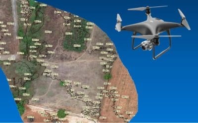
 Geoinfotech offers a multi-faceted, yet full-services approach to professional land surveying services. We provide quality services and technical excellence to clients across Nigeria and beyond. Our services extend not only to commercial clients but also to landowners, contractors, architects, developers, engineers, lenders, real estate firms, title companies, and the government.
Many consider surveying services as an after-thought. Most do not even realize its importance. Surveying and land surveying is the measurement and mapping of Land using mathematics, specialized technology, and equipment. The planning and design of all Civil Engineering projects such as the construction of highways, bridges, tunnels, dams, building construction, etc are based upon surveying measurements.

Land surveying will help you protect your investment. Buying a property such as a piece of land, a house, or a commercial space is a big investment. A land survey will give you important information which will determine if a property is/was a good buy or not.
Regardless of the purpose/ type of Land, Surveying is a preliminary activity and is necessary before the commencement of construction.
At GeoinfoTech, we provide various SURVEYING AND MAPPING services covering our expertise in Land and Water Surveying.
Our services;
- Engineering survey services
- Cadastral Surveying services
- Topographic surveying
- Land Surveying
- Engineering Survey
- GIS & Mapping
- Drone Survey (Aerial Data Collection)
- 3D Elevation Modeling
- Bathymetry
To contact us today about any of our services or for more information please visit our website at Contact us page/
or contact us by sending a mail to mail@geoinfotech.ng | contact@geoinfotech.ng
You can also contact us on WhatsApp at the following numbers+234 816 322 2177 | +234 901 872 4833


