What You’ll Learn:
In this interactive workshop, we’ll cover:
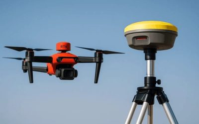
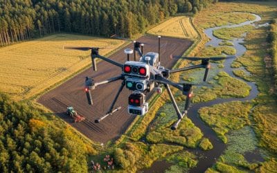
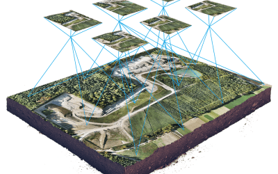
1. Understanding the synergy between Drone Imagery and LiDAR for mapping
2. Data acquisition and processing techniques for accuracy
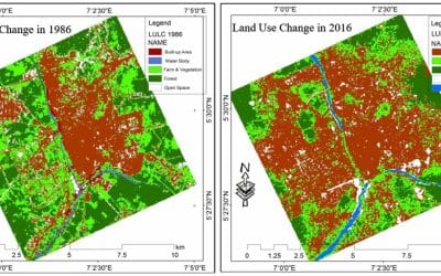
3. Case studies in topographic mapping and urban planning
4. Live demonstrations of drones and LiDAR systems
5. Networking opportunities with industry experts and professionals
Who Should Attend?
This workshop is perfect for:
1. Surveying and GIS professionals looking to upgrade their skill set
2. Engineering and environmental science students seeking practical experience
3. Construction, real estate, and forestry professionals interested in modern data collection tools
4. Anyone intrigued by drones, mapping, and the transformative power of technology
Why Attend?
It’s Free: We believe in making this advanced technology accessible. Join us at no cost!
Gain In-Demand Skills: LiDAR and drone mapping are highly sought-after skills in today’s job market.
Networking Opportunities: Connect with industry experts and like-minded participants who share your passion for technology and innovation.
Workshop Details
Date and Time: November 29th, 2024, 11:00 A.M Prompt
Venue (Lagos Office): Oluwalogbon House, Testing Ground B/S off Obafemi Awolowo Way, Ikeja Lagos State. https://maps.app.goo.gl/c4M19ToKXhMuQVSJ7?g_st=ic
Registration: Limited spots are available!
ShortLink: https://shorturl.at/ILdAg
URL: https://geoinfotech.ng/event/workshop-on-integration-of-drone-imagery-and-lidar-for-enhancedmapping
Don’t miss this opportunity to advance your career, enhance your skills, and experience the cutting-edge world of drone mapping with LiDAR. Register today and take the first step toward mastering the future of surveying technology!


