
In today’s era of high accuracy positioning, GNSS RTK (Real Time Kinematic) has become a cornerstone technology for precision surveying. From cadastral mapping and engineering design to infrastructure monitoring and geospatial data acquisition, RTK based systems deliver centimeter level accuracy that conventional GPS simply can’t match. However, achieving such precision consistently depends not only on technology but also on proper training and adherence to best practices.

Understanding GNSS RTK and Its Importance
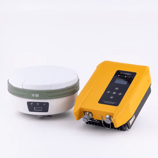
Real Time Kinematic GNSS is a differential technique that enhances the accuracy of satellite positioning by using a base station and rover receiver to correct signal errors in real time. These corrections reduce the margin of error from several meters to just a few centimeters, making RTK essential for high accuracy land surveying, construction layout, and geodetic control.
For professionals and trainees in the geospatial field, mastering GNSS RTK is more than learning how to operate a receiver. It involves understanding the underlying principles, error sources, data workflows, and environmental factors that affect signal quality.
Structured GNSS RTK Training: Building Strong Foundations
A robust GNSS RTK training program should balance theory with hands on field practice. Trainees must first grasp core geodesy and coordinate systems, satellite geometry, and signal correction principles. This foundation ensures they understand not just how to use the equipment, but why specific steps are necessary.
Practical sessions should include:
- Setting up base and rover units correctly
- Understanding antenna height measurements and offsets
- Managing radio link or internet corrections for RTK networks
- Testing performance under varying environmental conditions
Incorporating real world survey scenarios such as boundary surveys, control network establishment, and topographic mapping reinforces competence and confidence.
Best Practices for Surveying with RTK GNSS
To achieve the best results in surveying with RTK GNSS, professionals should adhere to field tested guidelines:
- Maintain clear sky visibility: Obstructions like trees, buildings, and powerlines can degrade signal quality and introduce multipath errors
- Monitor satellite geometry (PDOP): A low PDOP value (below 2) ensures optimal satellite positioning and accuracy
- Check correction link stability: Whether using radio or cellular connections, ensure a stable correction signal from the base or CORS network
- Conduct instrument calibration: Regularly verify antenna heights, offsets, and coordinate parameters
- Document field conditions: Record environmental factors and anomalies during observation for post processing validation
These practices transform GNSS RTK from a mere positioning tool into a precision instrument of professional grade reliability.
Integrating Differential GPS (DGPS) and RTK Concepts
Many GNSS RTK training modules introduce Differential GPS (DGPS) as a stepping stone. While DGPS offers meter level accuracy through real time corrections, RTK enhances that to centimeter level by resolving carrier phase ambiguities. Understanding both systems provides trainees with a complete picture of differential positioning and prepares them for hybrid operations using RTK, DGPS, and post processed kinematic (PPK) workflows.
Leveraging Technology and Data Management Tools
Modern RTK systems integrate with GIS software, field controllers, and cloud platforms for seamless data flow. Professionals should be trained to:
- Export and integrate survey data into GIS platforms
- Utilize GNSS correction services such as NTRIP
- Apply data quality checks before project submission
Digital literacy complements technical accuracy, making surveyors more efficient and versatile.
Continuous Professional Development
The geospatial industry evolves rapidly, with new GNSS constellations, correction services, and software updates emerging regularly. Professional GNSS survey training should therefore include refresher courses and certification programs. Encouraging lifelong learning ensures that surveyors remain proficient and adaptive to modern field challenges.
Conclusion
Mastering GNSS RTK is essential for any professional aiming to excel in precision surveying. Through a structured combination of technical understanding, field discipline, and continuous training, surveyors can harness the full potential of real time kinematic GNSS technology. The result is more accurate data, efficient workflows, and a higher standard of geospatial excellence in every project.


