Building Lagos with Confidence
Lagos is Africa’s fastest-growing city. Every day, new estates, bridges, high-rise buildings, and commercial centers spring up across the city. Behind every successful project is a structural engineer in Lagos, working hard to design safe and lasting structures.
But here’s the truth: Lagos is not the easiest place to build. Much of the city is waterlogged, the soil is unstable in many areas, flooding is a constant problem, and land disputes are common. A structural engineer cannot work effectively without accurate land and location data. That’s why land surveyors and geospatial data are essential partners for engineers.
In this post, we’ll break down how surveyors and geospatial technology help structural engineers in Lagos design smarter, build safer, and avoid costly mistakes.
Why Engineers in Lagos Need More Than Blueprints
In other parts of the world, construction is straightforward because the land is stable and boundaries are clear. Lagos is different.
- The city is built on sandy and reclaimed land, which makes soil conditions unpredictable.
- Flooding and drainage problems threaten buildings, especially in Lekki, Ajah, and Surulere.
- Rapid urbanization often leads to poorly planned construction that puts lives at risk.
- Land ownership disputes are common when survey plans are missing or outdated.
This is why a structural engineer in Lagos cannot rely only on blueprints. They need precise ground data, updated maps, and professional surveys to guide every stage of construction.
What Is Geospatial Data (Explained Simply)?
Geospatial data is information tied to a specific location. In simpler terms, it’s data that shows “where” something is.
For engineers, geospatial data may include:
- Survey plans that confirm the exact boundaries of land.
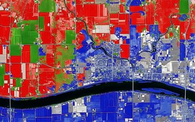
- Topographic maps that show elevation and slopes.
- GNSS coordinates that pinpoint locations on the Earth.
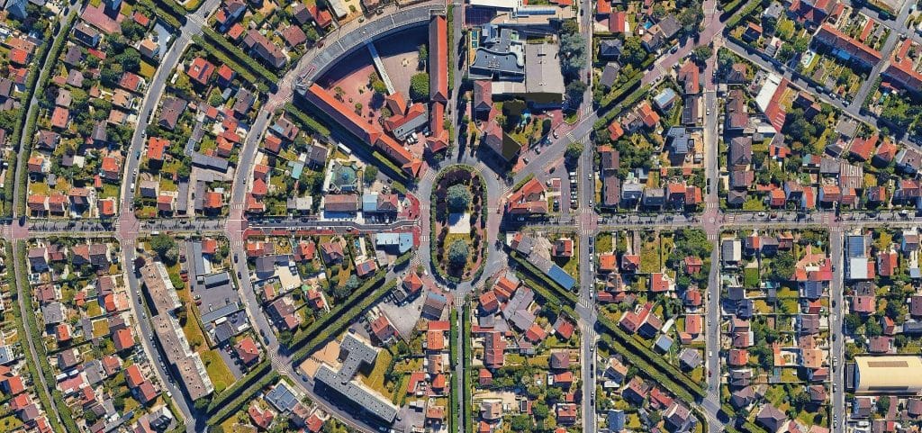
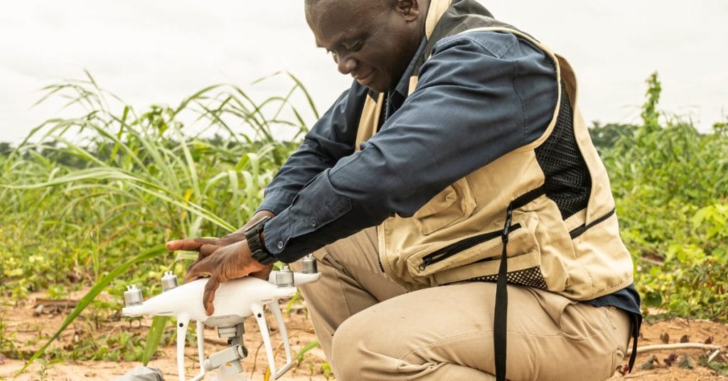
- Drone images and 3D models that give detailed views of construction sites.
- LiDAR scans that capture millions of points to model terrain and structures.
- Soil and borehole data that reveal what lies underground.
This information helps engineers design foundations, drainage systems, and structures that match real site conditions.
How Land Surveyors Help Structural Engineers in Lagos
1. Confirming Land Boundaries
Surveyors ensure engineers know exactly where a project starts and ends. A registered survey plan removes the risk of encroaching on government land or neighboring plots. This is critical for avoiding disputes and getting Lagos State approvals.
2. Providing Elevation and Site Data
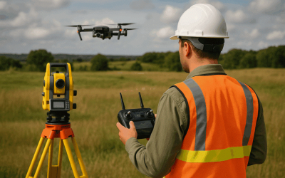
Even small height differences on a site can affect how water flows and how stable the ground is. Surveyors use drones, GPS, and total stations to create detailed maps showing slopes and contours. Engineers then use this to decide whether to build shallow foundations or deep piles.
3. Setting Out Buildings Accurately
Surveyors transfer building designs from paper to the actual site with precision. They use GNSS/RTK equipment to mark foundation points and structural grids. This ensures the building stands exactly where the engineer designed it.
4. Monitoring Movement During Construction
Soft Lagos soil can shift, causing cracks or tilting in structures. Surveyors use advanced tools like drones and LiDAR to monitor settlement and movement during and after construction. Detecting issues early helps engineers correct them before they become serious.
5. Linking Soil Tests to Maps
Soil reports are important, but when surveyors plot borehole data onto maps, engineers can see how soil strength changes across the site. This prevents surprises when piling or excavating.
6. Helping with Flood and Drainage Design
Surveyors analyze land slopes and water flow using geospatial data. Engineers then design effective drainage systems and sometimes raise building levels to reduce flood risk. This is especially important in flood-prone areas of Lagos.
7. Delivering As-Built Surveys
When projects are completed, surveyors prepare as-built surveys showing the final position of buildings. Engineers use these to confirm accuracy, submit reports, and obtain occupancy permits.
Real Examples in Lagos
- In Lekki, a structural engineer avoided foundation failure by using updated drone surveys and borehole mapping.
- On the Mainland, a government project faced land disputes until surveyors prepared a corrected, registered survey plan that cleared approvals.
- In Ajah, drone elevation models helped engineers design flood-resistant estates by raising platform levels.
The Right Workflow: Engineers + Surveyors
Successful projects in Lagos follow this simple process:
- Before Design – Engineers request survey plans and topographic data.
- During Design – Foundation design is guided by soil maps and terrain data.
- Pre-Construction – Surveyors set out control points and building markers.
- During Construction – Monitoring ensures the building stays aligned and stable.
- After Completion – As-built surveys confirm accuracy for approvals.
Avoiding Common Mistakes
- Using old or fake maps instead of updated surveys.
- Hiring unregistered surveyors (only SURCON-registered plans are valid).
- Waiting until construction starts before involving surveyors.
- Skipping post-construction monitoring.
A smart structural engineer in Lagos avoids these mistakes by working with professionals from the start.
Compliance with Lagos Authorities
The Lagos State Building Control Agency (LASBCA) requires:
- A registered survey plan
- Structural drawings signed by professionals
- Environmental impact assessments for major projects
Without these, projects risk delays, penalties, or even demolition. Working with licensed surveyors makes the approval process much faster.
Lagos is a city of opportunities, but also of engineering challenges. Every structural engineer in Lagos who wants to deliver safe, durable, and approved projects must rely on accurate geospatial data and professional surveyors.
At Geoinfotech, we work hand-in-hand with structural engineers to provide:
- Registered survey plans
- Drone mapping and LiDAR scanning
- GNSS control networks
- GIS integration with soil and geotechnical data
- As-built surveys and monitoring reports
Call us today: +234 816 322 2177
Lagos Office: Oluwalogbon House, Obafemi Awolowo Way, Alausa Ikeja, Lagos
With the right data and the right partners, engineers in Lagos can build smarter, safer, and stronger.


