
ArcGIS is a powerful Geographic Information System (GIS) software suite used for creating, analyzing, and managing spatial data. Whether you’re a student, a professional, or simply an enthusiast eager to explore the world of GIS, this beginner’s guide will help you get started with ArcGIS.
What is ArcGIS?
ArcGIS is a comprehensive GIS platform developed by Esri. It enables users to create interactive maps, perform spatial analysis, and manage geospatial data. The software comes in multiple formats, including:
- ArcGIS Pro: A desktop GIS software for advanced mapping and analysis.
- ArcGIS Online: A web-based GIS platform for sharing maps and collaborating online.
- ArcGIS Mobile Apps: Applications like Field Maps and Survey123 for collecting data in the field.
Installing ArcGIS Pro
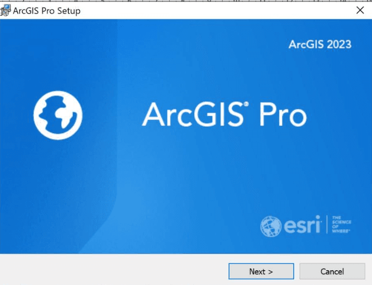
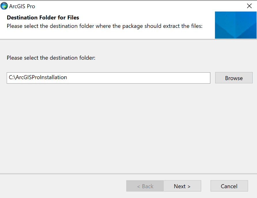
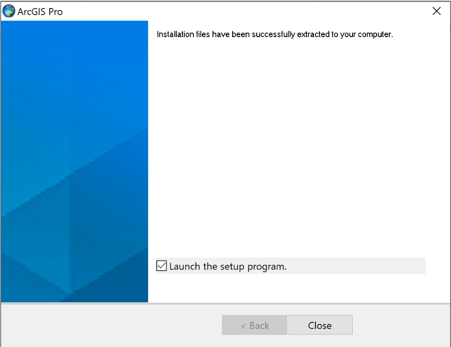
To begin using ArcGIS, you’ll need to install ArcGIS Pro, the desktop application. Here’s how:
- Download ArcGIS Pro: Visit Esri’s website and create an account. Download the free trial or licensed version of ArcGIS Pro.
- System Requirements: Ensure your computer meets the system requirements for ArcGIS Pro, including a Windows operating system and sufficient RAM.
- Installation: Run the installer and follow the on-screen instructions.
- Sign In: Launch ArcGIS Pro and sign in with your Esri account credentials.
Navigating the ArcGIS Pro Interface
Once you open ArcGIS Pro, you’ll see the following key components:
- Start Page: Access recent projects or create a new project.
- Ribbon Toolbar: Contains tools and commands organized into tabs like Map, Analysis, and Insert.
- Contents Pane: Lists layers and elements in your map or project.
- Catalog Pane: Manages your data, maps, and layouts.
- Map View: Displays your map, where you’ll perform your analysis and edits.
Take a moment to familiarize yourself with these elements.

Creating Your First Map
Follow these steps to create a simple map in ArcGIS Pro:
Step 1: Start a New Project
- Open ArcGIS Pro and click on New Project.
- Select Map and name your project. Choose a folder to save your project files.
Step 2: Add Data to Your Map
- Click on the Map tab in the Ribbon Toolbar.
- Select Add Data and browse for a shapefile, geodatabase, or any other geospatial dataset. If you don’t have any data, download a sample dataset from Esri’s Living Atlas.
Step 3: Explore and Style Your Data
- Use the Explore Tool in the toolbar to inspect features in your map.
- To change the appearance of your data, right-click on the layer in the Contents Pane and choose Symbology. Select colors, patterns, or symbols that best represent your data.
Step 4: Save Your Work
Click on File > Save As to save your project. This will preserve your map, data, and settings for future use.
Exporting Your Map
To share your work, you can export your map as an image or PDF:
- Go to the Share tab and select Export Map.
- Choose the file format (e.g., PNG, JPEG, PDF) and resolution.
- Save the exported file to your computer.
- Recent Updates in ArcGIS Pro
ArcGIS Pro is constantly evolving with new features and updates. Some recent updates include:
- Improved Symbology Tools: Enhanced options for styling data with dynamic symbols.
- Performance Enhancements: Faster rendering of large datasets and smoother navigation.
- AI Integration: Tools for automated feature extraction using machine learning.
- Collaboration Tools: Better integration with ArcGIS Online for sharing projects.
Check Esri’s release notes to stay updated on the latest feature Tips for Beginners
- Practice with Sample Data: Use Esri’s free datasets to practice your skills.
- Take Advantage of Tutorials: Esri offers a wealth of tutorials and resources on their website.
- Join the Community: Participate in GIS forums and groups to learn from others.
- Experiment with Tools: Explore different tools and settings to see what they do.
Getting started with ArcGIS Pro may seem daunting at first, but with practice, you’ll unlock its full potential. From creating simple maps to performing advanced spatial analysis, ArcGIS Pro is an invaluable tool for GIS professionals and enthusiasts alike.
So, fire up ArcGIS Pro, dive into the world of GIS, and start creating your first maps today!


