
geospatial-solutions-nigeria.jpg
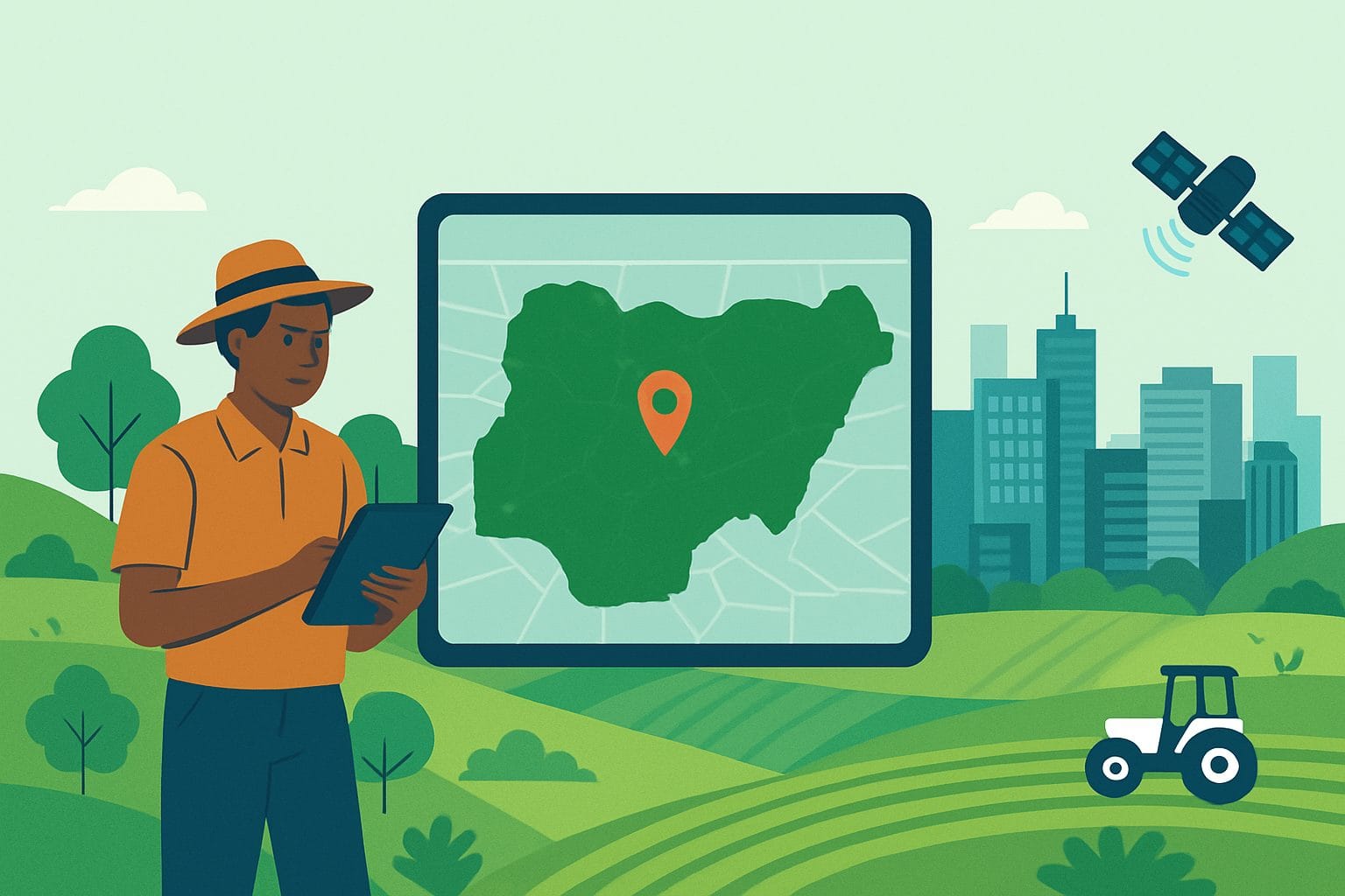
Introduction: Seeing Nigeria from a New Angle
Have you ever noticed how looking at something from above gives you a clearer picture? That’s what geospatial technology does for Nigeria. It helps us see our land, farms, cities, and resources in ways that make planning smarter and decisions easier.
In Nigeria today, we face many challenges, rapid city growth, farming needs, flooding, road expansion, and even electricity management. Solving these problems requires more than just effort; it requires accurate information. That’s where Geoinfotech Resources Limited, based in Lagos, comes in. The company provides tools and services that help people understand the land better, plan better, and work smarter.
What Geoinfotech Does
At Geoinfotech, the goal is simple: turn data into decisions. Here’s how the company does it:
Land Surveying
When building a house, road, or estate, you need to know the exact shape and size of the land. Geoinfotech carries out surveys that show the details, boundaries, elevations, and underground features, so projects can be done correctly and legally.
Drone Mapping & Inspection
Instead of sending people to dangerous sites or walking across large farmlands, Geoinfotech uses drones to capture clear, high-resolution images from the air. These images are turned into detailed maps, models, and measurements that save time, reduce costs, and remove risks.
GIS & Data Processing
GIS (Geographic Information Systems) might sound technical, but it simply means using maps and data to solve real problems. For example, GIS can show which areas are prone to flooding, where roads should be built, or how farmland is being used.
Smart Agriculture
Nigeria relies heavily on farming. By using drones and satellite images, Geoinfotech helps farmers check crop health, manage irrigation, and predict harvests. This means better yields and less waste.
Training & Skills Development
Technology is only powerful if people know how to use it. Geoinfotech trains students, professionals, and organizations in GIS, drone operations, and mapping, both online and in person. This builds skills that are valuable in today’s job market.
Equipment and Software
Through its GeoStore, Geoinfotech also supplies drones, GIS software, maps, and survey equipment, making it easier for individuals and companies to access the right tools.
Why This Matters for Nigeria
Geospatial services are not just about maps. They directly impact everyday life in Nigeria:
- City Growth: As Lagos and Abuja expand, accurate mapping ensures buildings, roads, and drainage systems are planned properly.
- Farming: With climate challenges, farmers need better ways to monitor crops. Smart agriculture helps improve food security.
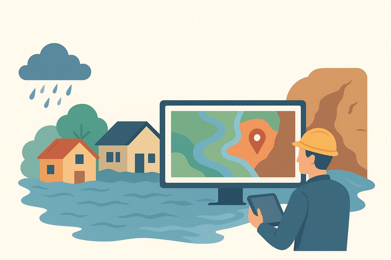
Disaster Management: Floods and erosion affect communities every year. With the right data, these risks can be predicted and reduced.
- Infrastructure Safety: Drones can quickly check the condition of bridges, power lines, and pipelines without endangering workers.
- Jobs and Education: By training more people in GIS and drone technology, Geoinfotech helps create a skilled workforce that can compete globally.
Real Projects, Real Impact
Geoinfotech has worked on projects across Nigeria, showing how technology can solve real problems:
- Mapping solar power sites in Enugu using drone cameras to support renewable energy.
- Analyzing flooding patterns in Northern Nigeria to help communities prepare for heavy rains.
- Surveying Lakowe Golf Lake in Lagos with drones to aid in construction and land planning.
- Studying urban heat in Calabar to understand how city structures affect temperature.
These examples prove one thing: when you combine accurate data with the right expertise, the results are powerful.
Who Can Benefit from Geoinfotech?
- Government agencies that need accurate maps for planning.
- Construction and real estate firms looking for reliable surveys.
- Farmers and agribusinesses wanting to use modern farming methods.
- Universities and students who want to learn practical geospatial skills.
Oil & gas and utility companies need safe inspections of pipelines and power lines.
Conclusion: Building a Smarter Nigeria
Every drone flight, every survey, and every map created by Geoinfotech tells a story about Nigeria’s future. It’s about making smarter choices where to build, how to farm, how to protect communities, and how to grow sustainably.
Geoinfotech is not just offering services; it is helping Nigeria see clearly, plan better, and build a stronger future.
About Geoinfotech
Geoinfotech Resources Limited is a leading geospatial solutions company in Nigeria. From land surveying and drone mapping to GIS training and remote sensing, the company provides innovative solutions for governments, businesses, and individuals. Headquartered in Lagos, Geoinfotech is committed to using data and technology to power development across Nigeria.
Learn more at www.geoinfotech.ng.


